
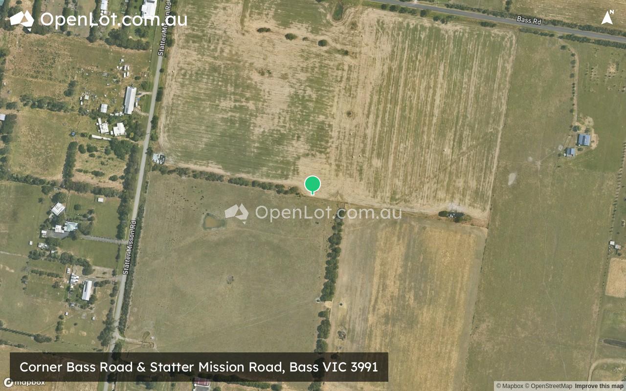
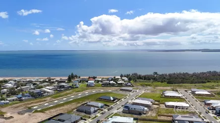
Corner Bass Road & Statter Mission Road, Bass VIC 3991
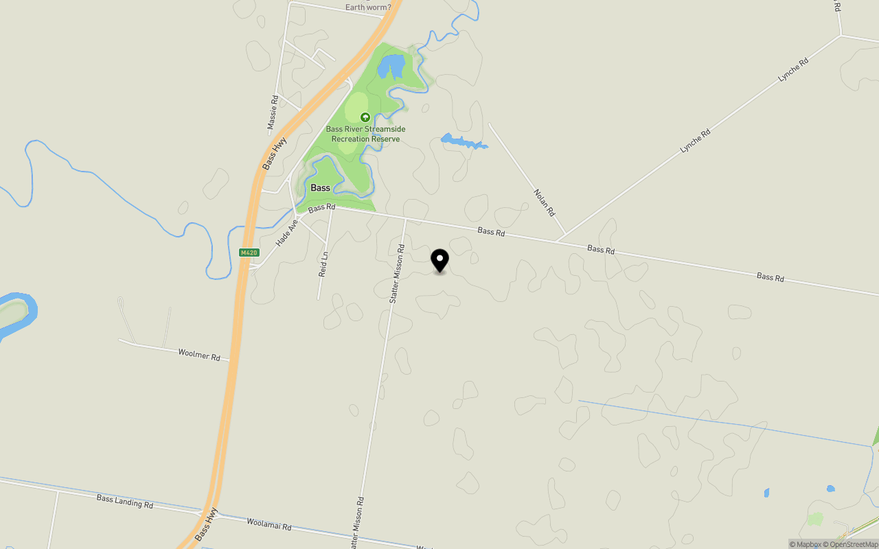
Location & Map for Corner Bass Road & Statter Mission Road, Bass VIC 3991
Schools near Corner Bass Road & Statter Mission Road, Bass VIC 3991
Overview
This information is estimated by the OpenLot research team. Let us know here to provide up-to-date information about this development.
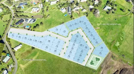
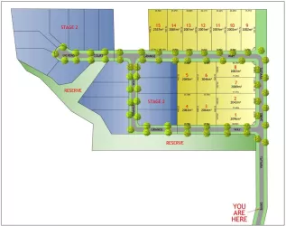
| Total new homes | |
| Area Size | 23.65 hectares |
| Growth Region | Gippsland Regional Growth Areas |
| City Council | Bass Coast Shire Council |
| Developer | N/A |
| Distance to |
Updates for Corner Bass Road & Statter Mission Road, Bass
Popular Estates near Corner Bass Road & Statter Mission Road, Bass


Not exactly what you're looking for? Try surrounding suburbs
Newhaven VIC 3925
1 estate | Bass Coast Shire Council
10.5km south-west
San Remo VIC 3925
9 estates | Bass Coast Shire Council
9.7km south-west
Kilcunda VIC 3995
2 estates | Bass Coast Shire Council
8.1km south
Coronet Bay VIC 3984
3 estates | Bass Coast Shire Council
5.1km north-west
Corinella VIC 3984
4 estates | Bass Coast Shire Council
7.6km north-west
Grantville VIC 3984
4 estates | Bass Coast Shire Council
8.5km north-east
Latest published articles


FAQs about Corner Bass Road & Statter Mission Road, Bass VIC 3991
Corner Bass Road & Statter Mission Road, Bass VIC 3991 consists of 13 homes.
The total area for Corner Bass Road & Statter Mission Road, Bass VIC 3991 is 23.65 hectares.
Corner Bass Road & Statter Mission Road, Bass VIC 3991 falls under Bass Coast Shire Council.
Corner Bass Road & Statter Mission Road, Bass VIC 3991 is 87 km south-east of Melbourne CBD.
Nearby schools for Corner Bass Road & Statter Mission Road, Bass VIC 3991:
- Bass Valley Primary School - 6.5km north
- Village High School - 8.5km south-east
- Powlett River Primary School - 10.1km south-east
- San Remo Primary School - 10.1km south-west
- Newhaven Primary School - 10.7km west
- Wonthaggi North Primary School - 16.3km south-east