


Ellendale Estate - Upper Kedron
[NEW RELEASE] Register your interest for our next land release, surrounded by nature and 12km from the CBD.


- Register your interest for our next land release.
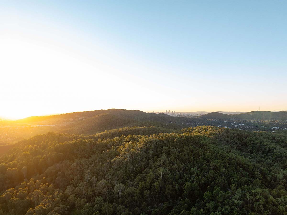
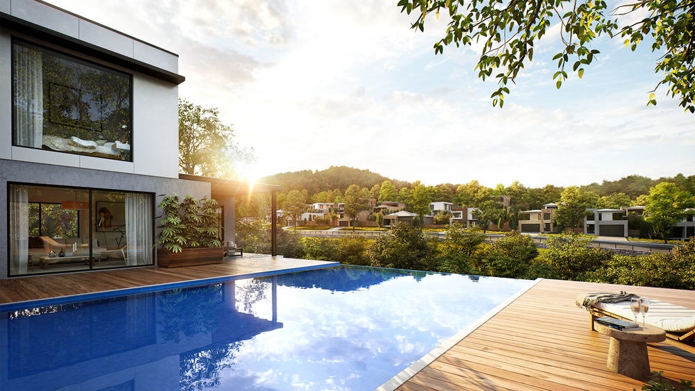
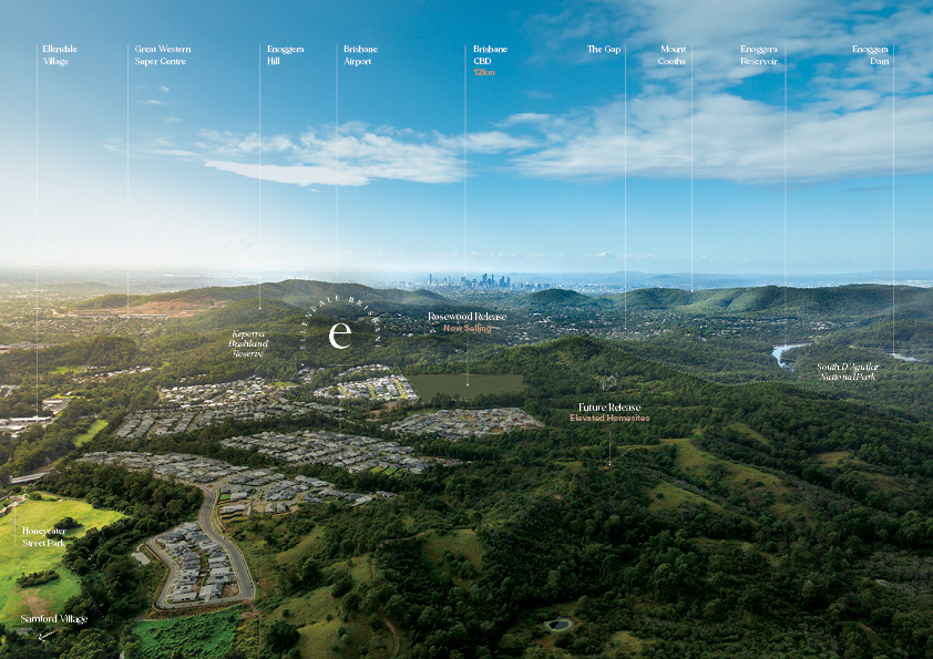
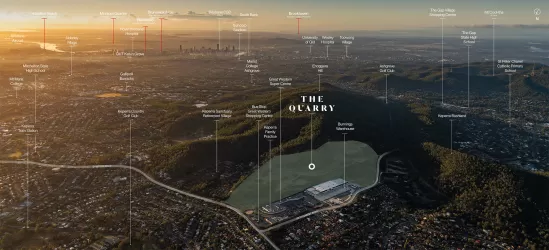
- A masterplanned community just 12km from the Brisbane CBD!
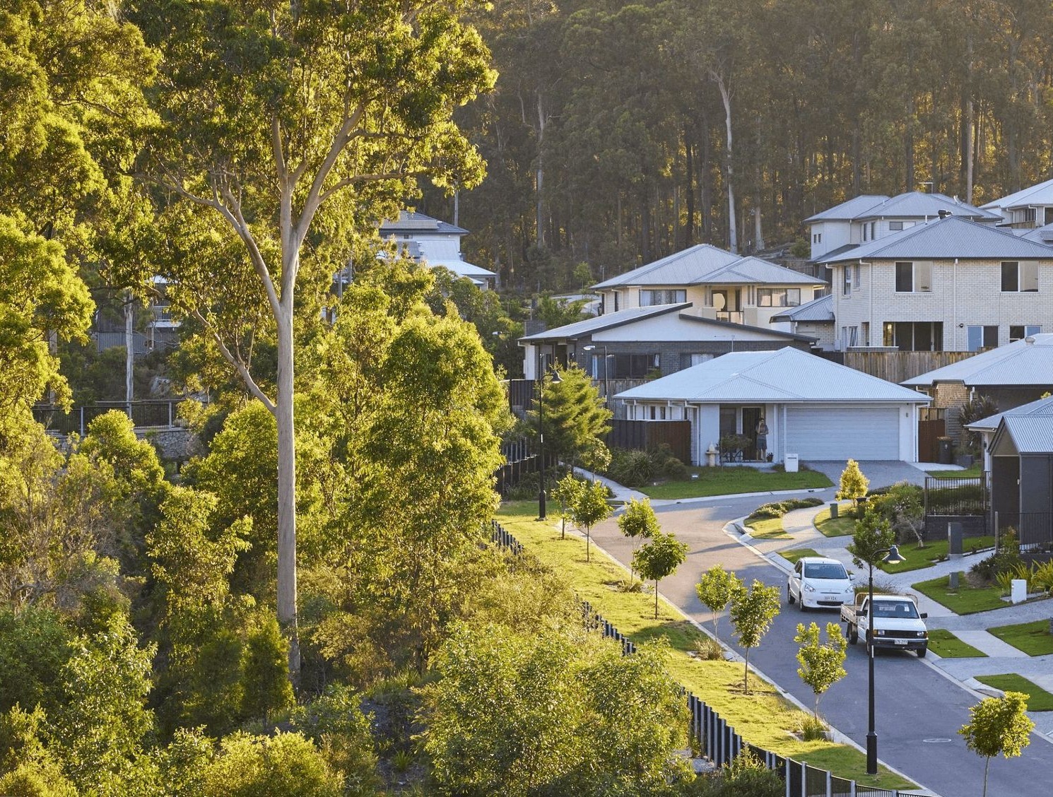
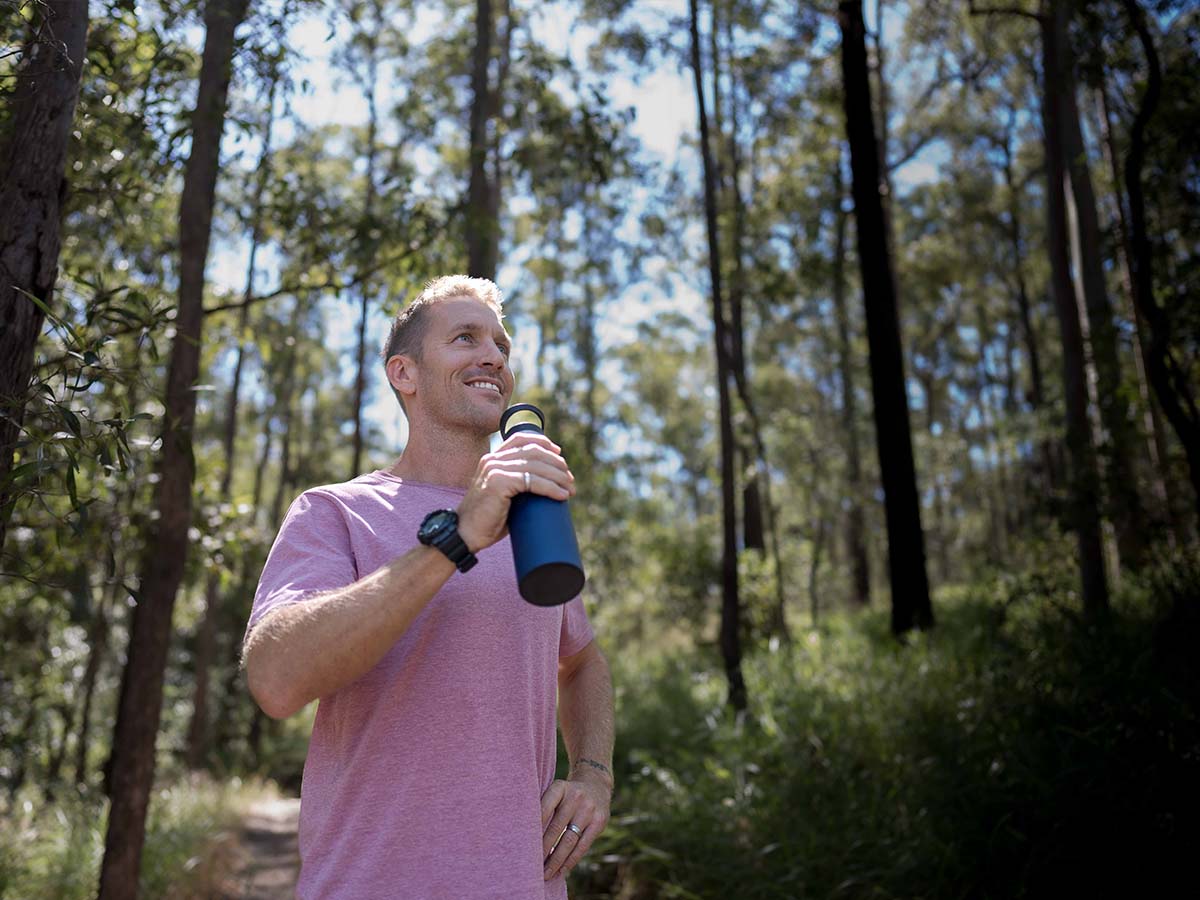
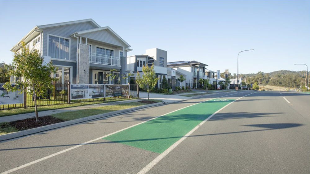
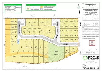
- A range of premium traditional and split & sloping homesites bordered by a stunning national park
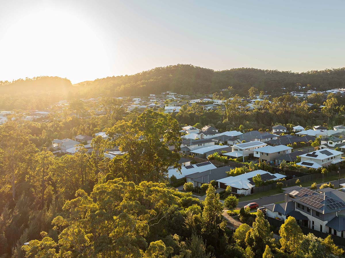
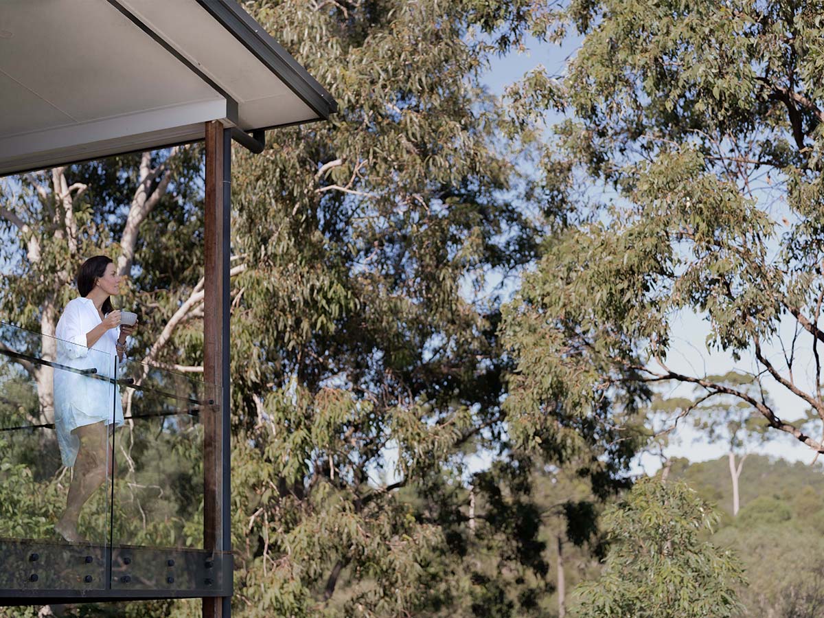
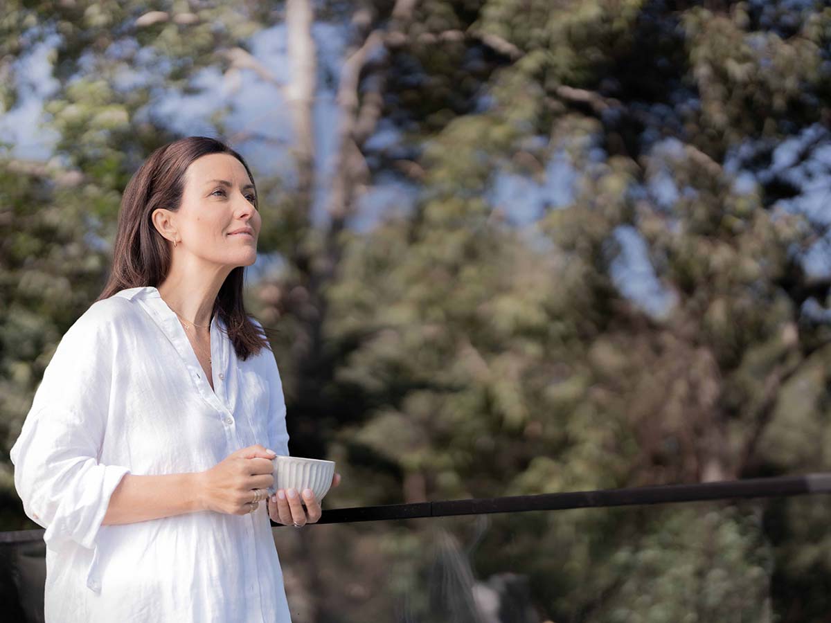
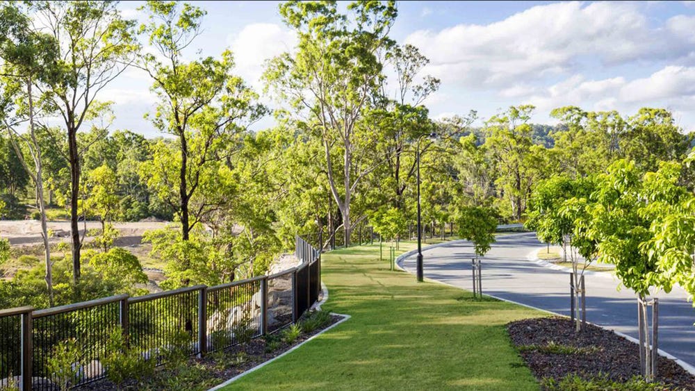
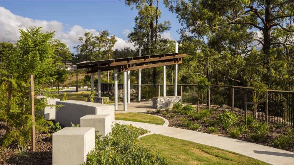
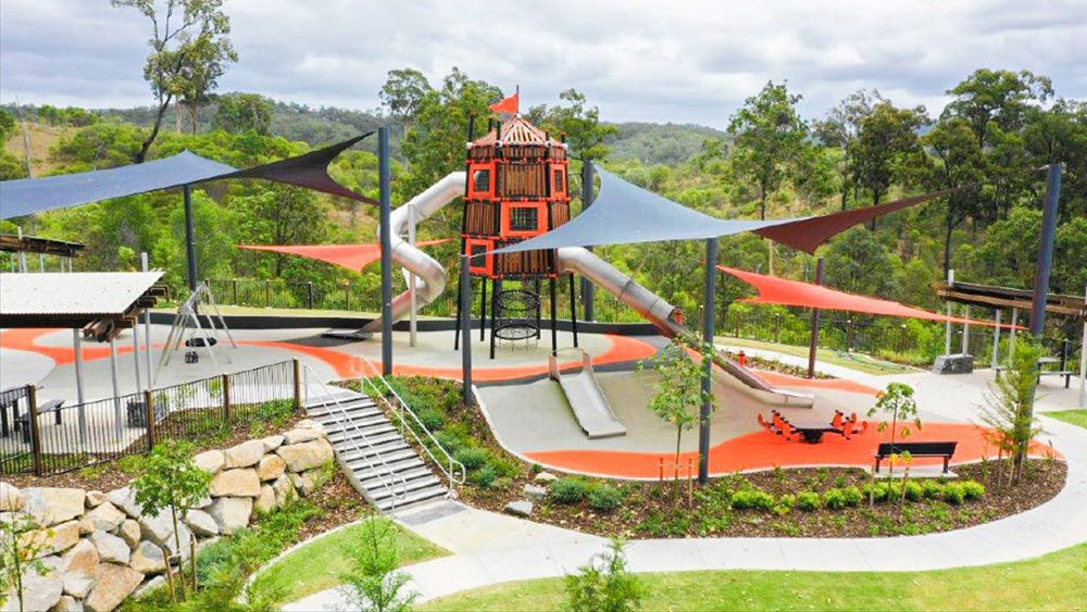
- Brisbane's most naturally beautiful community
- Surrounded by National Park and 91 hectares of green space
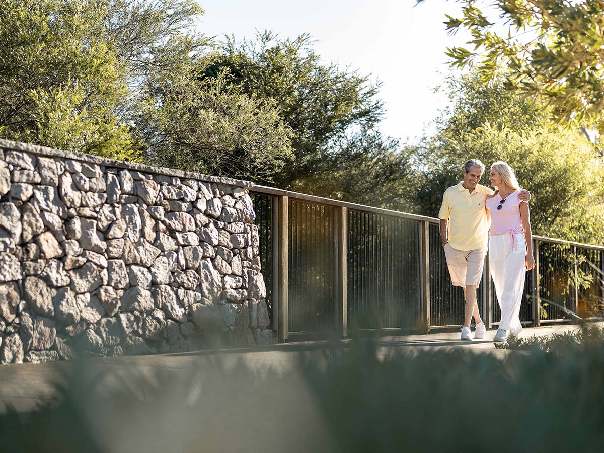
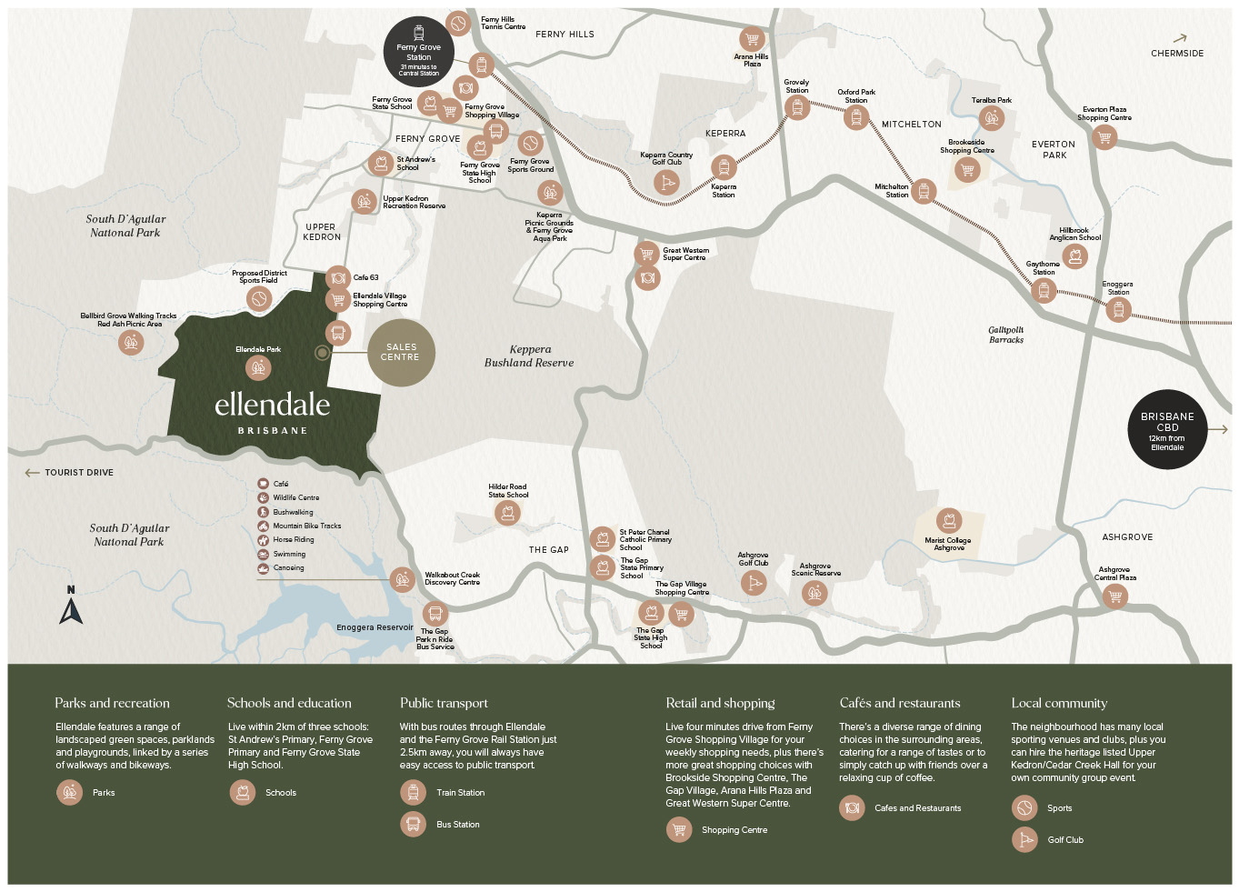
- Close to transport, public and private schools and recreational facilities
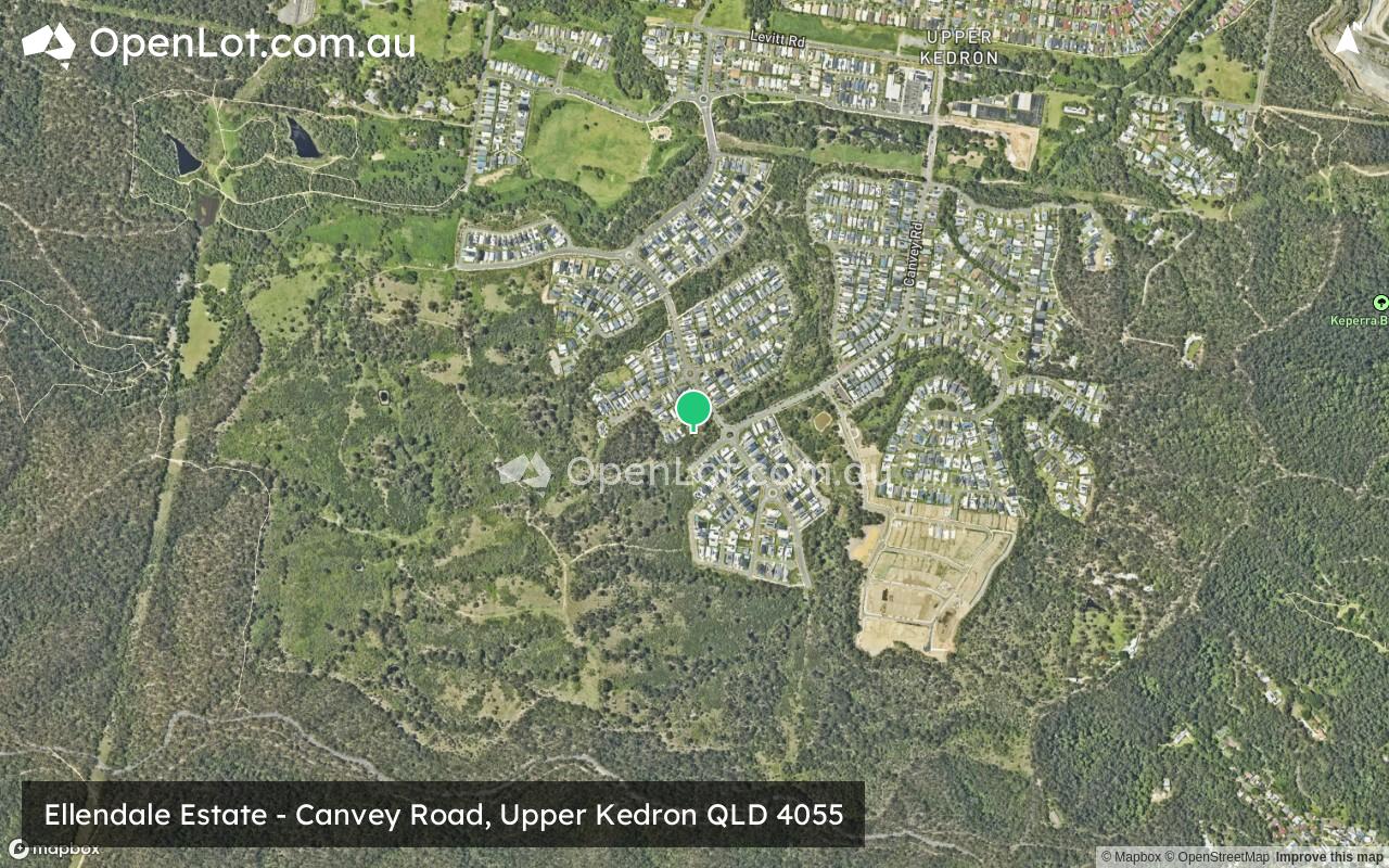
- The Ellendale Sales Centre is located at 324 Canvey Road and is open Saturday to Wednesday 11am - 4pm.
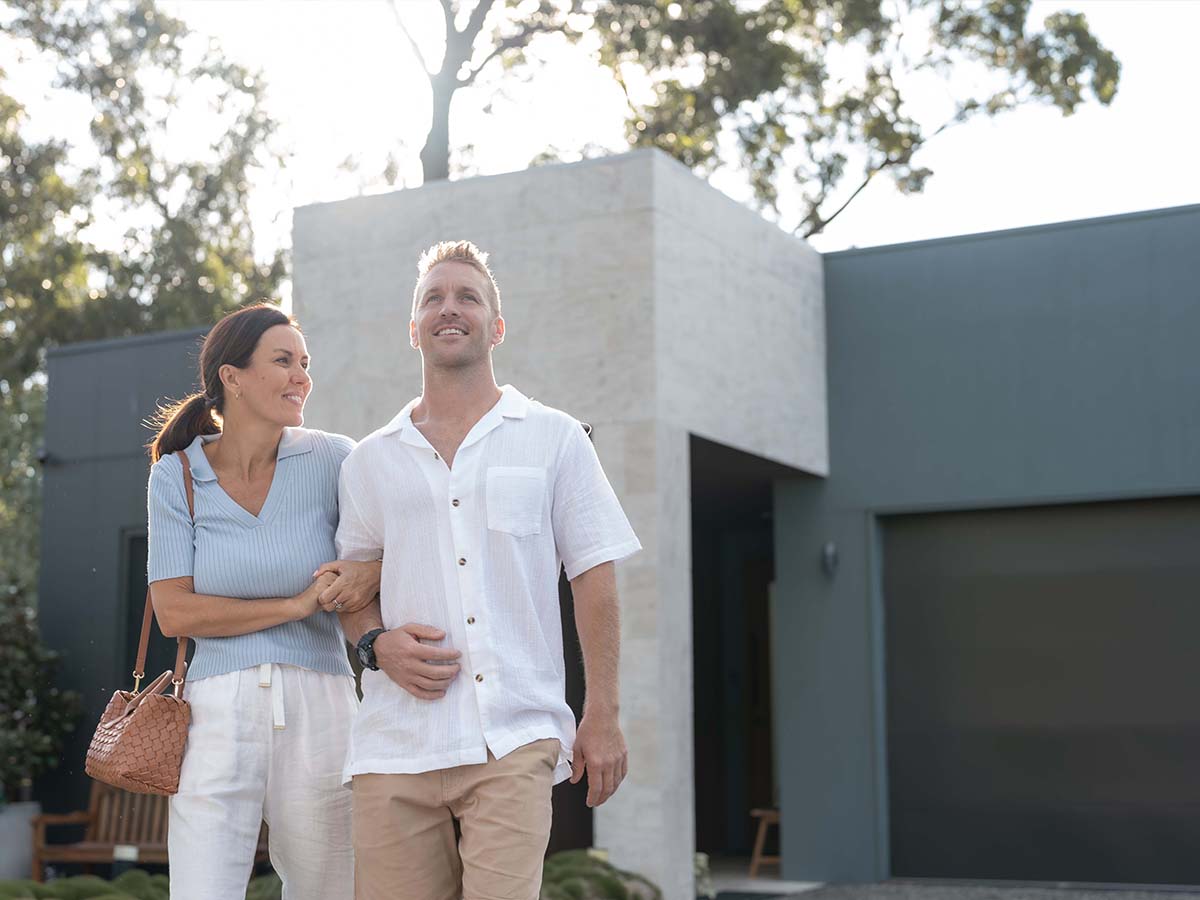
- Appealing streetscapes designed to integrate with the natural environment
- Premium development controlled by house Design Standards
- Minutes to Ellendale Village with IGA, childcare centre and cafes
- NBN ready with fibre to the premise
- Natural gas reticulated throughout the estate
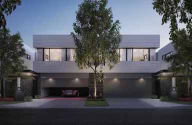
Property types for sale
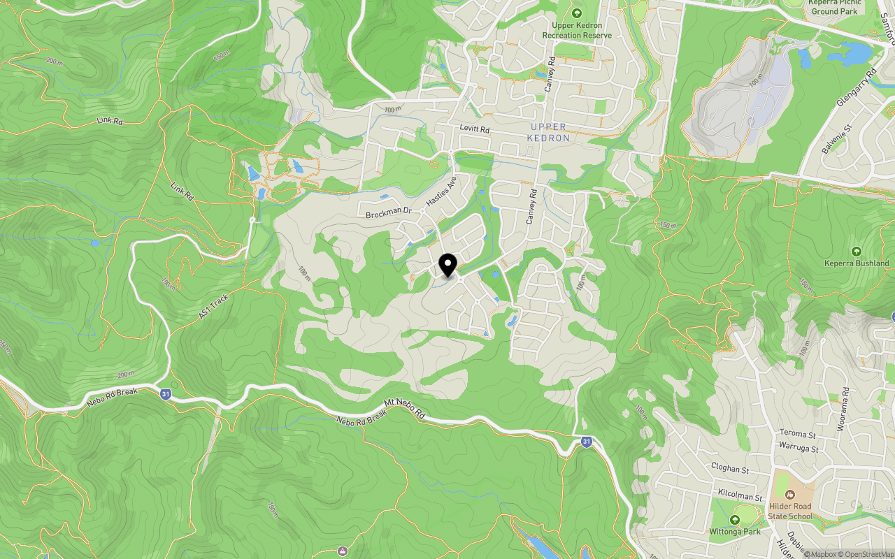
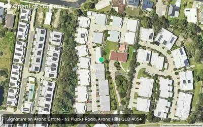
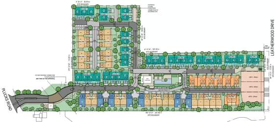
Location & Map for Ellendale Estate - Upper Kedron
Schools near Ellendale Estate - Upper Kedron
1 Land Lot in Ellendale Estate - Upper Kedron
1 Display Home in Ellendale Estate Display Village - Upper Kedron
Ellendale Upper Kedron Video
Overview
This information is estimated by the OpenLot research team. Let us know here to provide up-to-date information about this development.
| Total new homes | |
| Area Size | N/A |
| Growth Region | Greater Brisbane Growth Areas |
| City Council | Brisbane City Council |
| Developer | Cedar Woods Properties |
| Distance to |
Updates for Ellendale Estate - Upper Kedron


Land Price Trend in Upper Kedron QLD 4055
Below shows the price trend from vacant land sales recorded in Upper Kedron QLD 4055.
The data and information provided by Terralytics (Aust) Pty Ltd (Terralytics Data) is general in nature and is not intended to constitute professional advice. Read more
It should not be relied upon as a substitute for legal, financial, valuation, or other specialist advice relevant to your specific circumstances.
Terralytics uses commercially reasonable endeavours to ensure the Terralytics Data is current and accurate. However, as the Terralytics Data incorporates information sourced from third parties, Terralytics makes no representation or warranty — express or implied — as to its accuracy, completeness, or currency. To the maximum extent permitted by applicable law, Terralytics excludes all liability for any loss or damage (including consequential loss) arising out of or in connection with reliance on the Terralytics Data, whether arising in contract, tort (including negligence), statute, or otherwise.
Popular Estates near Ellendale Estate - Upper Kedron


Not exactly what you're looking for? Try surrounding suburbs
Arana Hills QLD 4054
3 estates | Moreton Bay Regional Council
4.4km north-east
The Gap QLD 4061
7 estates | Brisbane City Council
3.1km south-east
Enoggera QLD 4051
1 estate | Brisbane City Council
5.4km east
Ferny Grove QLD 4055
4 estates | Brisbane City Council
2.2km north-east
Samford Village QLD 4520
1 estate | Moreton Bay Regional Council
5.7km north-west
Keperra QLD 4054
1 estate | Brisbane City Council
3.6km east
Latest published articles


FAQs about Ellendale Estate - Upper Kedron
Cedar Woods Properties is the developer behind Ellendale Estate - Upper Kedron.
Ellendale Estate - Upper Kedron consists of 905 homes.
Ellendale Estate - Upper Kedron falls under Brisbane City Council.
Ellendale Estate - Upper Kedron is 12 km north-west of Brisbane CBD.
Nearby schools for Ellendale Estate - Upper Kedron:
- St Andrew's Catholic School - 2.1km north-east
- Hilder Road State School - 2.5km south-east
- Ferny Grove State High School - 2.8km north-east
- Ferny Grove State School - 2.9km north-east
- St Peter Chanel Primary School - 3.3km south-east
- The Gap State School - 3.5km south-east