
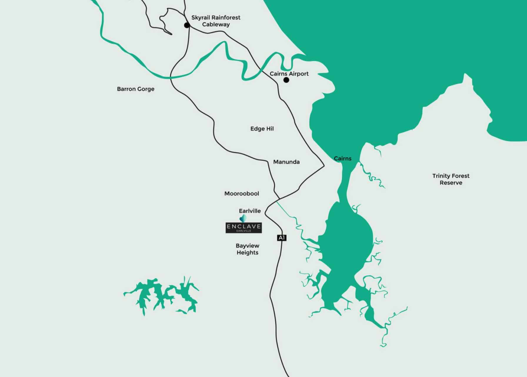
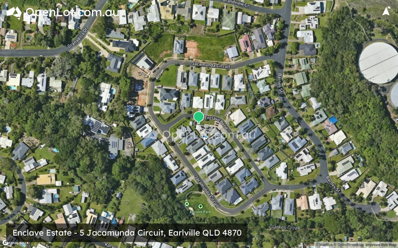
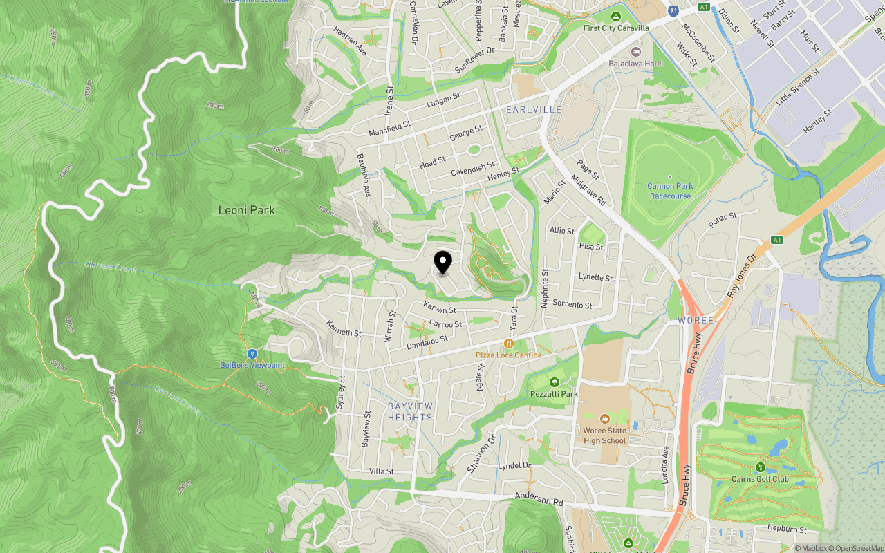
Location & Map for Enclave Estate - Earlville
Schools near Enclave Estate - Earlville
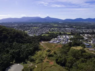
Enclave Earlville Video
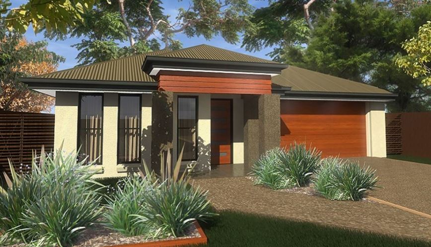
Overview
This information is estimated by the OpenLot research team. Let us know here to provide up-to-date information about this development.
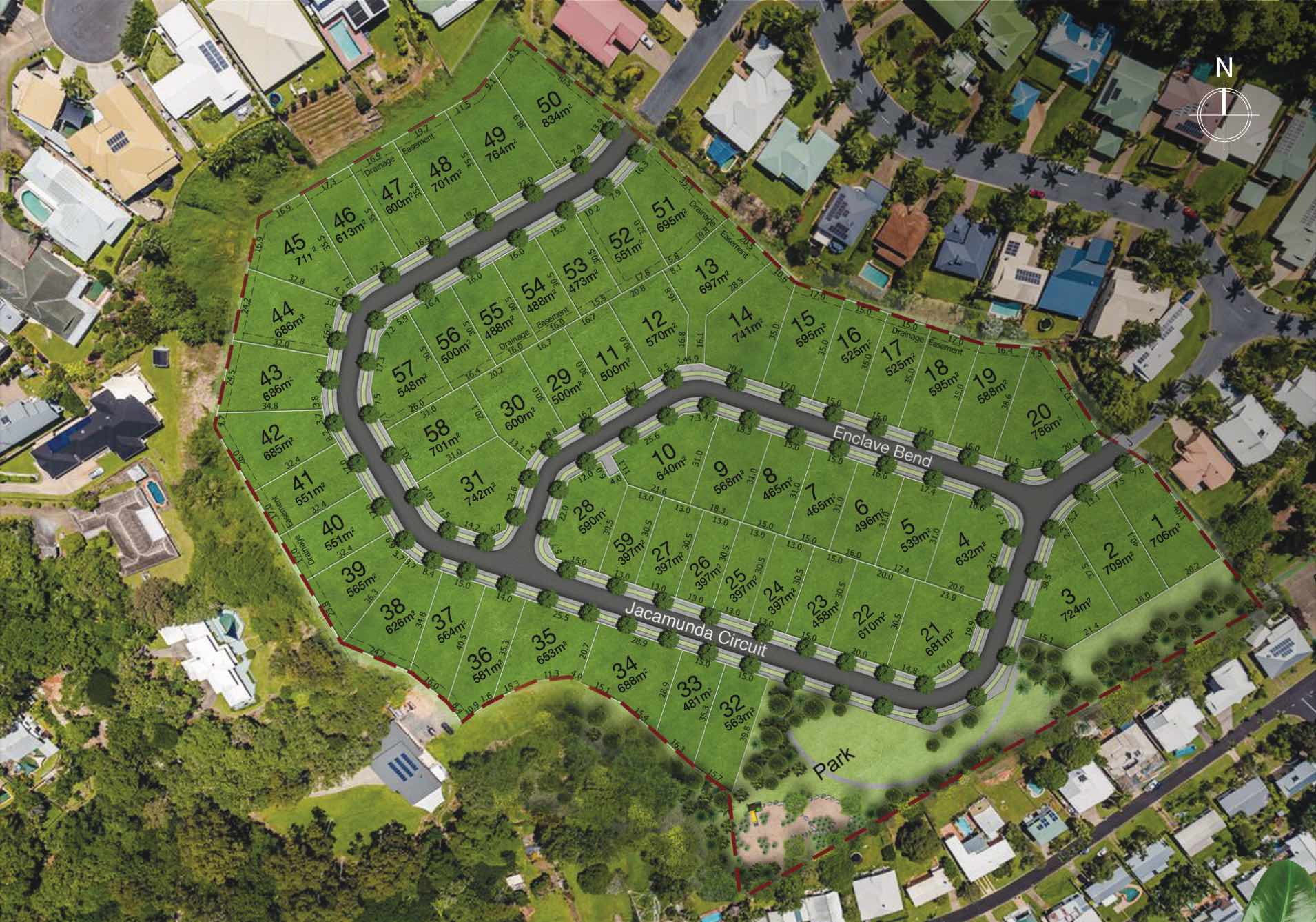
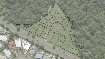
| Total new homes | |
| Area Size | N/A |
| Growth Region | Cairns (Far North Queensland Region) |
| City Council | Cairns Regional Council |
| Developer | Urbex |
| Creative Agency | Thirteen Digital |
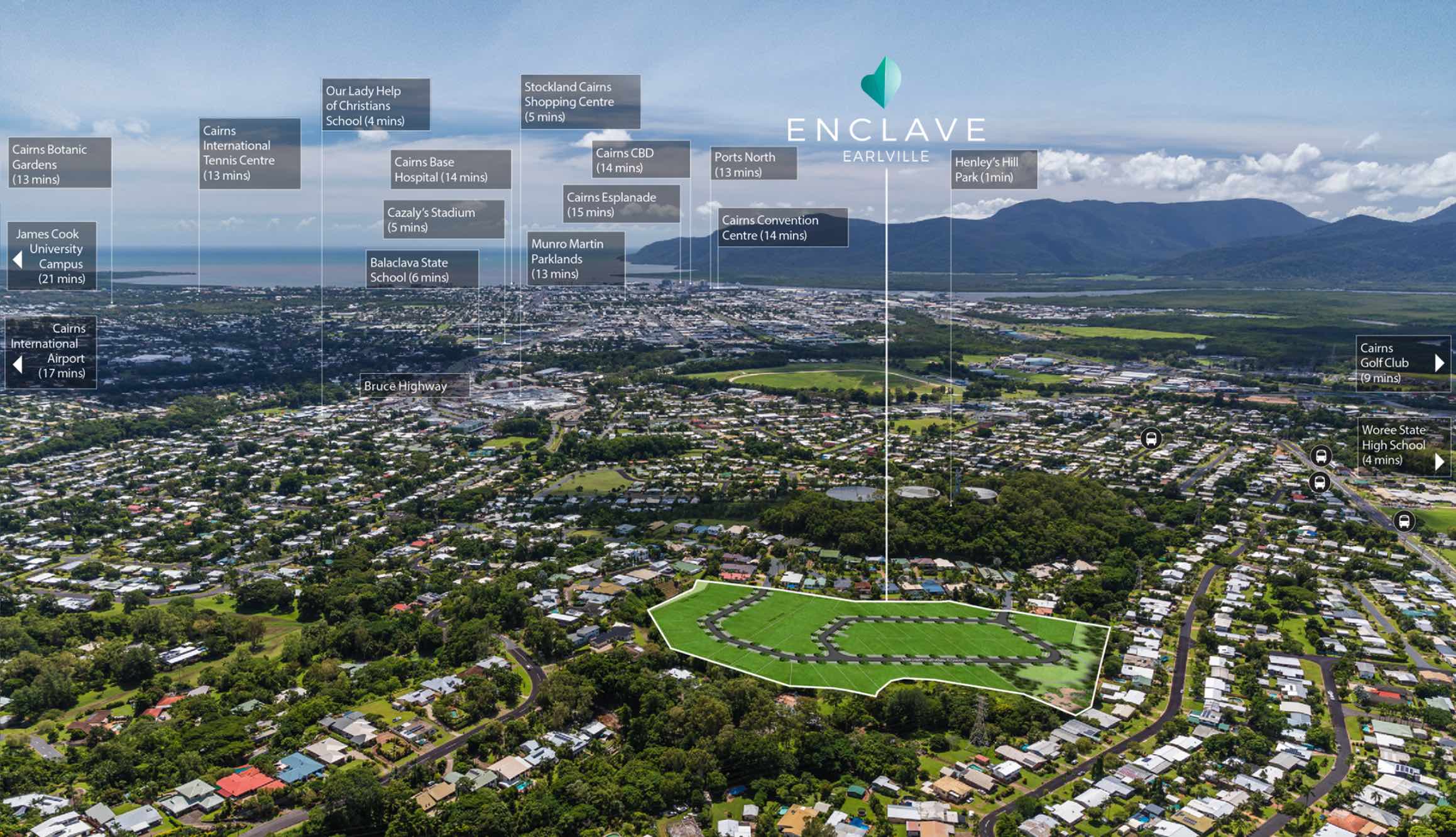
| Distance to |
Updates for Enclave Estate - Earlville
Land Price Trend in Earlville QLD 4870
Below shows the price trend from vacant land sales recorded in Earlville QLD 4870.
The data and information provided by Terralytics (Aust) Pty Ltd (Terralytics Data) is general in nature and is not intended to constitute professional advice. Read more
It should not be relied upon as a substitute for legal, financial, valuation, or other specialist advice relevant to your specific circumstances.
Terralytics uses commercially reasonable endeavours to ensure the Terralytics Data is current and accurate. However, as the Terralytics Data incorporates information sourced from third parties, Terralytics makes no representation or warranty — express or implied — as to its accuracy, completeness, or currency. To the maximum extent permitted by applicable law, Terralytics excludes all liability for any loss or damage (including consequential loss) arising out of or in connection with reliance on the Terralytics Data, whether arising in contract, tort (including negligence), statute, or otherwise.
Popular Estates near Enclave Estate - Earlville

Not exactly what you're looking for? Try surrounding suburbs
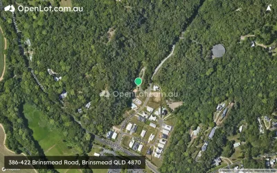
Brinsmead QLD 4870
1 estate | Cairns Regional Council
5.6km north-west
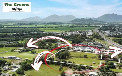
Mount Sheridan QLD 4868
1 estate | Cairns Regional Council
4.7km south
White Rock QLD 4868
1 estate | Cairns Regional Council
4.2km south-east
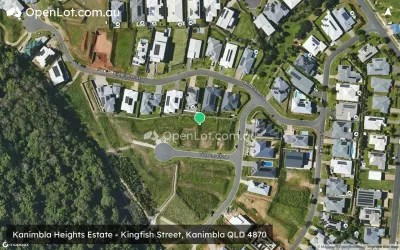
Kanimbla QLD 4870
2 estates | Cairns Regional Council
2.9km north
Manunda QLD 4870
1 estate | Cairns Regional Council
3.9km north-east
Woree QLD 4868
1 estate | Cairns Regional Council
2.1km south-east
Latest published articles


FAQs about Enclave Estate - Earlville
Urbex is the developer behind Enclave Estate - Earlville.
Enclave Estate - Earlville consists of 58 homes.
Enclave Estate - Earlville falls under Cairns Regional Council.
Enclave Estate - Earlville is 5 km south-west of Cairns CBD.
Nearby schools for Enclave Estate - Earlville:
- Woree State School - 1.2km south-east
- Cairns State Special School - 1.3km south-east
- Our Lady Help of Christians School - 1.3km north-east
- Woree State High School - 1.3km south-east
- St Gerard Majella Primary School - 1.8km south-east
- St Mary's Catholic College - 2.2km south-east