
Property types for sale
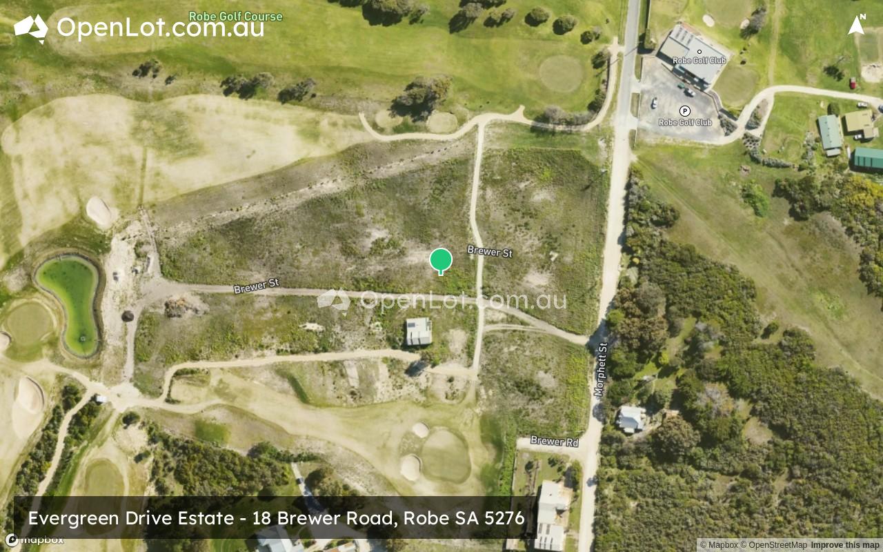
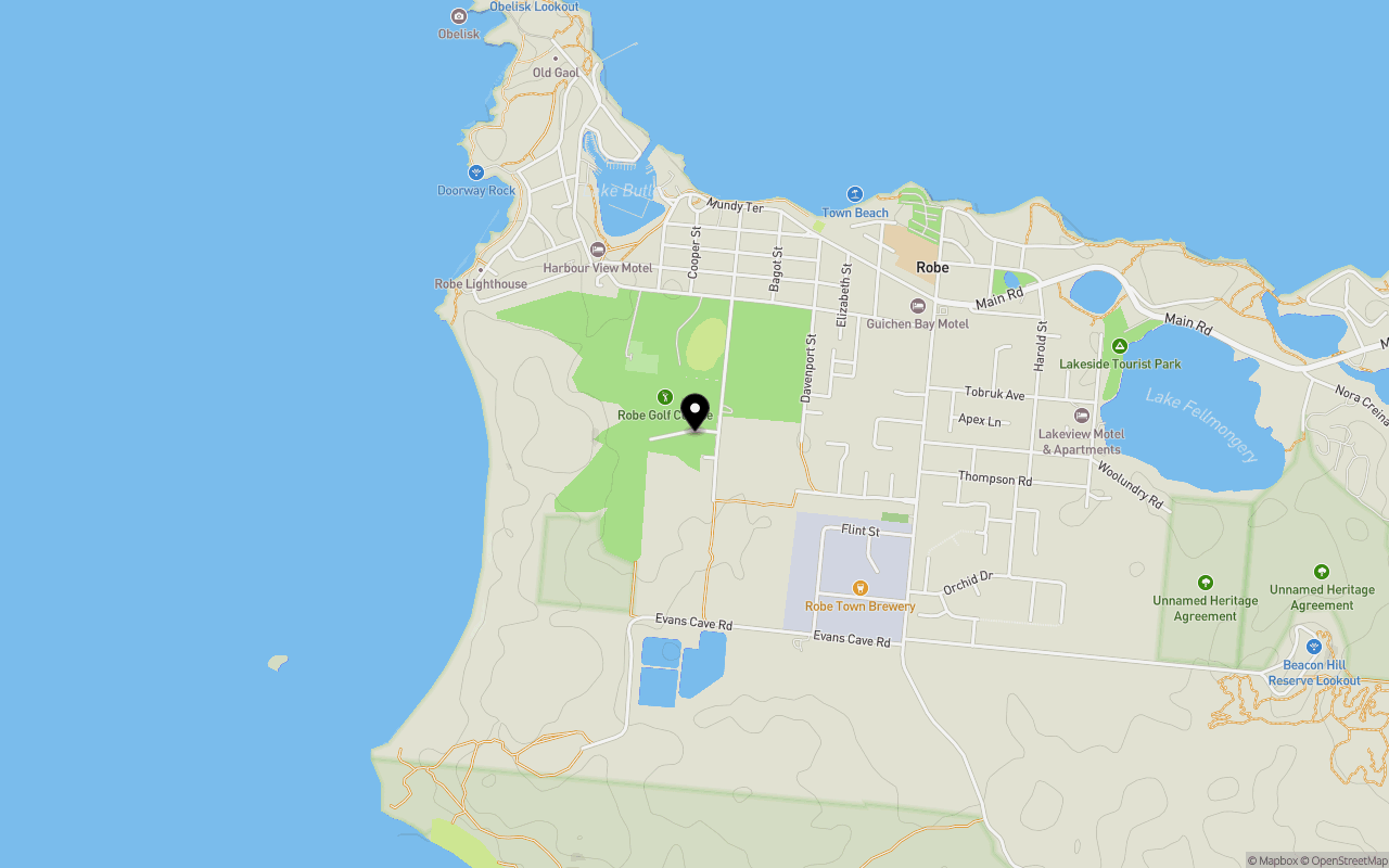
Location & Map for Evergreen Drive Estate - Robe
Schools near Evergreen Drive Estate - Robe
Evergreen Drive Robe Video
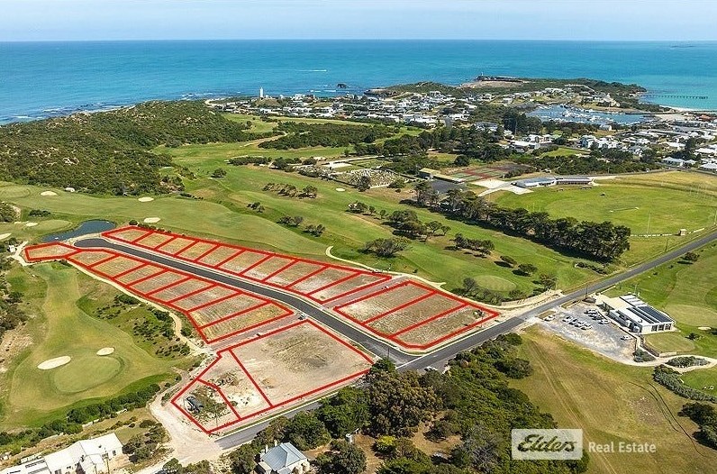
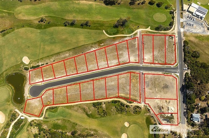
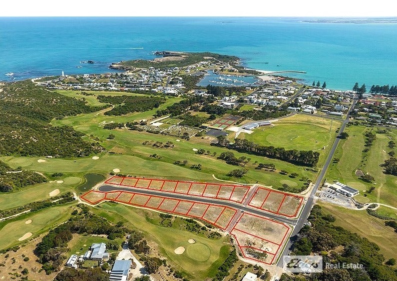
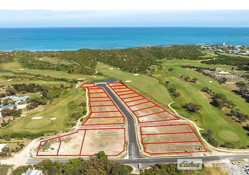
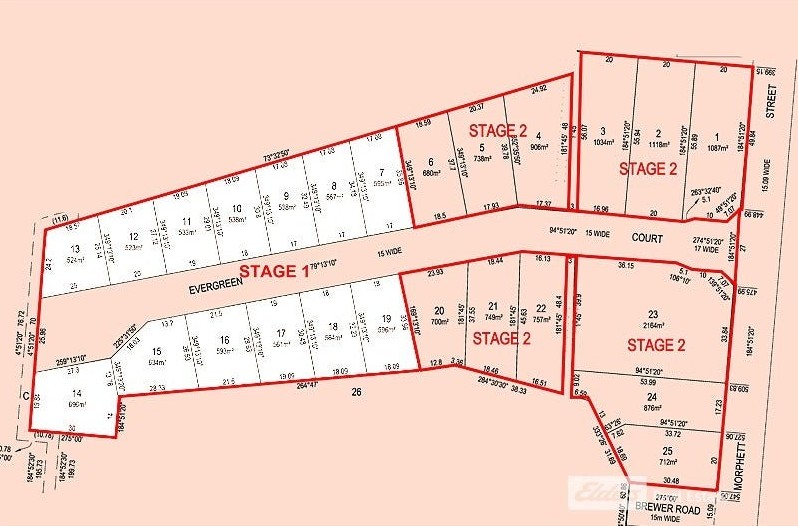
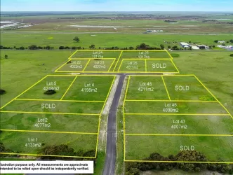
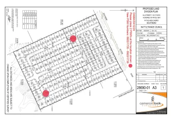
Overview
This information is estimated by the OpenLot research team. Let us know here to provide up-to-date information about this development.
| Total new homes | |
| Area Size | 2.30 hectares |
| City Council | District Council of Robe |
| Developer | N/A |
| Project Marketer | Elders Real Estate Robe |
Updates for Evergreen Drive Estate - Robe

Land Price Trend in Robe SA 5276
Below shows the price trend from vacant land sales recorded in Robe SA 5276.
The data and information provided by Terralytics (Aust) Pty Ltd (Terralytics Data) is general in nature and is not intended to constitute professional advice. Read more
It should not be relied upon as a substitute for legal, financial, valuation, or other specialist advice relevant to your specific circumstances.
Terralytics uses commercially reasonable endeavours to ensure the Terralytics Data is current and accurate. However, as the Terralytics Data incorporates information sourced from third parties, Terralytics makes no representation or warranty — express or implied — as to its accuracy, completeness, or currency. To the maximum extent permitted by applicable law, Terralytics excludes all liability for any loss or damage (including consequential loss) arising out of or in connection with reliance on the Terralytics Data, whether arising in contract, tort (including negligence), statute, or otherwise.
Popular Estates near Evergreen Drive Estate - Robe


Not exactly what you're looking for? Try surrounding suburbs
Kingston Se SA 5275
2 estates | Kingston District Council
40.4km north
Naracoorte SA 5271
4 estates | Naracoorte Lucindale Council
87.9km east
Southend SA 5280
1 estate | Wattle Range Council
51.0km south-east
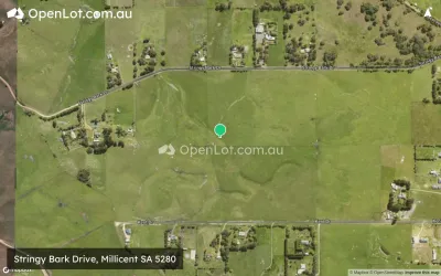
Millicent SA 5280
2 estates | Wattle Range Council
66.8km south-east
Cape Jaffa SA 5275
1 estate | Kingston District Council
28.0km north
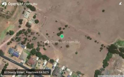
Rosetown SA 5275
1 estate | Kingston District Council
42.0km north
Latest published articles


FAQs about Evergreen Drive Estate - Robe
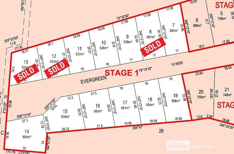
Evergreen Drive Estate - Robe consists of 25 homes.
The total area for Evergreen Drive Estate - Robe is 2.30 hectares.
Evergreen Drive Estate - Robe falls under District Council of Robe.
Elders Real Estate Robe is the project marketer for Evergreen Drive Estate - Robe.
Nearby schools for Evergreen Drive Estate - Robe:
- Robe Primary School - 1.0km north-east
- Kingston Community School - 38.2km north
- Beachport Primary School - 40.9km south-east
- Kangaroo Inn Area School - 47.3km south-east
- Lucindale Area School - 59.4km east
- Rendelsham Primary School - 59.5km south-east