
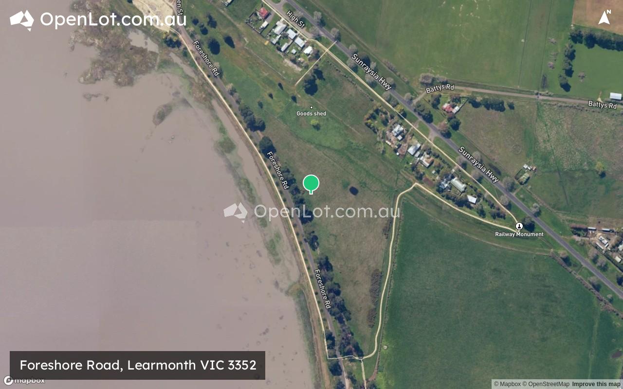
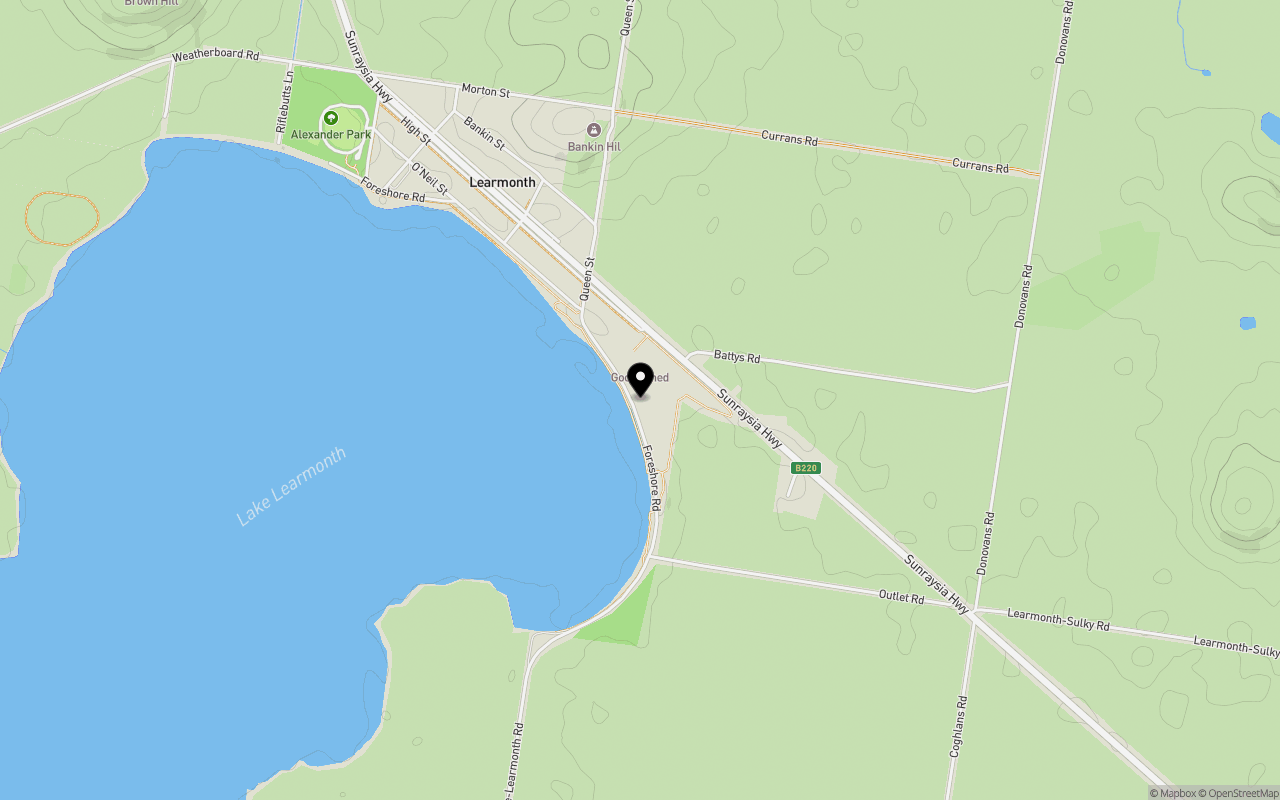
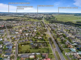
Location & Map for Foreshore Road, Learmonth VIC 3352
Schools near Foreshore Road, Learmonth VIC 3352
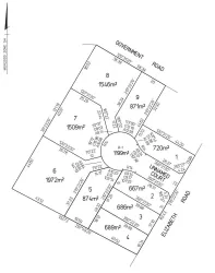
Overview
This information is estimated by the OpenLot research team. Let us know here to provide up-to-date information about this development.
| Total new homes | |
| Area Size | 3.00 hectares |
| Growth Region | City of Ballarat Growth Areas |
| City Council | Ballarat City Council |
| Developer | N/A |
| Distance to |
Popular Estates near Foreshore Road, Learmonth

Not exactly what you're looking for? Try surrounding suburbs
Lucas VIC 3350
2 estates | Ballarat City Council
15.3km south-east
Cardigan VIC 3352
6 estates | Ballarat City Council
12.4km south
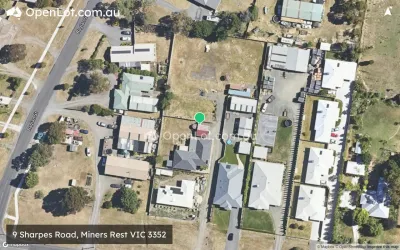
Miners Rest VIC 3352
5 estates | Ballarat City Council
11.2km south-east
Creswick VIC 3363
2 estates | Hepburn Shire Council
13.9km east
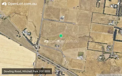
Mitchell Park VIC 3355
1 estate | Ballarat City Council
11.3km south-east
Mount Rowan VIC 3352
1 estate | Ballarat City Council
14.8km south-east
Latest published articles


FAQs about Foreshore Road, Learmonth VIC 3352
Foreshore Road, Learmonth VIC 3352 consists of 15 homes.
The total area for Foreshore Road, Learmonth VIC 3352 is 3.00 hectares.
Foreshore Road, Learmonth VIC 3352 falls under Ballarat City Council.
Foreshore Road, Learmonth VIC 3352 is 18 km north-west of Ballarat CBD.
Nearby schools for Foreshore Road, Learmonth VIC 3352:
- Mount Blowhard Primary School - 5.5km east
- Miners Rest Primary School - 8.1km south-east
- Waubra Primary School - 11.5km north-west
- Yuille Park Community College - 13.7km south-east
- Siena Catholic Primary School - 13.7km south
- Our Lady Help of Christians School - 13.8km south-east