
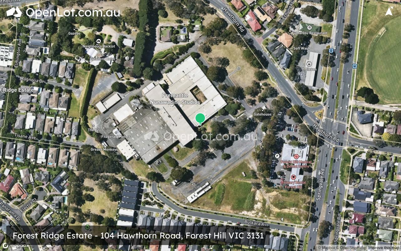
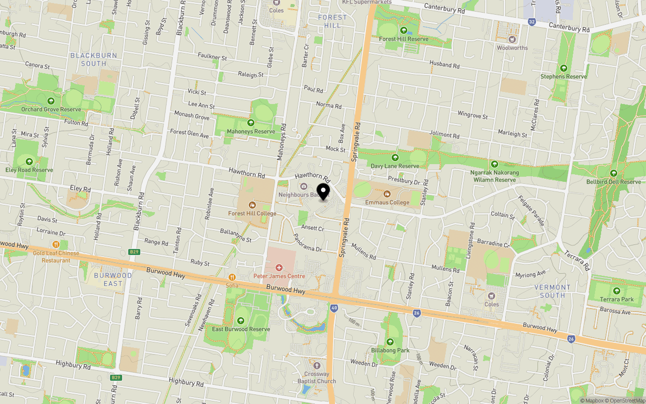
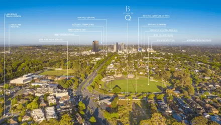
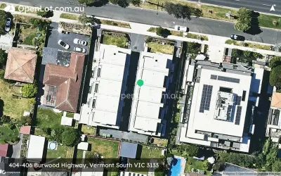
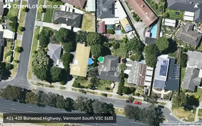
Location & Map for Forest Ridge Estate - Forest Hill
Schools near Forest Ridge Estate - Forest Hill
Forest Ridge Forest Hill Video
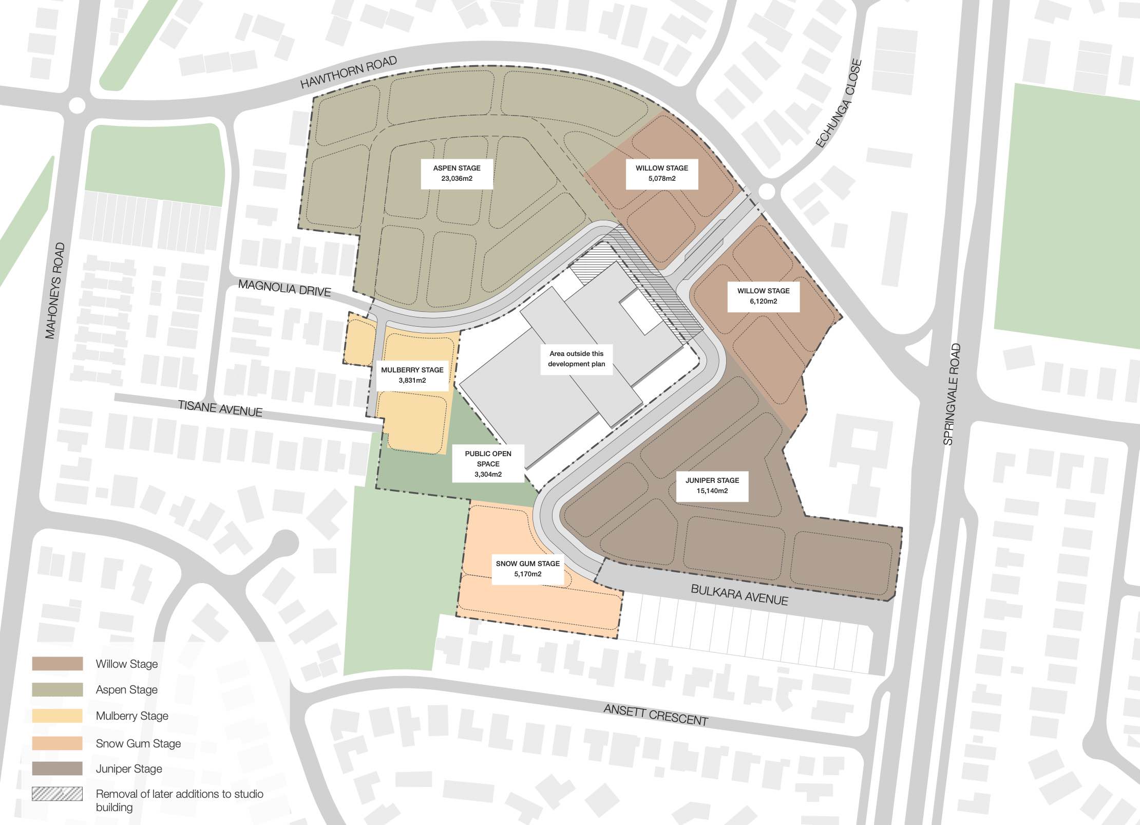
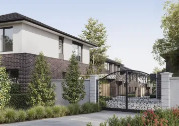
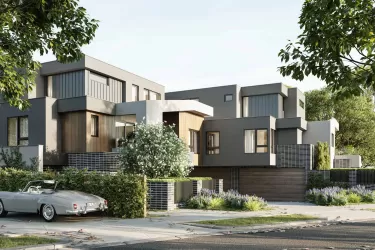
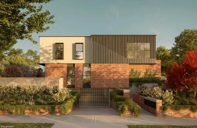
Overview
This information is estimated by the OpenLot research team. Let us know here to provide up-to-date information about this development.
| Total new homes | |
| Area Size | 9.00 hectares |
| Growth Region | Melbourne East |
| City Council | Whitehorse City Council |
| Developer | N/A |
| Other Names | Former ATV-0 Television Studios |
| Distance to |
Updates for Forest Ridge Estate - Forest Hill


Popular Estates near Forest Ridge Estate - Forest Hill
Not exactly what you're looking for? Try surrounding suburbs
Vermont VIC 3133
3 estates | Whitehorse City Council
2.5km east
Vermont South VIC 3133
4 estates | Whitehorse City Council
2.3km south-east
Burwood East VIC 3151
2 estates | Whitehorse City Council
2.3km south-west
Blackburn VIC 3130
9 estates | Whitehorse City Council
2.8km north-west
Mitcham VIC 3132
2 estates | Whitehorse City Council
3.7km north-east
Nunawading VIC 3131
2 estates | Whitehorse City Council
2.8km north
Latest published articles


FAQs about Forest Ridge Estate - Forest Hill
The total area for Forest Ridge Estate - Forest Hill is 9.00 hectares.
Forest Ridge Estate - Forest Hill falls under Whitehorse City Council.
Forest Ridge Estate - Forest Hill is 18 km east of Melbourne CBD.
Nearby schools for Forest Ridge Estate - Forest Hill:
- Forest Hill College - 393m west
- Burwood Heights Primary School - 434m west
- Emmaus College - 542m east
- Parkmore Primary School - 840m north-east
- Vermont South Special School - 1.1km east
- Livingstone Primary School - 1.2km south-east