
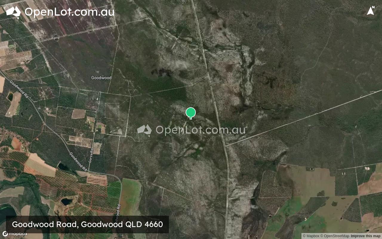
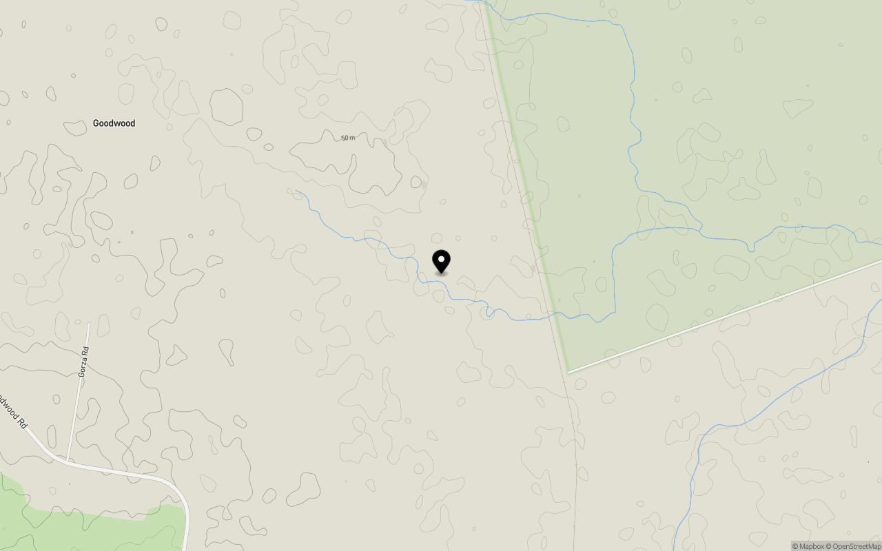
Location & Map for Goodwood Road, Goodwood QLD 4660
Schools near Goodwood Road, Goodwood QLD 4660
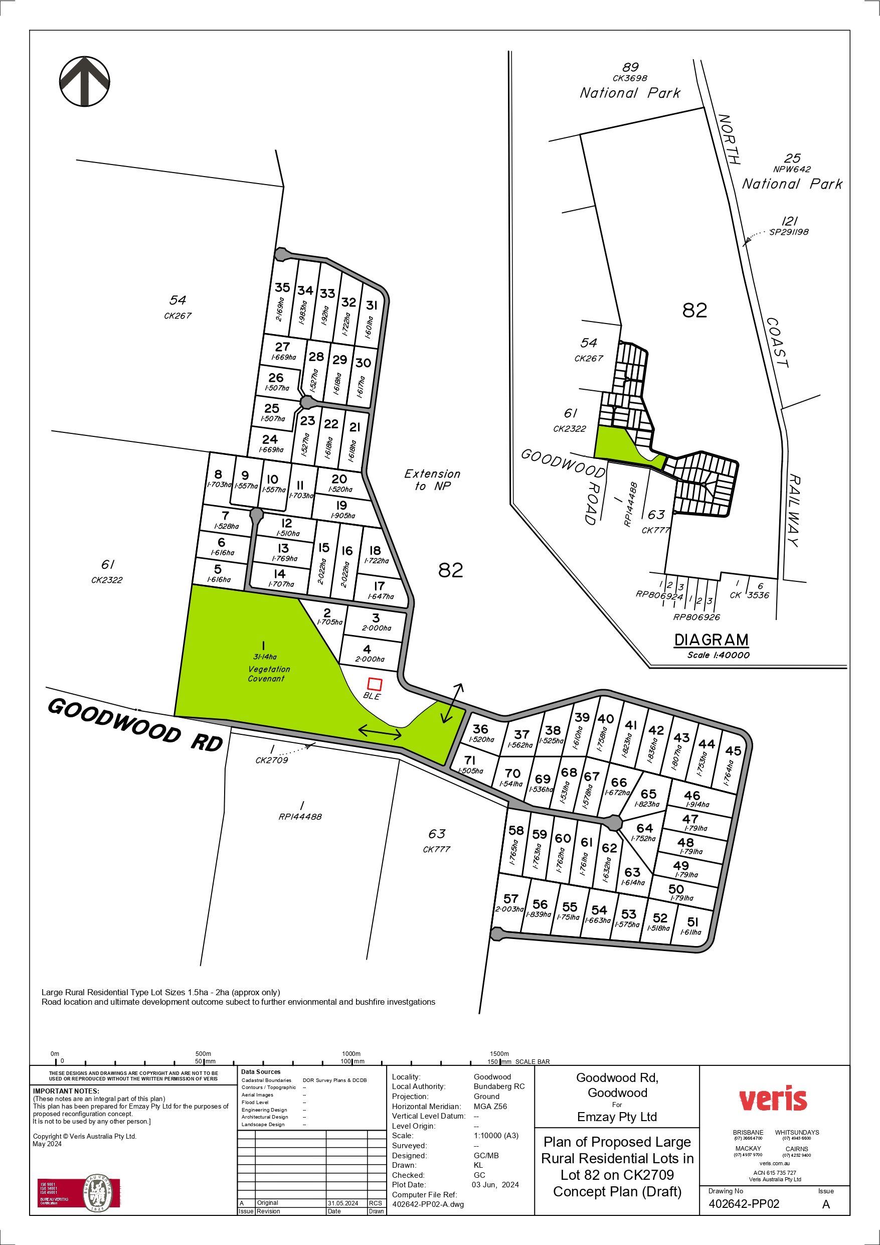
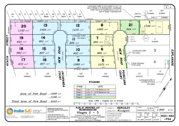
Overview
This information is estimated by the OpenLot research team. Let us know here to provide up-to-date information about this development.
| Total new homes | |
| Area Size | 1,137.00 hectares |
| Growth Region | Hervey Bay (Wide Bay–Burnett Region) |
| City Council | Bundaberg Regional Council |
| Developer | N/A |
Updates for Goodwood Road, Goodwood
Popular Estates near Goodwood Road, Goodwood


Not exactly what you're looking for? Try surrounding suburbs
North Isis QLD 4660
1 estate | Bundaberg Regional Council
15.3km south-west
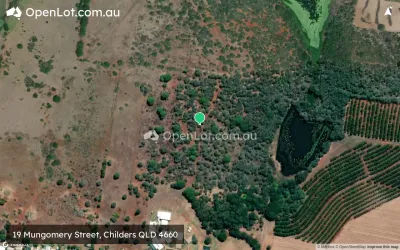
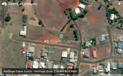
Childers QLD 4660
3 estates | Bundaberg Regional Council
20.0km south-west
Woodgate QLD 4660
4 estates | Bundaberg Regional Council
13.2km east
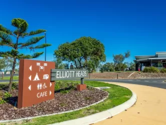
Elliott Heads QLD 4670
3 estates | Bundaberg Regional Council
21.6km north
Redridge QLD 4660
1 estate | Bundaberg Regional Council
8.9km south
Apple Tree Creek QLD 4660
1 estate | Bundaberg Regional Council
22.1km south-west
Latest published articles


FAQs about Goodwood Road, Goodwood QLD 4660
Goodwood Road, Goodwood QLD 4660 consists of 56 homes.
The total area for Goodwood Road, Goodwood QLD 4660 is 1,137.00 hectares.
Goodwood Road, Goodwood QLD 4660 falls under Bundaberg Regional Council.
Nearby schools for Goodwood Road, Goodwood QLD 4660:
- Goodwood State School - 4.1km south-west
- Burnett Youth Learning Centre - 12.0km north
- Childers State School - 18.1km south-west
- Alloway State School - 18.1km north
- St Joseph's School - 18.4km south-west
- Isis District State High School - 18.7km south-west