
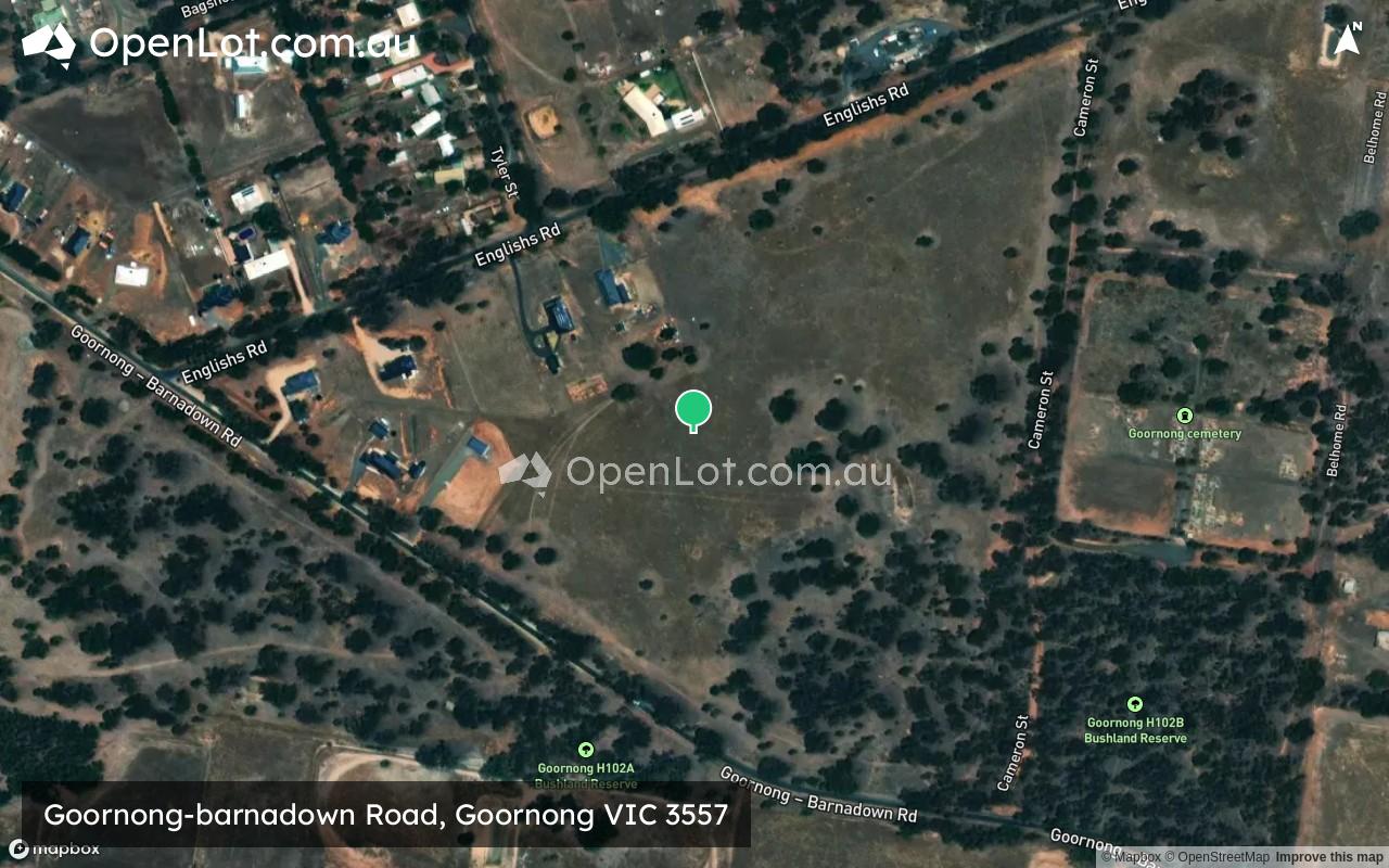
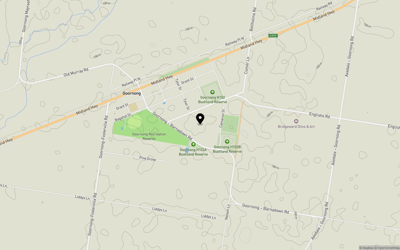
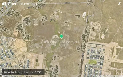
Location & Map for Goornong-barnadown Road, Goornong VIC 3557
Schools near Goornong-barnadown Road, Goornong VIC 3557
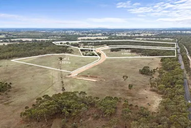
Overview
This information is estimated by the OpenLot research team. Let us know here to provide up-to-date information about this development.
| Total new homes | |
| Area Size | 9.00 hectares |
| Growth Region | Greater Bendigo Growth Areas |
| City Council | City of Greater Bendigo |
| Developer | N/A |
| Distance to |
Popular Estates near Goornong-barnadown Road, Goornong

Not exactly what you're looking for? Try surrounding suburbs
White Hills VIC 3550
2 estates | City of Greater Bendigo
19.1km south-west
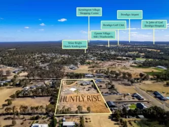
Huntly VIC 3551
9 estates | City of Greater Bendigo
13.6km west
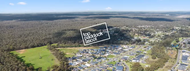
Ascot VIC 3551
1 estate | City of Greater Bendigo
16.0km south-west
Epsom VIC 3551
7 estates | City of Greater Bendigo
16.8km south-west
Bagshot VIC 3551
0 estates
8.5km south-west
Axedale VIC 3551
1 estate | City of Greater Bendigo
17.4km south
Latest published articles


FAQs about Goornong-barnadown Road, Goornong VIC 3557
Goornong-barnadown Road, Goornong VIC 3557 consists of 27 homes.
The total area for Goornong-barnadown Road, Goornong VIC 3557 is 9.00 hectares.
Goornong-barnadown Road, Goornong VIC 3557 falls under City of Greater Bendigo.
Goornong-barnadown Road, Goornong VIC 3557 is 26 km north-east of Bendigo CBD.
Nearby schools for Goornong-barnadown Road, Goornong VIC 3557:
- Goornong Primary School - 855m west
- Elmore Primary School - 15.9km north-east
- Our Lady of the Sacred Heart Primary - 16.7km north-east
- Huntly Primary School - 16.8km west
- Axedale Primary School - 18.6km south
- Epsom Primary School - 20.4km south-west