
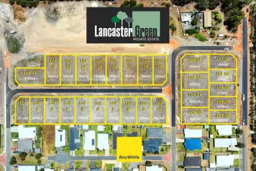
Property types for sale
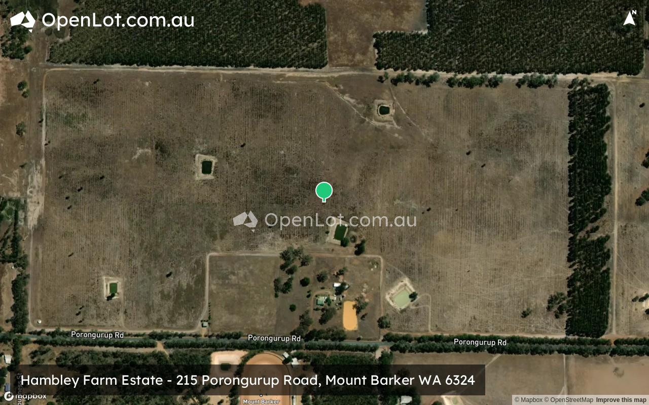
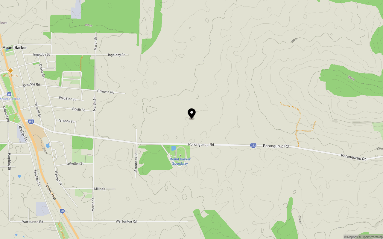
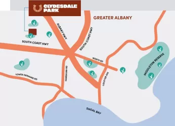
Location & Map for Hambley Farm Estate - Mount Barker
Schools near Hambley Farm Estate - Mount Barker
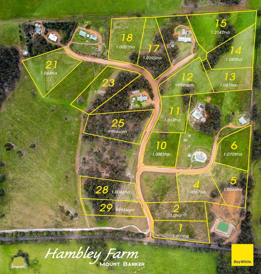
Overview
This information is estimated by the OpenLot research team. Let us know here to provide up-to-date information about this development.
| Total new homes | |
| Area Size | 64.80 hectares |
| City Council | Shire of Plantagenet |
| Developer | N/A |
| Project Marketer | Ray White Albany |
Updates for Hambley Farm Estate - Mount Barker

Popular Estates near Hambley Farm Estate - Mount Barker

Not exactly what you're looking for? Try surrounding suburbs
Milpara WA 6330
1 estate | City of Albany
44.5km south-east
McKail WA 6330
2 estates | City of Albany
42.8km south
Hay WA 6333
1 estate | Shire of Denmark
41.3km south-west
Gledhow WA 6330
1 estate | City of Albany
45.2km south
Drome WA 6330
1 estate | City of Albany
36.1km south
Orana WA 6330
1 estate | City of Albany
44.9km south-east
Latest published articles


FAQs about Hambley Farm Estate - Mount Barker
Hambley Farm Estate - Mount Barker consists of 11 homes.
The total area for Hambley Farm Estate - Mount Barker is 64.80 hectares.
Hambley Farm Estate - Mount Barker falls under Shire of Plantagenet.
Ray White Albany is the project marketer for Hambley Farm Estate - Mount Barker.
Nearby schools for Hambley Farm Estate - Mount Barker:
- Mount Barker Community College - 3.1km north-west
- Kendenup Primary School - 17.7km north
- Cranbrook Primary School - 39.6km north
- North Albany Senior High School - 43.1km south
- Albany Secondary Education Support Centre - 43.1km south
- South Stirling Primary School - 43.3km east