
Property types for sale
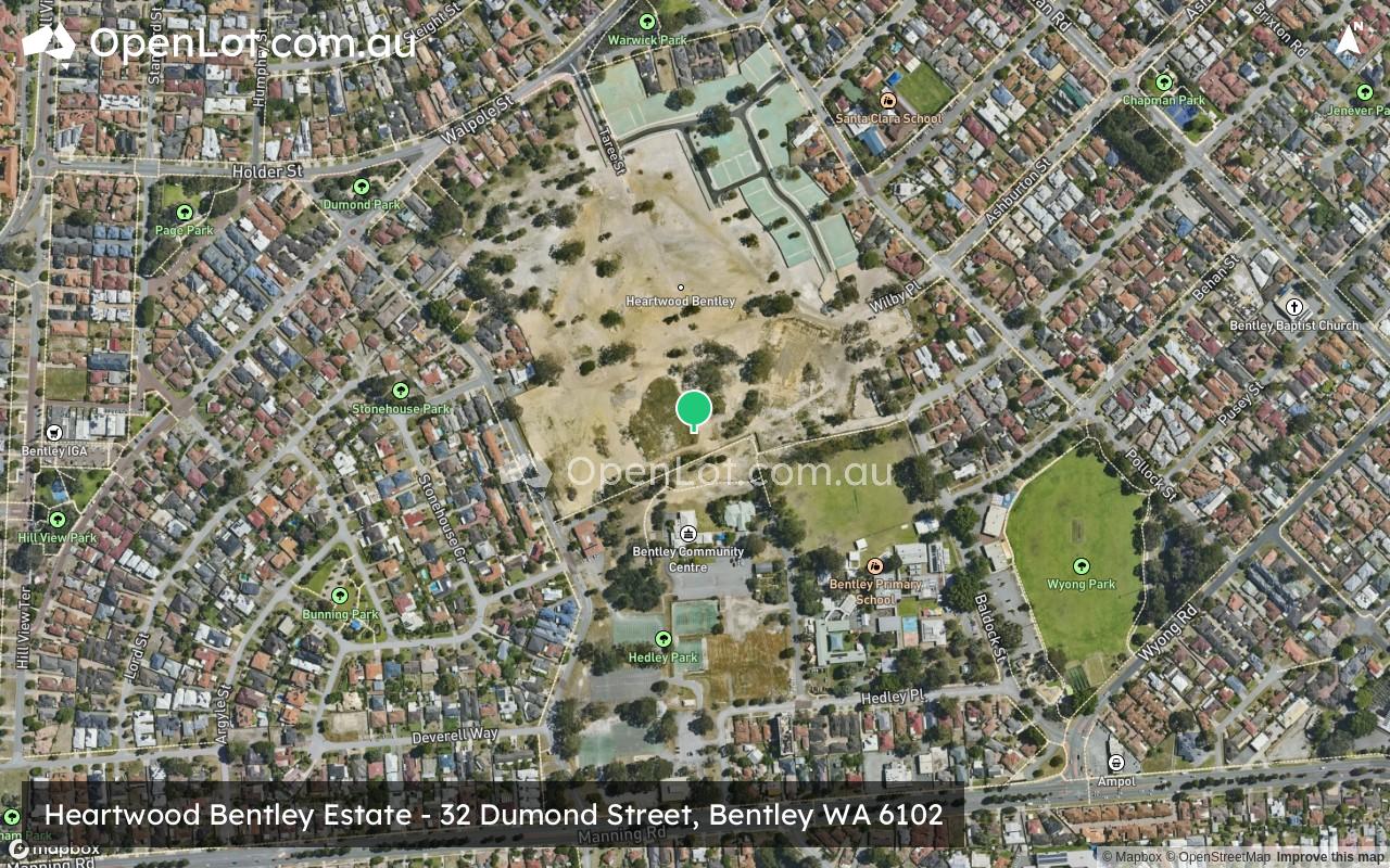
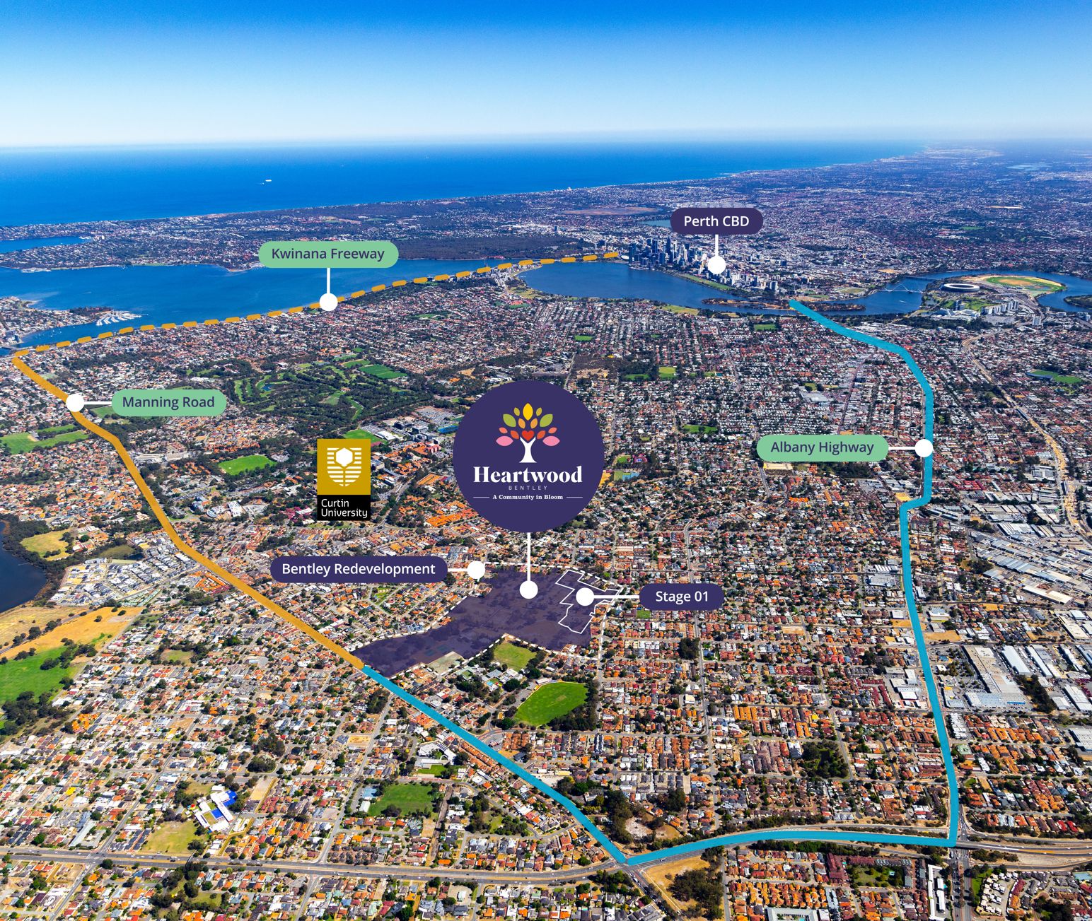
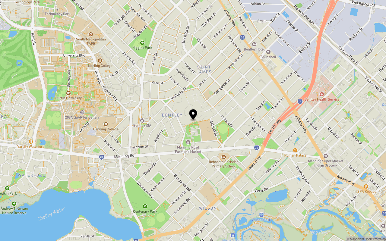
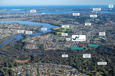
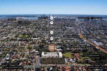
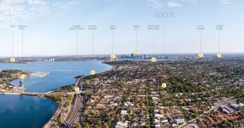
Location & Map for Heartwood Bentley Estate - Bentley
Schools near Heartwood Bentley Estate - Bentley
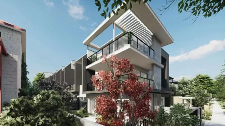
Overview
This information is estimated by the OpenLot research team. Let us know here to provide up-to-date information about this development.
| Total new homes | |
| Area Size | 31.00 hectares |
| Growth Region | Perth South East Growth Areas |
| City Council | City of Canning |
| Developer | DevelopmentWA |
Updates for Heartwood Bentley Estate - Bentley


Popular Estates near Heartwood Bentley Estate - Bentley


Not exactly what you're looking for? Try surrounding suburbs
Como WA 6152
5 estates | City of South Perth
3.8km west
Ferndale WA 6148
2 estates | City of Canning
2.9km south-east
Waterford WA 6152
2 estates | City of South Perth
2.2km west
East Victoria Park WA 6101
2 estates | Town of Victoria Park
2.2km north
Kensington WA 6151
1 estate | City of South Perth
3.5km north-west
Wilson WA 6107
1 estate | City of Canning
1.2km south-east
Latest published articles


FAQs about Heartwood Bentley Estate - Bentley
DevelopmentWA is the developer behind Heartwood Bentley Estate - Bentley.
Heartwood Bentley Estate - Bentley consists of 1,000 homes.
The total area for Heartwood Bentley Estate - Bentley is 31.00 hectares.
Heartwood Bentley Estate - Bentley falls under City of Canning.
Nearby schools for Heartwood Bentley Estate - Bentley:
- Al-Hidayah Islamic School - 287m south-east
- Bentley Primary School - 307m south-east
- Santa Clara School - 404m north-east
- Wilson Primary School - 956m south
- Canning College - 1.2km west
- Clontarf Aboriginal College - 1.3km south-west