
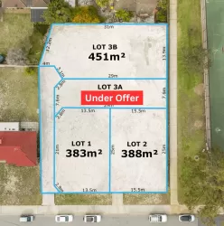
Property types for sale
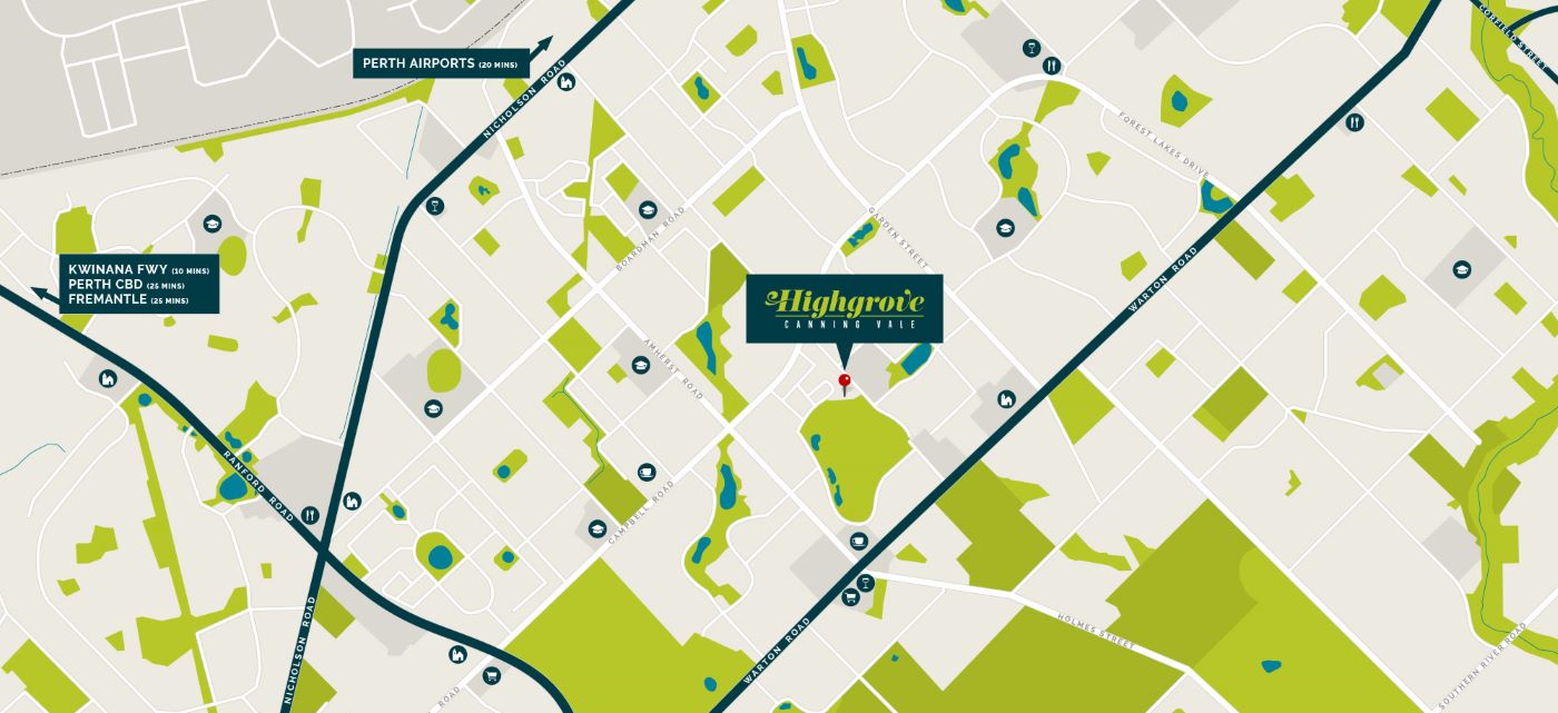
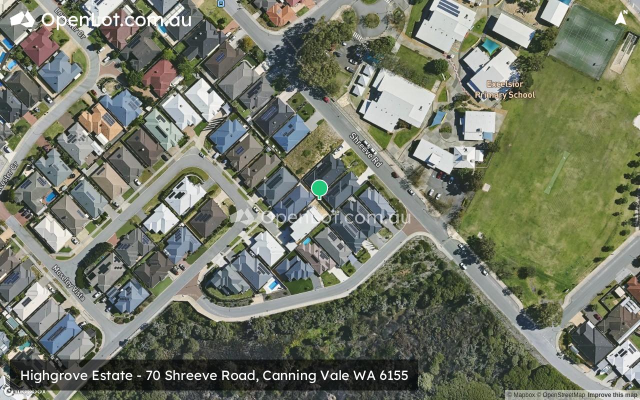
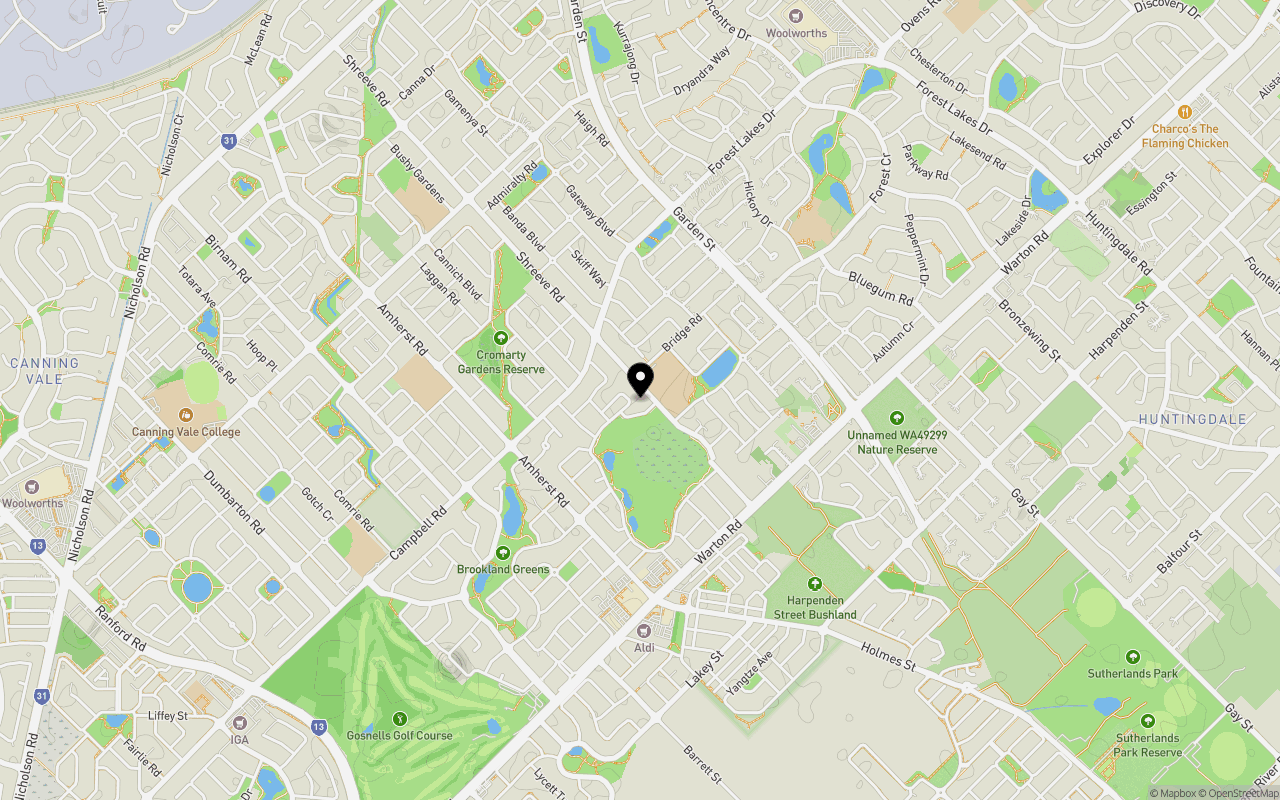
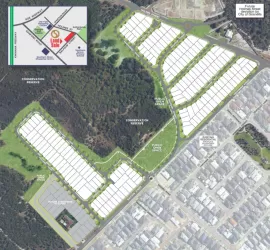
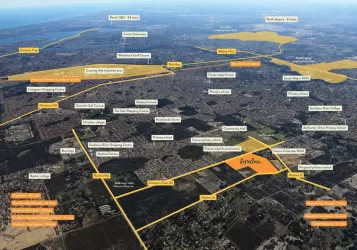
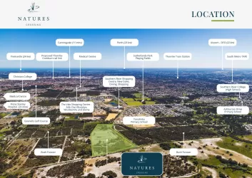
Location & Map for Highgrove Estate - Canning Vale
Schools near Highgrove Estate - Canning Vale
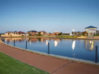
Overview
This information is estimated by the OpenLot research team. Let us know here to provide up-to-date information about this development.
| Total new homes | |
| Area Size | N/A |
| Growth Region | Perth South East Growth Areas |
| City Council | City of Canning |
| Developer | N/A |
| Creative Agency | Axiom Design Partners |
Updates for Highgrove Estate - Canning Vale


Popular Estates near Highgrove Estate - Canning Vale

Not exactly what you're looking for? Try surrounding suburbs
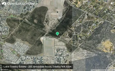
Treeby WA 6164
2 estates | City of Cockburn
4.7km south-west
Southern River WA 6110
15 estates | City of Gosnells
4.6km south-east
Harrisdale WA 6112
3 estates | City of Armadale
3.9km south
Jandakot WA 6164
1 estate | City of Cockburn
4.6km south-west
Parkwood WA 6147
1 estate | City of Canning
4.3km north
Huntingdale WA 6110
1 estate | City of Gosnells
5.0km east
Latest published articles


FAQs about Highgrove Estate - Canning Vale
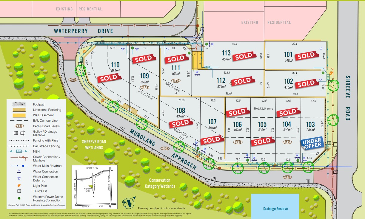
Highgrove Estate - Canning Vale consists of 13 homes.
Highgrove Estate - Canning Vale falls under City of Canning.
Nearby schools for Highgrove Estate - Canning Vale:
- Excelsior Primary School - 106m north
- St Emilie's Catholic Primary School - 853m west
- Forest Crescent Primary School - 914m north-east
- Caladenia Primary School - 1.2km north-west
- Campbell Primary School - 1.3km south-west
- Providence Christian College - 1.9km south