
Property types for sale
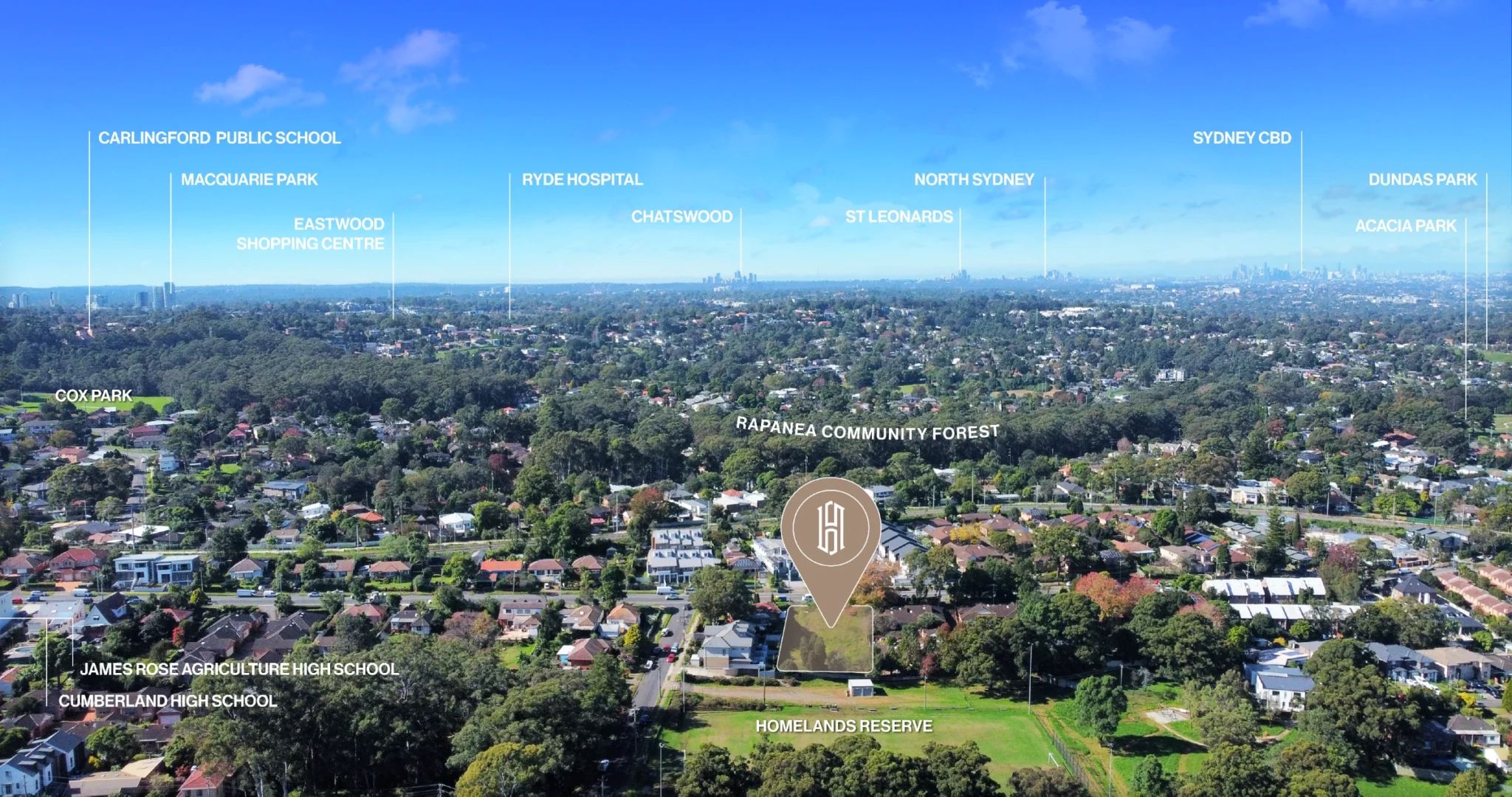
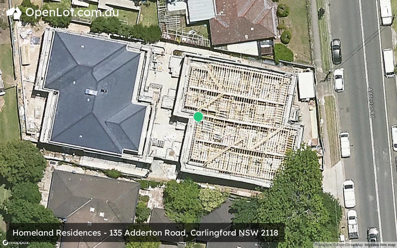
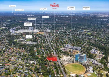
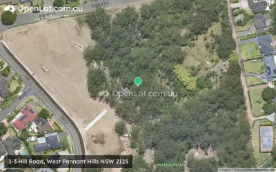
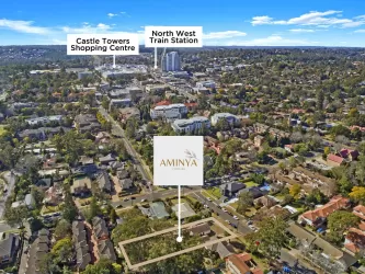
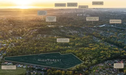
Location & Map for Homeland Residences - Carlingford
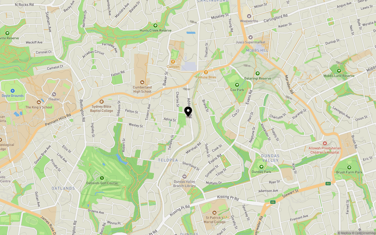
Schools near Homeland Residences - Carlingford
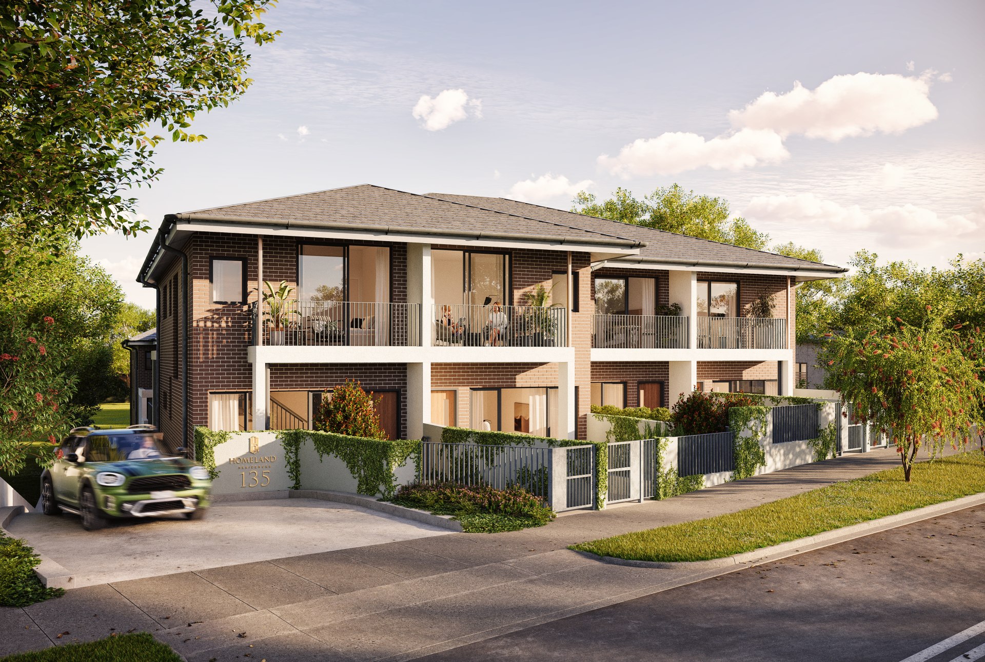
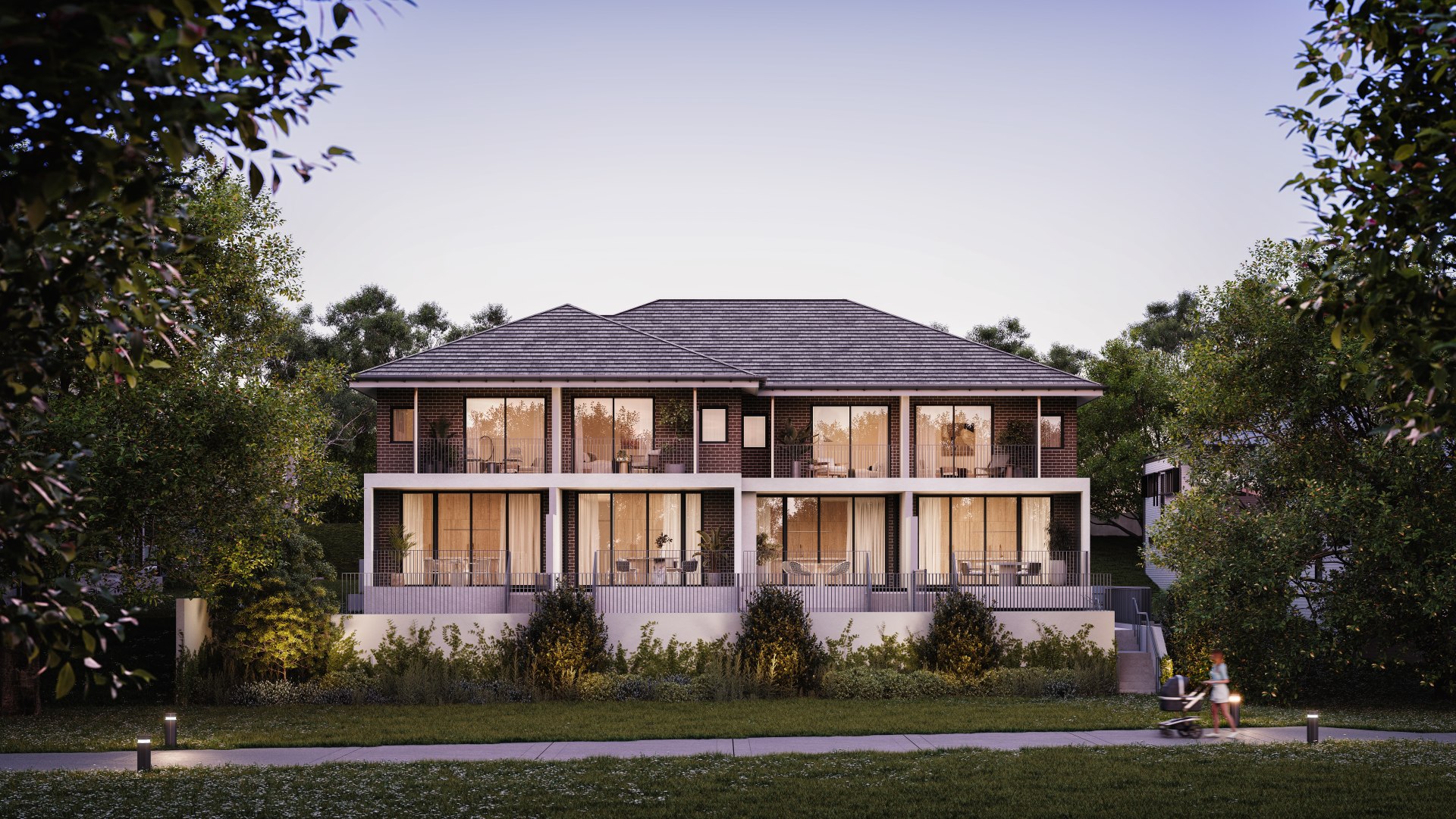
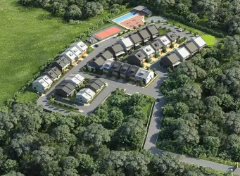
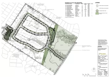
Overview
This information is estimated by the OpenLot research team. Let us know here to provide up-to-date information about this development.
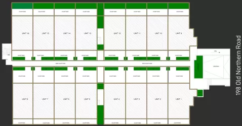
| Total new homes | |
| Area Size | 0.16 hectares |
| Growth Region | Sydney North West Growth Areas |
| City Council | City of Parramatta Council |
| Developer | UFN |
| Distance to |
Updates for Homeland Residences - Carlingford


Popular Estates near Homeland Residences - Carlingford


Not exactly what you're looking for? Try surrounding suburbs
West Ryde NSW 2114
1 estate | Ryde City Council
5.3km south-east
Castle Hill NSW 2154
8 estates | Hornsby Shire Council, The Hills Shire Council
7.2km north-west
Eastwood NSW 2122
1 estate | Ryde City Council
4.0km east
Wentworthville NSW 2145
1 estate | Cumberland City Council
7.2km south-west
West Pennant Hills NSW 2125
4 estates | The Hills Shire Council
3.7km north-west
Dundas NSW 2117
1 estate | City of Parramatta Council
3.1km south
Latest published articles


FAQs about Homeland Residences - Carlingford
UFN is the developer behind Homeland Residences - Carlingford.
Homeland Residences - Carlingford consists of 8 homes.
The total area for Homeland Residences - Carlingford is 0.16 hectares.
Homeland Residences - Carlingford falls under City of Parramatta Council.
Homeland Residences - Carlingford is 16 km north-west of Sydney CBD.
Nearby schools for Homeland Residences - Carlingford:
- St Bernadette's Primary School - 661m east
- Cumberland High School - 756m north-west
- James Ruse Agricultural High School - 904m north
- Telopea Public School - 923m south
- Carlingford West Public School - 941m north-west
- OneSchool Global NSW - Sydney - 1.1km west