
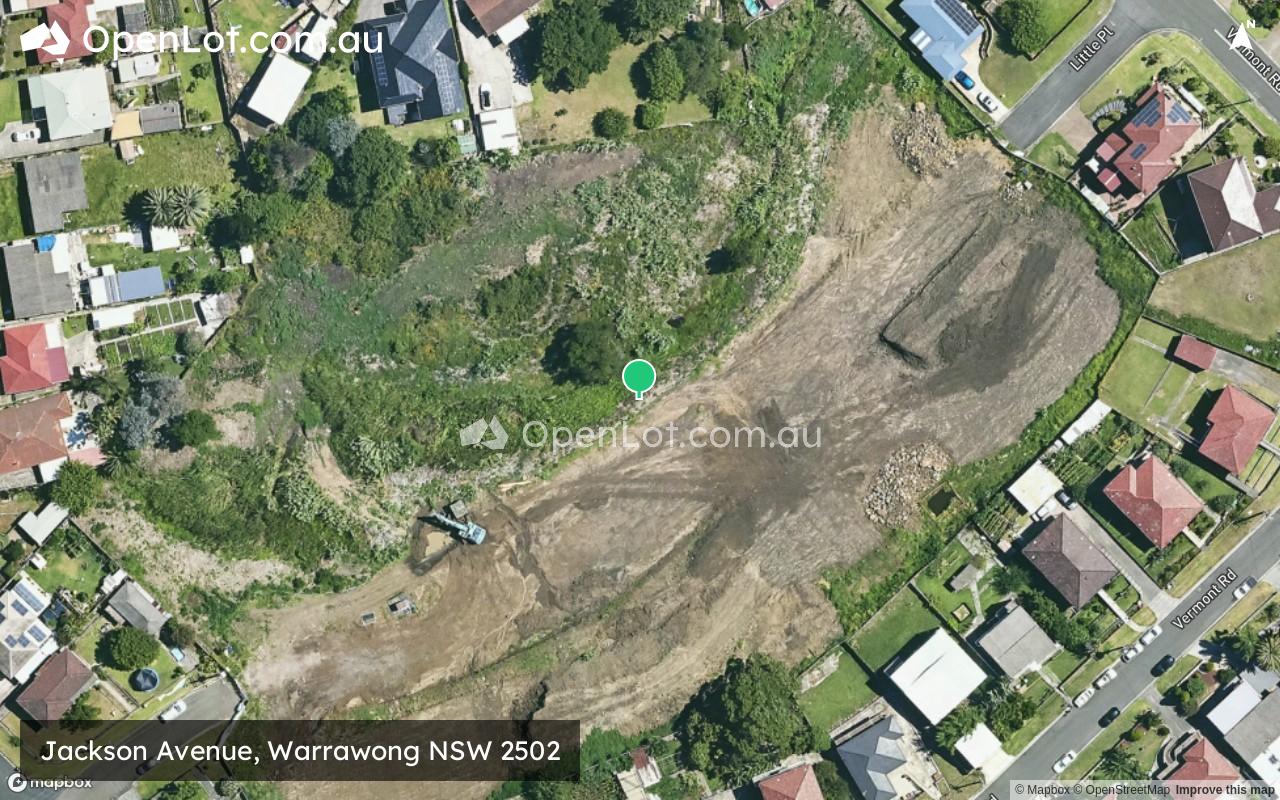
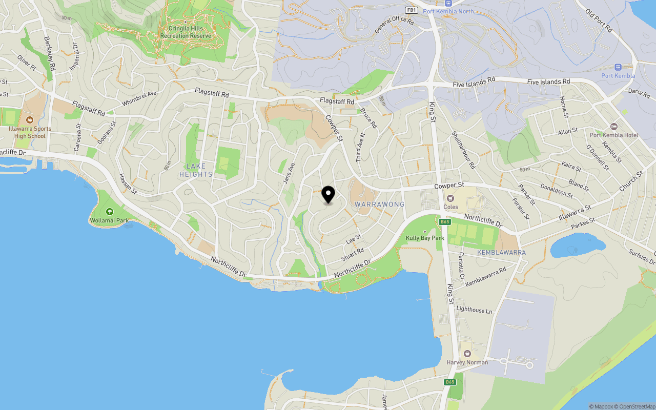
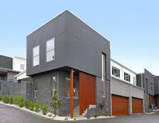
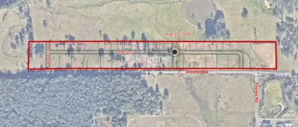
Location & Map for Jackson Avenue, Warrawong NSW 2502
Schools near Jackson Avenue, Warrawong NSW 2502
Overview
This information is estimated by the OpenLot research team. Let us know here to provide up-to-date information about this development.
| Total new homes | |
| Area Size | 1.91 hectares |
| Growth Region | Wollongong (Illawarra-Shoalhaven Region) |
| City Council | Wollongong City Council |
| Developer | N/A |
| Distance to |
Updates for Jackson Avenue, Warrawong
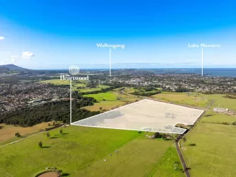
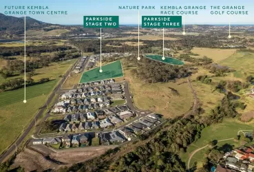
Popular Estates near Jackson Avenue, Warrawong
Not exactly what you're looking for? Try surrounding suburbs
Kembla Grange NSW 2526
4 estates | Wollongong City Council
8.5km west
Cleveland NSW 2530
1 estate | Wollongong City Council
10.7km west
West Wollongong NSW 2500
1 estate | Wollongong City Council
6.8km north
Cordeaux Heights NSW 2526
1 estate | Wollongong City Council
6.9km north-west
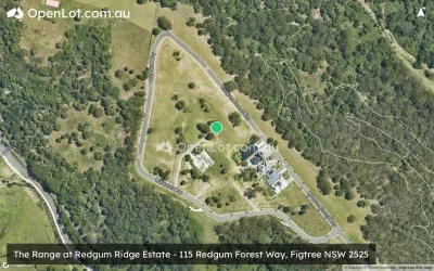
Figtree NSW 2525
1 estate | Wollongong City Council
6.5km north-west
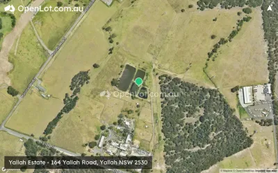
Yallah NSW 2530
1 estate | Wollongong City Council
10.4km south-west
Latest published articles


FAQs about Jackson Avenue, Warrawong NSW 2502
Jackson Avenue, Warrawong NSW 2502 consists of 17 homes.
The total area for Jackson Avenue, Warrawong NSW 2502 is 1.91 hectares.
Jackson Avenue, Warrawong NSW 2502 falls under Wollongong City Council.
Jackson Avenue, Warrawong NSW 2502 is 7 km south of Wollongong CBD.
Nearby schools for Jackson Avenue, Warrawong NSW 2502:
- Warrawong Public School - 596m north
- Warrawong High School - 782m north
- St Francis of Assisi Catholic Primary School - 794m north
- Lake Heights Public School - 992m west
- Kemblawarra Public School - 1.4km east
- Primbee Public School - 1.7km south