
Property types for sale
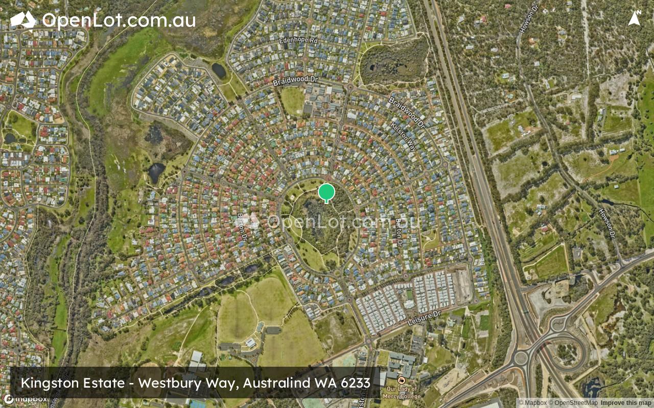
Location & Map for Kingston Estate - Australind
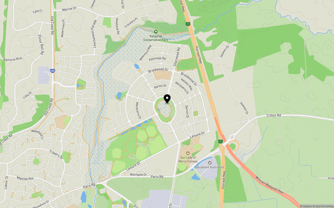
Schools near Kingston Estate - Australind
Kingston Australind Video
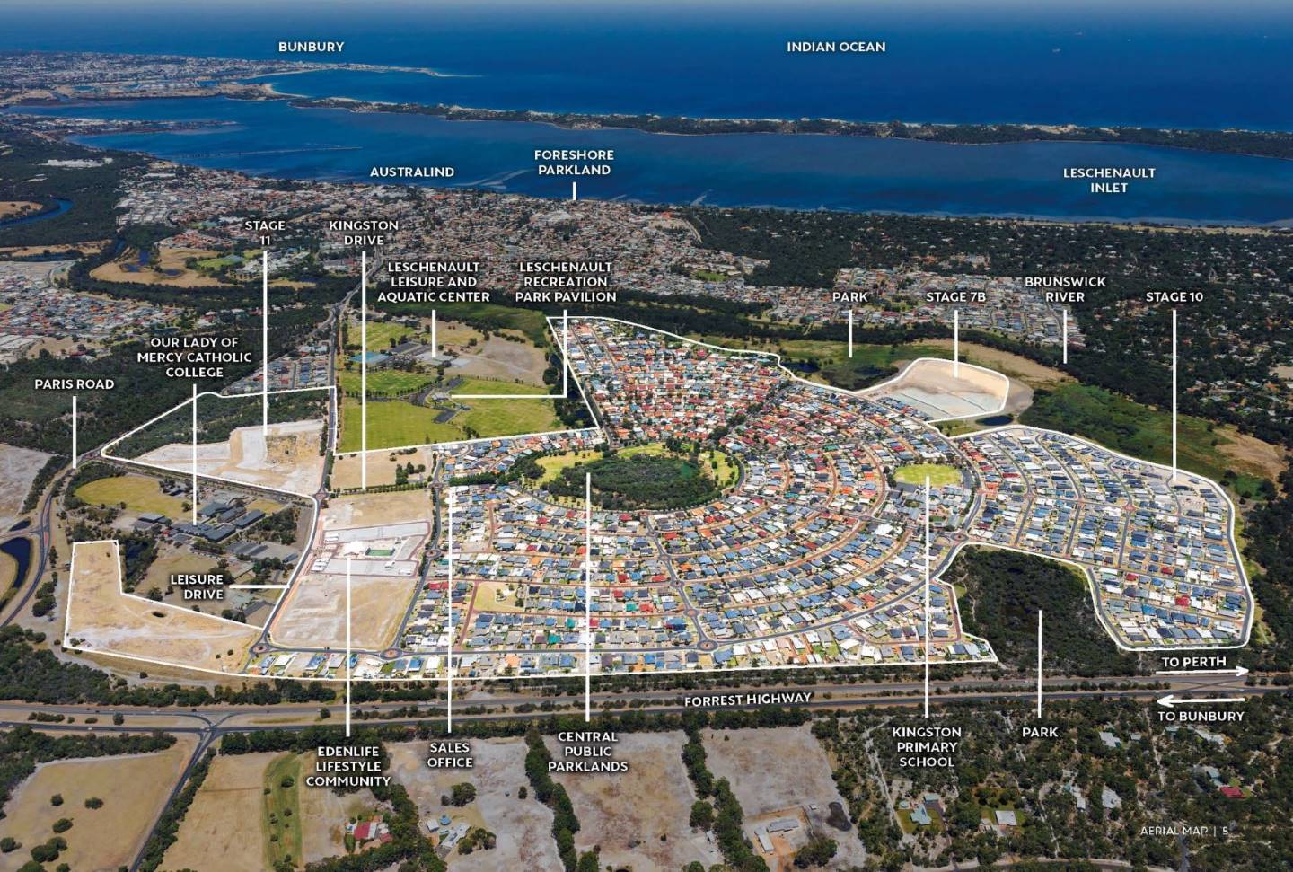
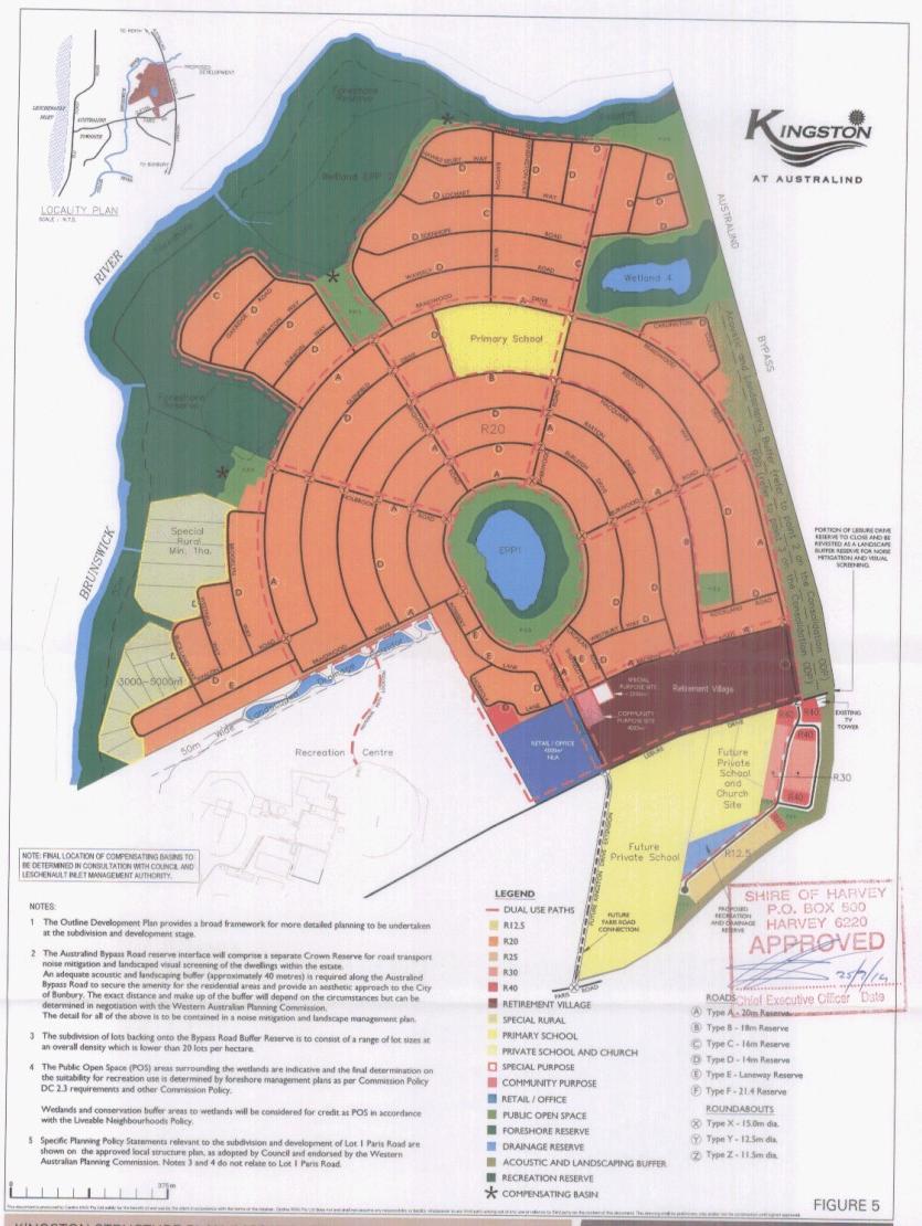
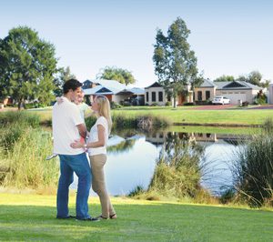
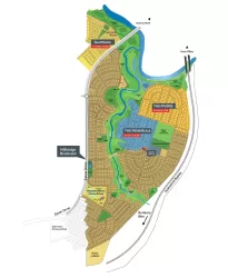
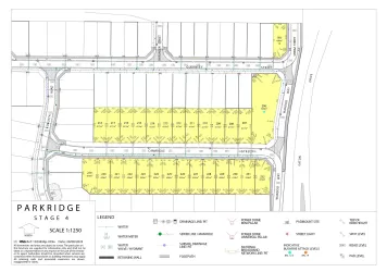
Overview
This information is estimated by the OpenLot research team. Let us know here to provide up-to-date information about this development.
| Total new homes | |
| Area Size | 185.00 hectares |
| Growth Region | Bunbury (The South West Region) |
| City Council | Shire of Harvey |
| Developer | The Lester Group |
Updates for Kingston Estate - Australind
Popular Estates near Kingston Estate - Australind
Not exactly what you're looking for? Try surrounding suburbs
South Bunbury WA 6230
1 estate | City of Bunbury
10.9km south-west
Millbridge WA 6232
1 estate | Shire of Dardanup
3.1km south-east
Glen Iris WA 6230
2 estates | City of Bunbury
7.4km south-west
College Grove WA 6230
1 estate | City of Bunbury
11.6km south-west
Eaton WA 6232
1 estate | Shire of Dardanup
3.6km south
Roelands WA 6226
1 estate | Shire of Harvey
10.2km east
Latest published articles


FAQs about Kingston Estate - Australind
The Lester Group is the developer behind Kingston Estate - Australind.
Kingston Estate - Australind consists of 1,400 homes.
The total area for Kingston Estate - Australind is 185.00 hectares.
Kingston Estate - Australind falls under Shire of Harvey.
Nearby schools for Kingston Estate - Australind:
- Kingston Primary School - 490m north
- Our Lady of Mercy College - 738m south-east
- Parkfield Primary School - 1.7km west
- Australind Senior High School - 2.1km south-west
- Treendale Primary School - 2.2km south
- Australind Primary School - 2.4km south-west