
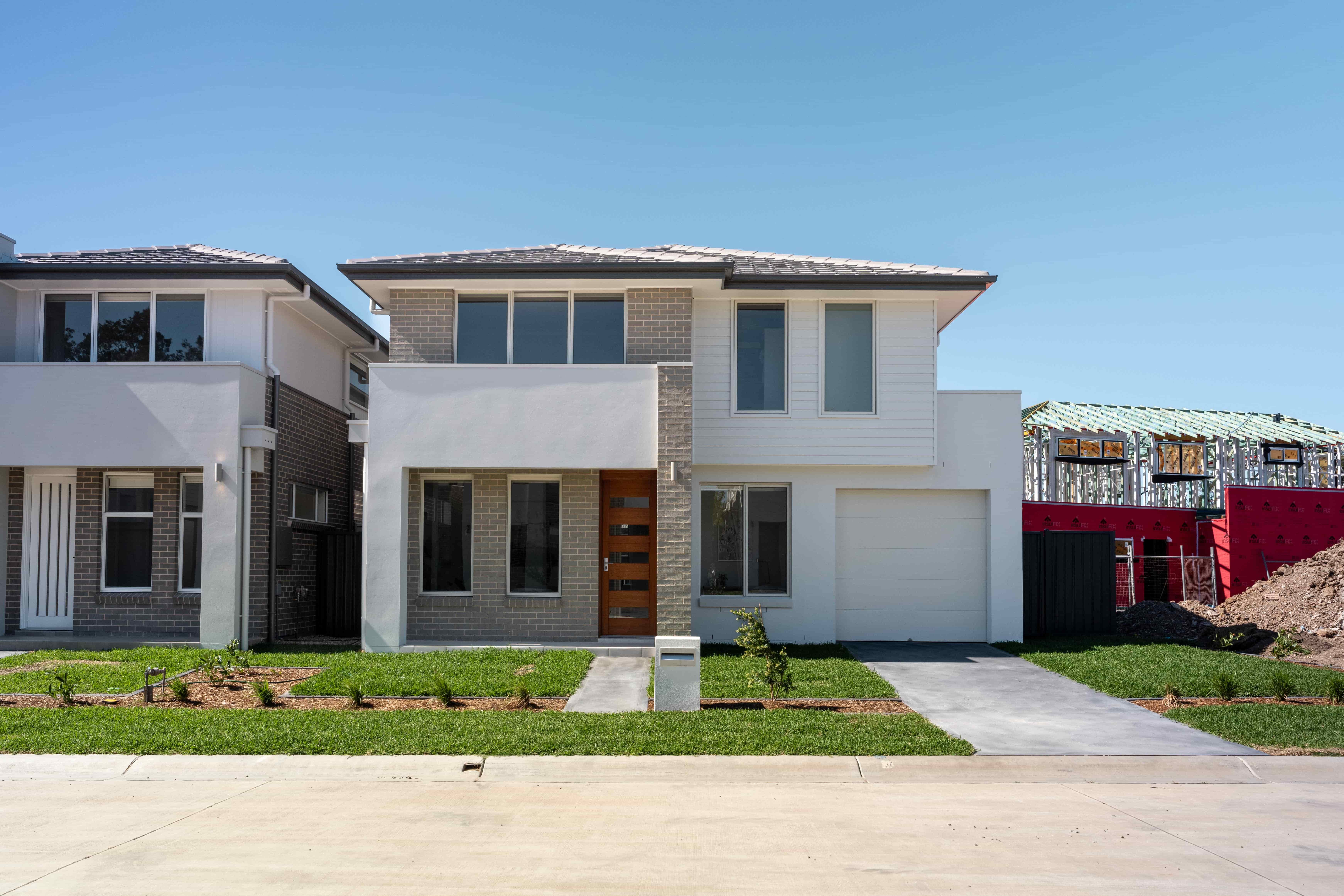
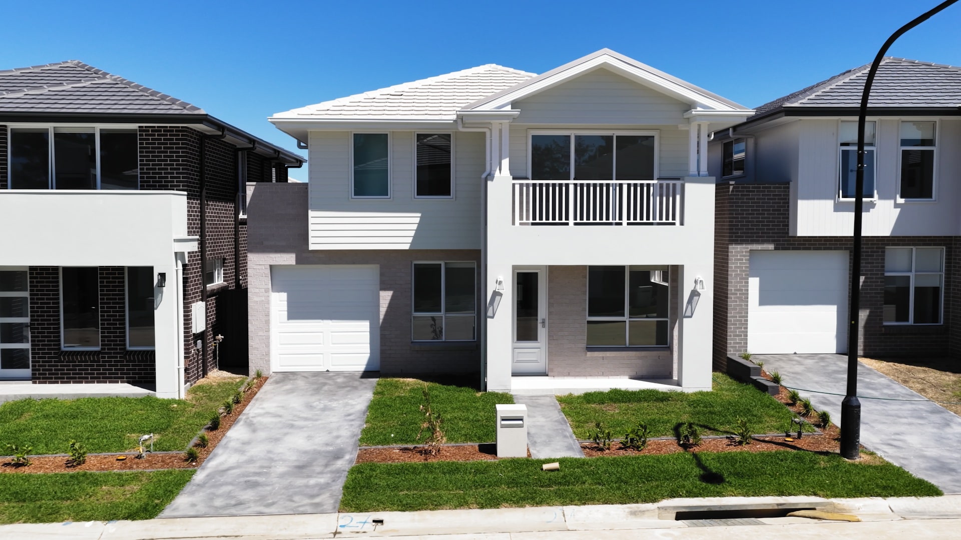
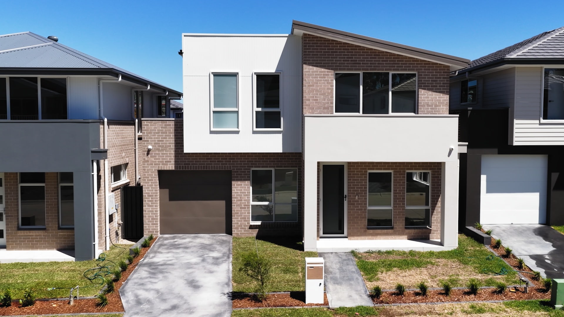
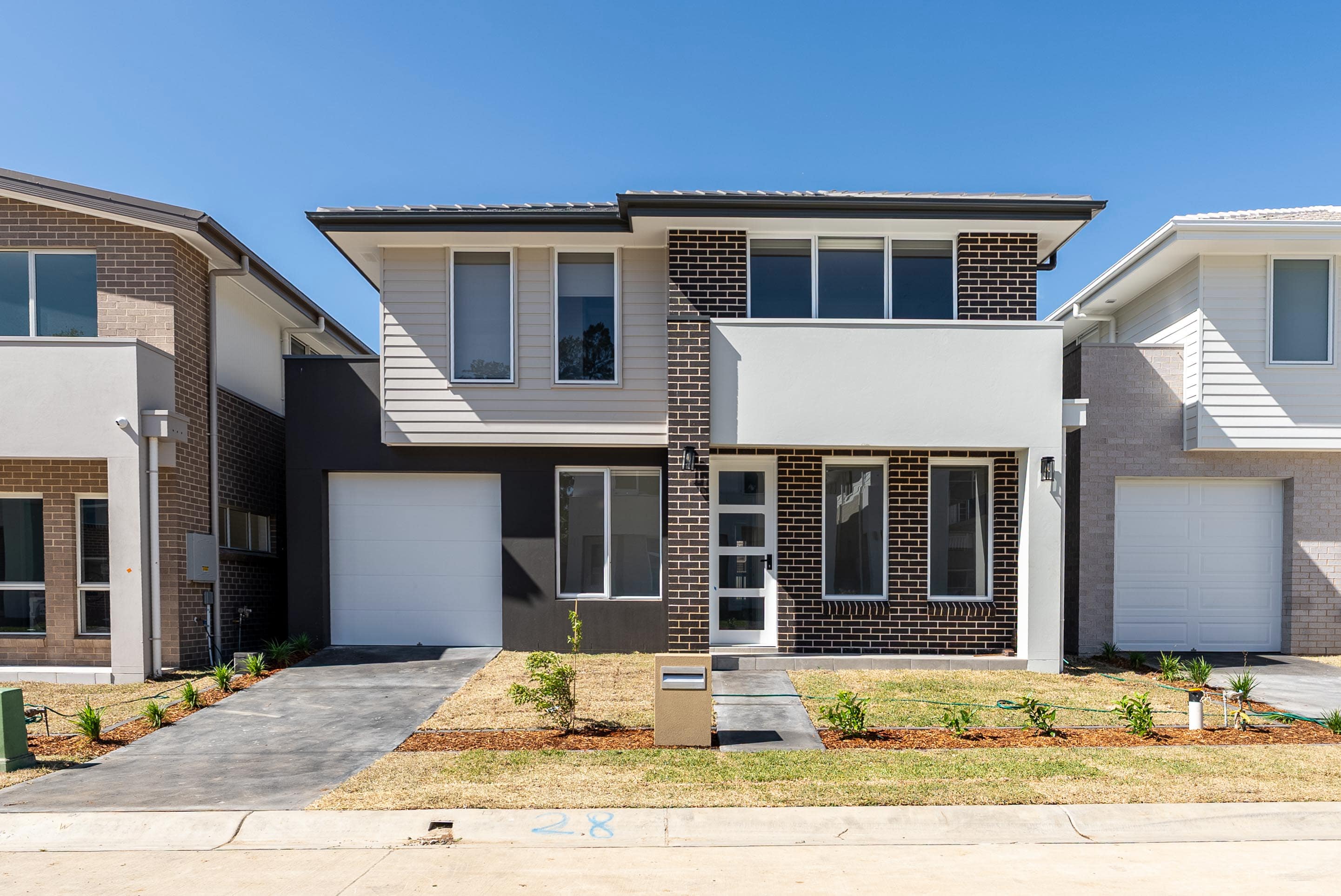
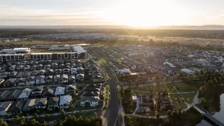
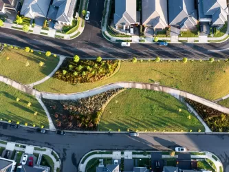
Landen's Marsden Park Estate - Marsden Park
[LIMITED OFFER] Brand-New, Ready-To-Move-In Homes Now Selling!


- Ready to move in homes with premium inclusions
- Secure with a 5% deposit
- Minutes away from Costco, Bunnings, Ikea, Aldi and the Greenway Village Shopping Centre
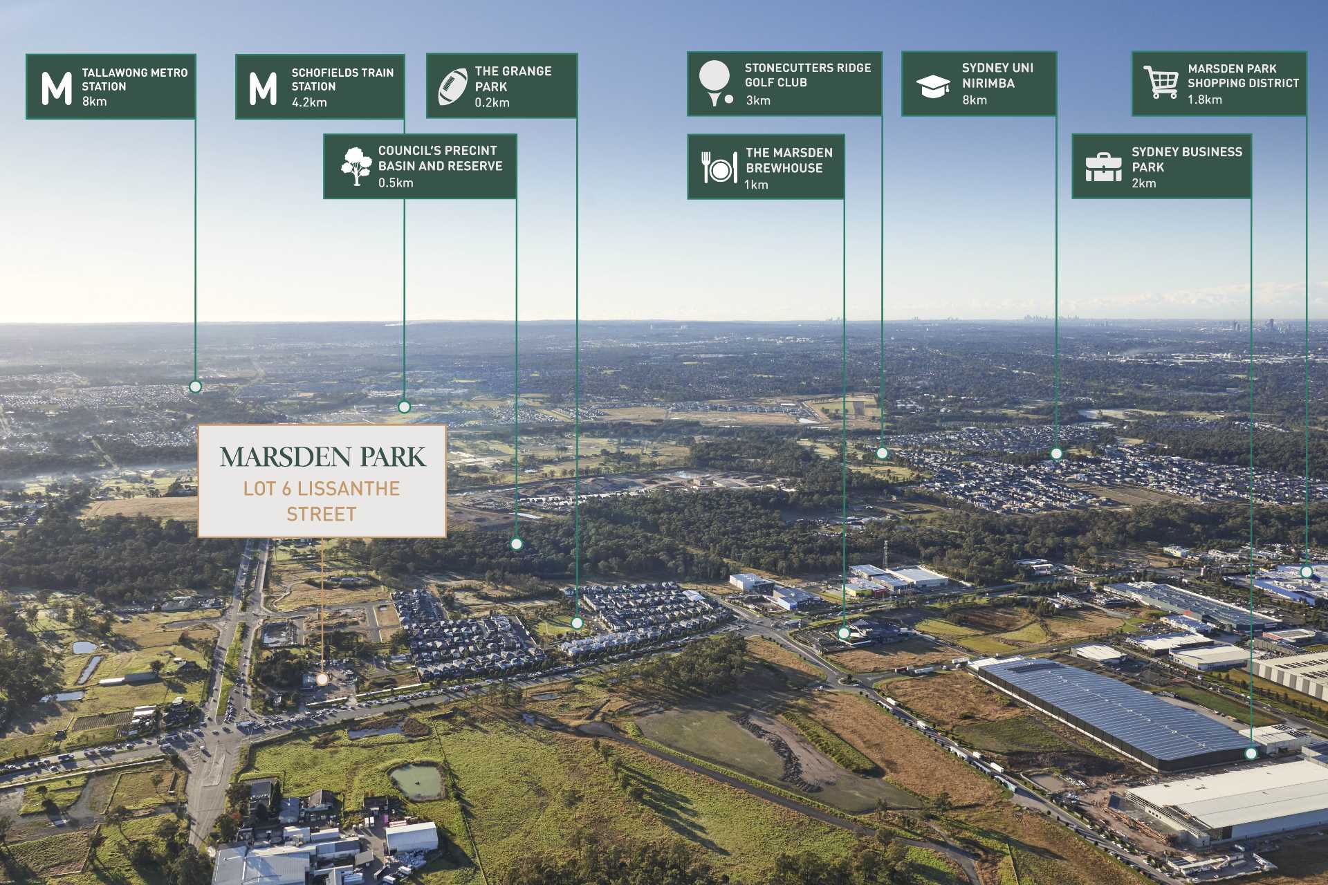
- Proximity to Schofield's Train Station and easy access to the M7 motorway, linking to the M2 and M4
- Marsden Park Public School, Northbourne Public School and St Luke’s Catholic College are some of the schools close by
- Marsden Park is home to Sydney Business Park
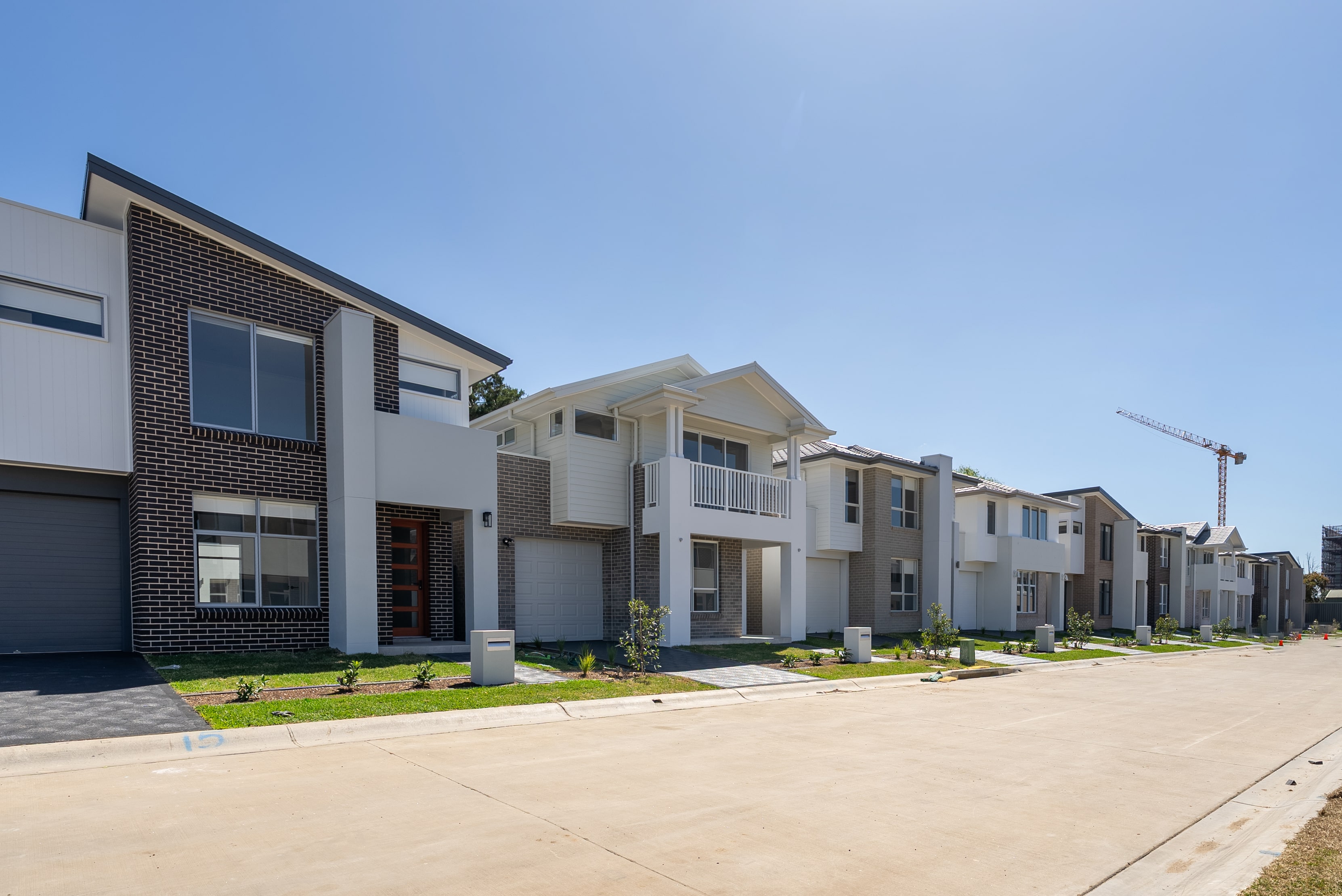
- Internal images are of this estate's Display Home. Inclusions and floorplans may vary for other residences.
Property types for sale
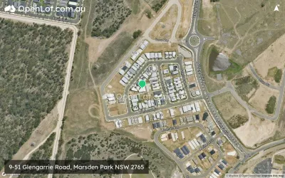
Location & Map for Landen's Marsden Park Estate - Marsden Park
Schools near Landen's Marsden Park Estate - Marsden Park
Overview
This information is estimated by the OpenLot research team. Let us know here to provide up-to-date information about this development.
| Total new homes | |
| Area Size | 1.28 hectares |
| Growth Region | Sydney North West Growth Areas |
| City Council | Blacktown City Council |
| Developer | Landen, North Homes |
| Distance to |
Suburb Planning Review in Marsden Park NSW 2765
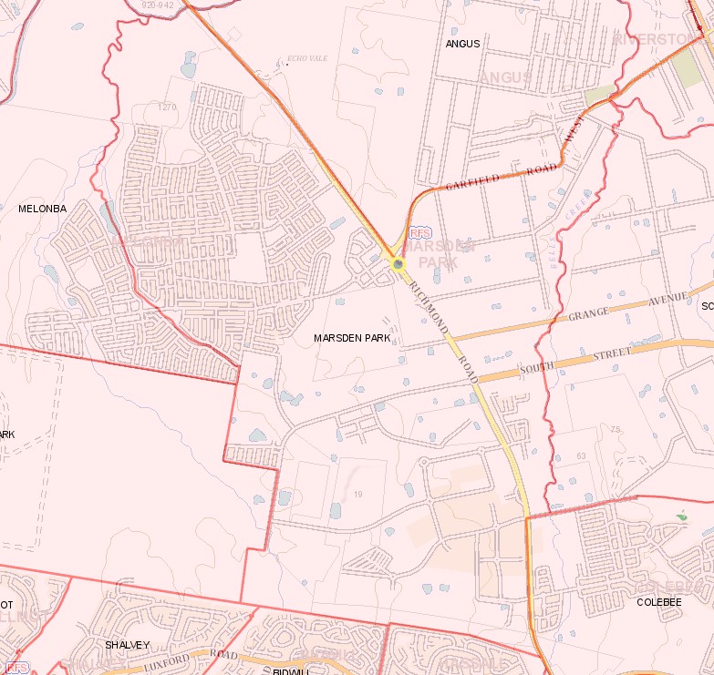
Marsden Park is approximately 1,380ha within the Blacktown City Council forming part of the Greater Western Sydney region in New South Wales, located 49 kilometres north-west of the Sydney central business district. The southern portion of the suburb is primarily made up of general industry, with a large central rural area and rural residential properties found in the northeast, increased density with new residential subdivisions occurring to the north of the suburb. The suburb does not have a business district and is located on the urban fringe of surrounding residential areas.
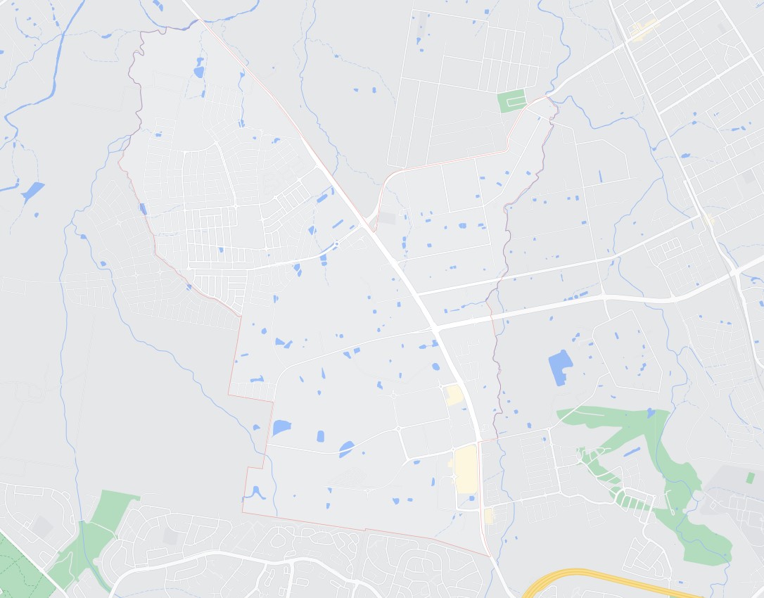
The suburb boundary is located along Richmond Road and Garfield Road West to the north, the residential fringe of Hassall Grove, Bidwill ad Shalvey to the south. Bells Creek and Richmond Road provide the suburb boundary to the east, with property boundaries and meandering a dry river bed from South Creek to the west.
Richmond Road runs through the east of the suburb and Abell Road runs through the middle of the suburb connecting to the Garfield Road West intersection. High voltage transmission lines run through the middle of Marsden Park from north to south. South Street and Garfield Road provide additional vehicle access to the surrounding suburbs in the east.
North West Priority Growth Area
Sydney’s North West will form part of the new approach to planning in NSW, following a review by the Department of Planning Industry and Environment in partnership with the Greater Sydney Commission and Government Architect. The decision was made to deliver 51 growth precincts, with the state government able to target areas and local councils empowered to get the correct planning for their community. The precinct planning will occur in four different pathways, being:
- State-led strategic planning
- Collaborative planning between the State and councils
- State-led rezoning
- Council-led rezoning
Marsden Park forms part of the North West Growth Area and will proceed under the State-led and council-led rezoning methods with the division of the large suburb. The state-led rezoning will Implement planning frameworks on behalf of the State, in collaboration with councils and community framework that support them, while the council-led rezoning is completed by the council in consultation with the community.
_1.jpg)
The NSW state government in collaboration with Blacktown City Council prepared a Growth Centres Precinct Development Control Plan (DCP) that was adopted by the Deputy Director General Strategies and Land Release (or delegate) of the Department of Planning on 14 May 2010 and came into force on 19 May 2010. After community consultation, the Marsden Park Precinct was adopted 4 October 2013, with further amendments made in July 2016.
The DCP was prepared to provide additional guidance to developers on how development is to occur in the Precinct and considerations to undertake development in Marsden Park. The Council’s statutory development assessment will refer to the DCP and in conjunction with the Growth Centres SEPP.
As part of this planning Marden Park was broken into 3 new precincts:
- Marsden Park (reduction in size)
- Marsden Park North
- Marsden Park Industrial
_0.jpg)
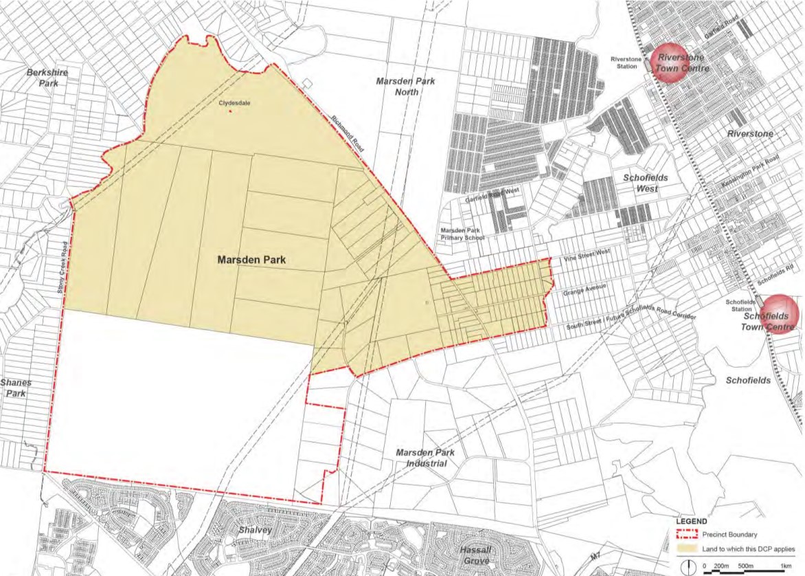
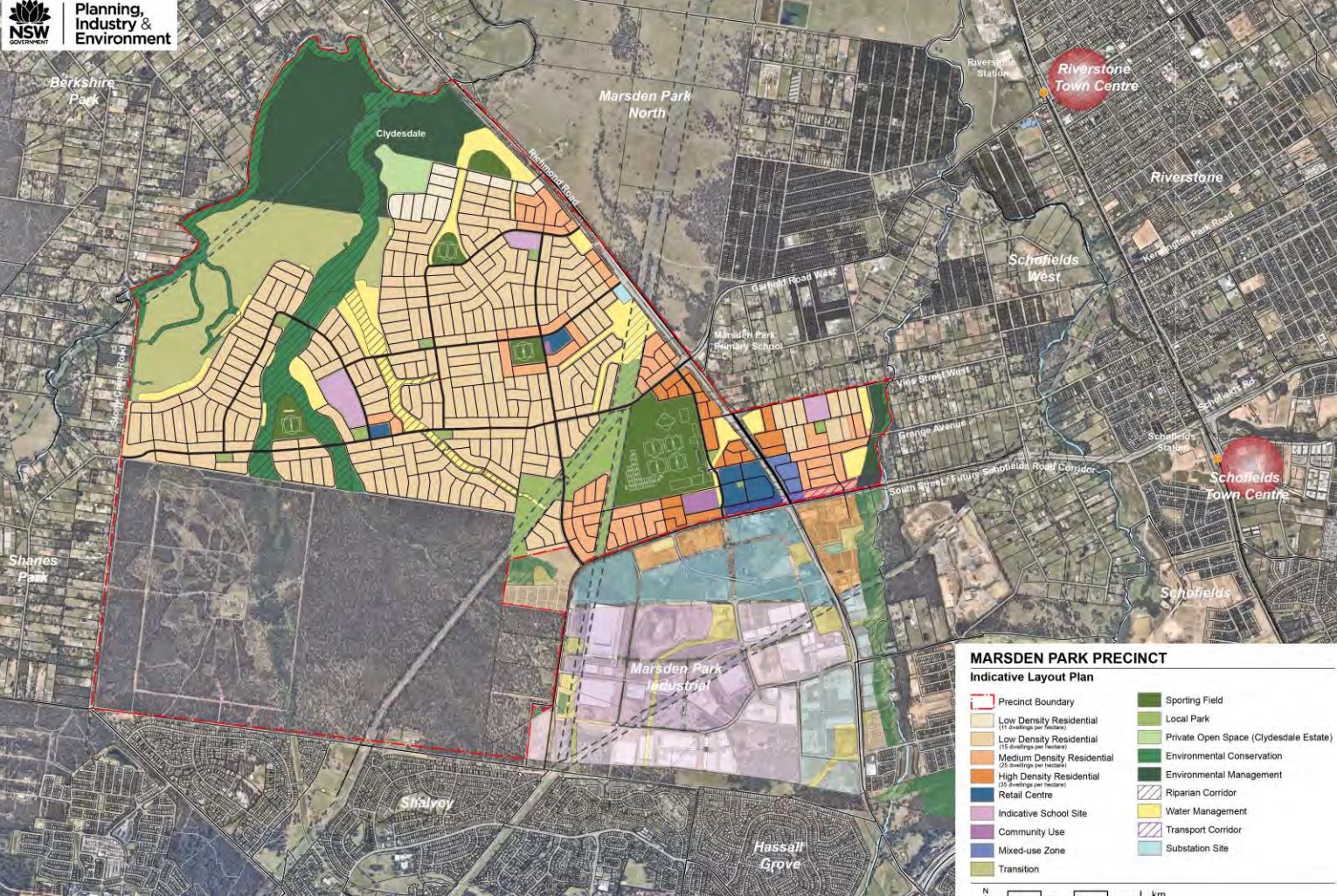
Marsden Park Precinct
The New South Wales State Government aimed to provide a new precinct that provided new and diverse housing in Sydney that is well connected to major centres and employment while protecting significant vegetation within the Precinct. The precinct is to provide for a mix of housing types that allows greater choice for different household types. Predominantly made up of low density housing, Medium density housing is located around the village centres, schools and open spaces and Higher density housing is proposed around the town centre.
This precinct plan has been active for 12 years and the new urban areas are starting to emerge in the north of the land application area. A new town centre and two local centres will provide for the 10,000 new homes expected to be constructed, with a new road that will include upgrades to major roads including Richmond Road. 108 ha of open space and recreational area, along with more than 450 hectares of significant vegetation and major creek corridors will provide for the new community.
It is noted that the Precincts of Marsden Park Industrial and North will use parts of the former Marsden Park suburb for separate growth areas.
_0.jpg)
Vision of Marsden Park
“Planning for the Marsden Park Precinct responds to the need for new and diverse housing in Sydney that is well connected to major centres and employment, protects natural assets and encourages sustainable living. Consideration of the surrounding context, history and natural environment has informed the precinct planning process”.
“The Precinct will consist of a mix of housing types that allows greater choice for different household types. It is predominantly accommodated with low density housing. Medium density housing is located around the village centres, schools and open spaces. Higher density housing is proposed around the town centre to optimise convenient living near retail, community facilities, schools, recreational facilities and public transport. Items and places of significant heritage value, particularly Aboriginal Heritage and Clydesdale Estate, have been integrated into the planning of the Precinct and protected through a sensitive design approach”.
“The town and village centres, each having a specific character and role, will support retail, commercial and community services to promote community interaction. A mixed-use development area along Richmond Road allows supporting functions to the Marsden Park Town Centre and the adjacent Marsden Park Industrial Precinct. The conversion of the former Grange Avenue Landfill Site over time for sporting facilities will support active and passive recreational uses close to the Town Centre. The former Air Services Site in the south of the Precinct remains reserved as a future regional conservation area. Direct road connections to the nearby Riverstone and Schofields Railway Stations ensure regional public transport accessibility”.
“Consideration has also been made for a transport corridor that could potentially link the Precinct to the North West Rail Link. A safe and permeable street network will promote accessibility, connectivity and social interaction. The provision of cycleways and pedestrian connections, as well as public transport connections to surrounding centres, will promote a community that is less dependent on private vehicle use. Local food production is encouraged within the undeveloped floodplain along South Creek. This will provide the benefit of fresh food sources and may instil a feeling of community responsibility”.
_0.jpg)
_0.jpg)
Marsden Park Suburb Summary
Updates for Landen's Marsden Park Estate - Marsden Park


Land Price Trend in Marsden Park NSW 2765
Below shows the price trend from vacant land sales recorded in Marsden Park NSW 2765.
The data and information provided by Terralytics (Aust) Pty Ltd (Terralytics Data) is general in nature and is not intended to constitute professional advice. Read more
It should not be relied upon as a substitute for legal, financial, valuation, or other specialist advice relevant to your specific circumstances.
Terralytics uses commercially reasonable endeavours to ensure the Terralytics Data is current and accurate. However, as the Terralytics Data incorporates information sourced from third parties, Terralytics makes no representation or warranty — express or implied — as to its accuracy, completeness, or currency. To the maximum extent permitted by applicable law, Terralytics excludes all liability for any loss or damage (including consequential loss) arising out of or in connection with reliance on the Terralytics Data, whether arising in contract, tort (including negligence), statute, or otherwise.
Popular Estates near Landen's Marsden Park Estate - Marsden Park

Not exactly what you're looking for? Try surrounding suburbs
Colebee NSW 2761
2 estates | Blacktown City Council
6.7km south-east
Schofields NSW 2762
11 estates | Blacktown City Council
6.7km east
Riverstone NSW 2765
17 estates | Blacktown City Council
6.6km east
Jordan Springs NSW 2747
3 estates | Penrith City Council
5.5km south-west
Melonba NSW 2765
1 estate | Blacktown City Council
1.2km north-east
Plumpton NSW 2761
1 estate | Blacktown City Council
7.6km south-east
Latest published articles


FAQs about Landen's Marsden Park Estate - Marsden Park
Landen and North Homes is the developer behind Landen's Marsden Park Estate - Marsden Park.
Landen's Marsden Park Estate - Marsden Park consists of 42 homes.
The total area for Landen's Marsden Park Estate - Marsden Park is 1.28 hectares.
Landen's Marsden Park Estate - Marsden Park falls under Blacktown City Council.
Landen's Marsden Park Estate - Marsden Park is 37 km north-west of Sydney CBD.
Nearby schools for Landen's Marsden Park Estate - Marsden Park:
- Marsden Park Public School - 1.4km north-west
- St Luke's Arrunga - 2.2km north-west
- St Luke's Catholic College (Primary) - 2.3km north-west
- St Luke's Catholic College (Secondary) - 2.3km north-west
- Northbourne Public School - 2.9km north-west
- St Clare's Catholic High School - 3.0km south