
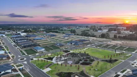
Loom Estate - Warragul
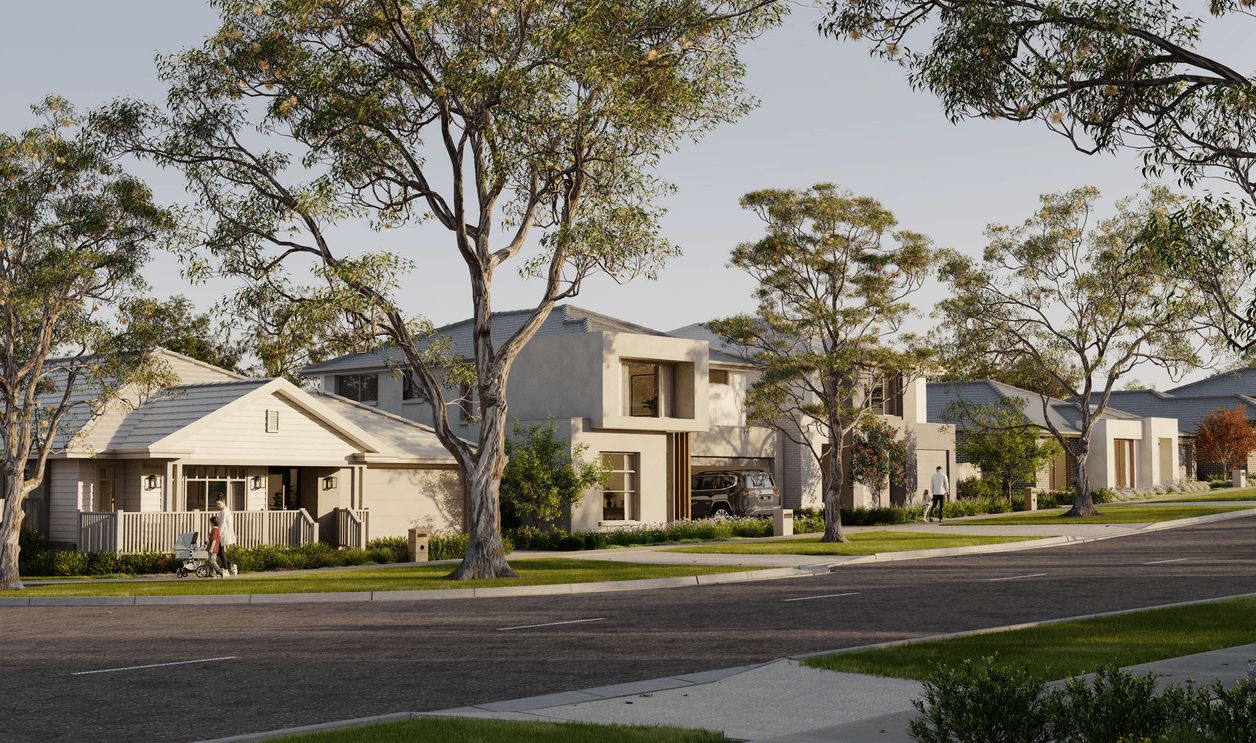
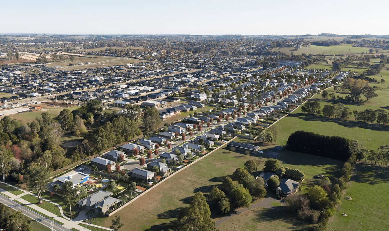
[NEW RELEASE] A life woven with wonder awaits at Loom


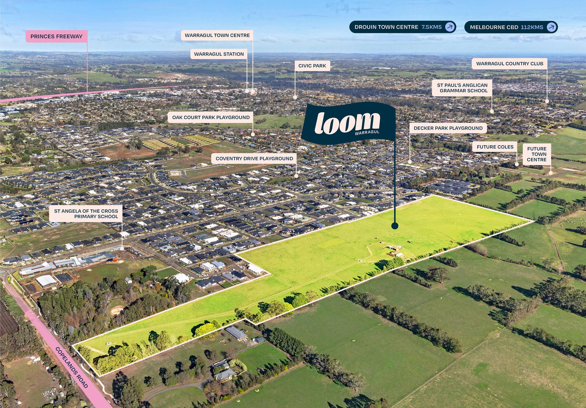
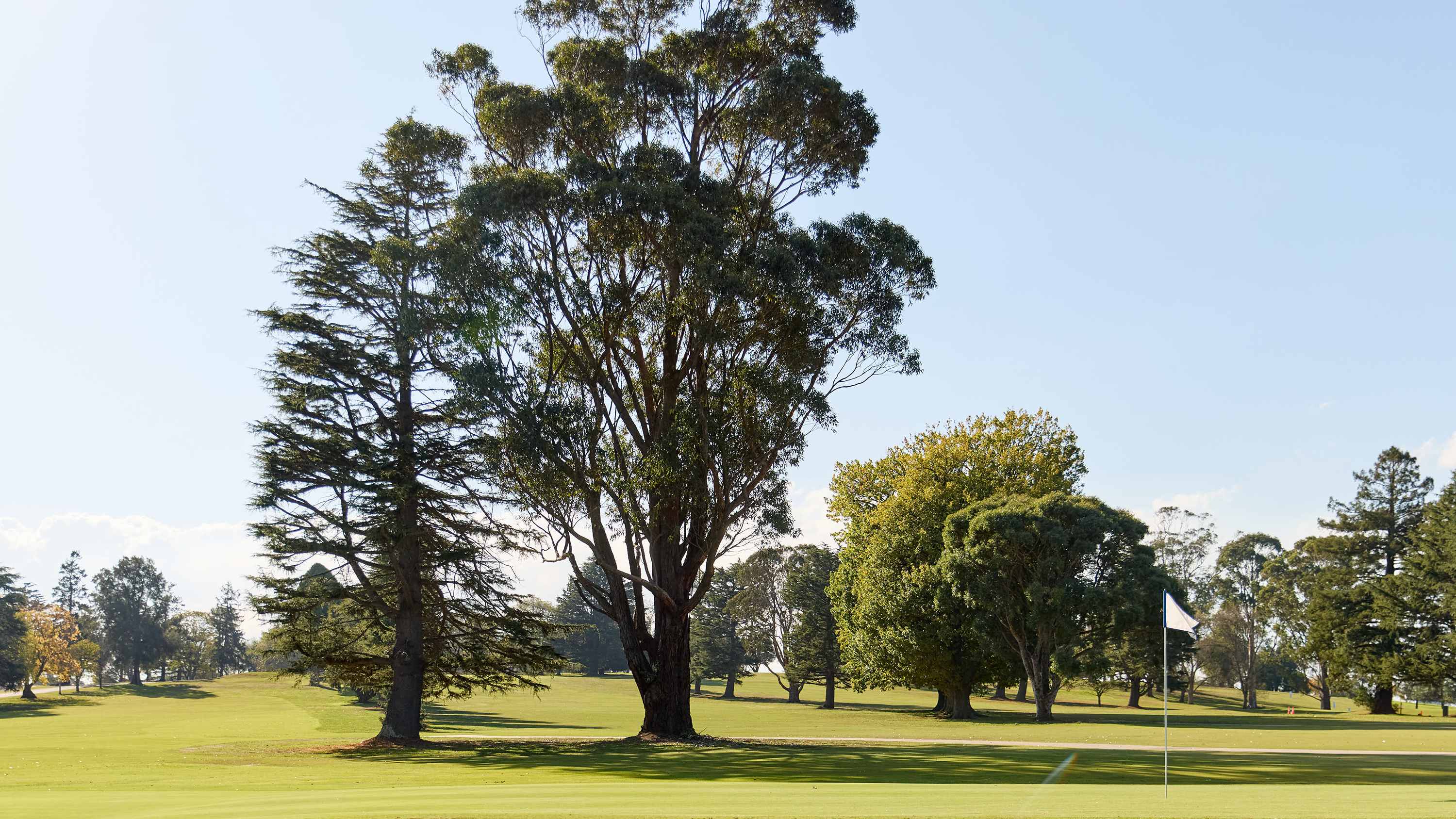
- Rolling green hills and views of the Strzelecki Ranges and Mount Baw Baw.
- Great schools, both public and private (e.g. St Angela of the Cross Primary School, Warragul Regional College, St Paul’s Anglican Grammar). NEW COLES supermarket shops approved and being built behind Loom Estate. Walking distance!
- Just over an hour by train to Melbourne CBD via V/Line.
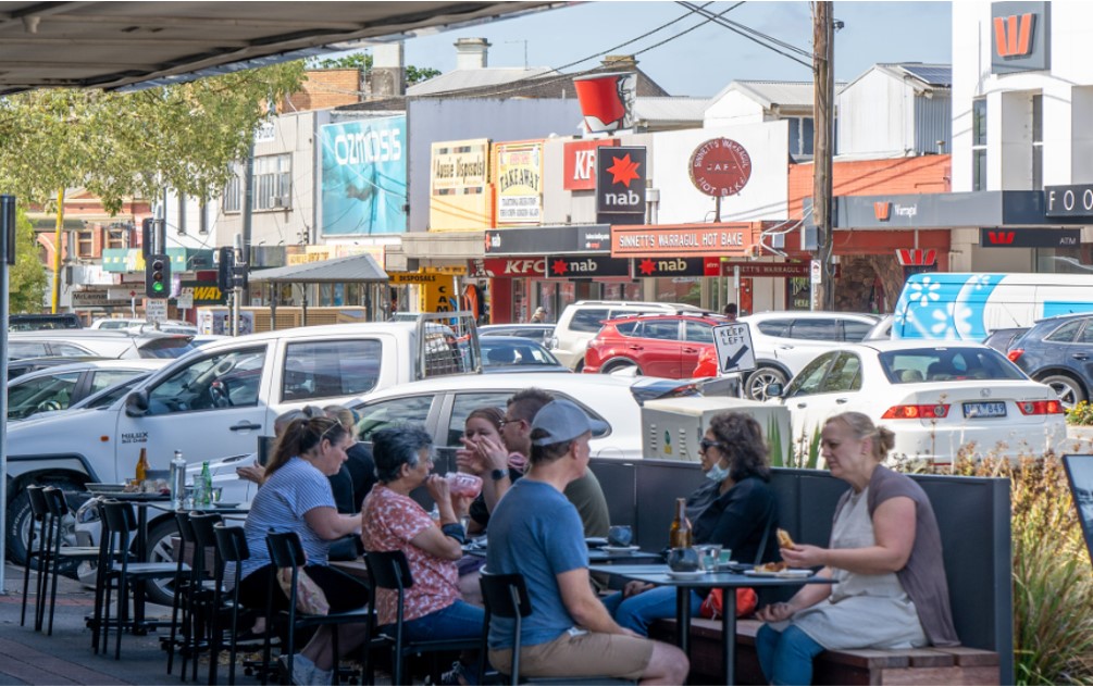
- Bustling town centre with shops, cafes, bakeries, and local markets.
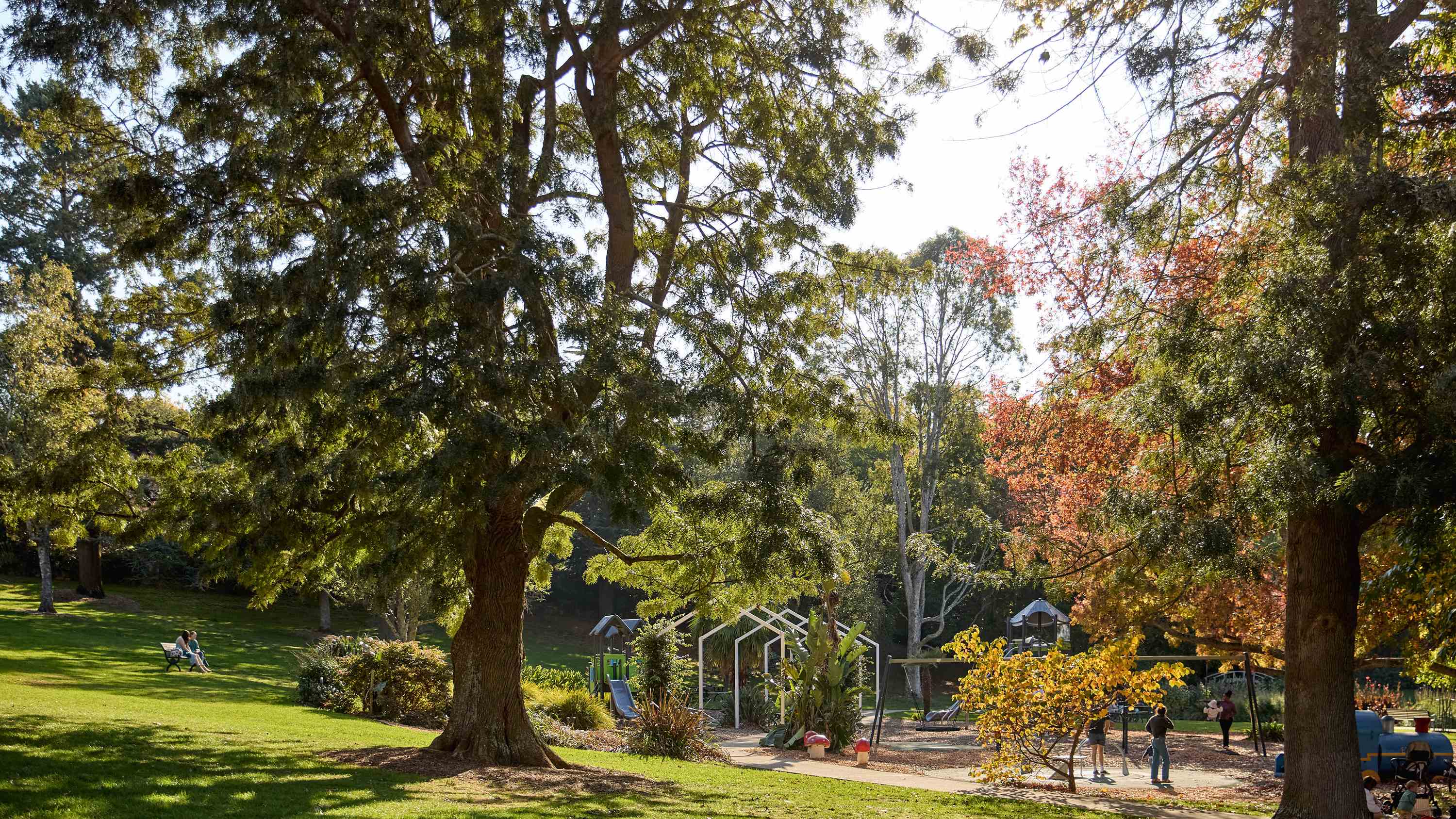
- Safe neighbourhoods and plenty of parks, playgrounds, and sporting clubs including Warragul Country Club.
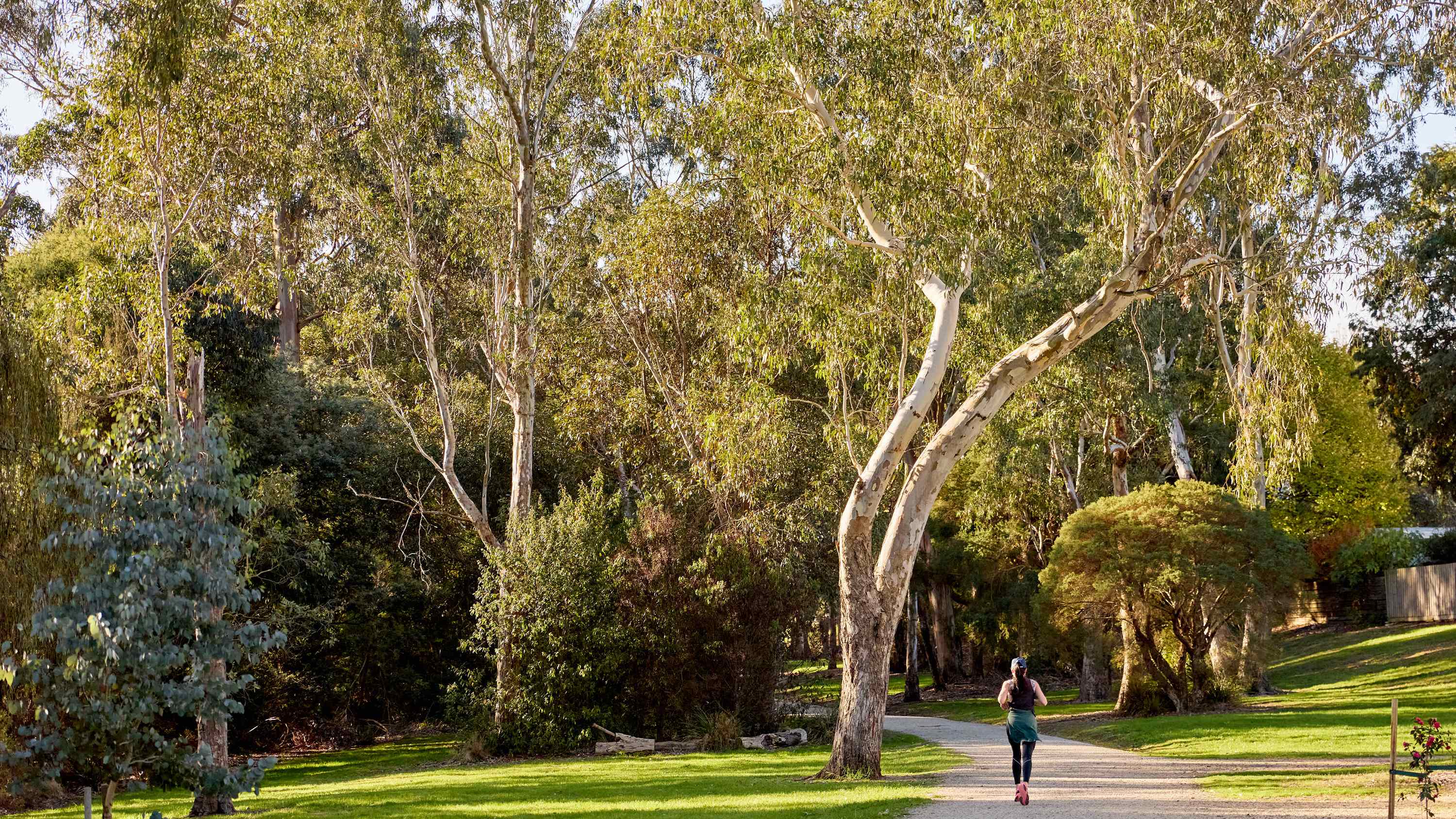
- Walking and cycling trails, including the Two Towns Trail (Warragul to Drouin).
- Access to healthcare services, including the West Gippsland Hospital.
- Easy access to Gippsland parks, wineries, and weekend escapes to the coast or mountains.
- Excellent local cafes, bakeries, and regional wines.
- Ideal for first-home buyers, downsizers, or families seeking more space in a fast-growing regional hotspot.
Property types for sale
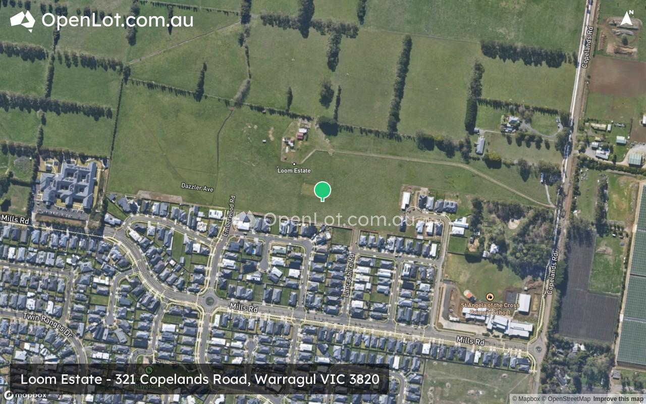
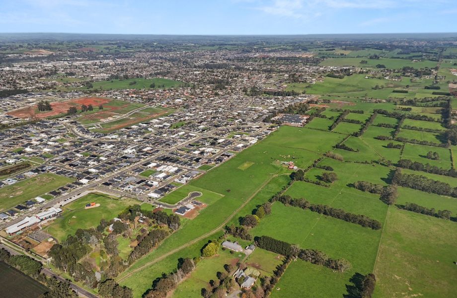
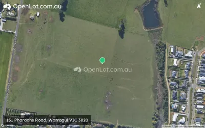
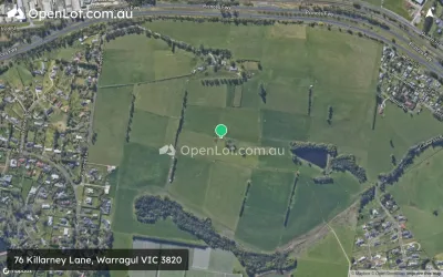
Location & Map for Loom Estate - Warragul
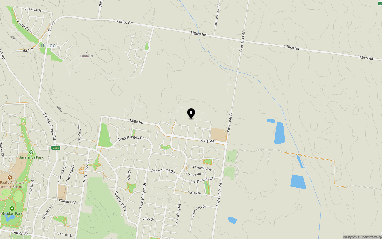
Schools near Loom Estate - Warragul
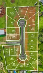
5 Land Lots in Loom Estate - Warragul
4 House and Land Packages in Loom Estate - Warragul
Overview
This information is estimated by the OpenLot research team. Let us know here to provide up-to-date information about this development.
| Total new homes | |
| Area Size | 15.43 hectares |
| Growth Region | Gippsland Regional Growth Areas |
| City Council | Baw Baw Shire Council |
| Developer | TW Projects |
| Project Marketer | Oliver Hume Real Estate Group |
| Creative Agency | Cassette |
| Distance to |
Updates for Loom Estate - Warragul
Land Price Trend in Warragul VIC 3820
Below shows the price trend from vacant land sales recorded in Warragul VIC 3820.
The data and information provided by Terralytics (Aust) Pty Ltd (Terralytics Data) is general in nature and is not intended to constitute professional advice. Read more
It should not be relied upon as a substitute for legal, financial, valuation, or other specialist advice relevant to your specific circumstances.
Terralytics uses commercially reasonable endeavours to ensure the Terralytics Data is current and accurate. However, as the Terralytics Data incorporates information sourced from third parties, Terralytics makes no representation or warranty — express or implied — as to its accuracy, completeness, or currency. To the maximum extent permitted by applicable law, Terralytics excludes all liability for any loss or damage (including consequential loss) arising out of or in connection with reliance on the Terralytics Data, whether arising in contract, tort (including negligence), statute, or otherwise.
Popular Estates near Loom Estate - Warragul


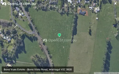
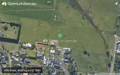
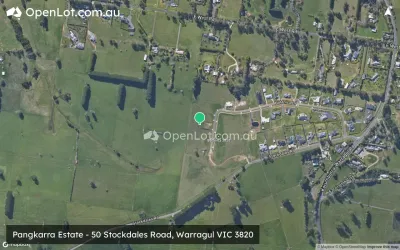
Not exactly what you're looking for? Try surrounding suburbs
Drouin South VIC 3818
1 estate | Baw Baw Shire Council
13.3km west
Longwarry VIC 3816
8 estates | Baw Baw Shire Council
15.1km west
Drouin VIC 3818
34 estates | Baw Baw Shire Council
6.9km north-west
Yarragon VIC 3823
2 estates | Baw Baw Shire Council
12.9km east
Nilma VIC 3821
1 estate | Baw Baw Shire Council
3.4km east
Warragul South VIC 3821
2 estates | Baw Baw Shire Council
7.3km south-west
Latest published articles


FAQs about Loom Estate - Warragul
TW Projects is the developer behind Loom Estate - Warragul.
Loom Estate - Warragul consists of 200 homes.
The total area for Loom Estate - Warragul is 15.43 hectares.
Loom Estate - Warragul falls under Baw Baw Shire Council.
Loom Estate - Warragul is 94 km south-east of Melbourne CBD.
Oliver Hume Real Estate Group is the project marketer for Loom Estate - Warragul.
Nearby schools for Loom Estate - Warragul:
- St Angela of the Cross Primary School - 484m south-east
- Warragul North Primary School - 1.9km south-west
- St Paul's Anglican Grammar School - 2.6km west
- Warragul Primary School - 3.2km south-west
- Nilma Primary School - 3.3km south-east
- Warragul Regional College - 4.1km south-west