
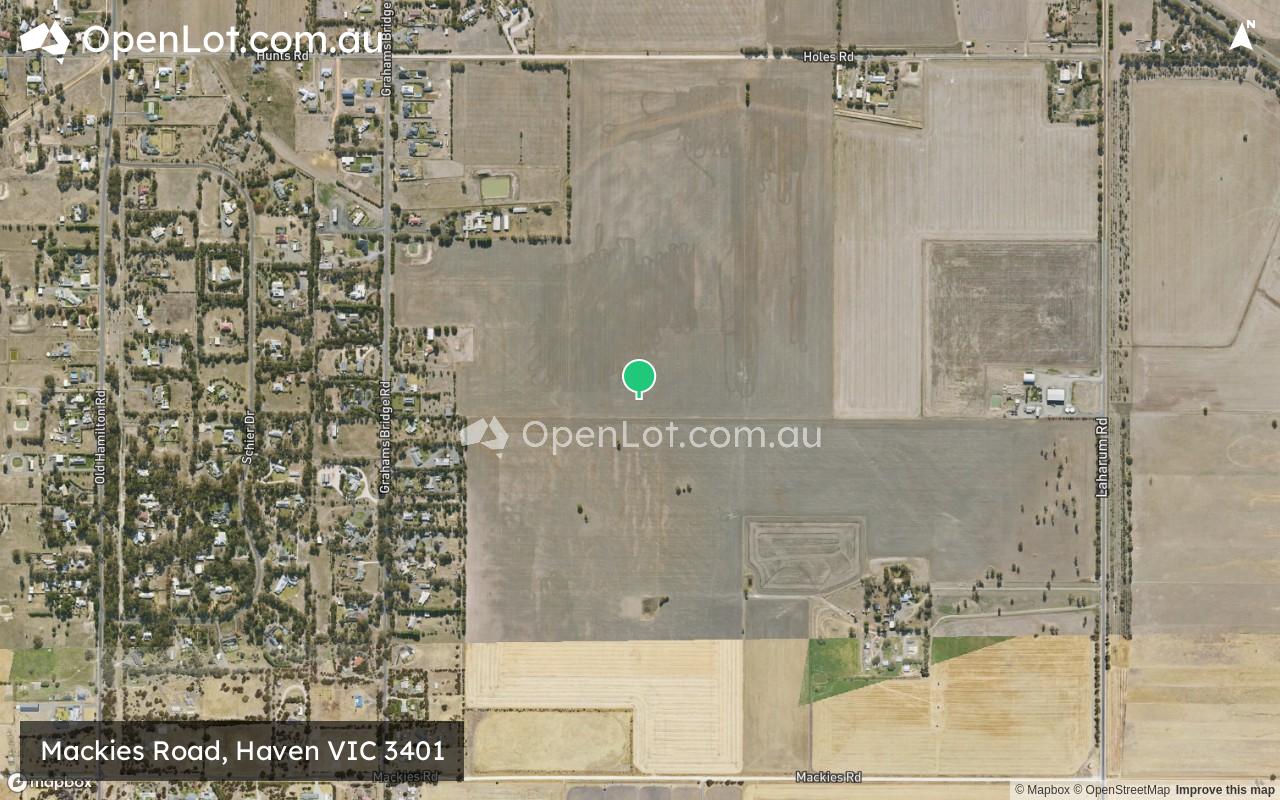
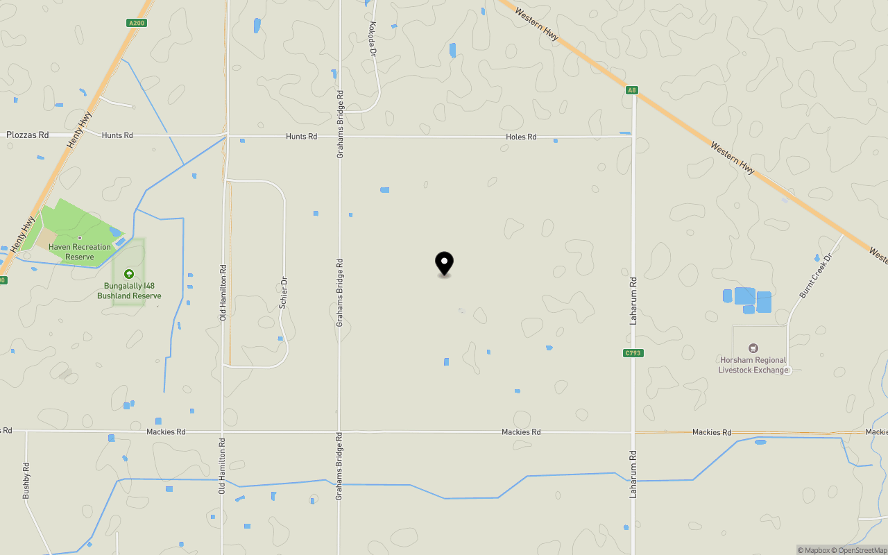
Location & Map for Mackies Road, Haven VIC 3401
Schools near Mackies Road, Haven VIC 3401
Overview
This information is estimated by the OpenLot research team. Let us know here to provide up-to-date information about this development.
| Total new homes | |
| Area Size | 114.69 hectares |
| City Council | Horsham Rural City Council |
| Developer | N/A |
Land Price Trend in Haven VIC 3401
Below shows the price trend from vacant land sales recorded in Haven VIC 3401.
The data and information provided by Terralytics (Aust) Pty Ltd (Terralytics Data) is general in nature and is not intended to constitute professional advice. Read more
It should not be relied upon as a substitute for legal, financial, valuation, or other specialist advice relevant to your specific circumstances.
Terralytics uses commercially reasonable endeavours to ensure the Terralytics Data is current and accurate. However, as the Terralytics Data incorporates information sourced from third parties, Terralytics makes no representation or warranty — express or implied — as to its accuracy, completeness, or currency. To the maximum extent permitted by applicable law, Terralytics excludes all liability for any loss or damage (including consequential loss) arising out of or in connection with reliance on the Terralytics Data, whether arising in contract, tort (including negligence), statute, or otherwise.
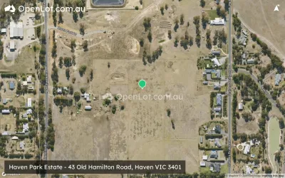
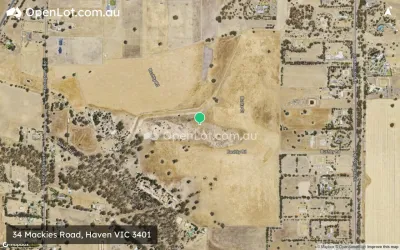
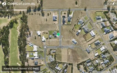
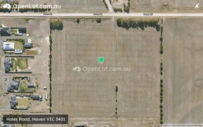
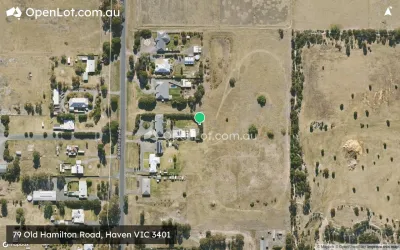
Popular Estates near Mackies Road, Haven


Not exactly what you're looking for? Try surrounding suburbs
Hamilton VIC 3300
2 estates | Southern Grampians Shire Council
112.4km south
Horsham VIC 3400
10 estates | Horsham Rural City Council
6.1km north-east
Ararat VIC 3377
5 estates | Ararat Rural City Council
89.4km south-east
Pomonal VIC 3381
1 estate | Ararat Rural City Council
65.0km south-east
Stawell VIC 3380
1 estate | Northern Grampians Shire Council
58.9km south-east
Kiata VIC 3418
1 estate | Hindmarsh Shire Council
58.5km north-west
Latest published articles


FAQs about Mackies Road, Haven VIC 3401
Mackies Road, Haven VIC 3401 consists of 155 homes.
The total area for Mackies Road, Haven VIC 3401 is 114.69 hectares.
Mackies Road, Haven VIC 3401 falls under Horsham Rural City Council.
Nearby schools for Mackies Road, Haven VIC 3401:
- St Brigid's College - 4.8km north
- St Michael and John's Primary School - 5.3km north
- Horsham Primary School - 5.4km north
- Holy Trinity Lutheran College - 5.8km north
- Horsham West and Haven Primary School - 5.9km north-west
- Horsham Special School - 6.5km north-west