


Property types for sale
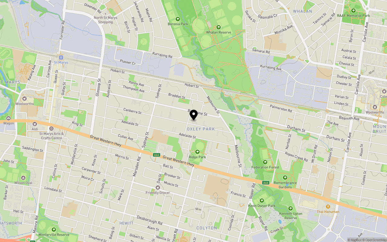
Location & Map for Montrose Townhouses - Oxley Park
Schools near Montrose Townhouses - Oxley Park
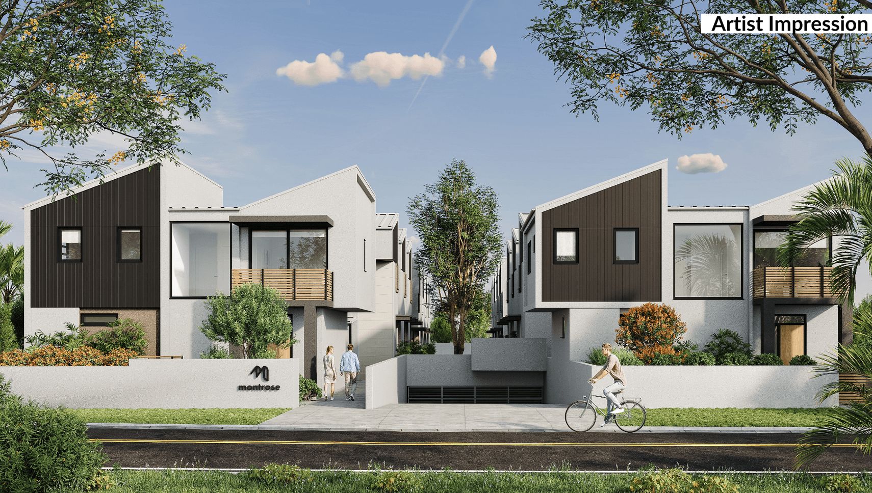
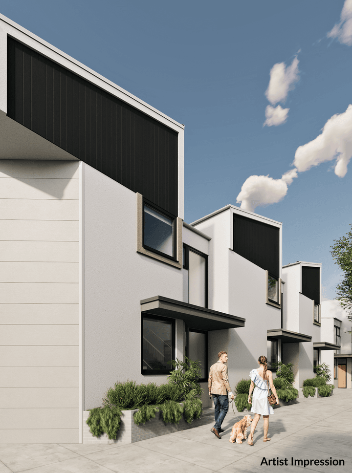
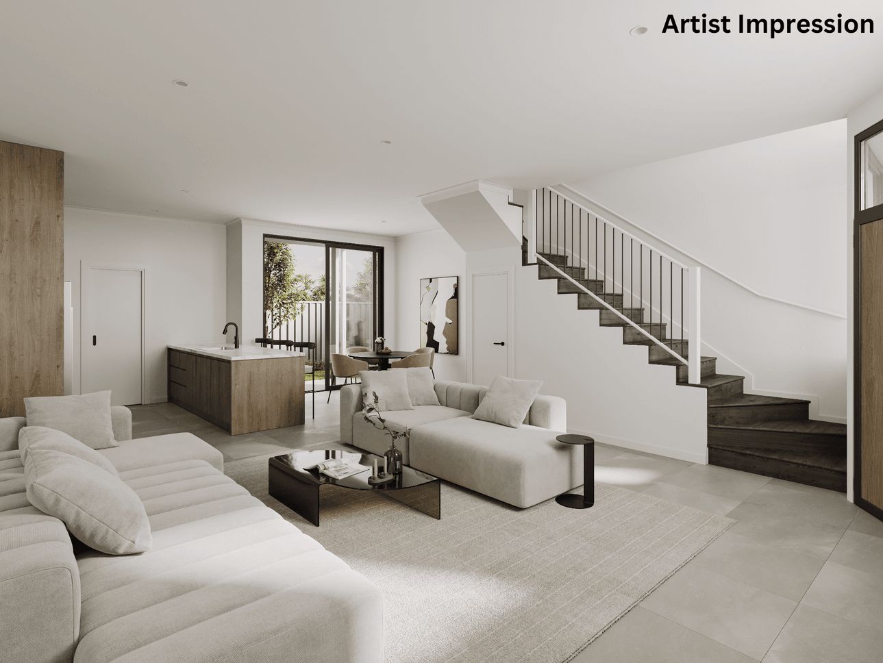
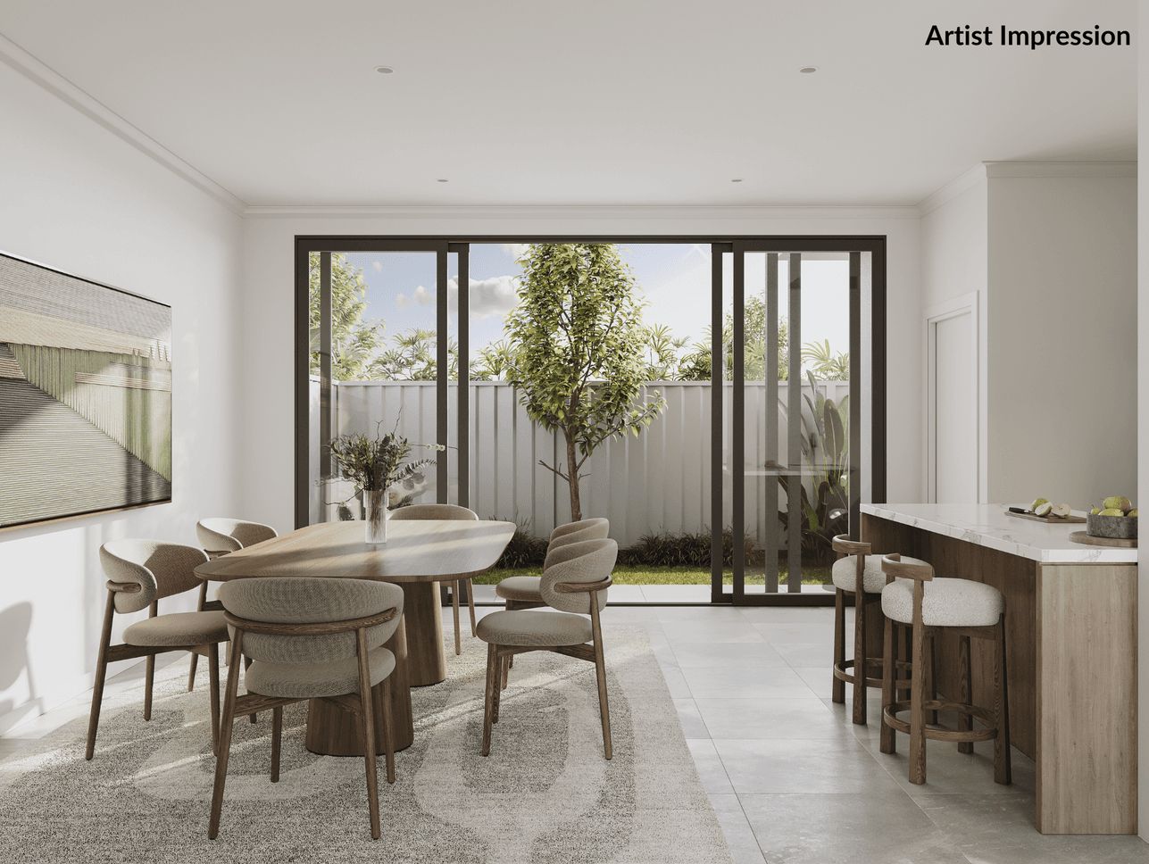
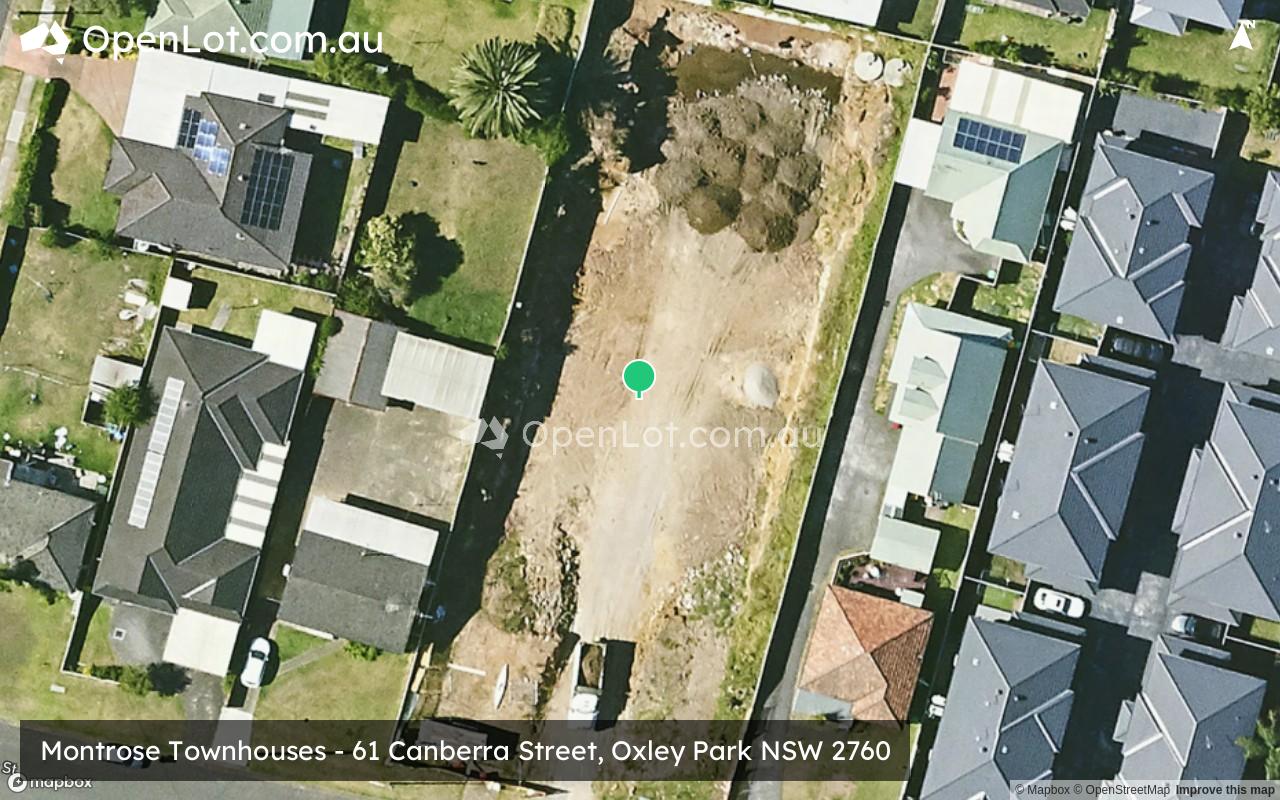
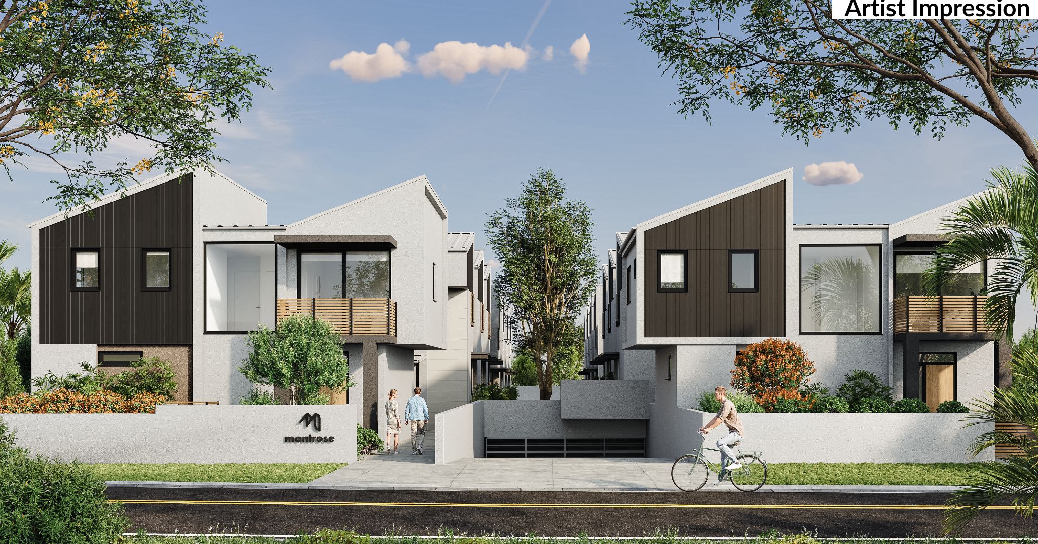
Overview
This information is estimated by the OpenLot research team. Let us know here to provide up-to-date information about this development.
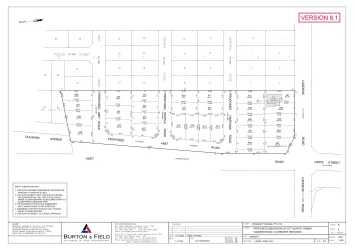
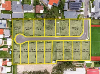
| Total new homes | |
| Area Size | 0.22 hectares |
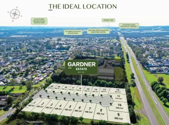
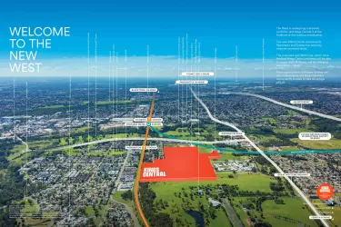
| Growth Region | Sydney North West Growth Areas |
| City Council | Penrith City Council |
| Developer | N/A |
| Project Marketer | Ray White Diamantidis Group |
| Distance to |
Updates for Montrose Townhouses - Oxley Park
Popular Estates near Montrose Townhouses - Oxley Park


Not exactly what you're looking for? Try surrounding suburbs
Caddens NSW 2747
3 estates | Penrith City Council
6.0km west
Werrington NSW 2747
4 estates | Penrith City Council
4.8km west
Doonside NSW 2767
1 estate | Blacktown City Council
7.1km east
Claremont Meadows NSW 2747
3 estates | Penrith City Council
4.1km west
Rooty Hill NSW 2766
2 estates | Blacktown City Council
4.6km east
Plumpton NSW 2761
1 estate | Blacktown City Council
4.6km north-east
Latest published articles


FAQs about Montrose Townhouses - Oxley Park
Montrose Townhouses - Oxley Park consists of 16 homes.
The total area for Montrose Townhouses - Oxley Park is 0.22 hectares.
Montrose Townhouses - Oxley Park falls under Penrith City Council.
Montrose Townhouses - Oxley Park is 38 km west of Sydney CBD.
Ray White Diamantidis Group is the project marketer for Montrose Townhouses - Oxley Park.
Nearby schools for Montrose Townhouses - Oxley Park:
- Oxley Park Public School - 512m south-west
- Colyton High School - 942m south
- Madang Avenue Public School - 1.5km north-east
- Bennett Road Public School - 1.6km south
- Bethel Christian School - 1.7km east
- Halinda School - 1.7km north-east