
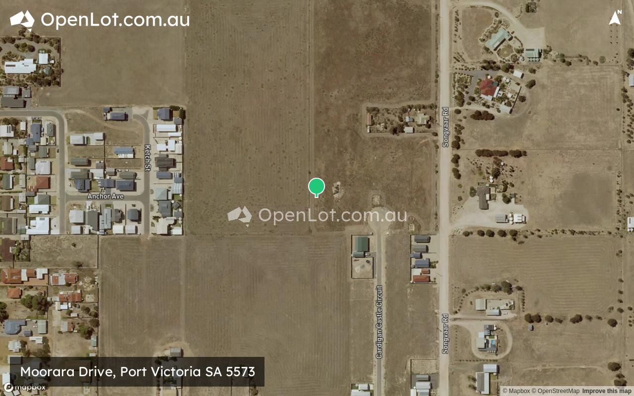
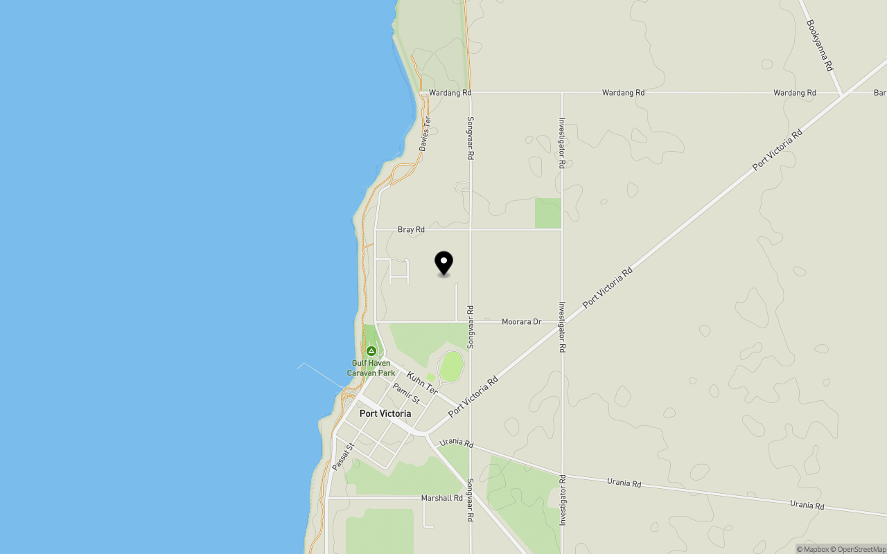
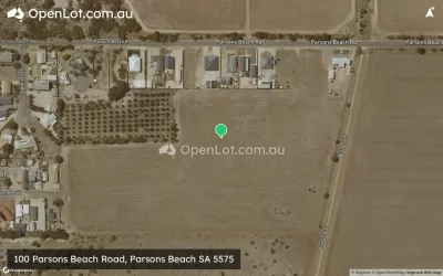
Location & Map for Moorara Drive, Port Victoria SA 5573
Schools near Moorara Drive, Port Victoria SA 5573
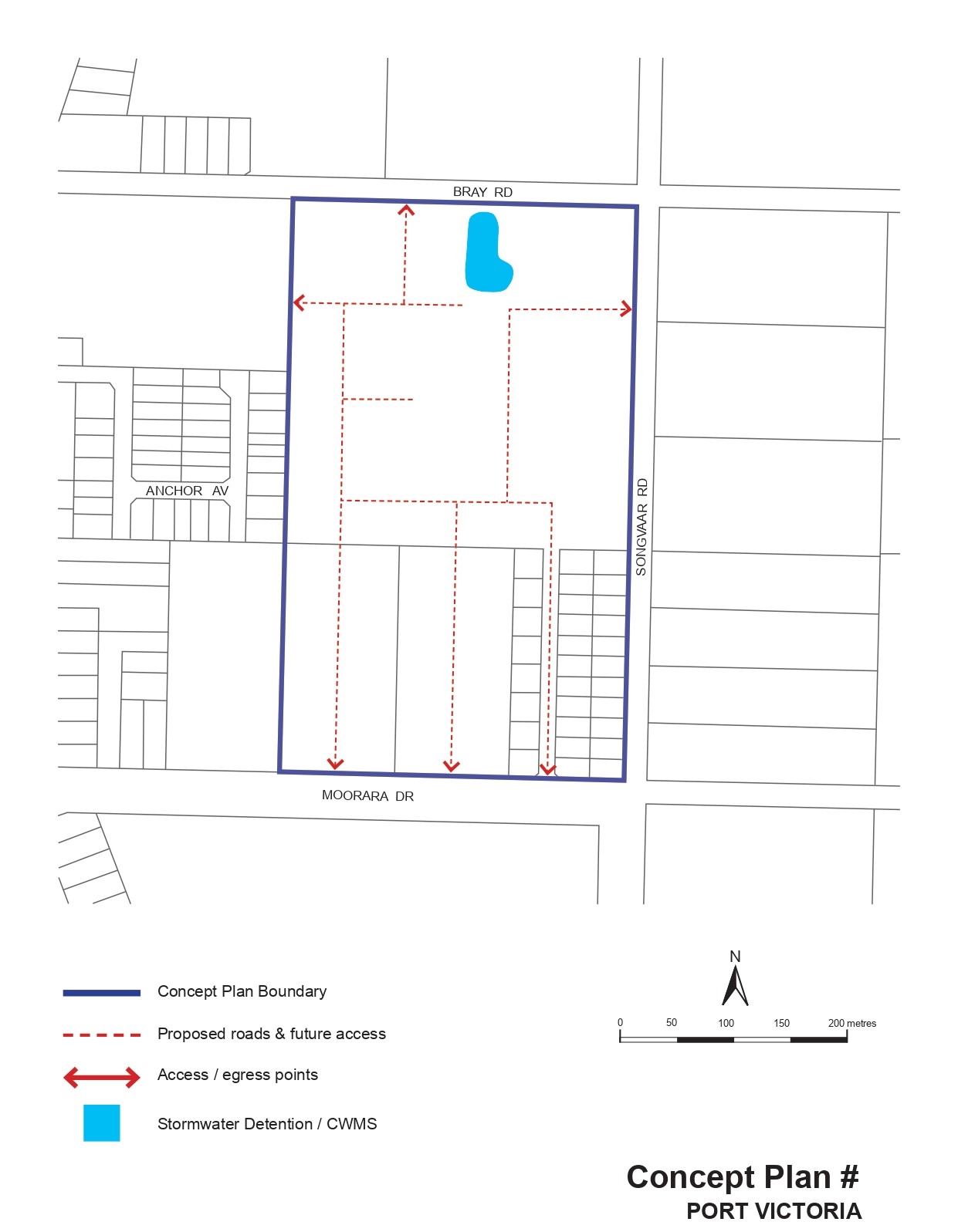
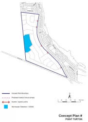
Overview
This information is estimated by the OpenLot research team. Let us know here to provide up-to-date information about this development.
| Total new homes | |
| Area Size | 15.30 hectares |
| City Council | Yorke Peninsula Council |
| Developer | N/A |
Land Price Trend in Port Victoria SA 5573
Below shows the price trend from vacant land sales recorded in Port Victoria SA 5573.
The data and information provided by Terralytics (Aust) Pty Ltd (Terralytics Data) is general in nature and is not intended to constitute professional advice. Read more
It should not be relied upon as a substitute for legal, financial, valuation, or other specialist advice relevant to your specific circumstances.
Terralytics uses commercially reasonable endeavours to ensure the Terralytics Data is current and accurate. However, as the Terralytics Data incorporates information sourced from third parties, Terralytics makes no representation or warranty — express or implied — as to its accuracy, completeness, or currency. To the maximum extent permitted by applicable law, Terralytics excludes all liability for any loss or damage (including consequential loss) arising out of or in connection with reliance on the Terralytics Data, whether arising in contract, tort (including negligence), statute, or otherwise.
Popular Estates near Moorara Drive, Port Victoria


Not exactly what you're looking for? Try surrounding suburbs
Black Point SA 5571
1 estate | Yorke Peninsula Council
37.4km east
Parsons Beach SA 5575
1 estate | Yorke Peninsula Council
29.3km south
Port Hughes SA 5558
1 estate | Copper Coast Council
46.7km north
Bluff Beach SA 5575
1 estate | Yorke Peninsula Council
25.7km south
Moonta Bay SA 5558
4 estates | Copper Coast Council
49.4km north
Point Turton SA 5575
1 estate | Yorke Peninsula Council
51.1km south
Latest published articles


FAQs about Moorara Drive, Port Victoria SA 5573
The total area for Moorara Drive, Port Victoria SA 5573 is 15.30 hectares.
Moorara Drive, Port Victoria SA 5573 falls under Yorke Peninsula Council.
Nearby schools for Moorara Drive, Port Victoria SA 5573:
- Central Yorke School - 21.7km north-east
- Maitland Lutheran School - 22.0km north-east
- Curramulka Primary School - 30.8km south-east
- Minlaton District School - 32.1km south
- Ardrossan Area School - 39.9km east
- Moonta Area School - 47.6km north