
Property types for sale
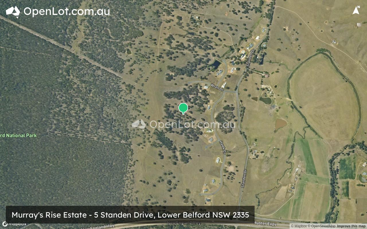
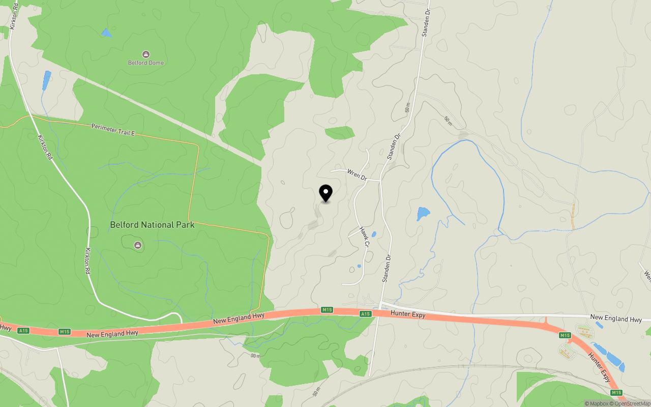
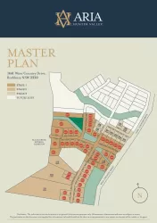
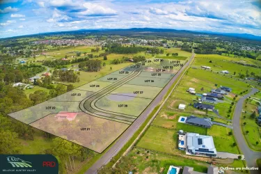
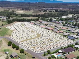
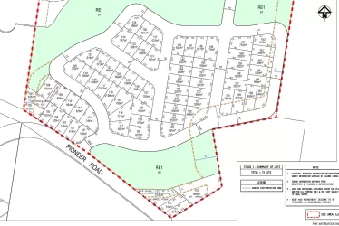
Location & Map for Murray's Rise Estate - Lower Belford
Schools near Murray's Rise Estate - Lower Belford
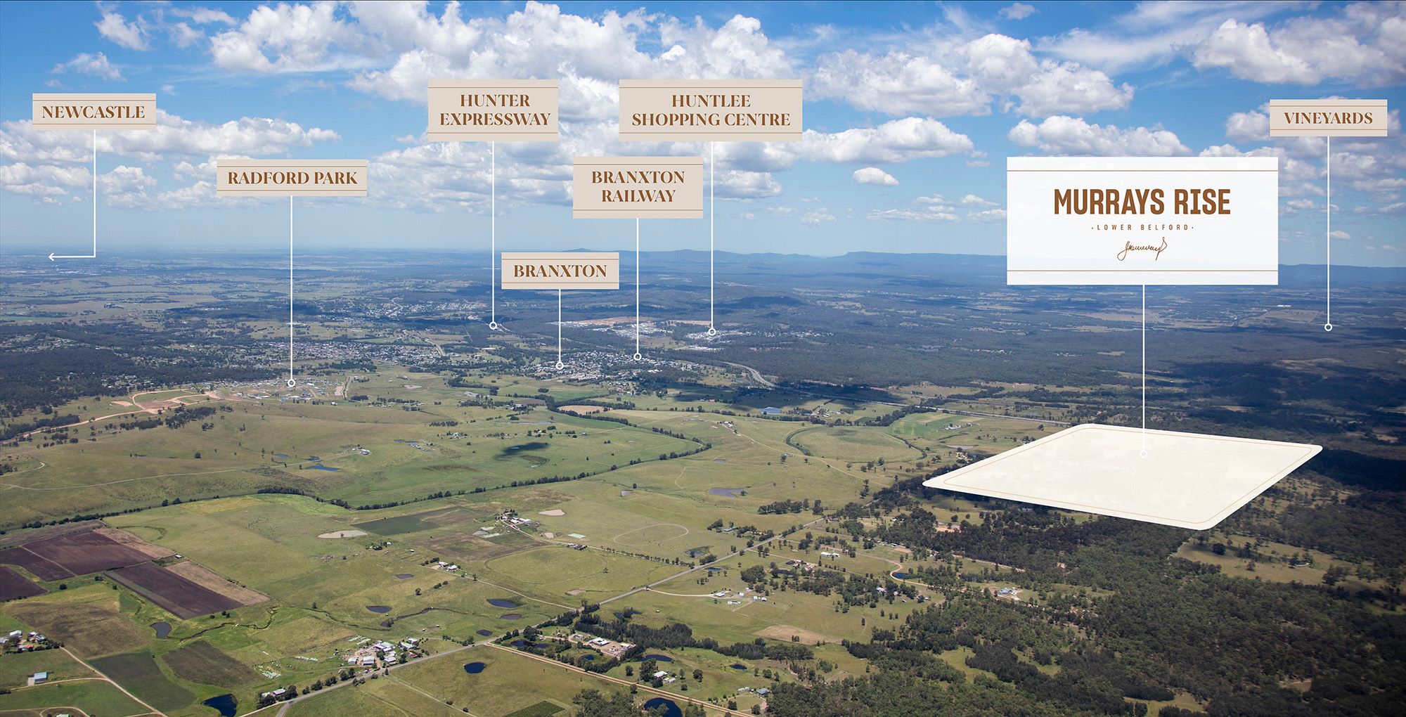
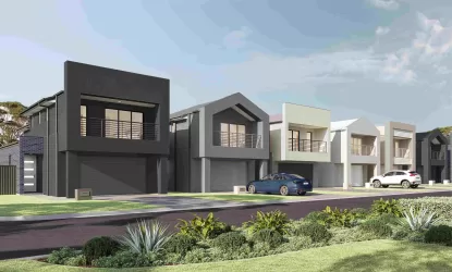
Overview
This information is estimated by the OpenLot research team. Let us know here to provide up-to-date information about this development.
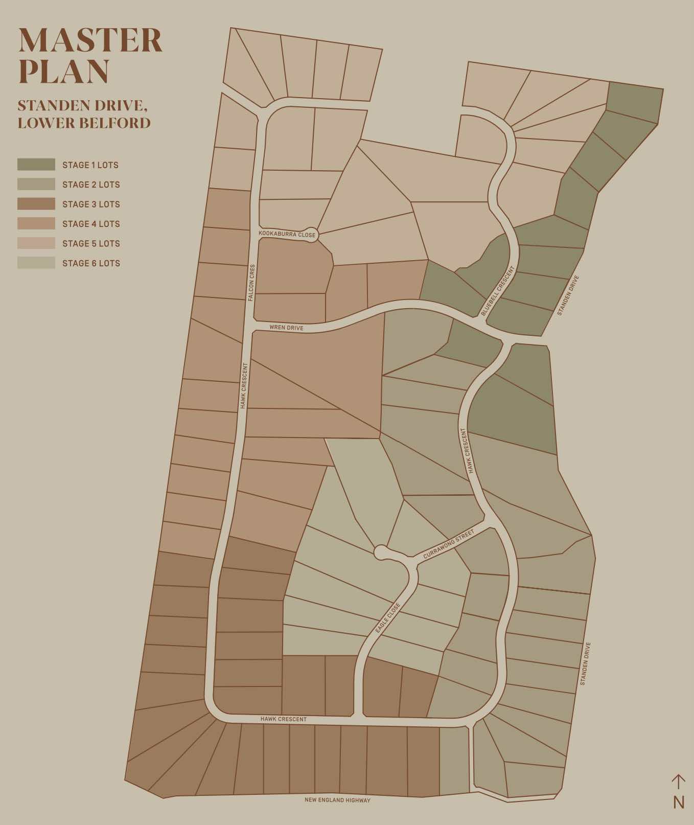
| Total new homes | |
| Area Size | 136.26 hectares |
| City Council | Singleton Council |
| Developer | N/A |
| Project Marketer | Urban Land Housing |
Updates for Murray's Rise Estate - Lower Belford


Popular Estates near Murray's Rise Estate - Lower Belford


Not exactly what you're looking for? Try surrounding suburbs
Greta NSW 2334
3 estates | Cessnock City Council
11.6km south-east
Branxton NSW 2335
2 estates | Singleton Council
4.8km south-east
North Rothbury NSW 2335
2 estates | Cessnock City Council
9.5km south-east
Hunterview NSW 2330
3 estates | Singleton Council
13.2km north-west
Rothbury NSW 2320
1 estate | Cessnock City Council
13.6km south
Sedgefield NSW 2330
1 estate | Singleton Council
9.1km north-west
Latest published articles


FAQs about Murray's Rise Estate - Lower Belford
Murray's Rise Estate - Lower Belford consists of 118 homes.
The total area for Murray's Rise Estate - Lower Belford is 136.26 hectares.
Murray's Rise Estate - Lower Belford falls under Singleton Council.
Urban Land Housing is the project marketer for Murray's Rise Estate - Lower Belford.
Nearby schools for Murray's Rise Estate - Lower Belford:
- Rosary Park Catholic School - 3.1km south-east
- Branxton Public School - 3.5km east
- Kirkton Public School - 4.9km north-west
- Greta Public School - 7.6km south-east
- Lochinvar Public School - 14.0km south-east
- St Joseph's College - 14.4km south-east