
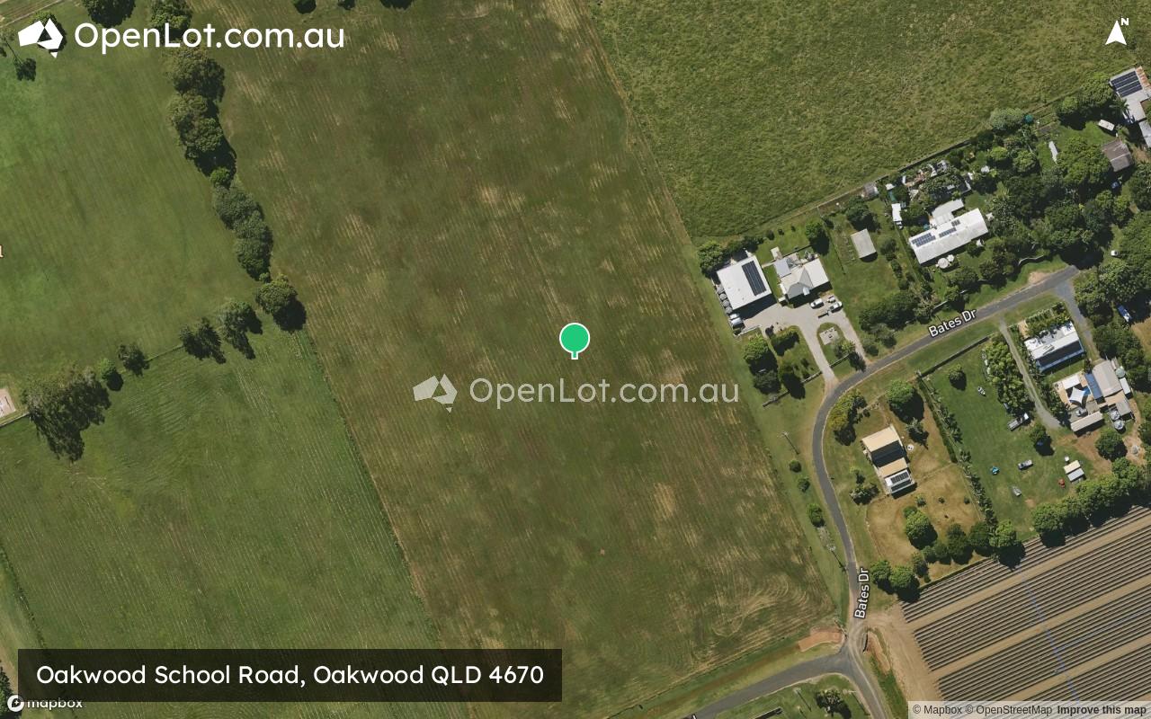
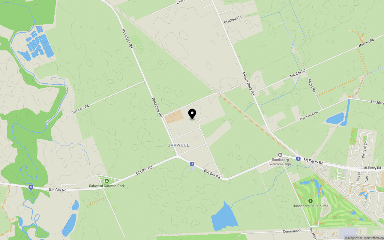
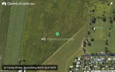
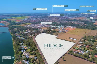
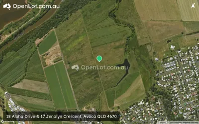
Location & Map for Oakwood School Road, Oakwood QLD 4670
Schools near Oakwood School Road, Oakwood QLD 4670
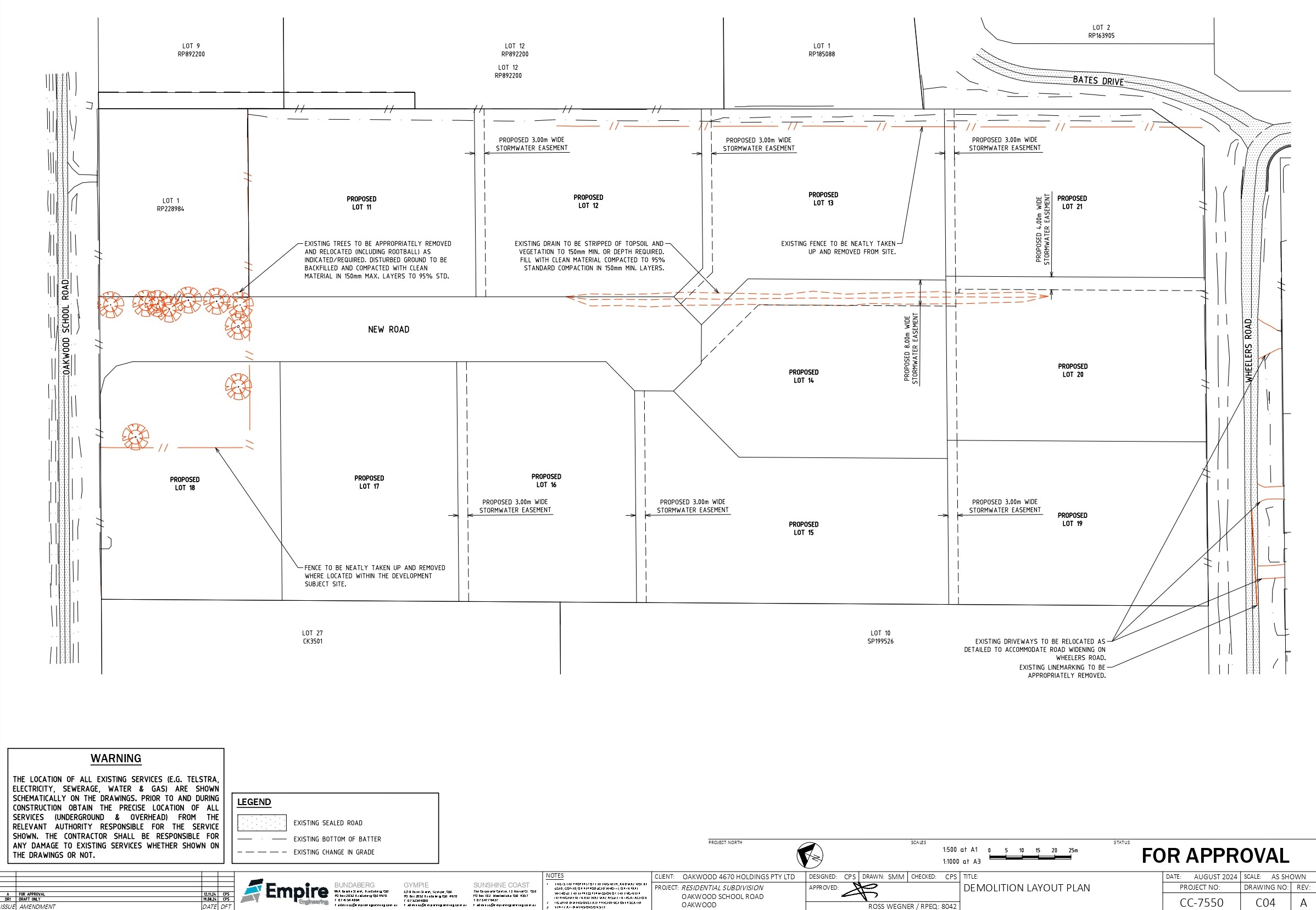
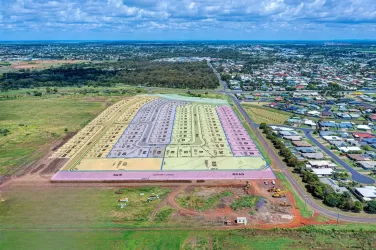
Overview
This information is estimated by the OpenLot research team. Let us know here to provide up-to-date information about this development.
| Total new homes | |
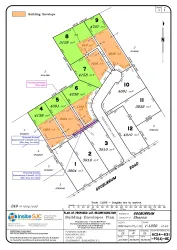
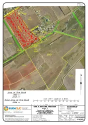
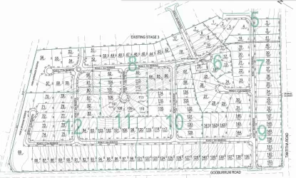
| Area Size | 4.91 hectares |
| Growth Region | Hervey Bay (Wide Bay–Burnett Region) |
| City Council | Bundaberg Regional Council |
| Developer | N/A |
Updates for Oakwood School Road, Oakwood
Popular Estates near Oakwood School Road, Oakwood


Not exactly what you're looking for? Try surrounding suburbs
Gooburrum QLD 4670
5 estates | Bundaberg Regional Council
3.7km north-east
Branyan QLD 4670
2 estates | Bundaberg Regional Council
7.5km south
Norville QLD 4670
1 estate | Bundaberg Regional Council
6.7km south-east
Kalkie QLD 4670
3 estates | Bundaberg Regional Council
9.2km east
Bundaberg North QLD 4670
2 estates | Bundaberg Regional Council
5.0km east
Avoca QLD 4670
1 estate | Bundaberg Regional Council
3.6km south-east
Latest published articles


FAQs about Oakwood School Road, Oakwood QLD 4670
Oakwood School Road, Oakwood QLD 4670 consists of 11 homes.
The total area for Oakwood School Road, Oakwood QLD 4670 is 4.91 hectares.
Oakwood School Road, Oakwood QLD 4670 falls under Bundaberg Regional Council.
Nearby schools for Oakwood School Road, Oakwood QLD 4670:
- Oakwood State School - 343m west
- Gooburrum State School - 2.4km north
- Hope Adventist School - 2.9km east
- Bundaberg North State High School - 3.6km east
- Bundaberg North State School - 3.7km east
- Avoca State School - 4.5km south