
Property types for sale
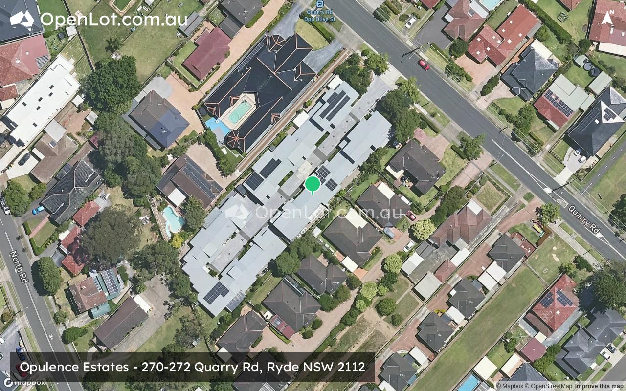
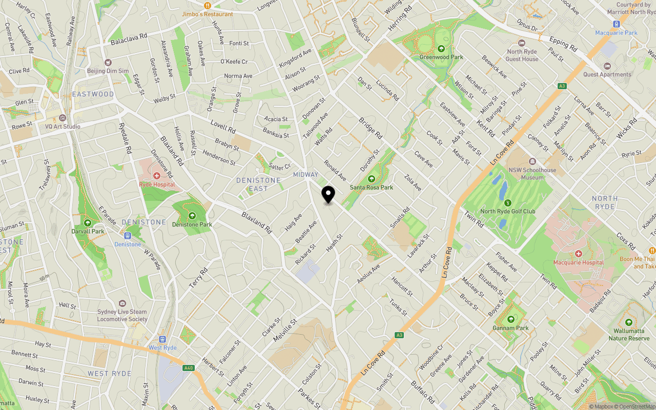
Location & Map for Opulence Estates - Ryde
Schools near Opulence Estates - Ryde
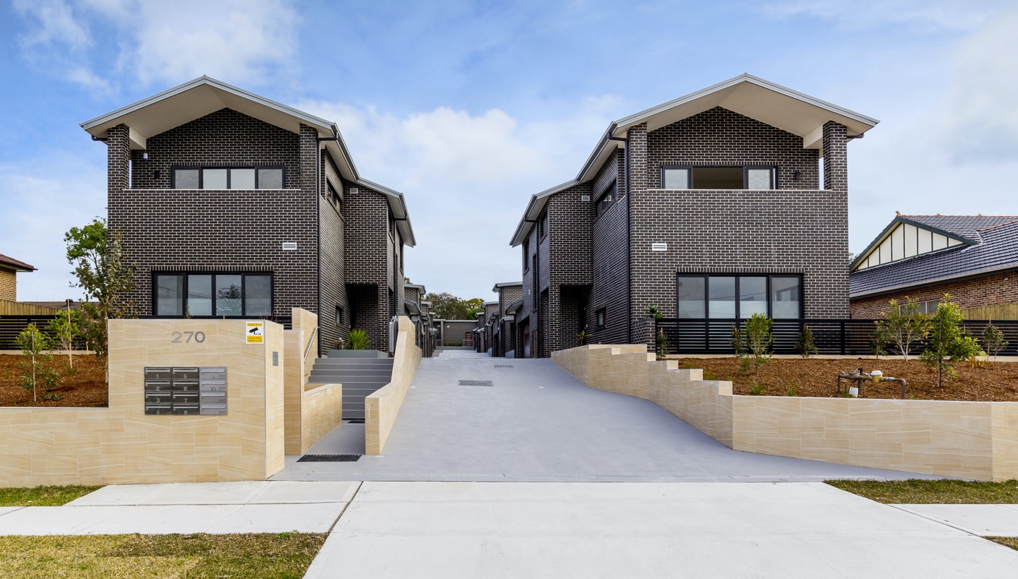
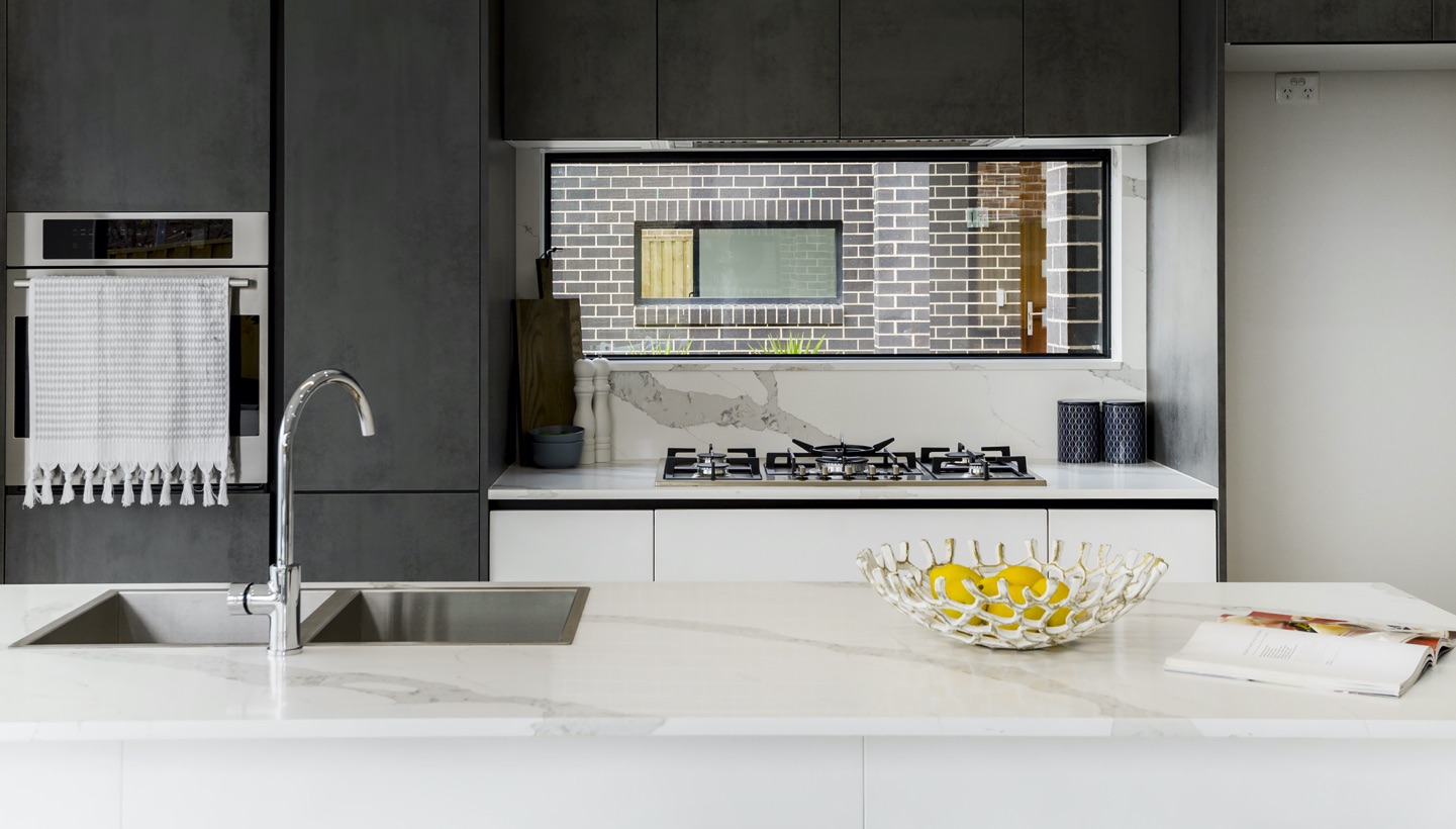
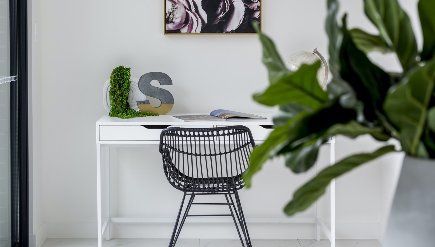
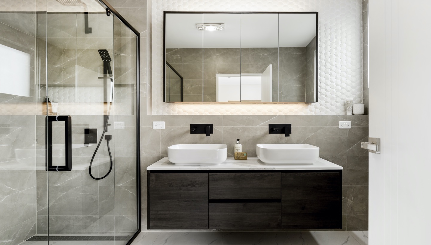
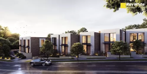
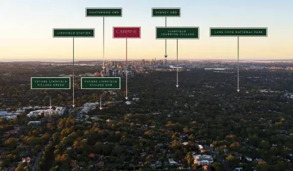
Overview
This information is estimated by the OpenLot research team. Let us know here to provide up-to-date information about this development.
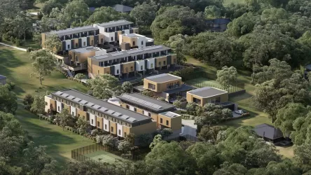
| Total new homes | |
| Area Size | 0.31 hectares |
| Growth Region | Sydney North West Growth Areas |
| City Council | Ryde City Council |
| Developer | HYG |
| Distance to |
Popular Estates near Opulence Estates - Ryde


Not exactly what you're looking for? Try surrounding suburbs
Eastwood NSW 2122
1 estate | Ryde City Council
4.0km north-west
West Ryde NSW 2114
1 estate | Ryde City Council
2.9km west
Breakfast Point NSW 2137
1 estate | City of Canada Bay Council
3.8km south
Lindfield NSW 2070
4 estates | Ku-ring-gai Council
5.0km north-east
Putney NSW 2112
1 estate | Ryde City Council
1.9km south
Lane Cove NSW 2066
1 estate | Lane Cove Council
4.6km east
Latest published articles


FAQs about Opulence Estates - Ryde
HYG is the developer behind Opulence Estates - Ryde.
Opulence Estates - Ryde consists of 10 homes.
The total area for Opulence Estates - Ryde is 0.31 hectares.
Opulence Estates - Ryde falls under Ryde City Council.
Opulence Estates - Ryde is 11 km north-west of Sydney CBD.
Nearby schools for Opulence Estates - Ryde:
- Smalls Road Public School - 519m south-east
- Denistone East Public School - 795m north-west
- St Therese's Catholic Primary School - 945m west
- Northcross Christian School - 1.2km south-east
- Kent Road Public School - 1.2km north
- North Ryde Public School - 1.5km east