
Property types for sale
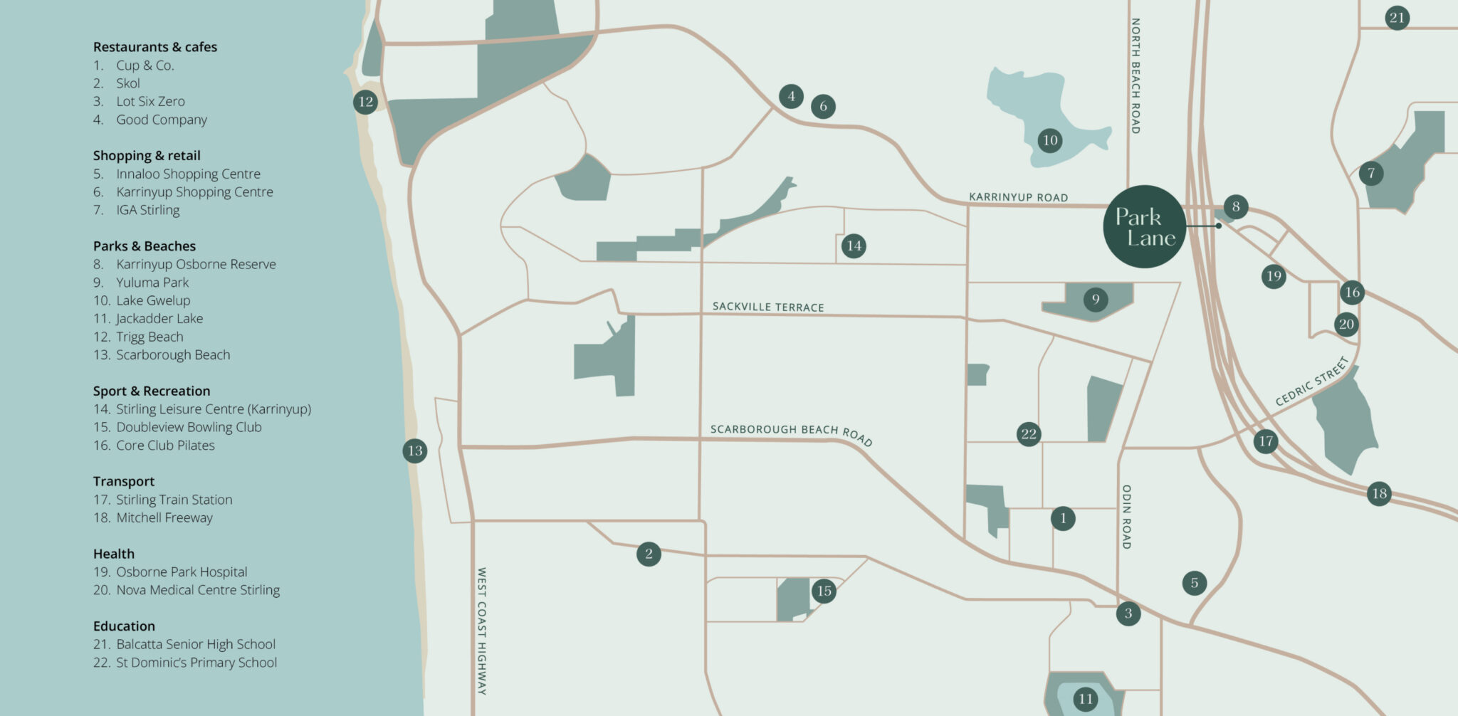
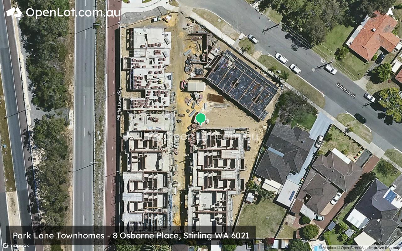
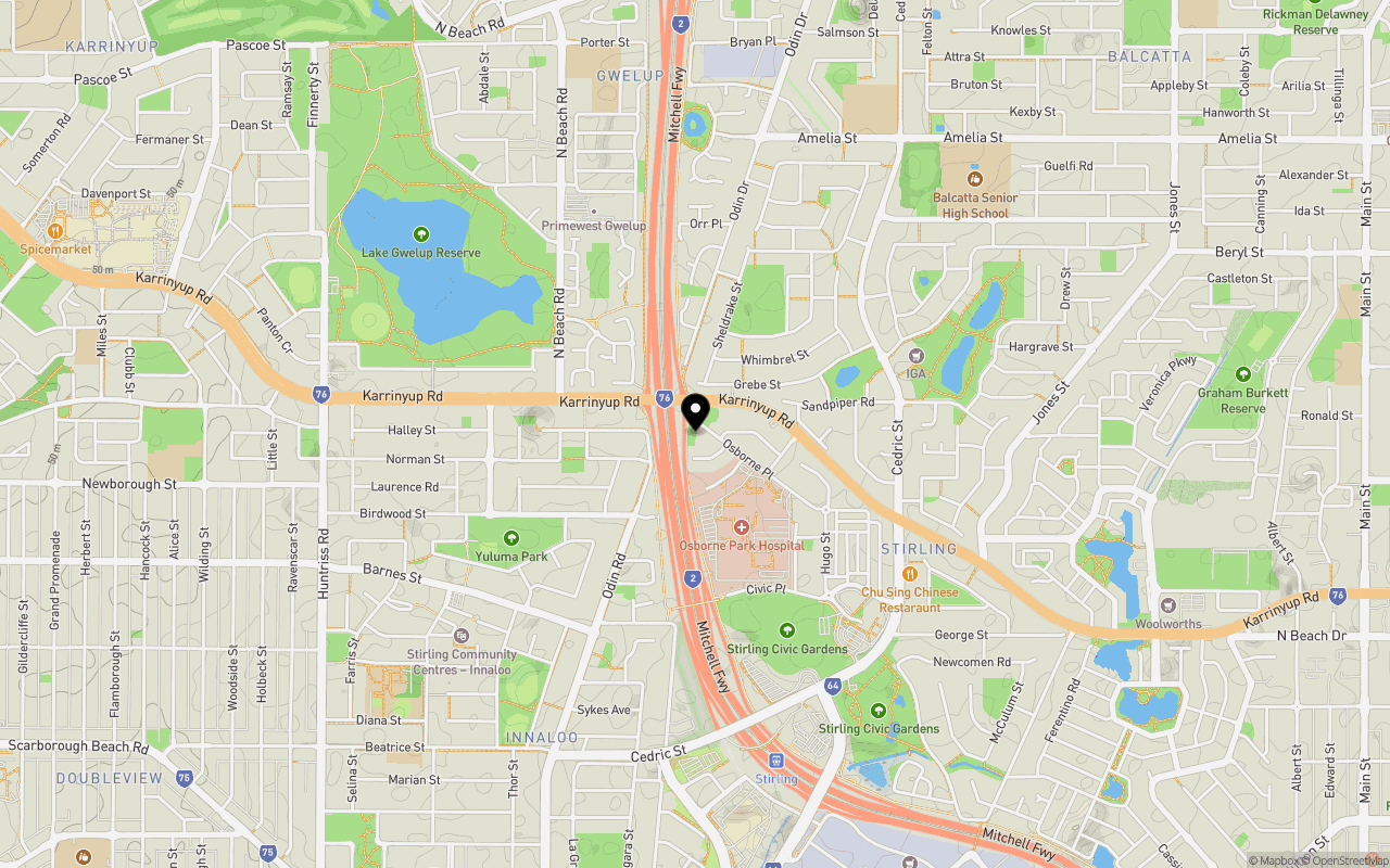
Location & Map for Park Lane Townhomes - Stirling
Schools near Park Lane Townhomes - Stirling
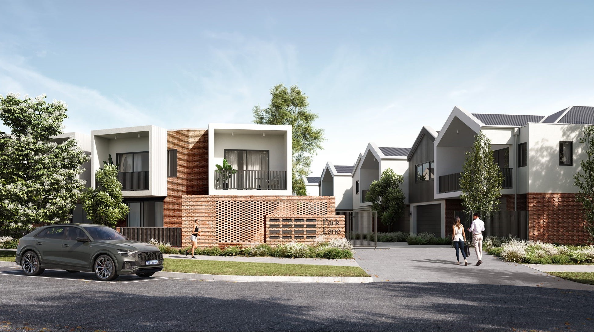
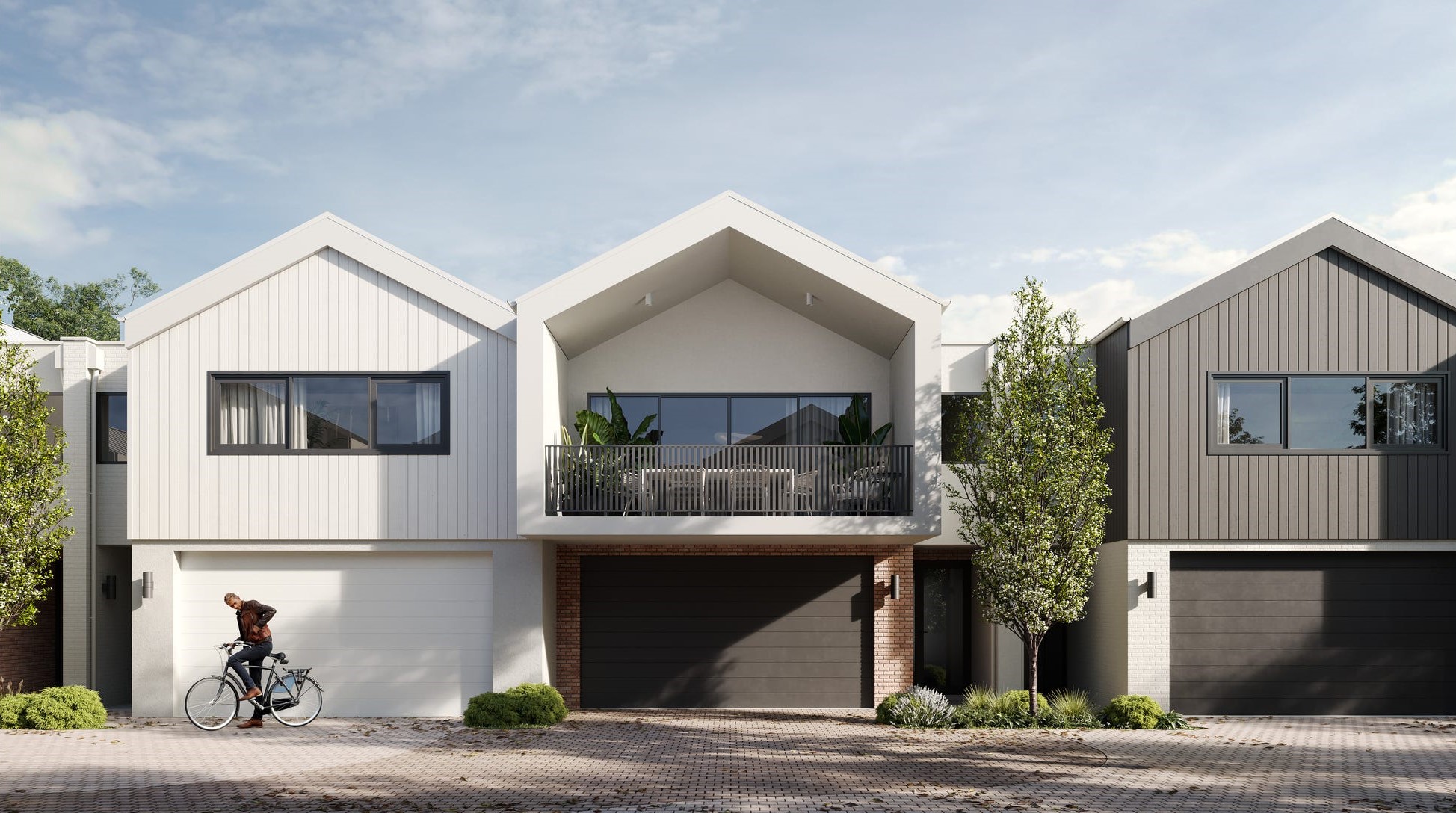
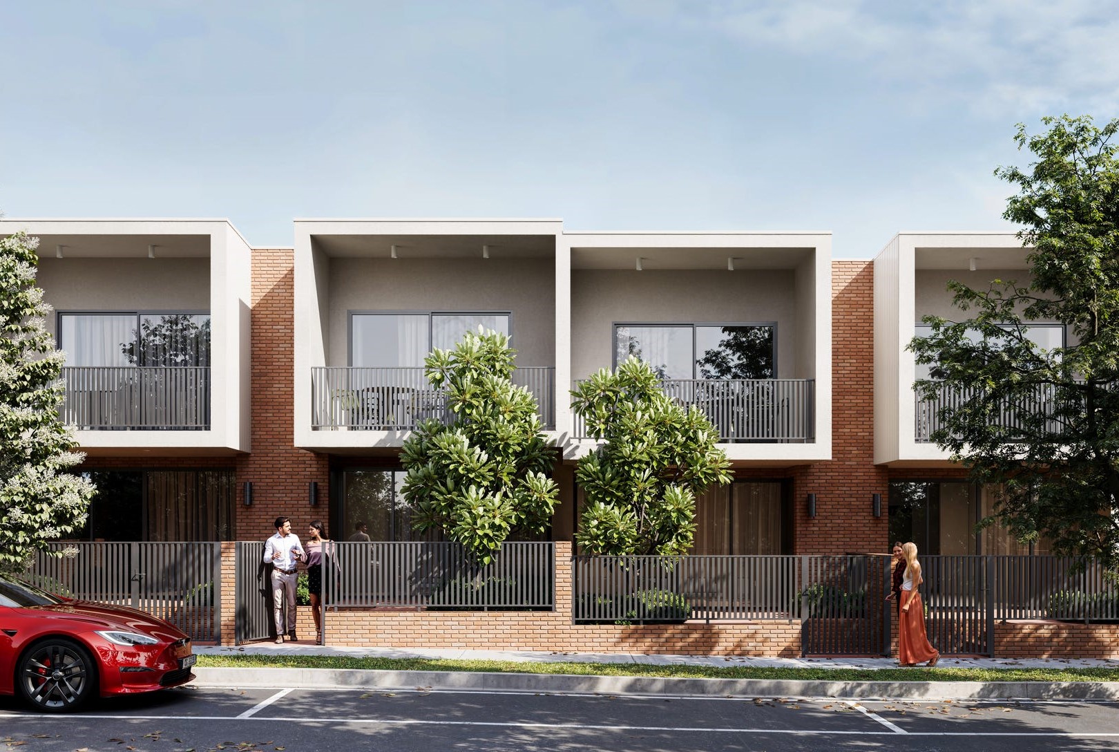
Overview
This information is estimated by the OpenLot research team. Let us know here to provide up-to-date information about this development.
| Total new homes | |
| Area Size | 0.37 hectares |
| Growth Region | Perth North West Growth Areas |
| City Council | City of Stirling |
| Developer | Locus Development Group |
| Project Marketer | Hive Residential |
| Creative Agency | Brandform |
Updates for Park Lane Townhomes - Stirling
Popular Estates near Park Lane Townhomes - Stirling


Not exactly what you're looking for? Try surrounding suburbs
Tuart Hill WA 6060
1 estate | City of Stirling
2.3km south-east
Balcatta WA 6021
1 estate | City of Stirling
1.3km north
Glendalough WA 6016
2 estates | City of Stirling
3.9km south
Churchlands WA 6018
1 estate | City of Stirling
4.6km south-west
Scarborough WA 6019
0 estates
4.7km west
Gwelup WA 6018
1 estate | City of Stirling
2.4km north-west
Latest published articles


FAQs about Park Lane Townhomes - Stirling
Locus Development Group is the developer behind Park Lane Townhomes - Stirling.
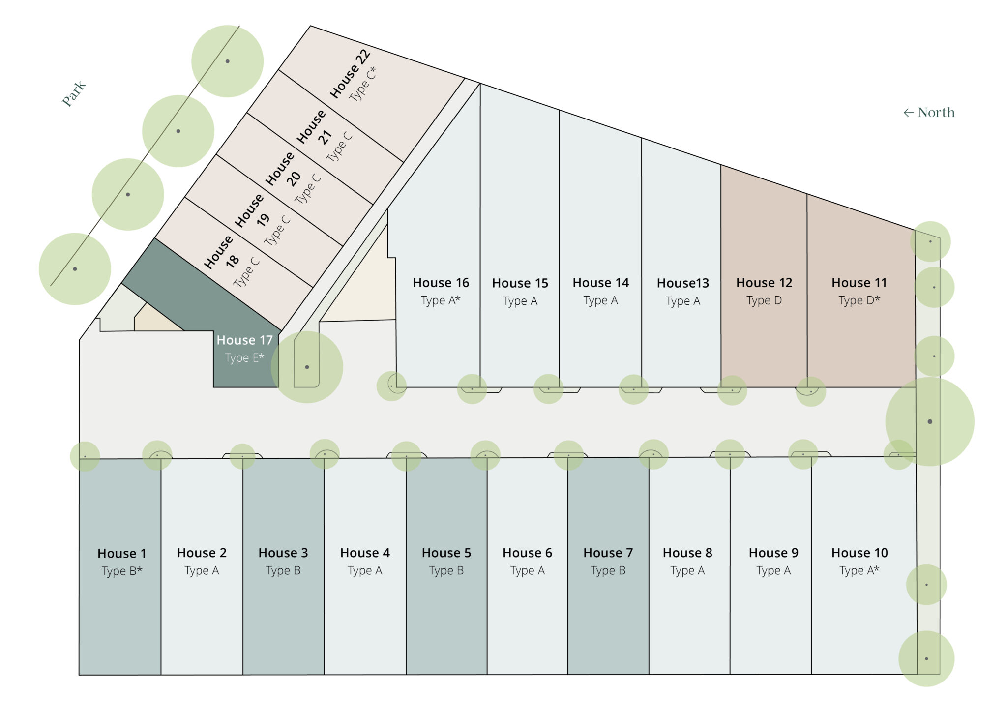
Park Lane Townhomes - Stirling consists of 22 homes.
The total area for Park Lane Townhomes - Stirling is 0.37 hectares.
Park Lane Townhomes - Stirling falls under City of Stirling.
Hive Residential is the project marketer for Park Lane Townhomes - Stirling.
Nearby schools for Park Lane Townhomes - Stirling:
- Balcatta Senior High School - 1.3km north-east
- West Balcatta Primary School - 1.4km north-east
- Lake Gwelup Primary School - 1.4km north
- Yuluma Primary School - 1.5km south-west
- St Dominic's School - 1.6km south-west
- Newborough Primary School - 2.0km west