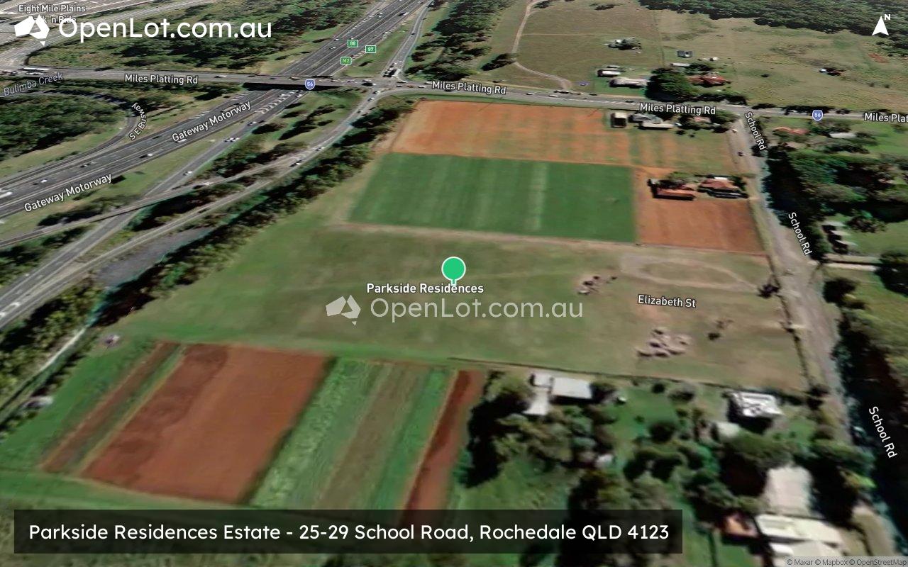
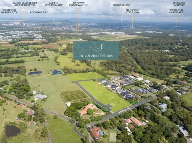
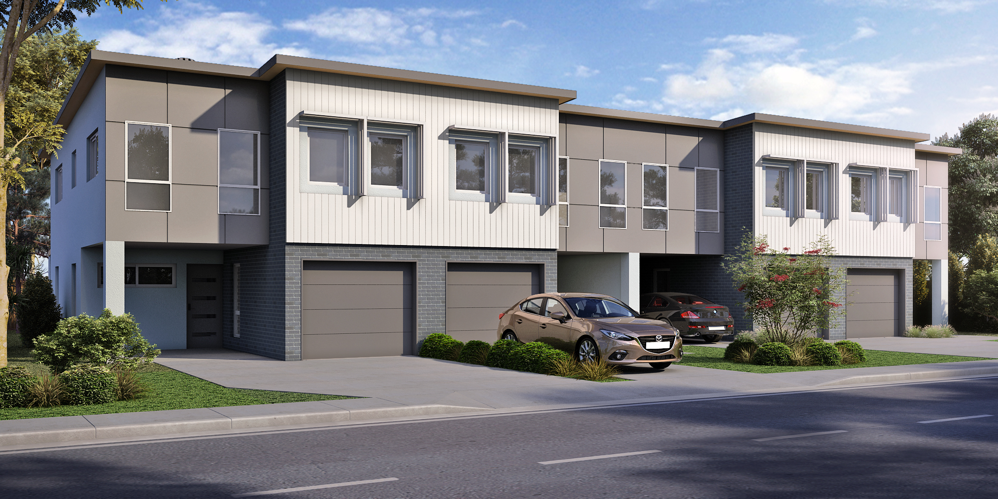
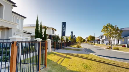
Parkside Residences Estate - Rochedale SOLD OUT
Townhouses
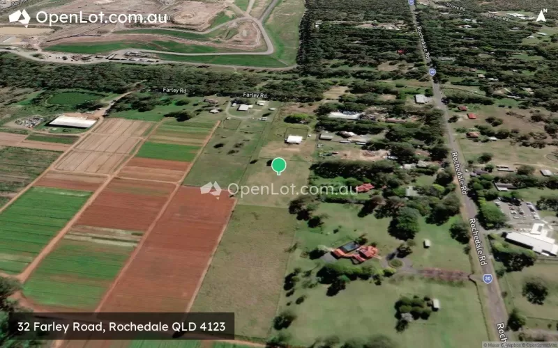
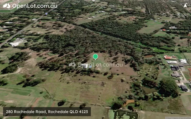
25-29 School Road, Rochedale QLD 4123
The information provided in relation to this development has been obtained from publicly available sources and has not been verified or in any way endorsed by the developer. OpenLot.com.au has not been authorised by the developer to market this land estate on behalf of the developer or the vendors or any other third party.
If you're the developer or authorised agent, contact us now to activate your project.
This information is estimated by the OpenLot research team. Let us know here to provide up-to-date information about this development.
| Total new homes | 85 |
| Area size | 2.50 hectares |
| Growth Region | Greater Brisbane Growth Areas |
| City council | Brisbane City Council |
| Developer | N/A |
| Distance to | Brisbane CBD - 15 km south-east Brisbane Airport - 21 km south |
Townhomes:
Popular Estates near Parkside Residences Estate - Rochedale

 5
5
 3
3
 2
2
Updates for Parkside Residences Estate - Rochedale
Facebook updates:
Submit the Facebook page for Parkside Residences Estate - Rochedale.
Related news:
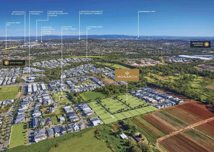
CONSTRUCTION HAS COMMENCED. Parkside Residences, 25 School Road is an upcoming development from Heran Building Group in the growing suburb of Rochedale, in South-East Brisbane. Located near the M1, Rochedale is a 30 min drive to the Brisbane CBD, with neighboring suburbs including Carindale, Mount Gravatt and Springwood.
Missing articles? Send us a link here.
Location & Map for Parkside Residences Estate - Rochedale
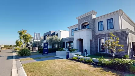
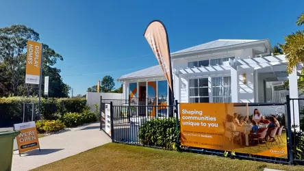
Visit Display Homes near Parkside Residences Estate - Rochedale
Vacancy Rate in Rochedale QLD 4123
View full vacancy rate history in Rochedale QLD 4123 via SQM Research.
Schools near Parkside Residences Estate - Rochedale
Here are 6 schools near Parkside Residences Estate - Rochedale:
7-12 Government Secondary School
Prep-6 Government Primary School
Prep-12 Independent Combined School
Prep-6 Government Primary School
Prep-6 Catholic Primary School
Prep-6 Government Primary School
Reviews & Comments on Parkside Residences Estate - Rochedale
FAQs about Parkside Residences Estate - Rochedale
- Rochedale State High School - 777m south-east
- Eight Mile Plains State School - 1.5km south
- Redeemer Lutheran College - 1.7km east
- Rochedale State School - 1.8km east
- St Peter's Primary School - 2.1km south-east
- Warrigal Road State School - 2.2km west
Popular Estates near Parkside Residences Estate - Rochedale
Latest New Home Articles for You

19/Aug/2025 | OpenLot.com.au
🏡 Suburb Profile: Beveridge
Beveridge is within the Mitchell Shire, located 42 kilometres north of Me...
19/Aug/2025 | OpenLot.com.au
test2
19/Aug/2025 | OpenLot.com.au
tests
13/Jun/2025 | OpenLot.com.au
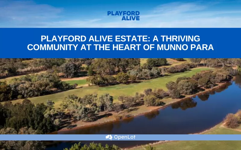
Display Homes at Playford Alive Estate: A Thriving Community at the Heart of Munno Para
Welcome to Playford Alive, a vibrant and dynamic masterplanned community ...
11/Jun/2025 | OpenLot.com.au
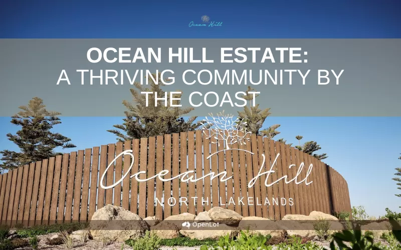
Display Homes at Ocean Hill Estate: A Thriving Community by the Coast
A short stroll from the white sands of Madora Beach and fringed by the co...
10/Jun/2025 | OpenLot.com.au
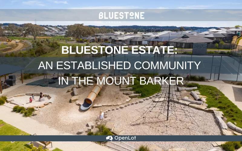
Display Homes at Bluestone Estate: An Established Community in the Mount Barker
Whether you’re a first home buyer, a growing family, or looking to downsi...

09/Jun/2025 | OpenLot.com.au
Queensland Leads, But NSW and VIC Fall Behind, in New Housing Buyer Demand Index
New data reveals that Australia’s new housing market remains resilient de...
06/Jun/2025 | OpenLot.com.au
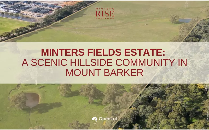
Display Homes at Minters Fields Estate: A Scenic Hillside Community in Mount Barker
Nestled in the heart of Mount Barker, Minters Fields offers a truly remar...
03/Jun/2025 | OpenLot.com.au
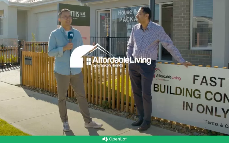
🏡 Step Inside a Frenken Home at Smiths Lane
During a recent visit to the Smiths Lane display village, OpenLot.com.au ...