
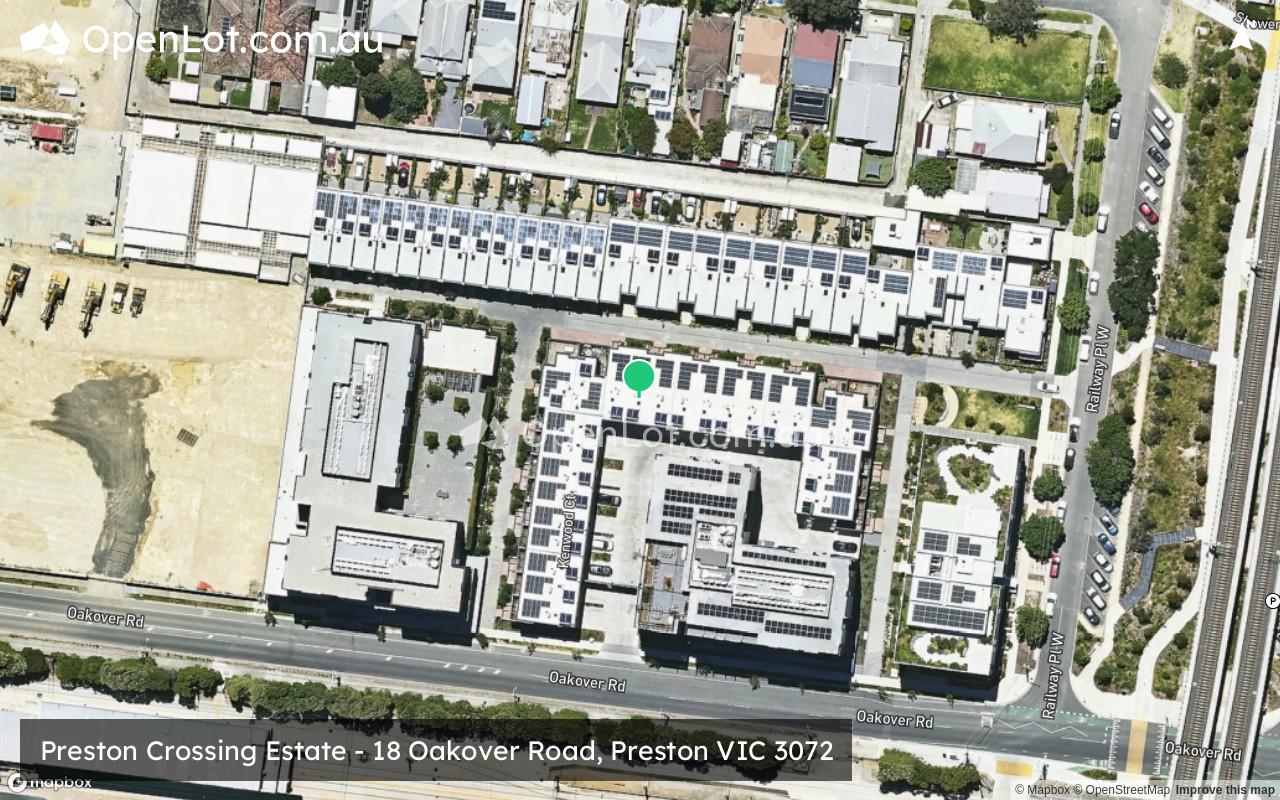
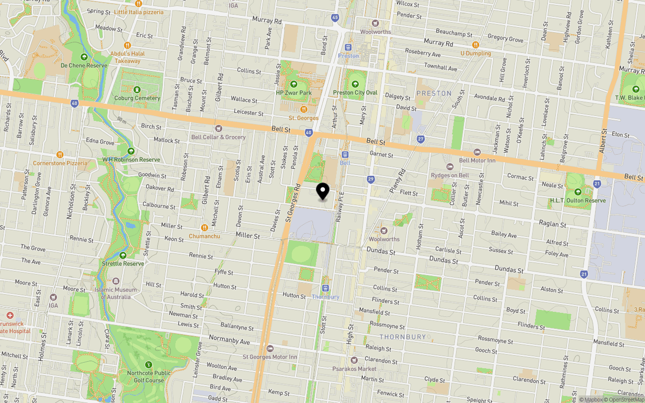
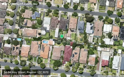
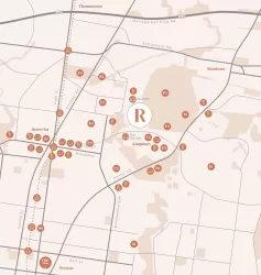
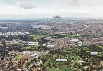
Location & Map for Preston Crossing Estate - Preston
Schools near Preston Crossing Estate - Preston
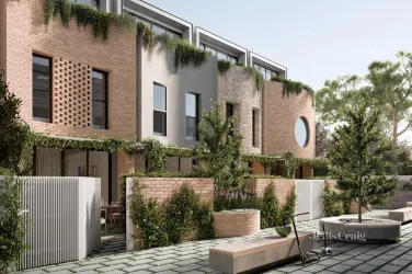
Overview
This information is estimated by the OpenLot research team. Let us know here to provide up-to-date information about this development.
| Total new homes | |
| Area Size | N/A |
| Growth Region | Melbourne North Growth Corridor |
| City Council | Darebin City Council |
| Developer | MAB |
| Project Marketer | Jellis Craig Projects |
| Distance to |
Updates for Preston Crossing Estate - Preston

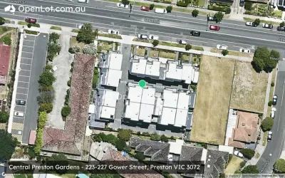
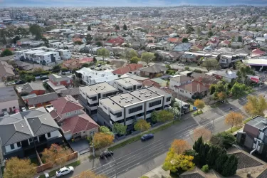
Popular Estates near Preston Crossing Estate - Preston


Not exactly what you're looking for? Try surrounding suburbs
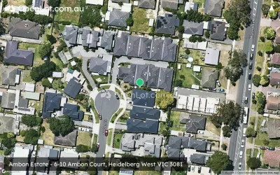
Heidelberg West VIC 3081
1 estate | Banyule City Council
2.4km east
Reservoir VIC 3073
19 estates | Darebin City Council
3.4km north
Kingsbury VIC 3083
1 estate | Darebin City Council
3.7km north-east
Northcote VIC 3070
3 estates | Darebin City Council
3.5km south
Bellfield VIC 3081
3 estates | Banyule City Council
3.4km east
Brunswick East VIC 3057
1 estate | Merri-bek City Council
3.6km south-west
Latest published articles


FAQs about Preston Crossing Estate - Preston
MAB is the developer behind Preston Crossing Estate - Preston.
Preston Crossing Estate - Preston consists of 26 homes.
Preston Crossing Estate - Preston falls under Darebin City Council.
Preston Crossing Estate - Preston is 8 km north of Melbourne CBD.
Jellis Craig Projects is the project marketer for Preston Crossing Estate - Preston.
Nearby schools for Preston Crossing Estate - Preston:
- St John's College Preston - 339m north
- Sacred Heart School - 679m north-east
- Bell Primary School - 684m west
- Thornbury Primary School - 712m south
- Preston South Primary School - 813m east
- St Mary's School - 904m south