
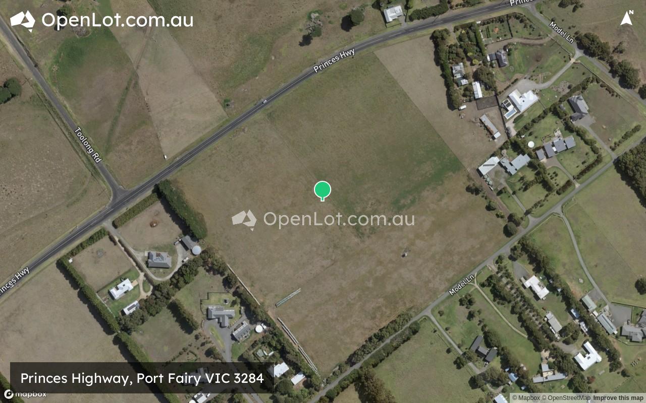
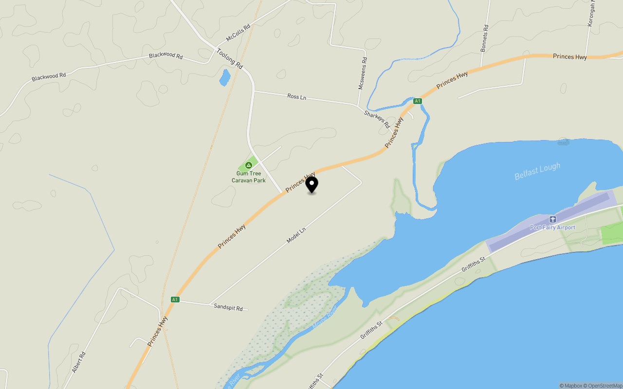
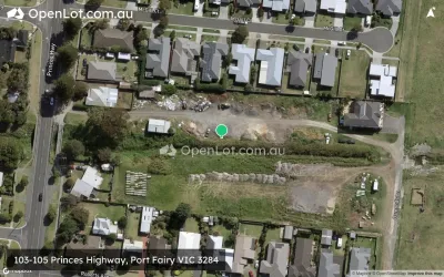
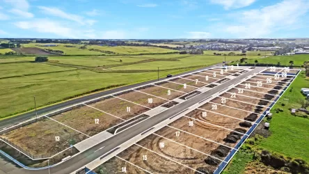
Location & Map for Princes Highway, Port Fairy VIC 3284
Schools near Princes Highway, Port Fairy VIC 3284
Overview
This information is estimated by the OpenLot research team. Let us know here to provide up-to-date information about this development.
| Total new homes | |
| Area Size | 7.88 hectares |
| City Council | Moyne Shire Council |
| Developer | N/A |
Land Price Trend in Port Fairy VIC 3284
Below shows the price trend from vacant land sales recorded in Port Fairy VIC 3284.
The data and information provided by Terralytics (Aust) Pty Ltd (Terralytics Data) is general in nature and is not intended to constitute professional advice. Read more
It should not be relied upon as a substitute for legal, financial, valuation, or other specialist advice relevant to your specific circumstances.
Terralytics uses commercially reasonable endeavours to ensure the Terralytics Data is current and accurate. However, as the Terralytics Data incorporates information sourced from third parties, Terralytics makes no representation or warranty — express or implied — as to its accuracy, completeness, or currency. To the maximum extent permitted by applicable law, Terralytics excludes all liability for any loss or damage (including consequential loss) arising out of or in connection with reliance on the Terralytics Data, whether arising in contract, tort (including negligence), statute, or otherwise.
Popular Estates near Princes Highway, Port Fairy


Not exactly what you're looking for? Try surrounding suburbs
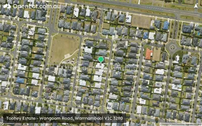
Warrnambool VIC 3280
23 estates | Warrnambool City Council
28.2km east
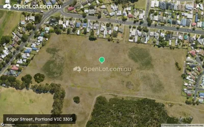
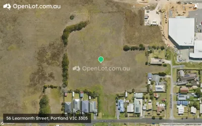
Portland VIC 3305
15 estates | Glenelg Shire Council
50.8km west
Koroit VIC 3282
2 estates | Moyne Shire Council
17.7km east
Dennington VIC 3280
3 estates | Warrnambool City Council
24.2km east
Mailors Flat VIC 3275
1 estate | Moyne Shire Council
24.5km east
Cudgee VIC 3265
1 estate | Moyne Shire Council
40.7km east
Latest published articles


FAQs about Princes Highway, Port Fairy VIC 3284
Princes Highway, Port Fairy VIC 3284 consists of 18 homes.
The total area for Princes Highway, Port Fairy VIC 3284 is 7.88 hectares.
Princes Highway, Port Fairy VIC 3284 falls under Moyne Shire Council.
Nearby schools for Princes Highway, Port Fairy VIC 3284:
- St Patrick's School - 3.3km south-west
- Port Fairy Consolidated School - 3.5km south-west
- St Patrick's School - 12.5km north-east
- Koroit And District Primary School - 12.9km north-east
- St John's School - 17.4km east
- Merrivale Primary School - 18.4km east