
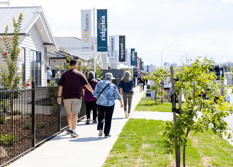
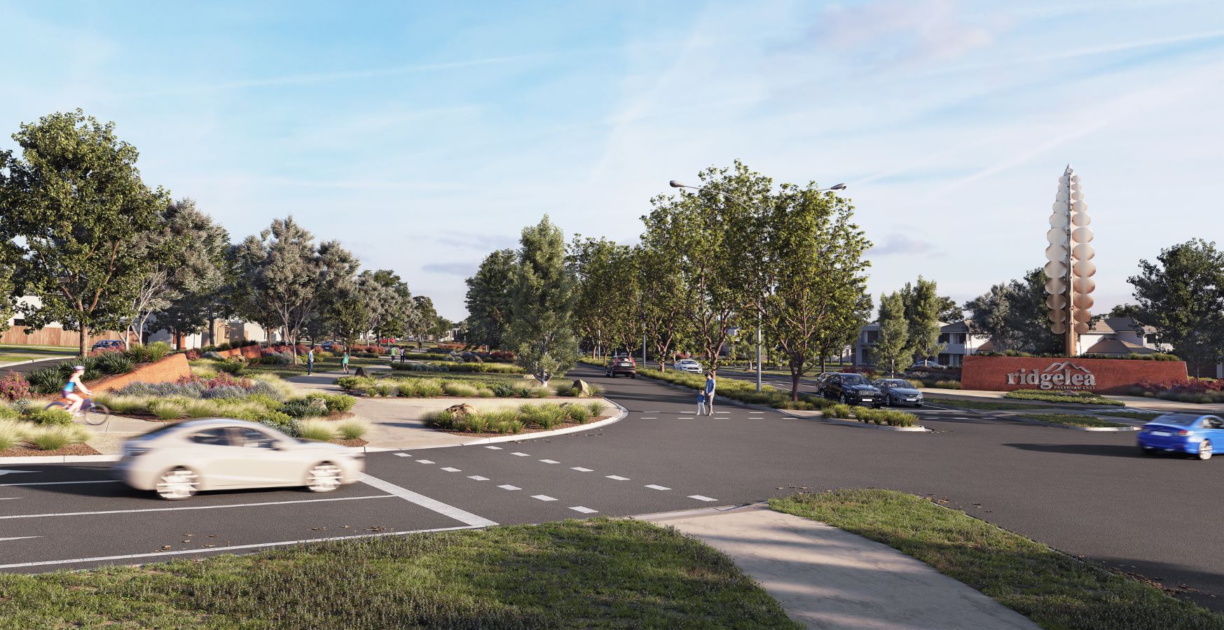
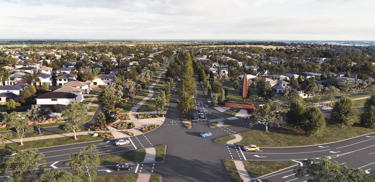
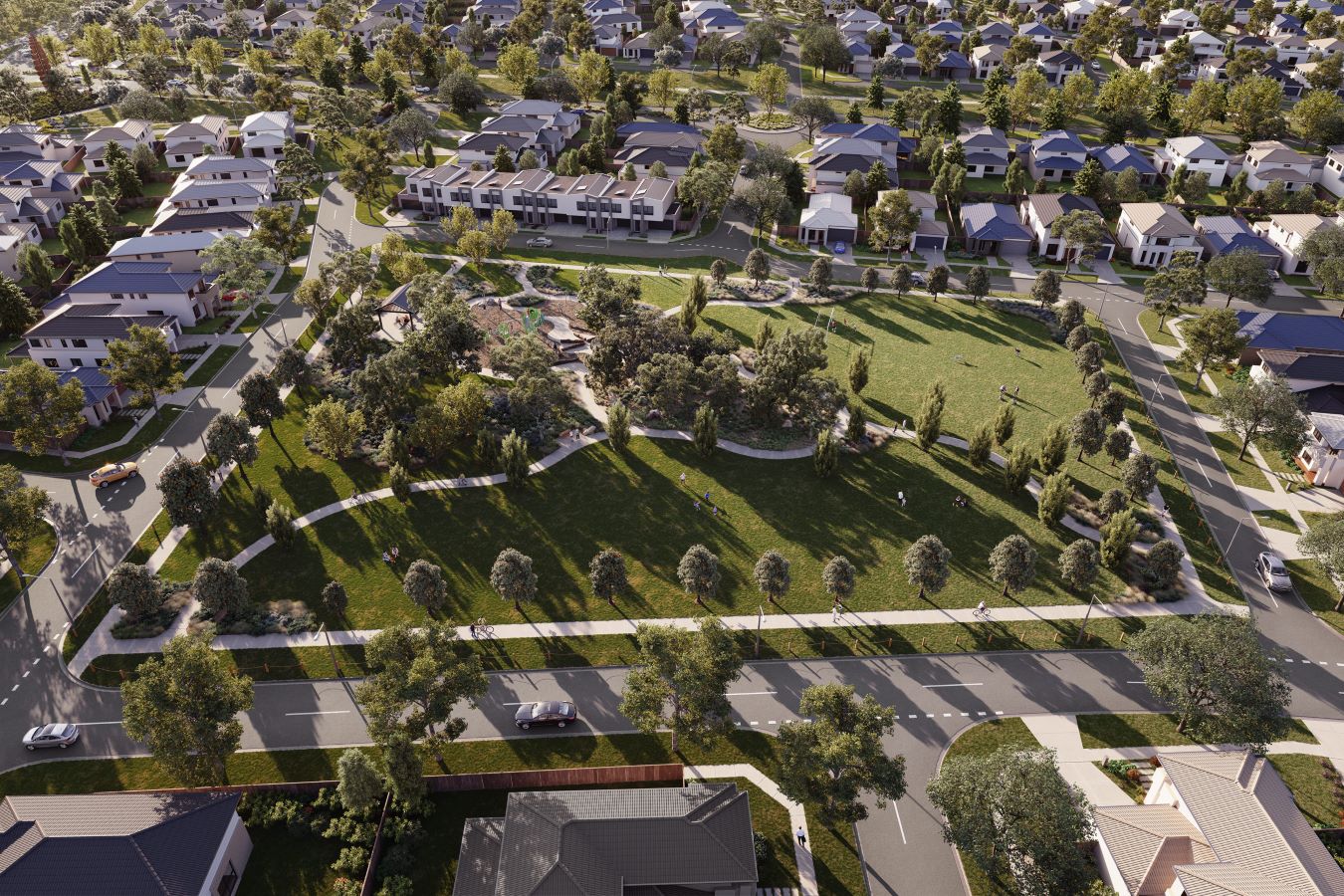
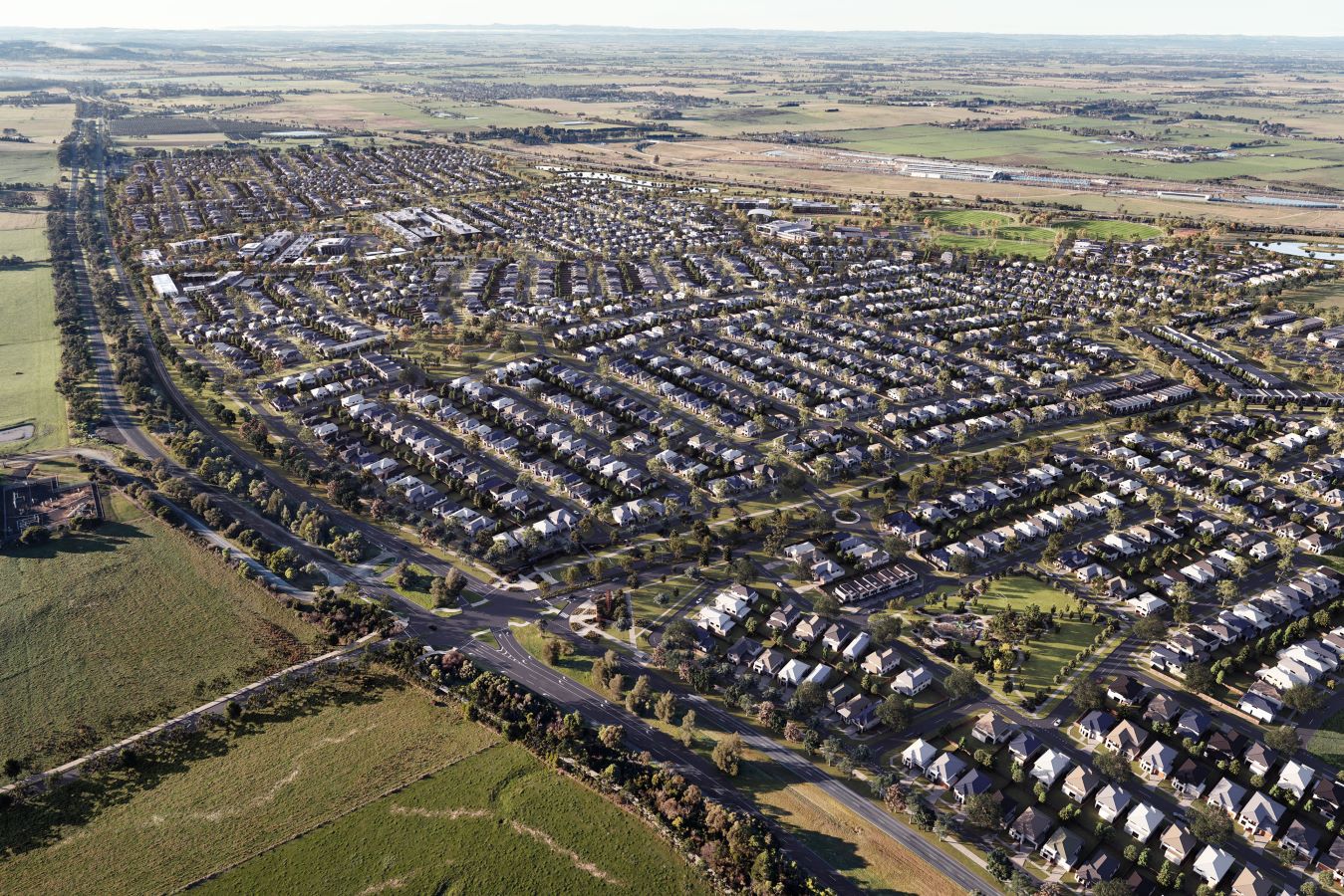
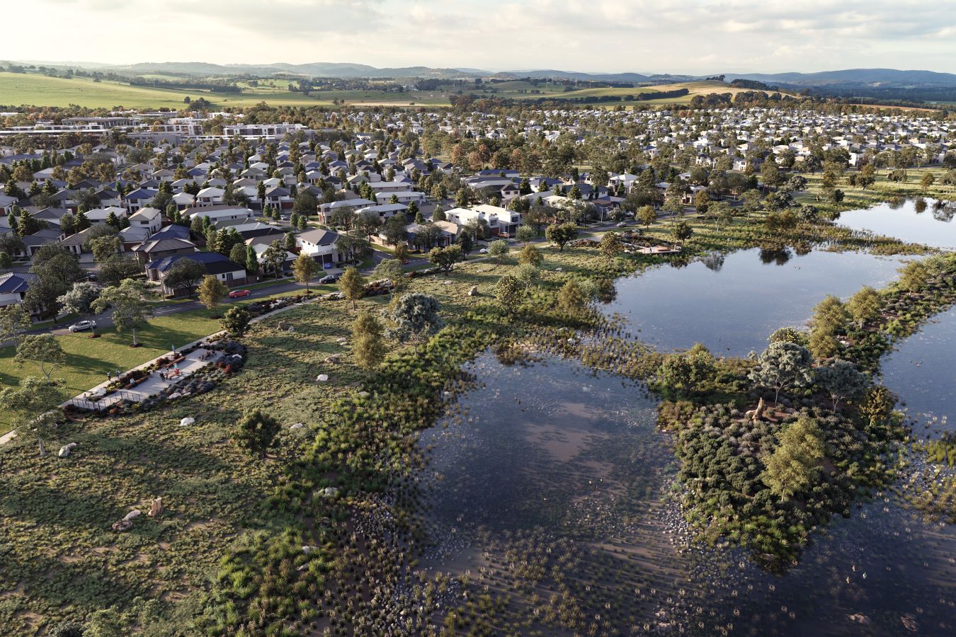
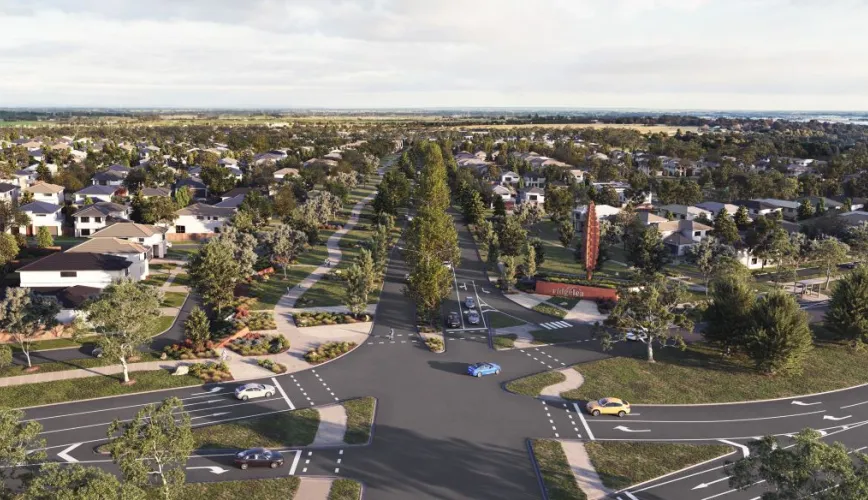
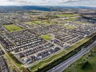
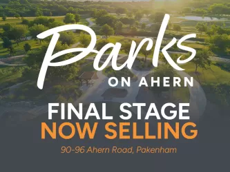
Ridgelea Estate - Pakenham East
[NEW RELEASE] Stage 17 "Sanctuary Precinct" Now Selling


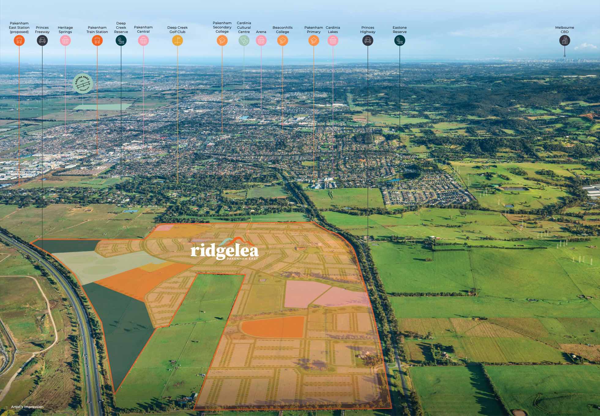
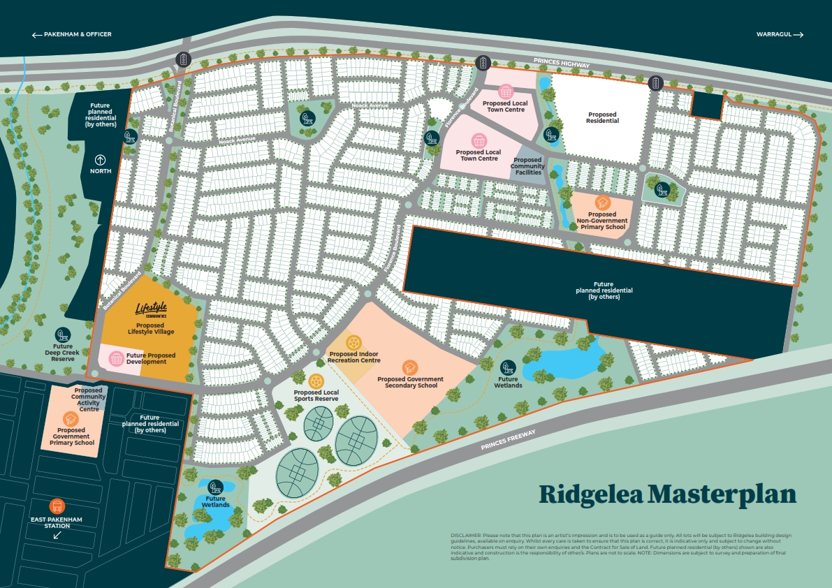
- Future Proposed Town Centre
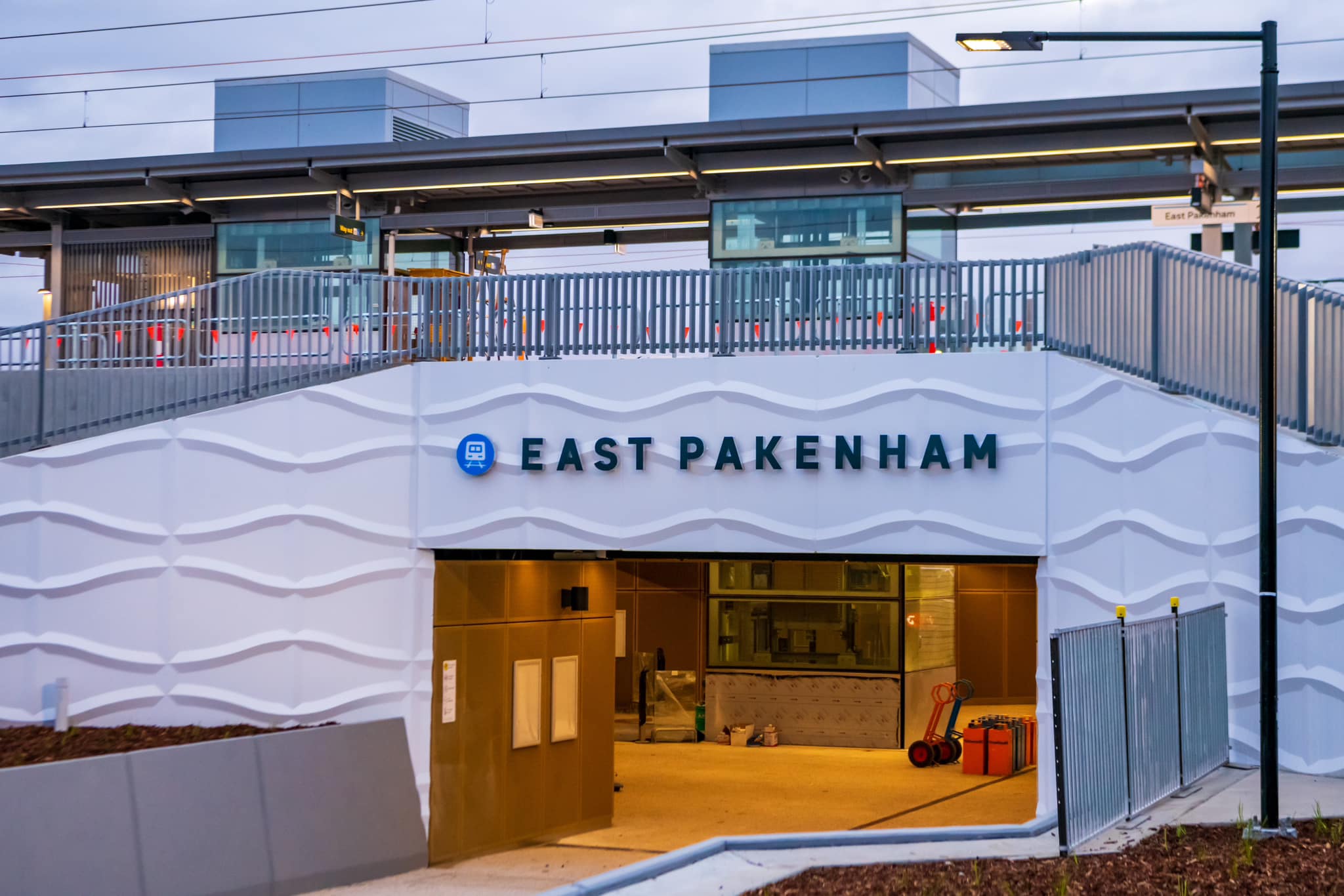
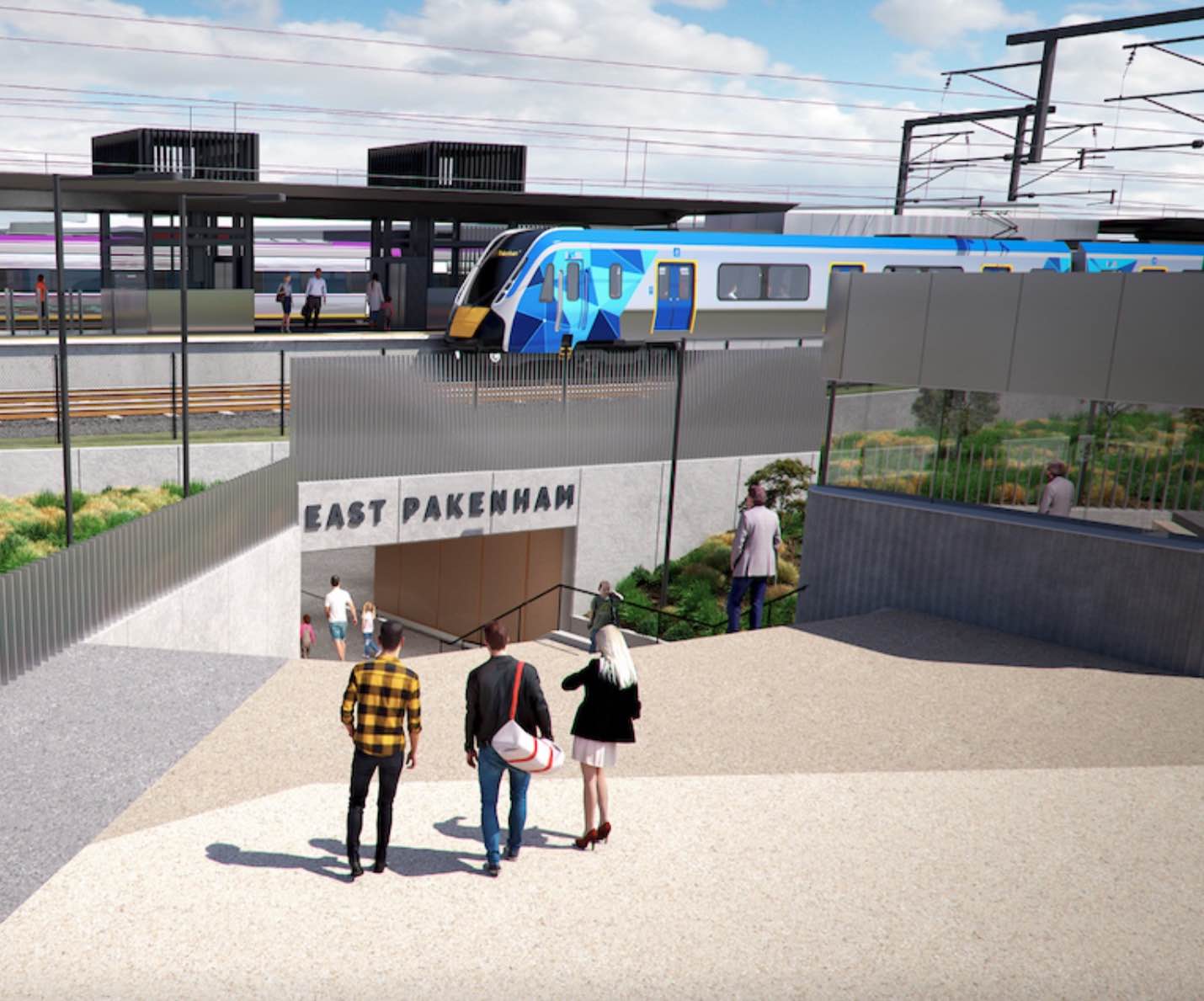
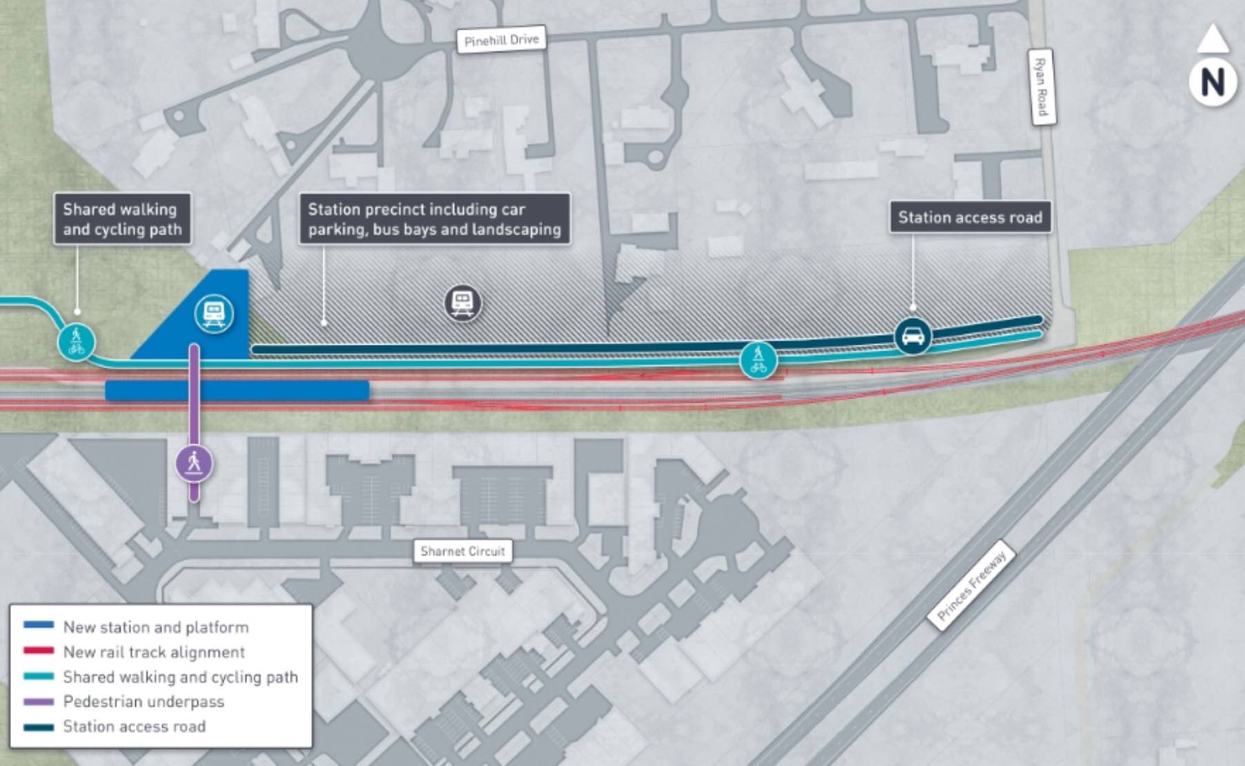
- Newly Opened East Pakenham Train Station, located 3 minutes to Ridgelea
- Future Proposed Secondary School, Non-Government Primary School & Childcare
- Rear & Corner Colorbond Fencing Included
- Landscaping & Security Rebates Available*
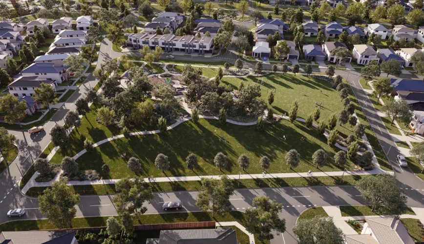
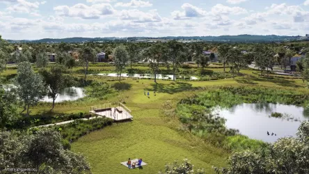
- 20% Green Open Spaces, parks, walking trails & wetlands
- A short 20 minute drive to nearby Westfield Fountain Gate Shopping Centre or the bustling suburb of Berwick
- Excellent freeway access means that Melbourne’s CBD is less than an hour away.
20 mins to Berwick
20 mins to Westfield Fountain Gate
35 mins to EastLink
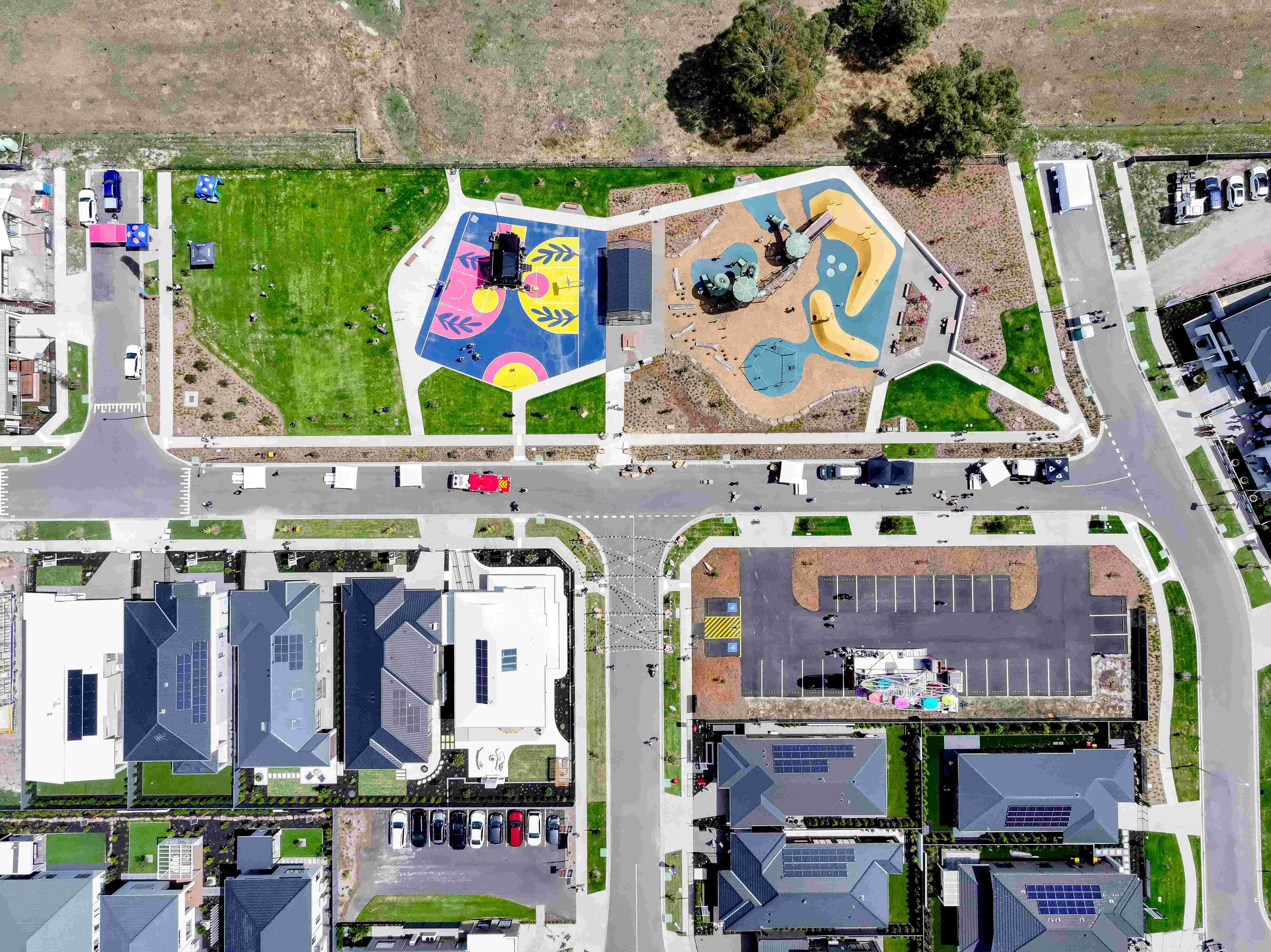
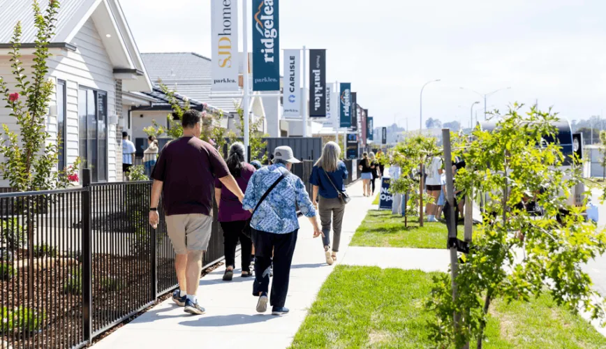
60 mins to CBD - 37 Home Display Village Now Open
Property types for sale
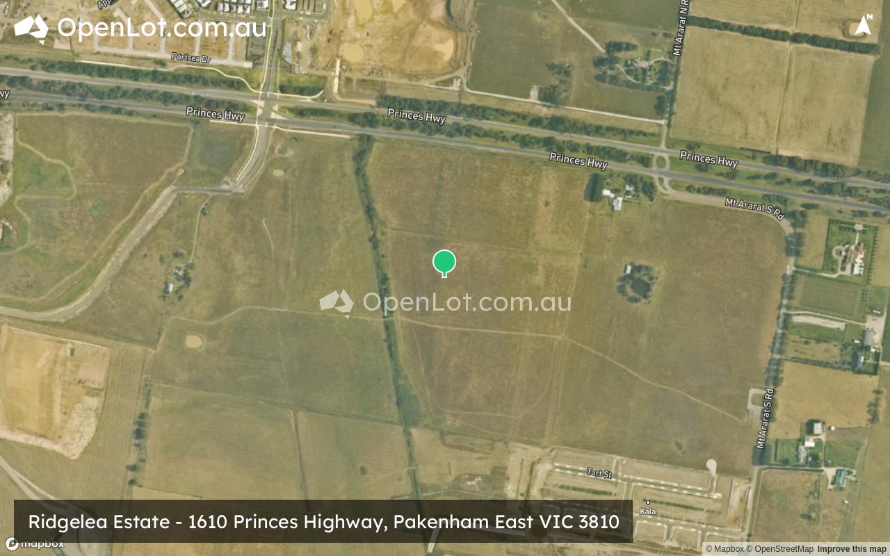
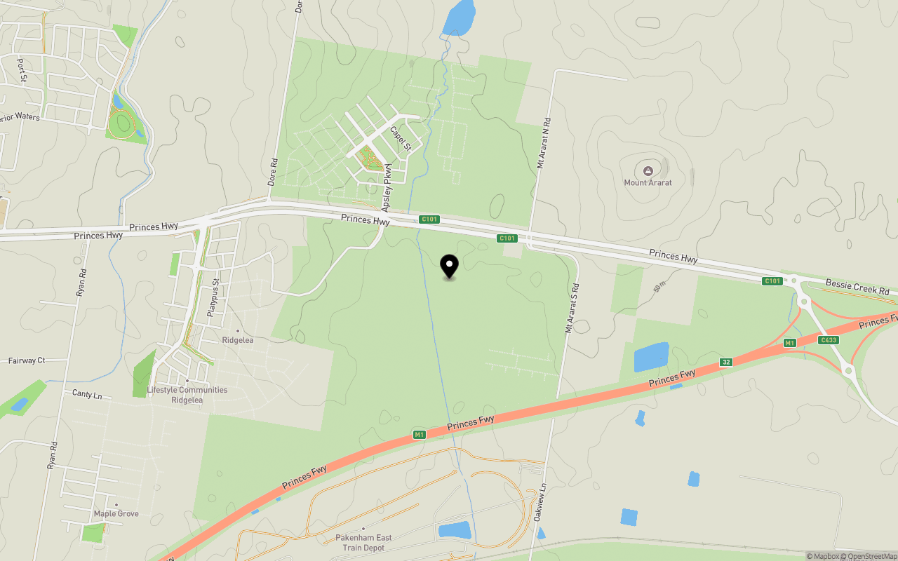
Location & Map for Ridgelea Estate - Pakenham East
Schools near Ridgelea Estate - Pakenham East
5 Land Lots in Ridgelea Estate - Pakenham East
5 House and Land Packages in Ridgelea Estate - Pakenham East
2 Townhouses in Ridgelea Estate - Pakenham East
3D Tour of Ridgelea Estate - Pakenham East
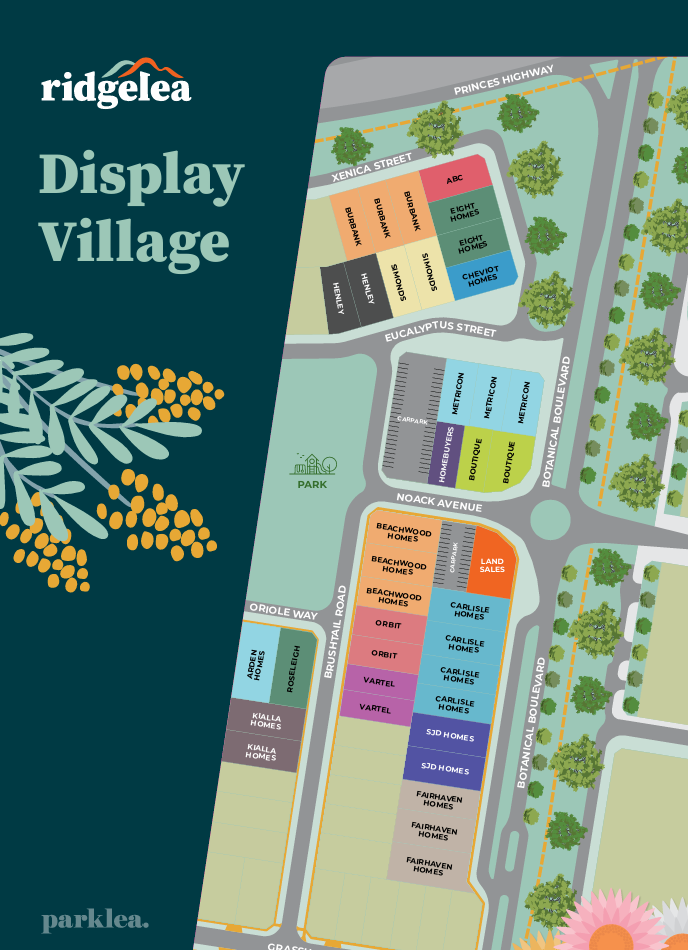
30 Display Homes in Ridgelea Estate Display Village - Pakenham East
Overview
This information is estimated by the OpenLot research team. Let us know here to provide up-to-date information about this development.
| Total new homes | |
| Area Size | 216.00 hectares |
| Growth Region | Melbourne South East Growth Corridor |
| City Council | Cardinia Shire Council |
| Developer | Parklea |
| Creative Agency | Zain Digital |
| Distance to | |
| OpenLot Offer | $200 Cashback |
Suburb Planning Review in Pakenham East VIC 3810
Pakenham East is located in the Shire of Cardinia, the fringe of Melbourne’s Urban Growth Boundary and logical expansion of the existing Pakenham township. The new 630ha suburb area is located on either side of the Princes Highway and is bounded by natural features, existing urban community, infrastructure and farmland.
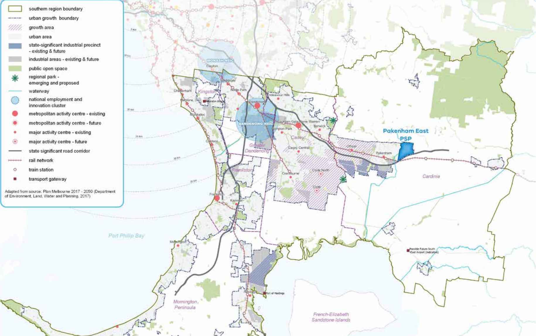
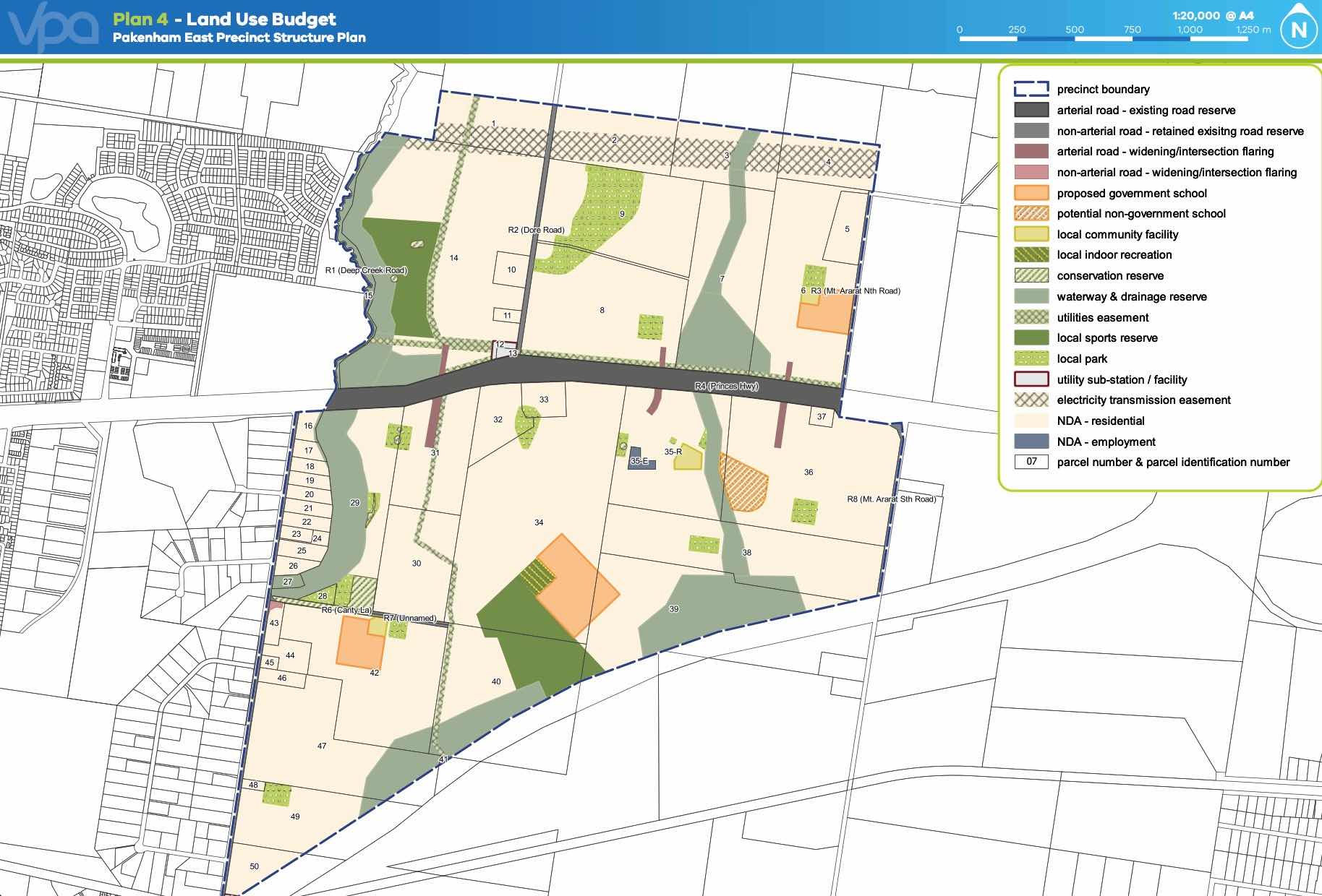
The Pakenham East Precinct Structure Plan (PSP) and Native Vegetation Precinct Plan (NVPP) were prepared to guide the redevelopment of the released land, protection of natural assets and where services are planned to support the suburb growth. This includes local heritage, landscape and environmental values of the area while delivering a variety of housing options and community and recreational facilities as a logical extension of the Pakenham township.
Both the Pakenham East PSP and NVPP were prepared by Victorian Planning Authority (VPA) in consultation with the Cardinia Shire Council and was approved on 2 January 2021 by the Minister for Planning in December 2020. The decision was officially gazetted on 21 January 2021 under Amendment C234 of the Cardinia Planning Scheme.
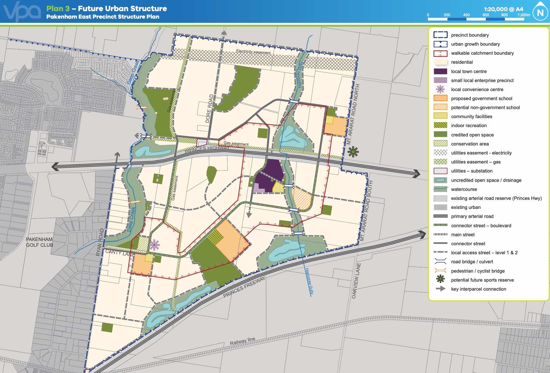
The Vision of Pakenham East
“for a sustainable and resilient community with plenty of housing choices, open space, well-connected streets, future schools and a local town centre and convenience centre. It will complement Pakenham, with an extensive network of cycling paths, public transport and pedestrian links to central Pakenham”.
Benefits of Pakenham East
The amendments allow the rezoning of Farming and Low Density Residential Zones to Urban Growth Zone. This allows the new greenfield sites to provide for a new residential community, protect natural features and sports and recreation areas. A series of new schools, local community hubs, a town centre and a convenience centre will provide local employment.
Transportation in Pakenham East
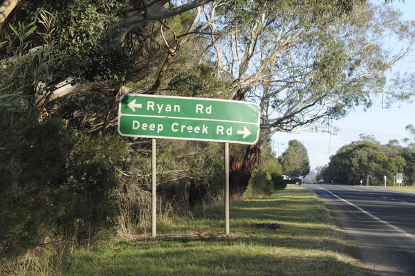
Pakenham East is well connected to public passenger transport, with the Pakenham rail line set to be extended to a new station to be built adjacent to Deep Creek Reserve within the Pakenham community fringe and car parking access from Ryan Road. The passenger train service on the Orbost mainline will connect Flinders Street and the new Pakenham East train station.
While located just outside the new suburb boundary the train station will be well connected to a network of shared paths including cycle links and the local road network. The Princes Highway will provide vehicle access to the Princes Freeway and a direct connection to Melbourne CBD or the east coastline of Victoria.
Pakenham East Suburb Summary
References
- Cardinia Shire Council
- Victoria Planning Authority
- Premier of Victoria – New Station
- Premier of Victoria – New Suburb
- Level Crossing Removal Project
Updates for Ridgelea Estate - Pakenham East


Popular Estates near Ridgelea Estate - Pakenham East


Not exactly what you're looking for? Try surrounding suburbs
Officer VIC 3809
55 estates | Cardinia Shire Council
10.5km west
Officer South VIC 3809
2 estates | Cardinia Shire Council
10.4km south-west
Pakenham VIC 3810
30 estates | Cardinia Shire Council
3.3km west
Garfield VIC 3814
2 estates | Cardinia Shire Council
13.2km east
Nar Nar Goon North VIC 3812
4 estates | Cardinia Shire Council
4.5km north
Nar Nar Goon VIC 3812
0 estates
4.8km south
Latest published articles


FAQs about Ridgelea Estate - Pakenham East
Parklea is the developer behind Ridgelea Estate - Pakenham East.
Ridgelea Estate - Pakenham East consists of 3,500 homes.
The total area for Ridgelea Estate - Pakenham East is 216.00 hectares.
Ridgelea Estate - Pakenham East falls under Cardinia Shire Council.
Ridgelea Estate - Pakenham East is 58 km south-east of Melbourne CBD.
Nearby schools for Ridgelea Estate - Pakenham East:
- Pakenham Primary School - 2.5km west
- St James School - 3.1km east
- Nar Nar Goon Primary School - 3.5km south-east
- Pakenham Hills Primary School - 3.8km west
- St Patrick's School - 5.6km west
- Pakenham Secondary College - 5.9km west