
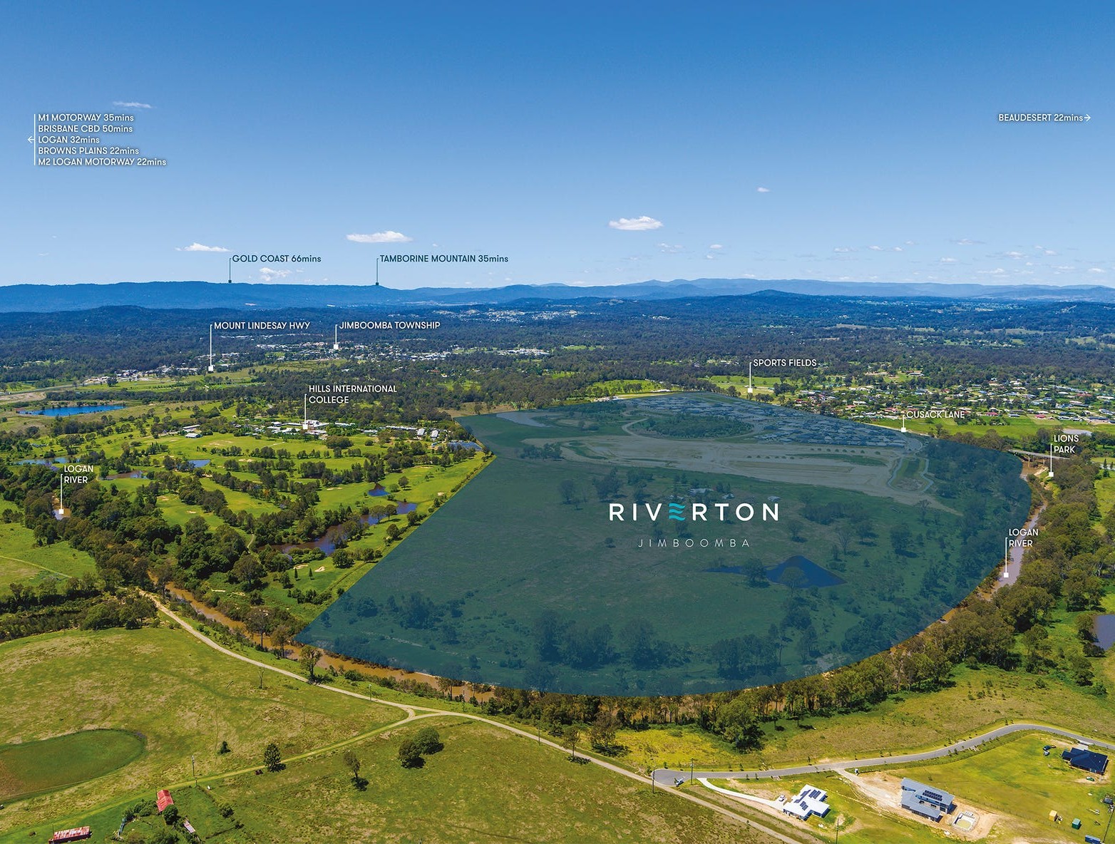
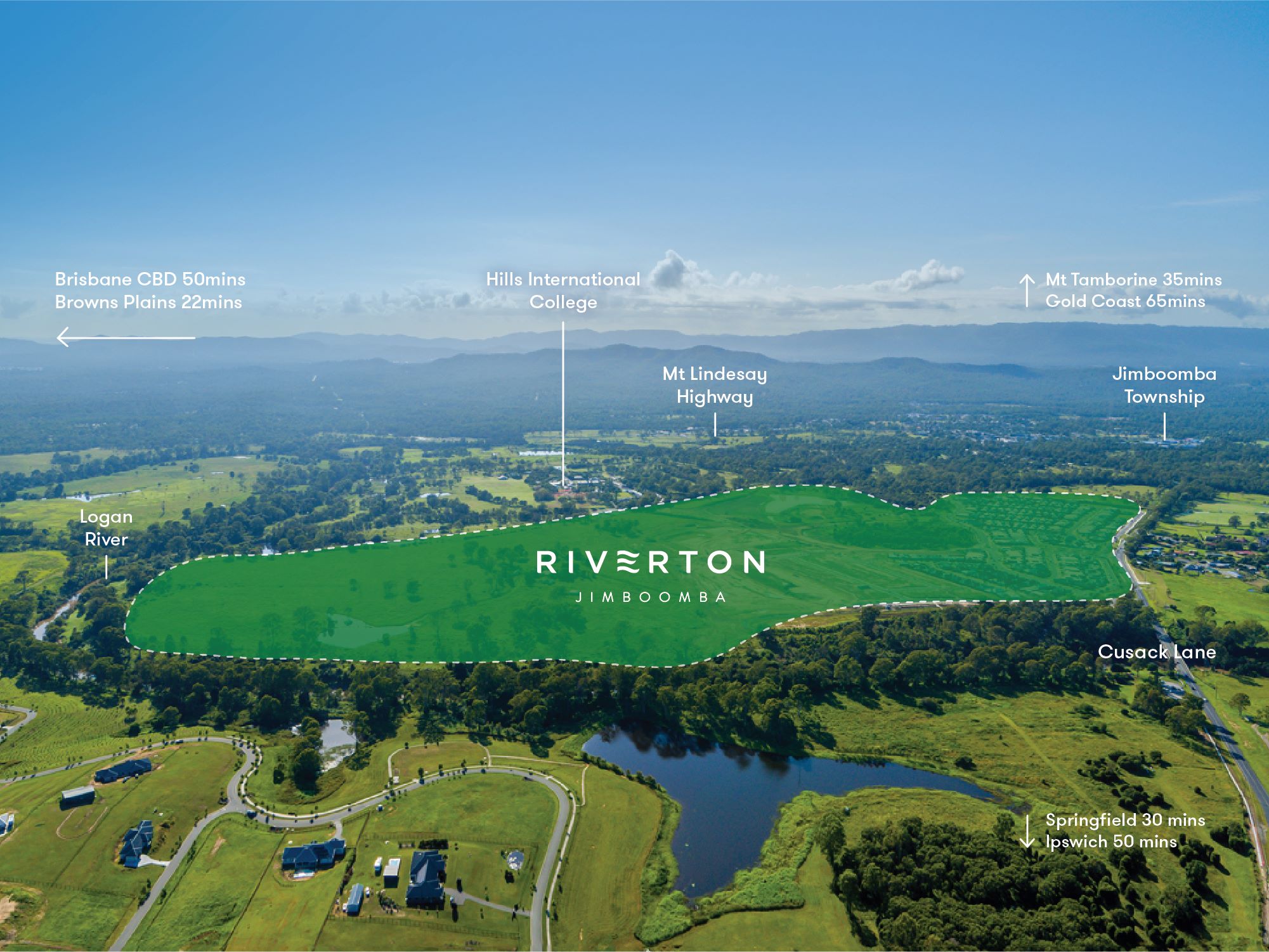

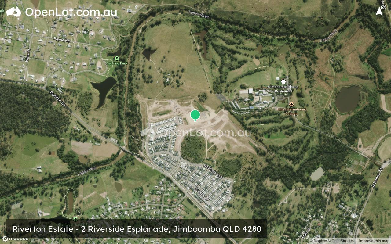
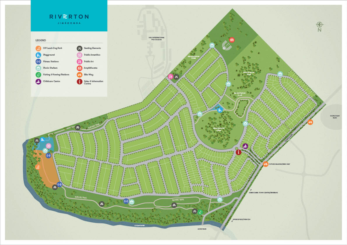
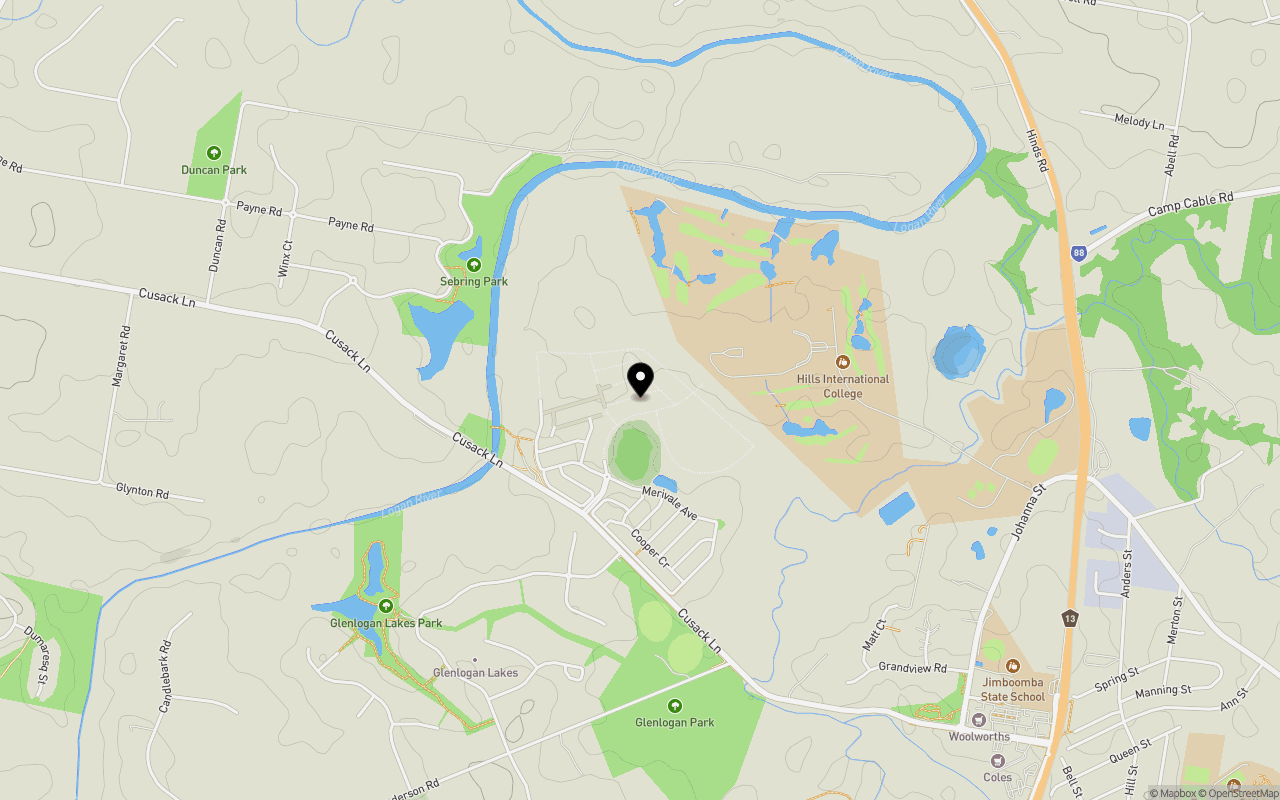
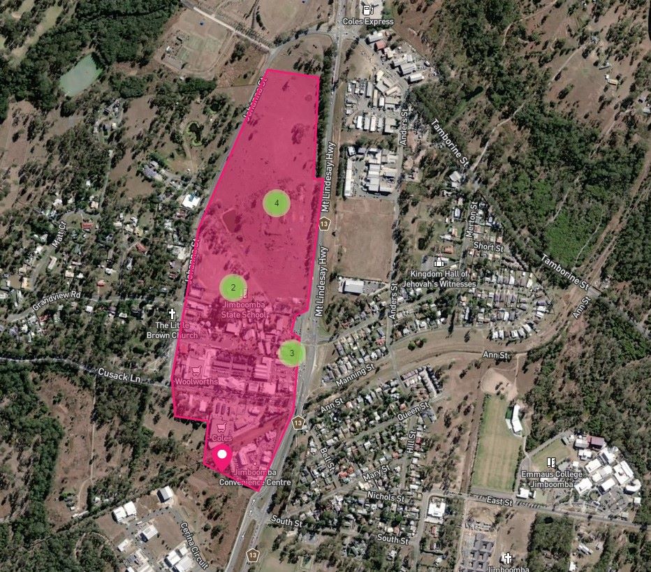
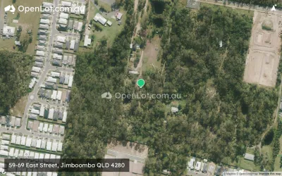
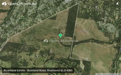
Location & Map for Riverton Estate - Jimboomba
Schools near Riverton Estate - Jimboomba
Riverton Jimboomba Video
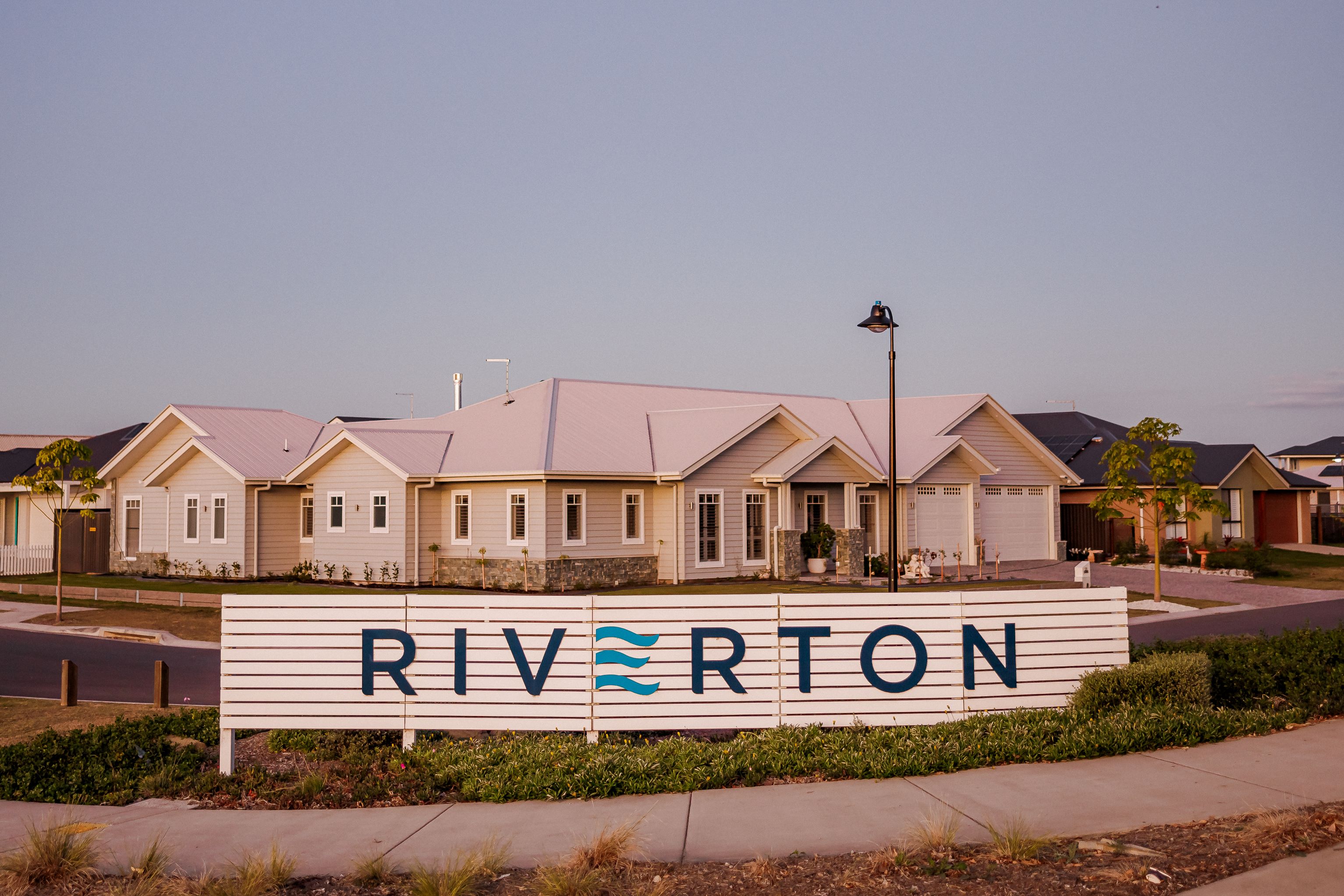
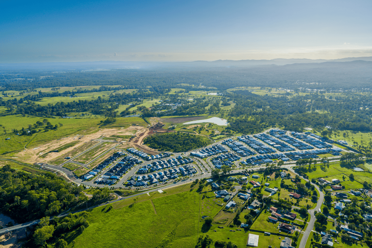
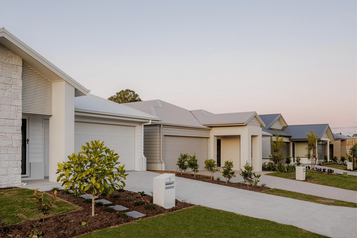
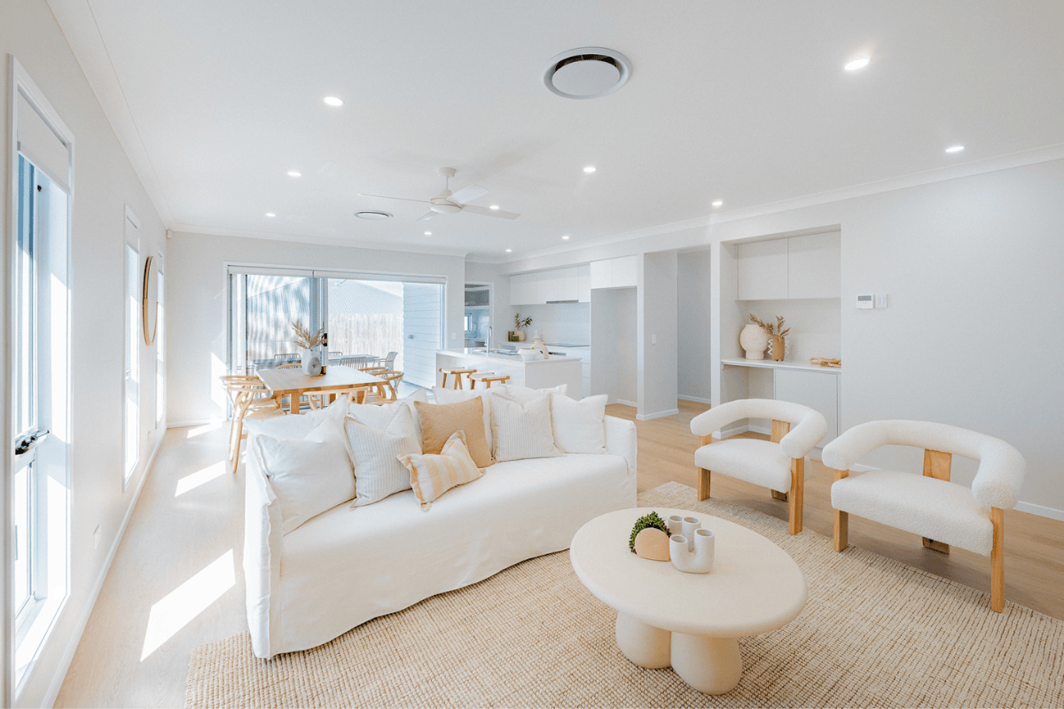
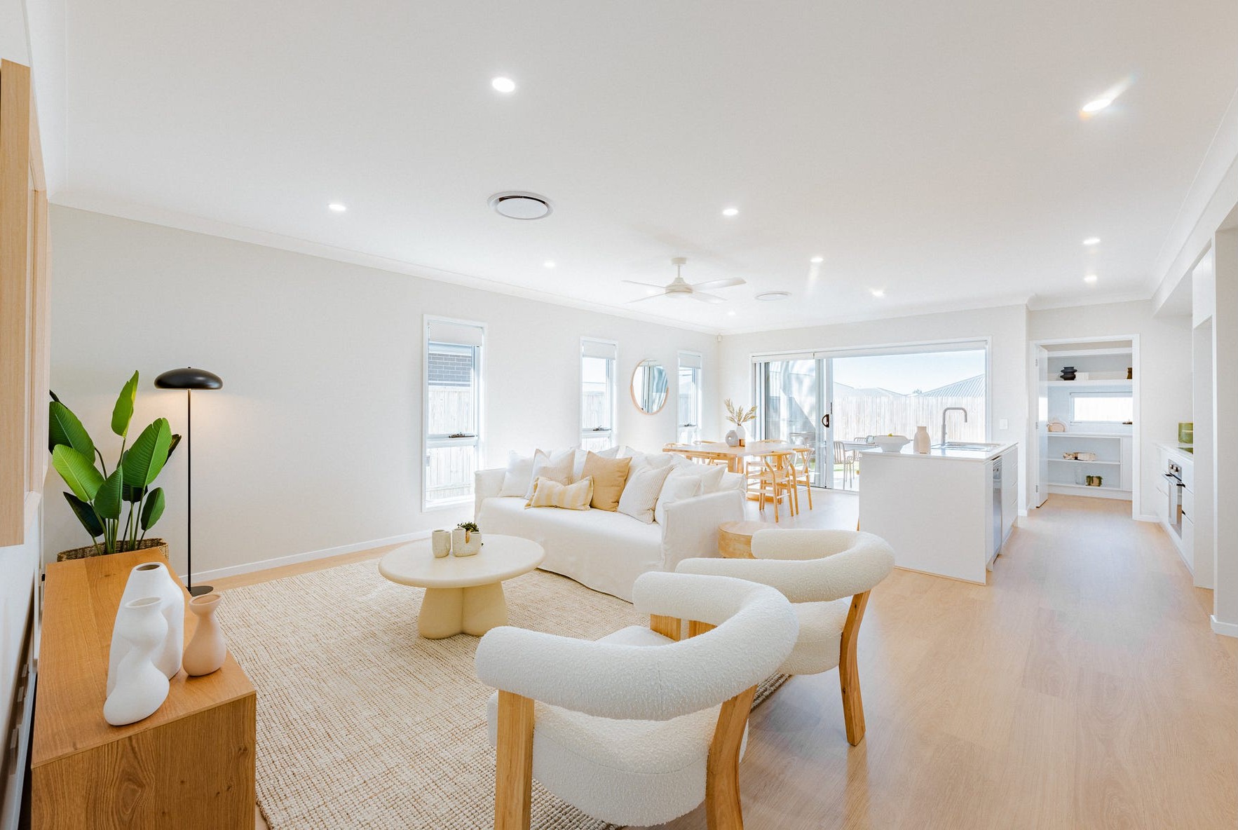
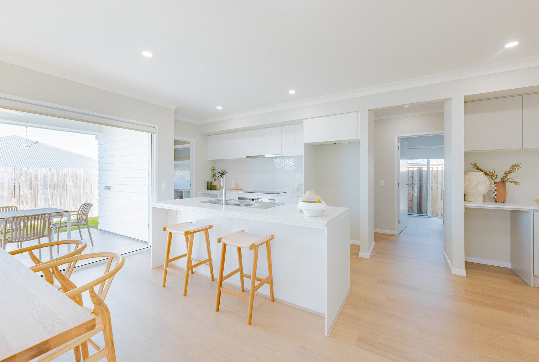
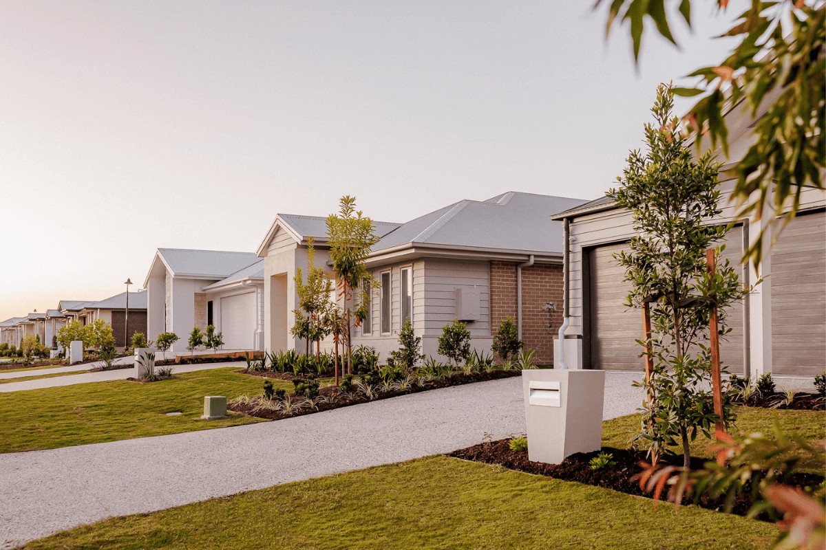
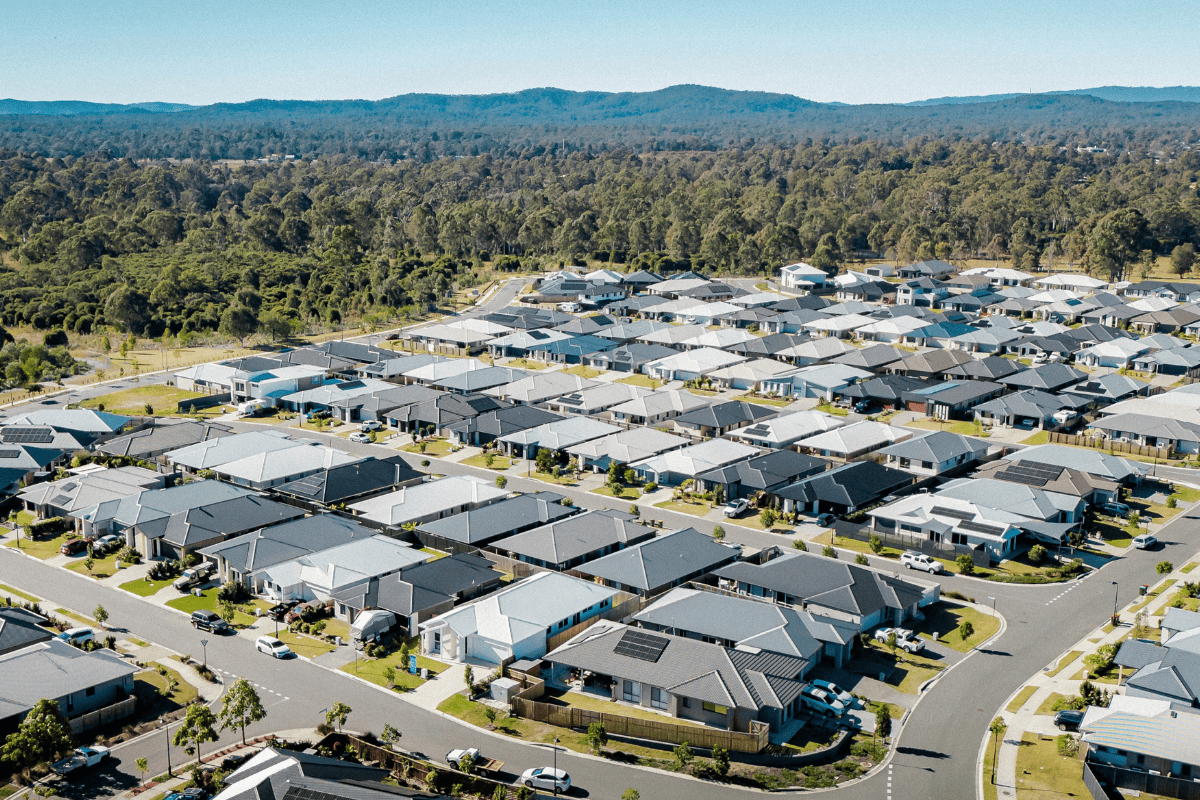
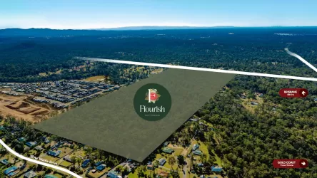
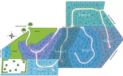
Overview
This information is estimated by the OpenLot research team. Let us know here to provide up-to-date information about this development.
| Total new homes | |
| Area Size | 127.00 hectares |
| Growth Region | Greater Brisbane Growth Areas |
| City Council | Logan City Council |
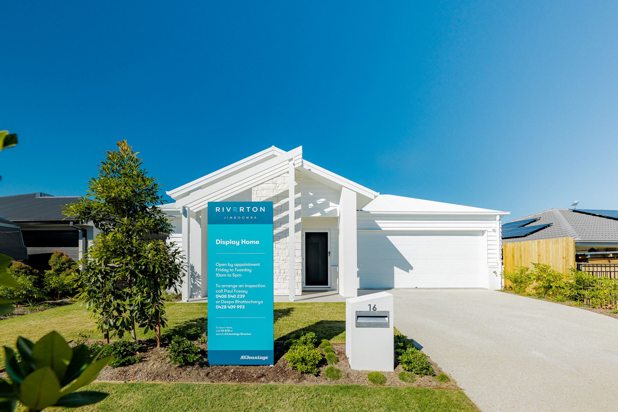
| Developer | AVJennings |
| Distance to |
Suburb Planning Review in Jimboomba QLD 4280
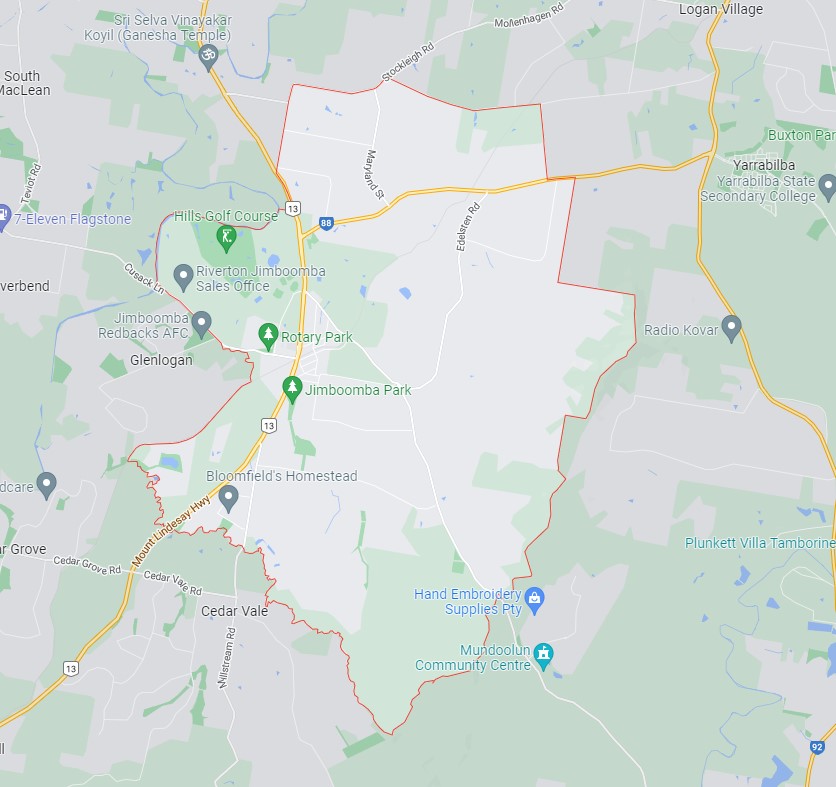
Jimboomba is approximately 5,429ha within the southern portion of Logan, located 27 kilometres south of Brisbane and the majority of the suburb is residential supported by the Jimboomba Town Centre.
The suburb boundary is located along the mountain range ridgeline to the east, and a series of creek, road and old rail corridors to the west. Stockleigh Road and Hawkins Road contribute to the northern boundary, which is in proximity to a large transmission line and Yarrabilba. The Scrubby Creek corridor and an old mountain access track provide the southern boundary to Cedar Vale and Mundoolun.
The Mt Lindesay Highway runs through the west of the suburb and provides access to the Jimboomba township. This urban area provides a mix of zones including education, community, commercial and retail services. The township area is surrounded by large areas of low density and farming zones. Rural residential zoned areas dominate the remaining northern southern and eastern portions of the suburb.
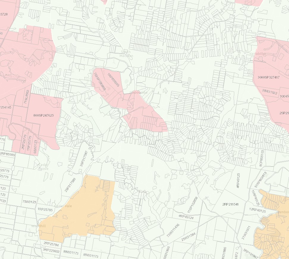
A small area of the urban footprint is located around the Jimboomba township area, which includes established urban areas and land with potential for new urban development. The area incorporates the full range of urban uses including housing, industry, business, infrastructure, community facilities and other integral components of well-planned urban environments, such as local areas for sport and recreation and urban open space. The council planning scheme includes zoning to allow land uses to align with the purpose of the urban footprint in accordance with the SEQ Regional Plan.
The suburb includes pockets of recreational and open space zoned land found throughout the rural residential land to accommodate parkland, reserves and sporting fields. A large area of the suburb forms part of the mountain range to the east of the site which offers walking trails and informal creek catchments that flow down through the rural residential properties in proximity.
The large rural residential lots are being developed for smaller lots as the population in South East Queensland expands and the demand for new housing stock rises. Four new developments in Jimboomba are, Jimboomba Woods Estate, Eastbrooke Village Estate, The Village at Jimboomba and Riverstone Estate and the largest being Greenbank Central (Everleigh Estate).
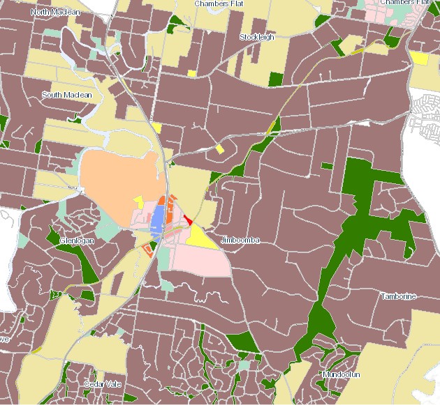
Local Plan Area in Jimboomba
The Logan City Council is seeking to deliver small improvements in the coming years to provide to the Jimboomba town centre, to cater for the new residents that are moving to the area. The improvements will make the suburb an even better place for locals, visitors and businesses.
Logan City Council is investigating the possibilities and has held public forums “Jimboomba Summit Survey” where key themes and feedback on options were discussed that could shape the future look and feel of the Jimboomba town centre. Ideas included street furniture, median greening, footpath dining, tree lighting.
The Logan Plan 2025
New Logan Council has decided in July 2021 to support a new planning scheme to address flood risk, design guidelines, planning areas for sustainable growth and emerging suburbs outside of the Flagstone and Yarrabilba priority development areas which will continue to be administered by planning schemes under the state government's Economic Development Act 2012.
The new Logan Planning Scheme 2015 will integrate the Logan Housing Study and the Logan Employment Lands Strategy to address the expected population growth that is predicted to exceed 500,000 by 2036.
Jimboomba Suburb Summary
| Suburb | Jimboomba |
| City / State | Logan City Council, Queensland |
| Suburb Area | 5,429ha |
| Boundary |
|
| Suburb inclusions |
|
| Community Amenity |
|
| Location | Logan, 40 kilometres south of Brisbane |
| Education |
|
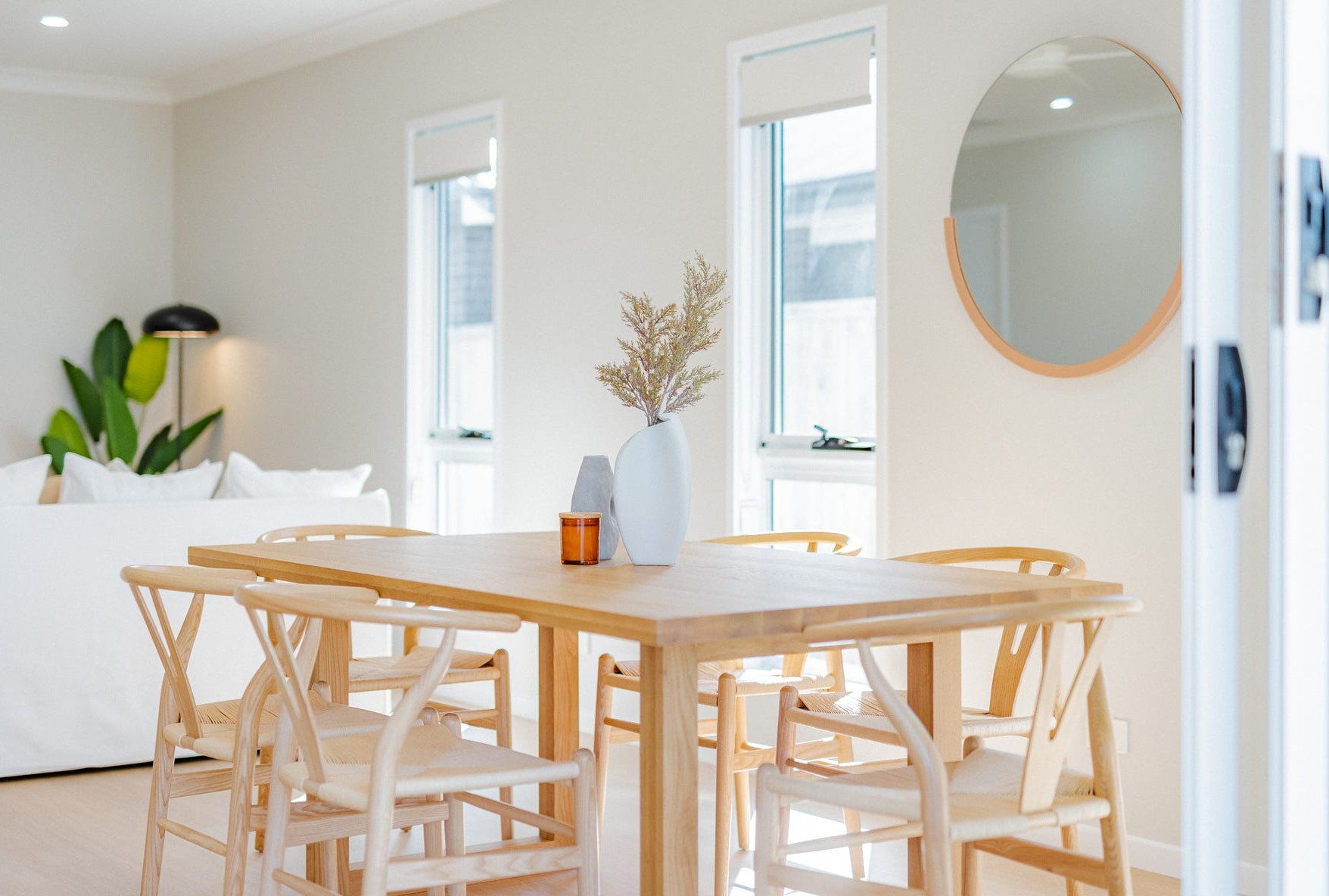
| Types of Residential | Housing choice and diversity to meet the needs of the community, through a mix of densities, types, designs, tenures and levels of affordability, to cater for a range of lifestyles, incomes and life cycle needs |
| Employment Areas | Retail and commercial, school, health centre and sports |
| Infrastructure | Local road network and pathway network |
| Transportation |
|
| Recreation Areas |
|
| Environment |
|
| Settlement Pattern | Historic, controlled by creek corridor and mountain range |
References
- Logan City Council - Jimboomba
- Google Streetview and Aerial
- Jimboomba Local Plan Area
- Logan Plan 2025
- OpenStreetMap - DNRME
Updates for Riverton Estate - Jimboomba
Land Price Trend in Jimboomba QLD 4280
Below shows the price trend from vacant land sales recorded in Jimboomba QLD 4280.
The data and information provided by Terralytics (Aust) Pty Ltd (Terralytics Data) is general in nature and is not intended to constitute professional advice. Read more
It should not be relied upon as a substitute for legal, financial, valuation, or other specialist advice relevant to your specific circumstances.
Terralytics uses commercially reasonable endeavours to ensure the Terralytics Data is current and accurate. However, as the Terralytics Data incorporates information sourced from third parties, Terralytics makes no representation or warranty — express or implied — as to its accuracy, completeness, or currency. To the maximum extent permitted by applicable law, Terralytics excludes all liability for any loss or damage (including consequential loss) arising out of or in connection with reliance on the Terralytics Data, whether arising in contract, tort (including negligence), statute, or otherwise.
Popular Estates near Riverton Estate - Jimboomba
Not exactly what you're looking for? Try surrounding suburbs
South Maclean QLD 4280
2 estates | Logan City Council
5.2km north-west
Cedar Vale QLD 4285
1 estate | Logan City Council
4.8km south
Flagstone QLD 4280
1 estate | Logan City Council
7.8km north-west
Woodhill QLD 4285
2 estates | Logan City Council
6.8km south-west
Riverbend QLD 4280
1 estate | Logan City Council
3.8km west
Monarch Glen QLD 4285
1 estate | Logan City Council
9.3km west
Latest published articles


FAQs about Riverton Estate - Jimboomba
AVJennings is the developer behind Riverton Estate - Jimboomba.
Riverton Estate - Jimboomba consists of 1,200 homes.
The total area for Riverton Estate - Jimboomba is 127.00 hectares.
Riverton Estate - Jimboomba falls under Logan City Council.
Riverton Estate - Jimboomba is 39 km south of Brisbane CBD.
Nearby schools for Riverton Estate - Jimboomba:
- Hills International College - 747m east
- Jimboomba State School - 2.1km south-east
- Emmaus College - 3.2km south-east
- Australian Technology and Agricultural College - 4.5km north
- Flagstone State School - 5.4km west
- Flagstone State Community College - 5.5km west