
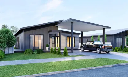
Property types for sale
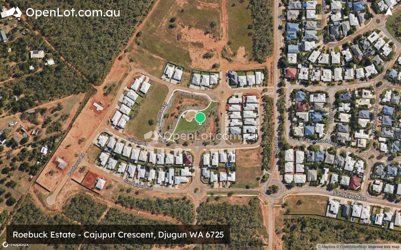
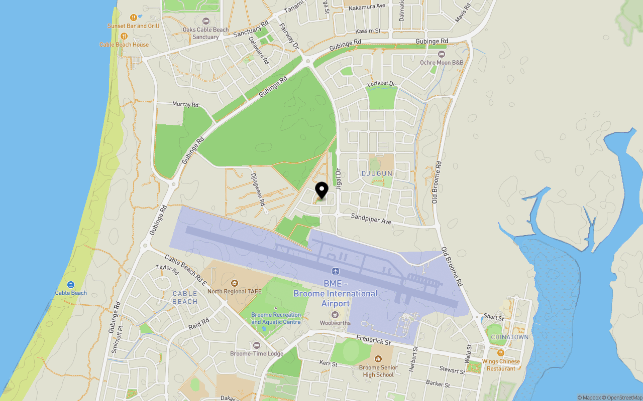
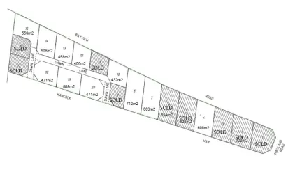
Location & Map for Roebuck Estate - Djugun
Schools near Roebuck Estate - Djugun
Overview
This information is estimated by the OpenLot research team. Let us know here to provide up-to-date information about this development.
| Total new homes | |
| Area Size | N/A |
| City Council | Shire of Broome |
| Developer | N/A |
| Project Marketer | PRD Broome |
Updates for Roebuck Estate - Djugun
Popular Estates near Roebuck Estate - Djugun
Not exactly what you're looking for? Try surrounding suburbs
Baynton WA 6714
0 estates
649.6km south-west
South Hedland WA 6722
3 estates | Town of Port Hedland
469.7km south-west
Newman WA 6753
1 estate | Shire of East Pilbara
622.2km south-west
Bilingurr WA 6725
0 estates
2.9km north
Halls Creek WA 6770
0 estates
575.7km east
Bulgarra WA 6714
1 estate | City of Karratha
643.0km south-west
Latest published articles


FAQs about Roebuck Estate - Djugun
Roebuck Estate - Djugun falls under Shire of Broome.
PRD Broome is the project marketer for Roebuck Estate - Djugun.
Nearby schools for Roebuck Estate - Djugun:
- Roebuck Primary School - 595m north-east
- Broome Senior High School - 1.3km south
- St Martin de Porres School - 1.8km south-west
- Broome North Primary School - 2.0km north
- St Mary's College - 2.0km south
- Cable Beach Primary School - 2.0km south-west