
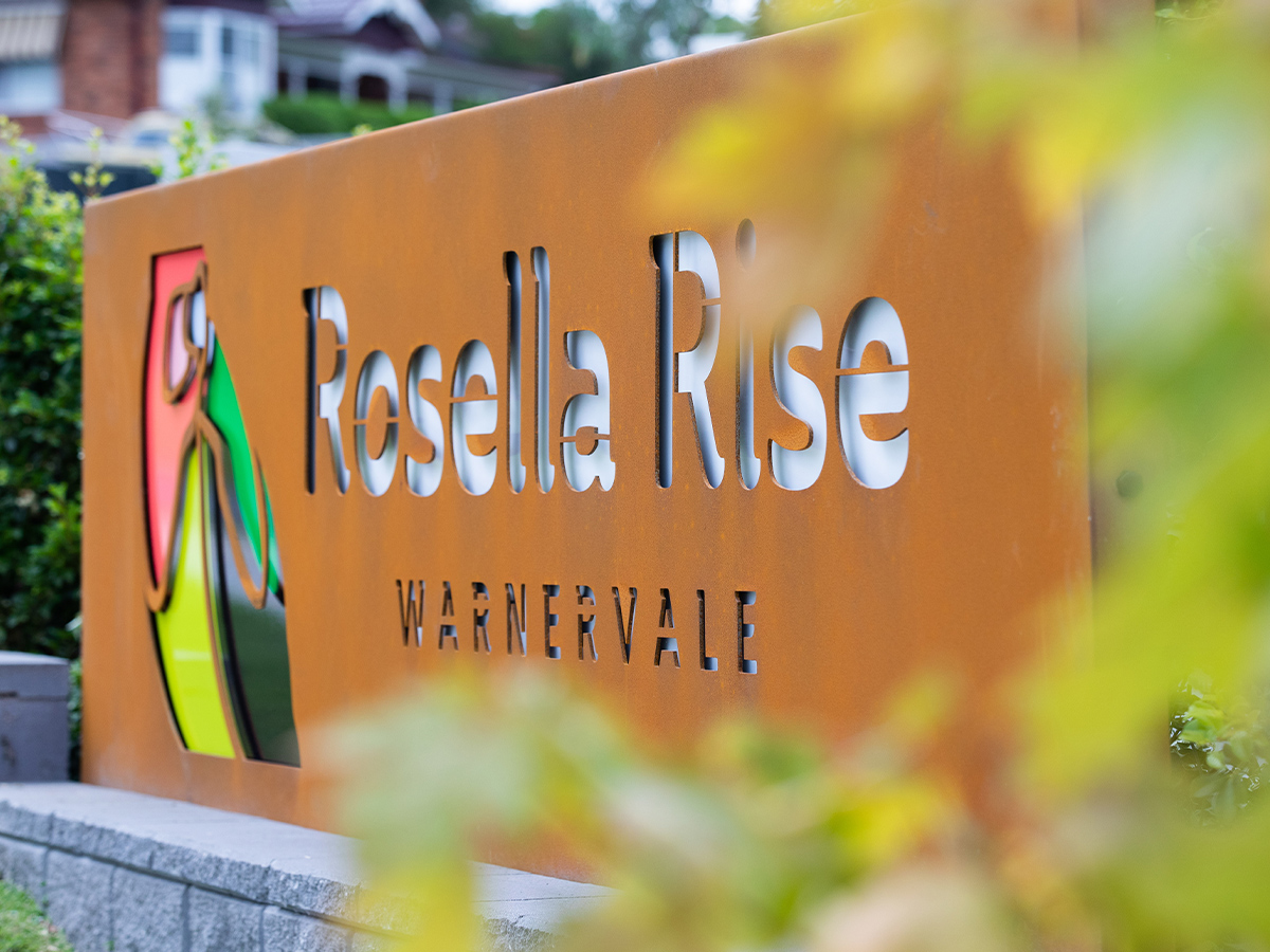
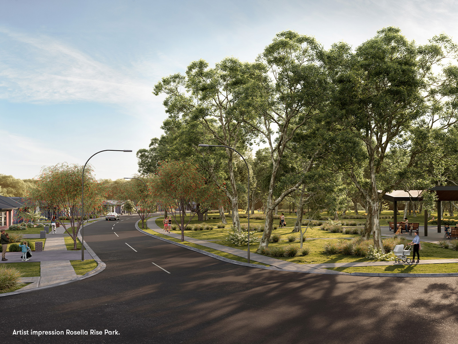
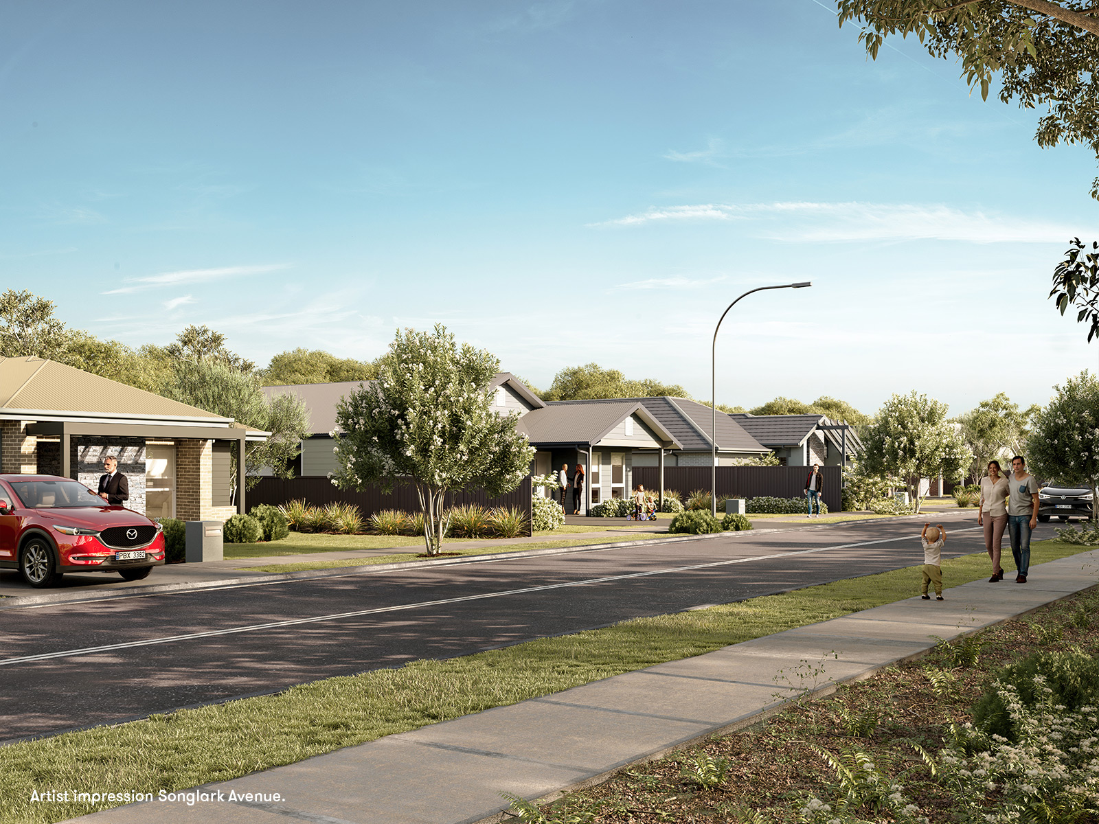
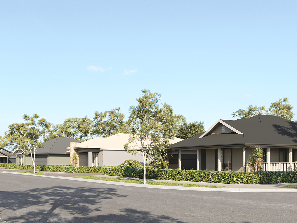
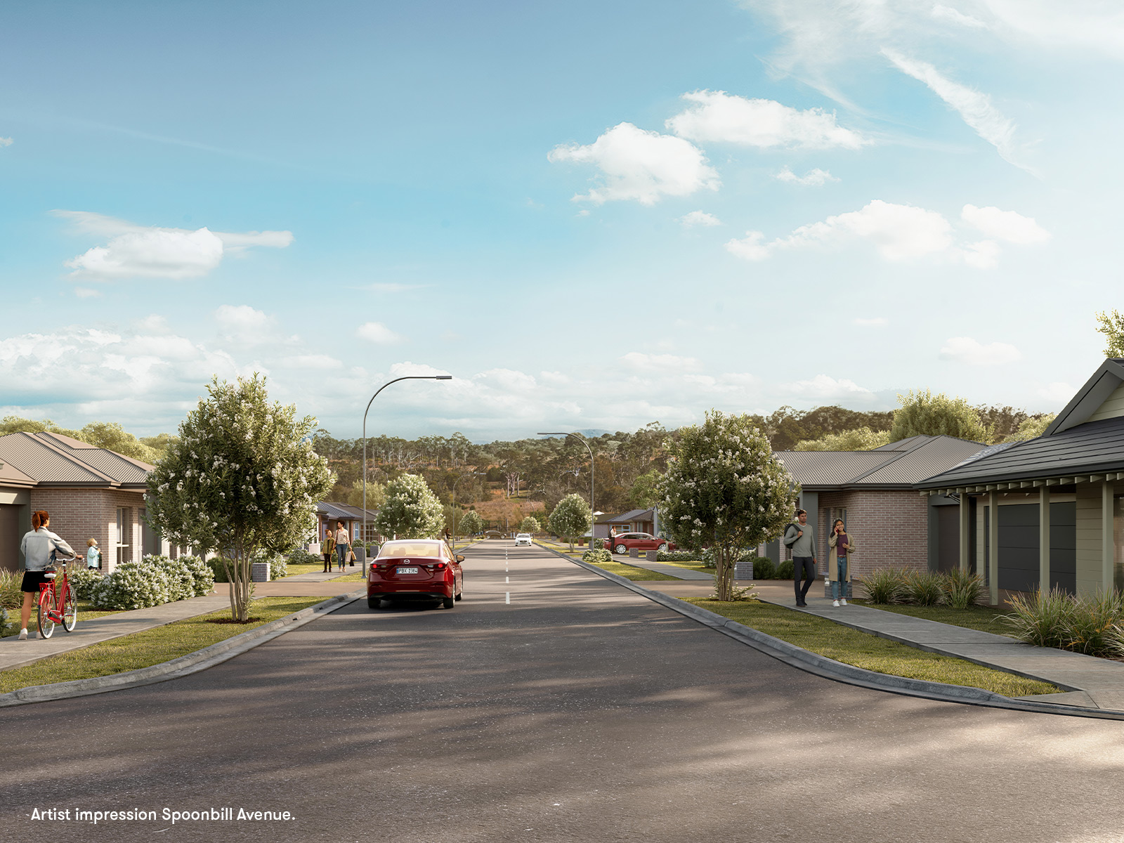
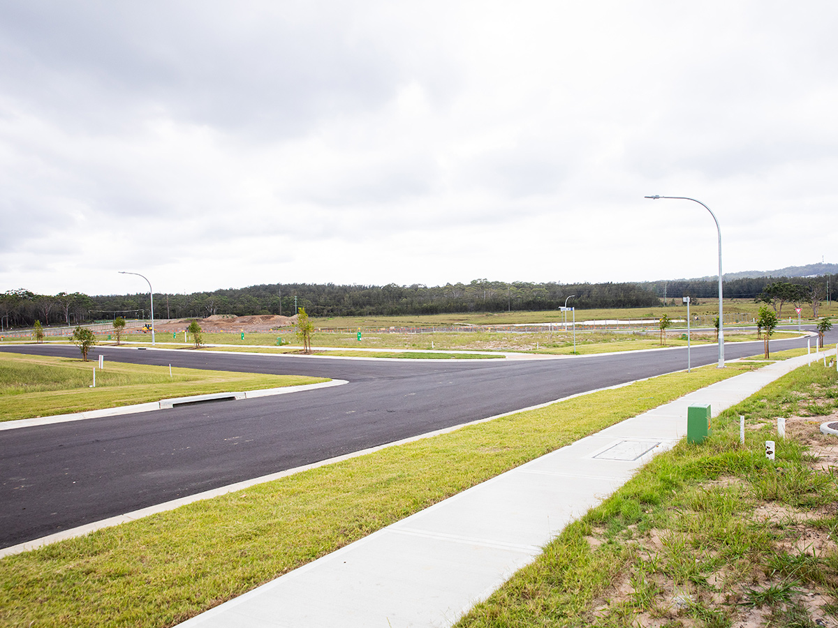


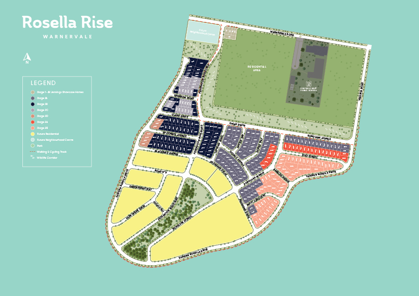
Rosella Rise - Warnervale
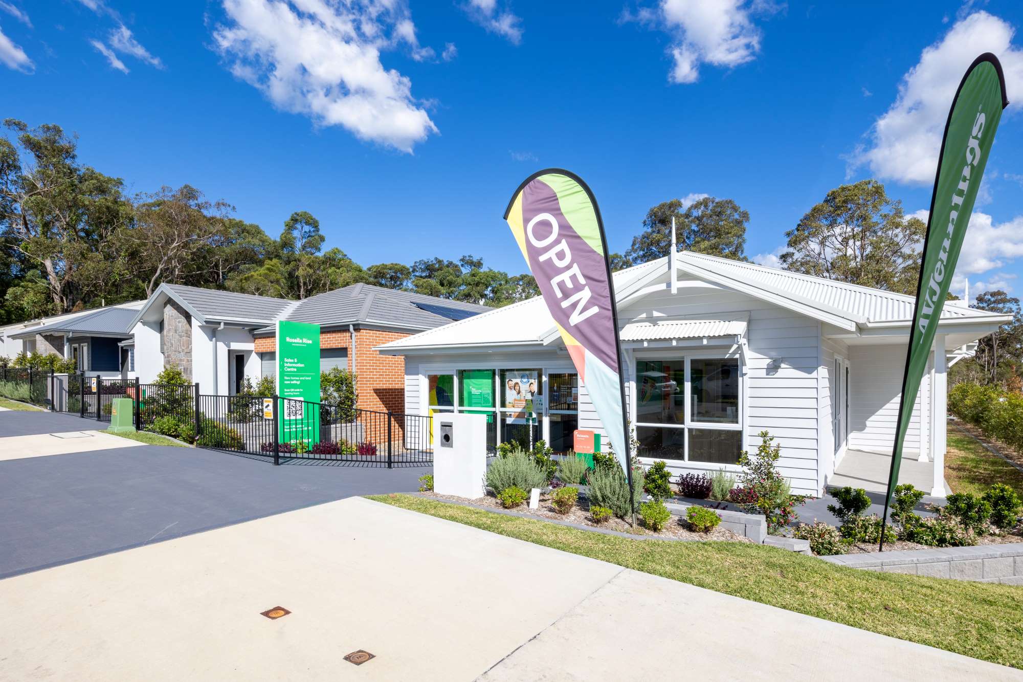
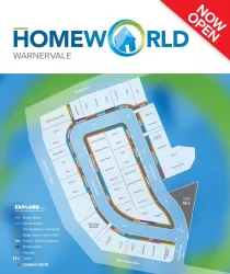
[NEW RELEASE] Limited land release now selling


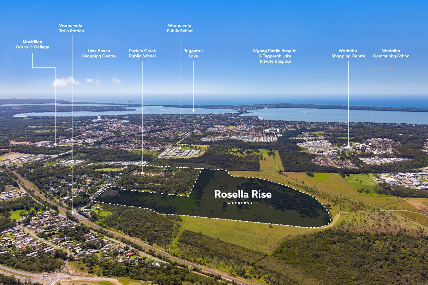
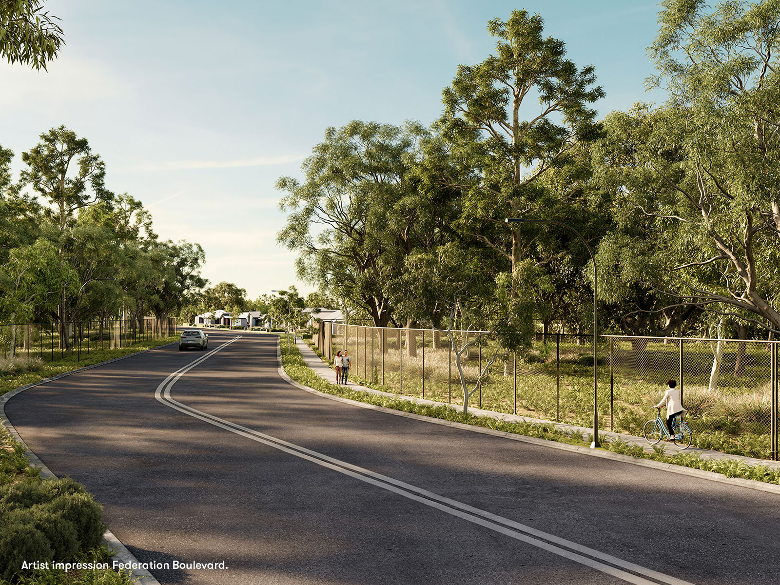
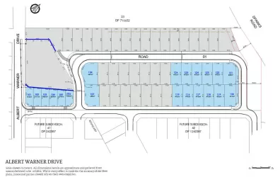
- Limited land release facing native bushland on a quiet street
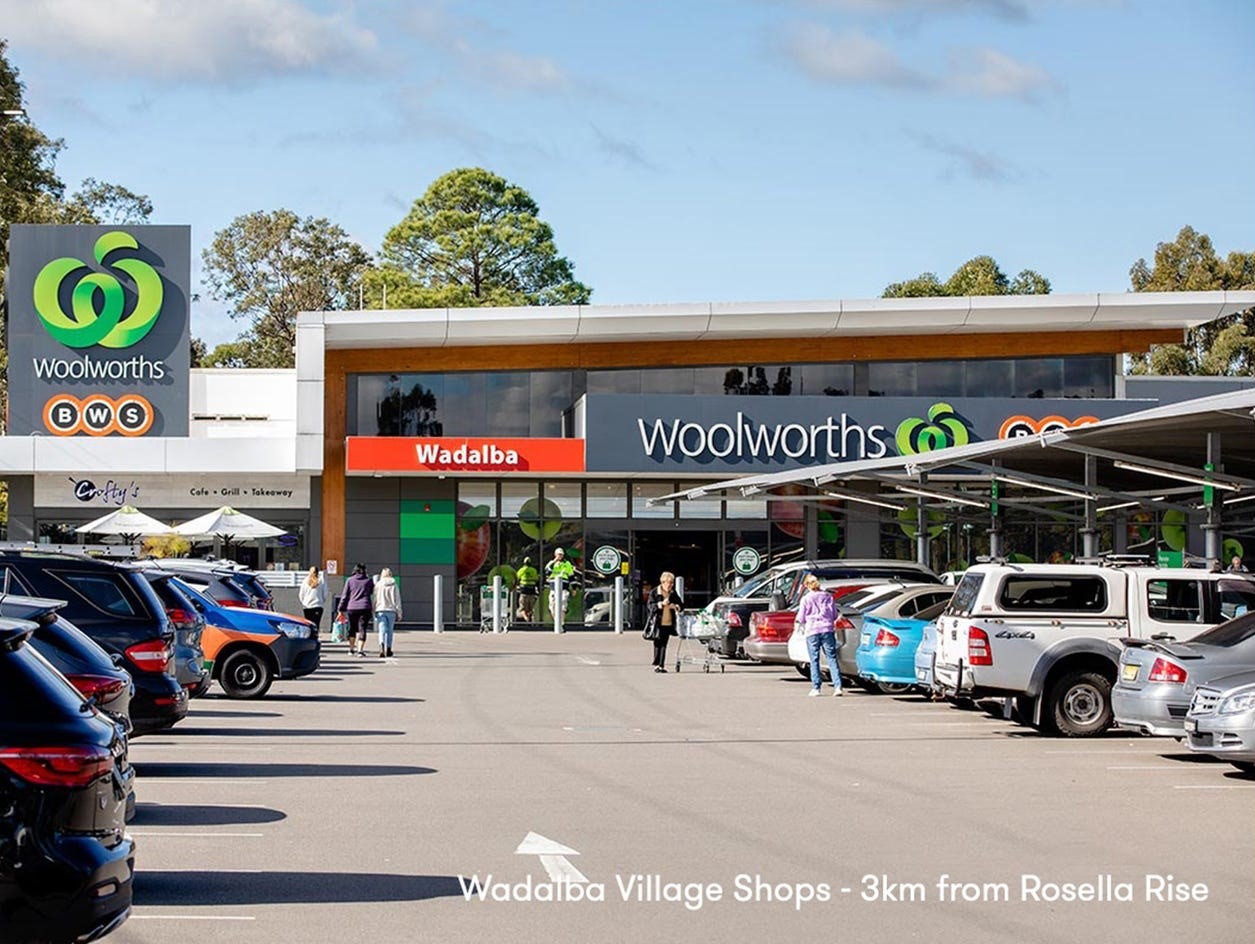
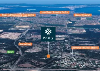
- Building on the traditional township of Warnervale with everything already in place from schools, shopping to health and public transport
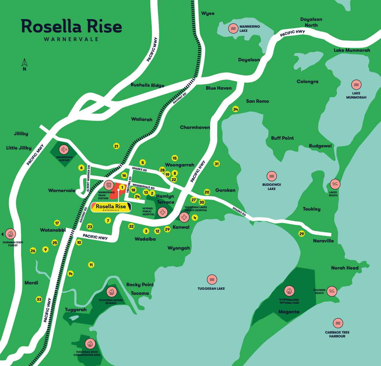
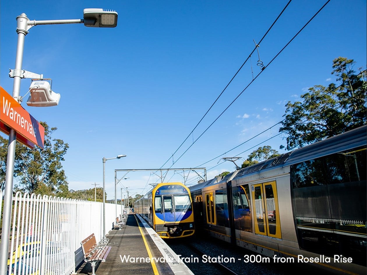
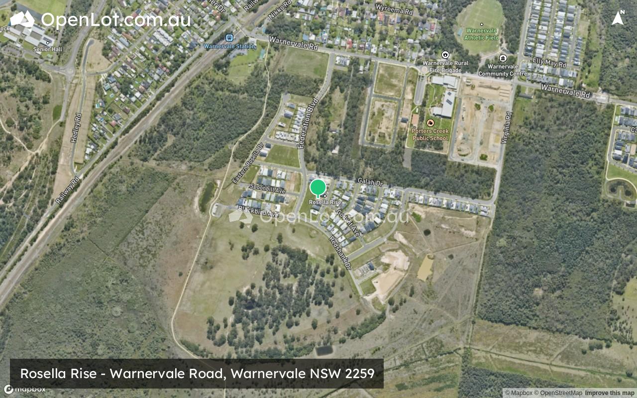
- 500m to Warnervale train station
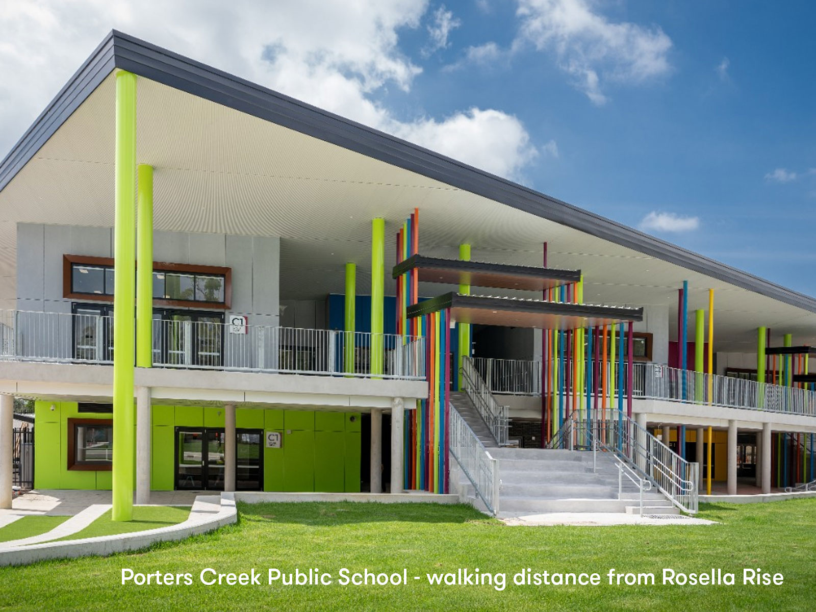
- 500m to the new Porters Creek Public School
- 14km to Westfield Tuggerah
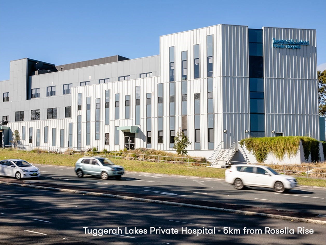
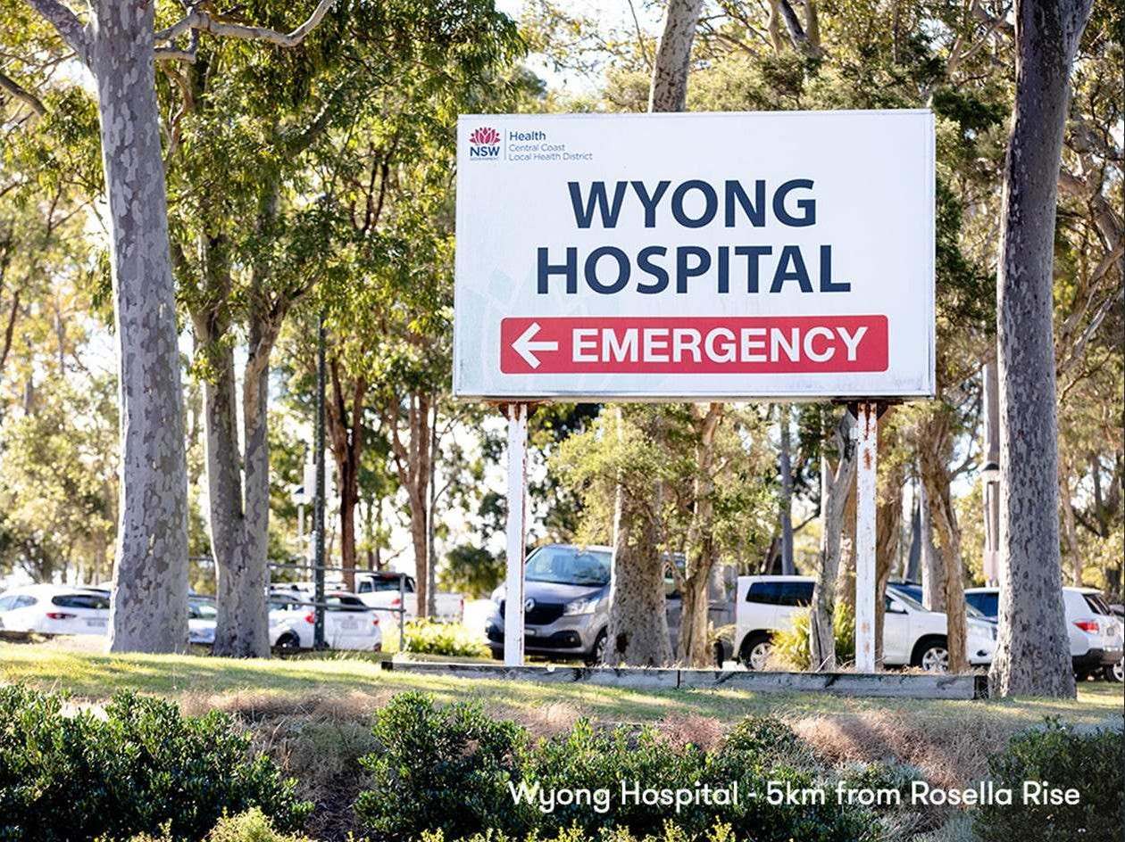
- 5km to Wyong Hospital
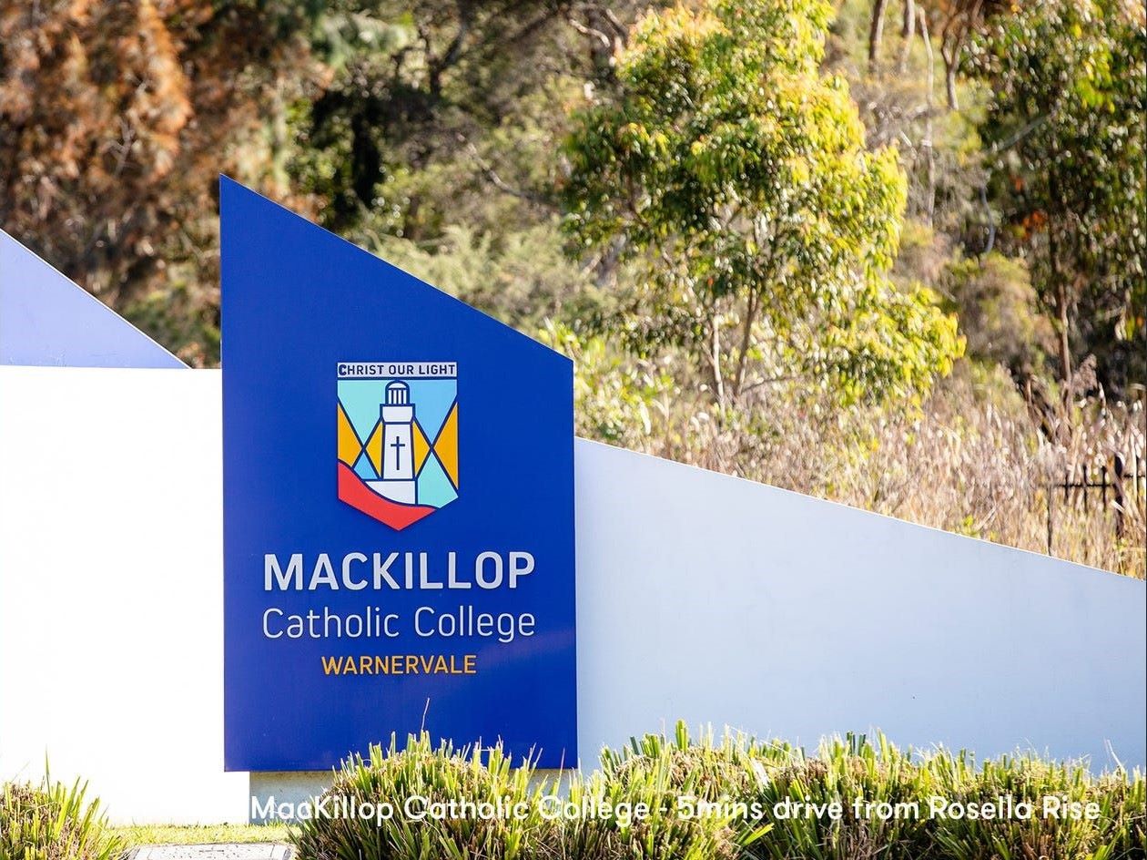
- 2km to Mackillop Catholic College
- Close to the M1 Motorway
Property types for sale
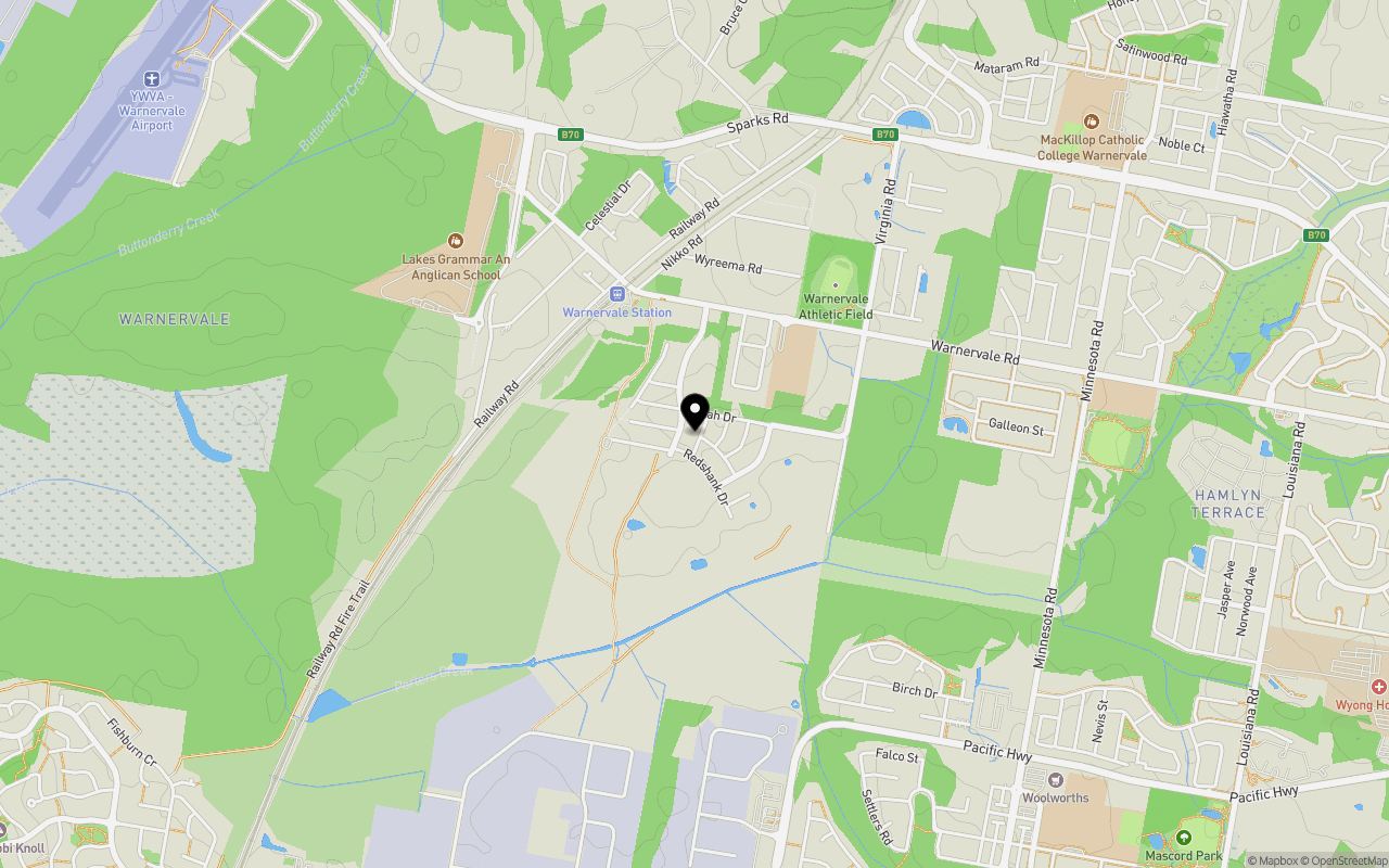
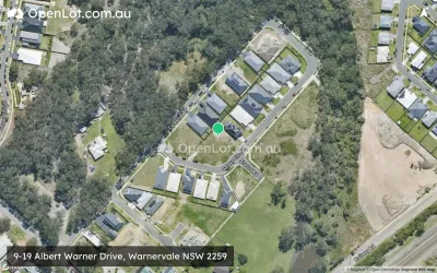
Location & Map for Rosella Rise - Warnervale
Schools near Rosella Rise - Warnervale
Overview
This information is estimated by the OpenLot research team. Let us know here to provide up-to-date information about this development.
| Total new homes | |
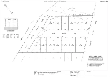
| Area Size | 210.00 hectares |
| Growth Region | Central Coast Growth Areas |
| City Council | Central Coast Council |
| Developer | AVJennings |
| Distance to |
Updates for Rosella Rise - Warnervale


Land Price Trend in Warnervale NSW 2259
Below shows the price trend from vacant land sales recorded in Warnervale NSW 2259.
The data and information provided by Terralytics (Aust) Pty Ltd (Terralytics Data) is general in nature and is not intended to constitute professional advice. Read more
It should not be relied upon as a substitute for legal, financial, valuation, or other specialist advice relevant to your specific circumstances.
Terralytics uses commercially reasonable endeavours to ensure the Terralytics Data is current and accurate. However, as the Terralytics Data incorporates information sourced from third parties, Terralytics makes no representation or warranty — express or implied — as to its accuracy, completeness, or currency. To the maximum extent permitted by applicable law, Terralytics excludes all liability for any loss or damage (including consequential loss) arising out of or in connection with reliance on the Terralytics Data, whether arising in contract, tort (including negligence), statute, or otherwise.
Popular Estates near Rosella Rise - Warnervale


Not exactly what you're looking for? Try surrounding suburbs
Woongarrah NSW 2259
5 estates | Central Coast Council
4.2km east
Mardi NSW 2259
1 estate | Central Coast Council
5.8km south-west
Hamlyn Terrace NSW 2259
8 estates | Central Coast Council
3.9km east
Charmhaven NSW 2263
2 estates | Central Coast Council
6.2km east
Wadalba NSW 2259
9 estates | Central Coast Council
4.7km south-east
Wyong NSW 2259
1 estate | Central Coast Council
3.6km south
Latest published articles


FAQs about Rosella Rise - Warnervale
AVJennings is the developer behind Rosella Rise - Warnervale.
Rosella Rise - Warnervale consists of 527 homes.
The total area for Rosella Rise - Warnervale is 210.00 hectares.
Rosella Rise - Warnervale falls under Central Coast Council.
Rosella Rise - Warnervale is 47 km south-west of Newcastle CBD.
Nearby schools for Rosella Rise - Warnervale:
- Porters Creek Public School - 519m north-east
- Lakes Grammar - An Anglican School - 1.3km north-west
- Warnervale Public School - 1.6km east
- MacKillop Catholic College - 1.9km north-east
- Wadalba Community School - 2.0km south-east
- Woongarrah Public School - 3.2km east