

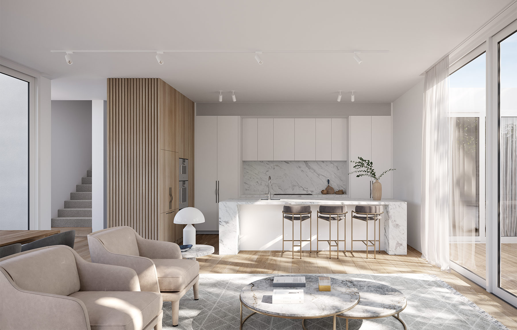

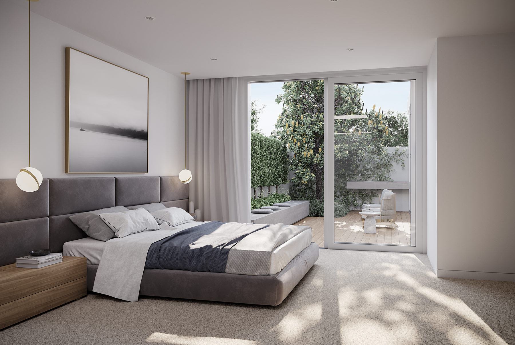

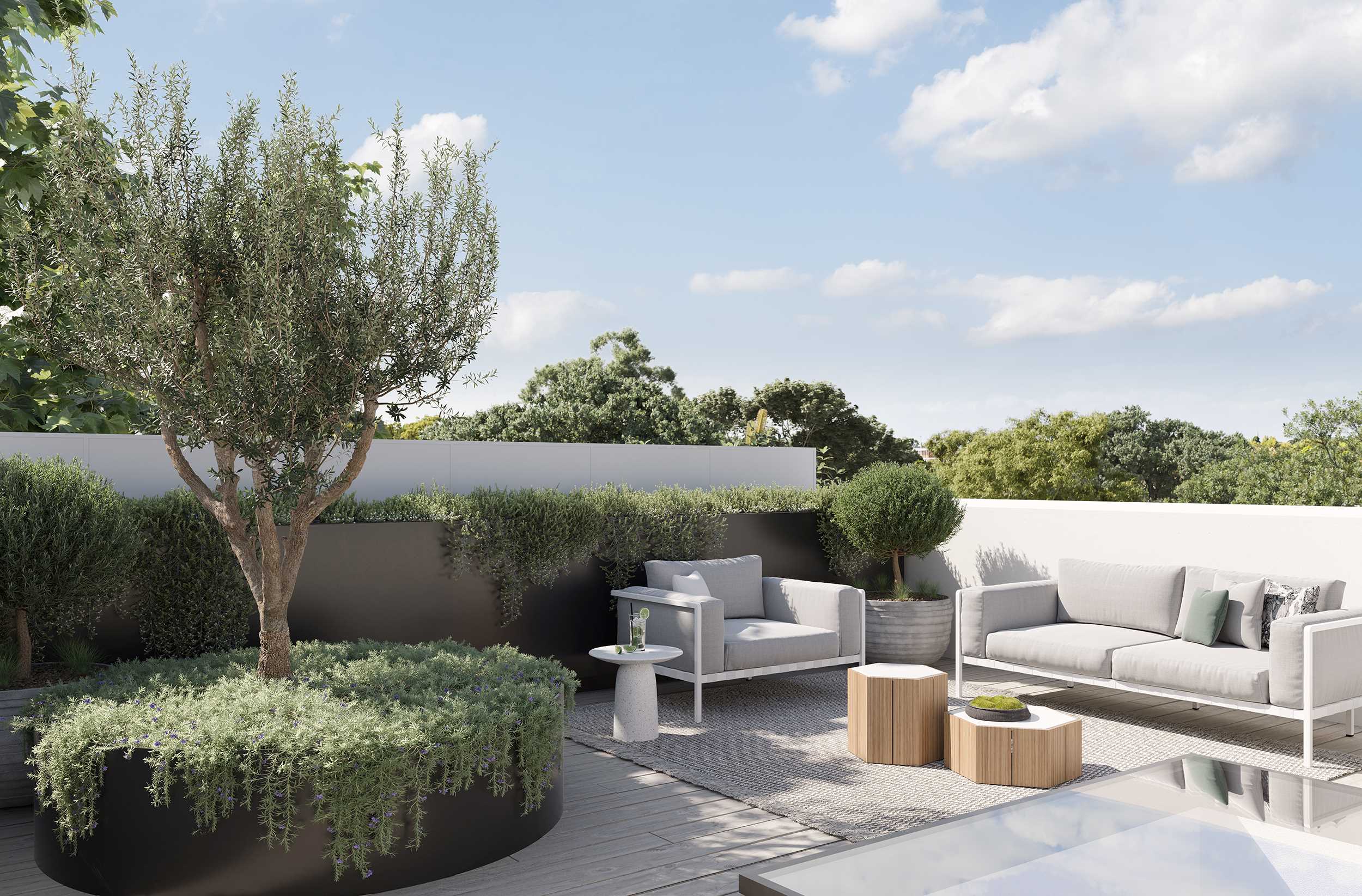
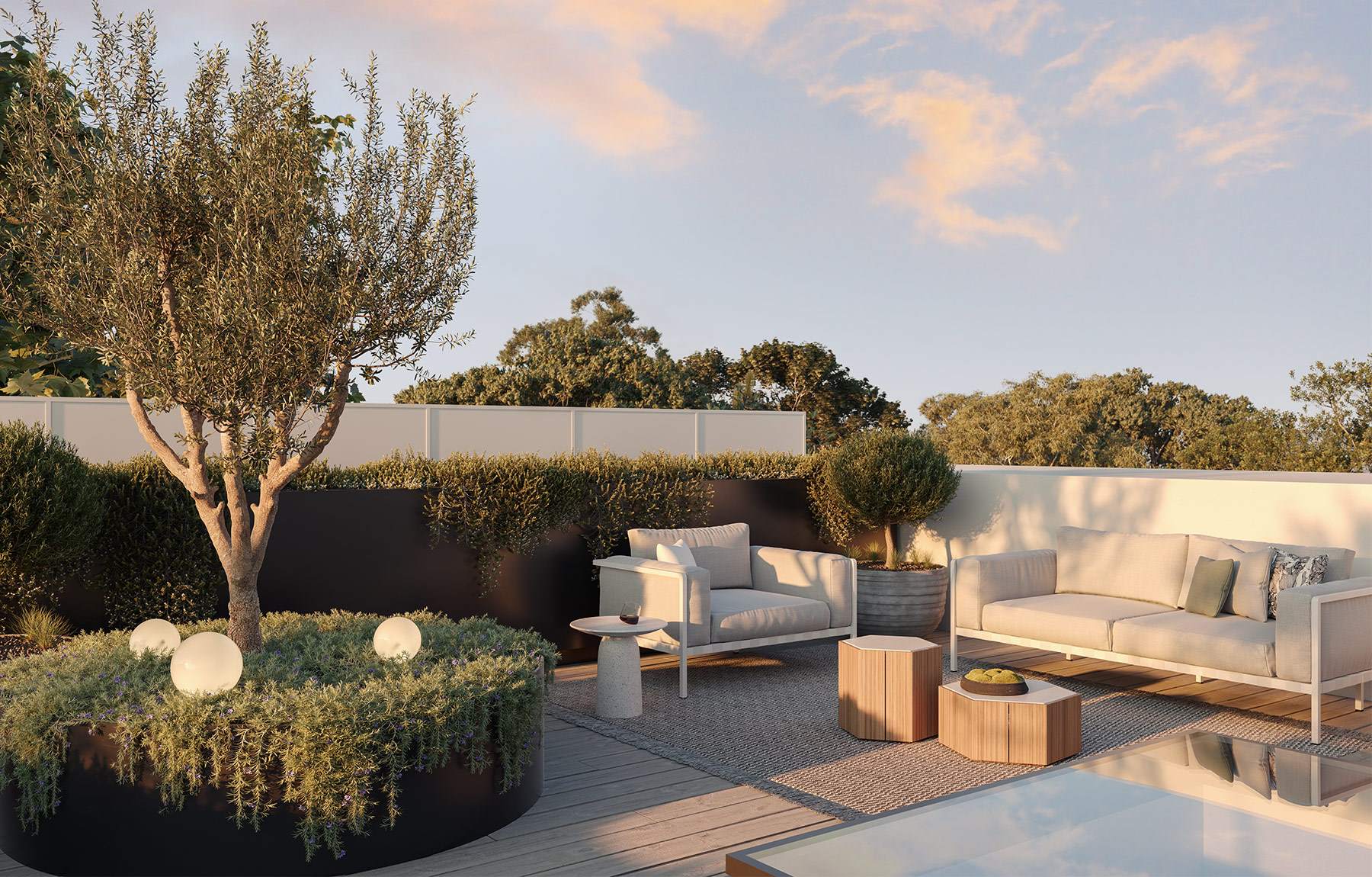

Property types for sale
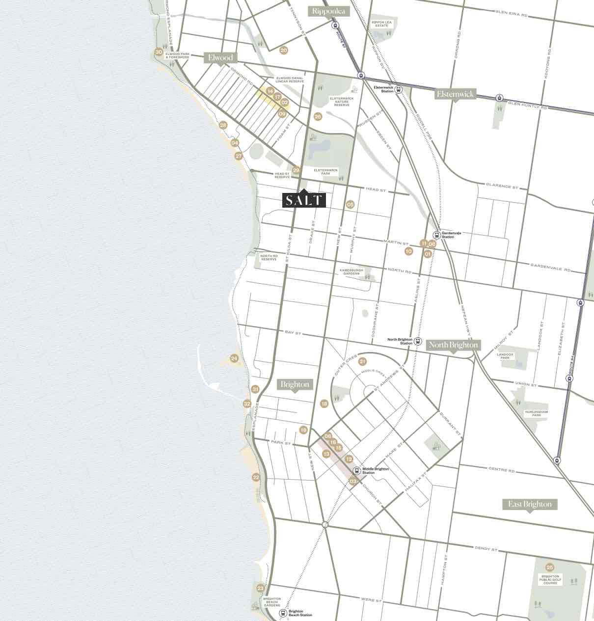
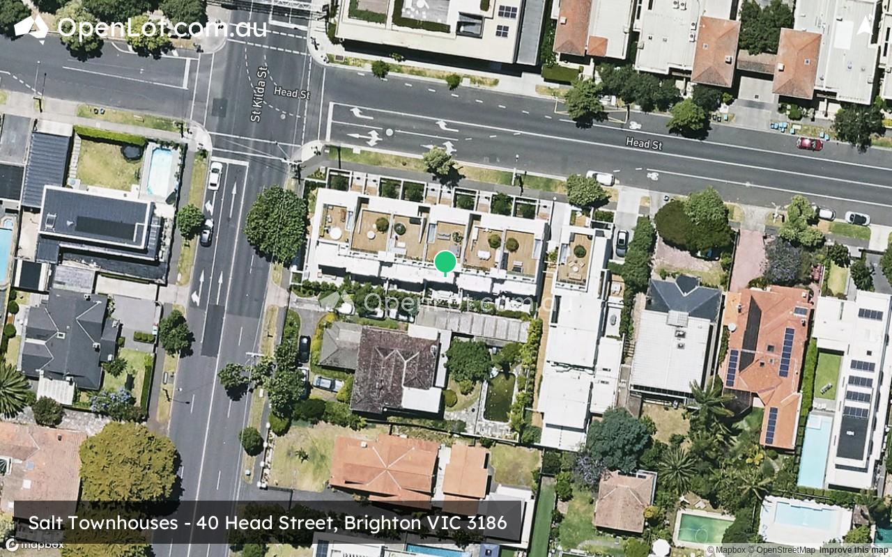
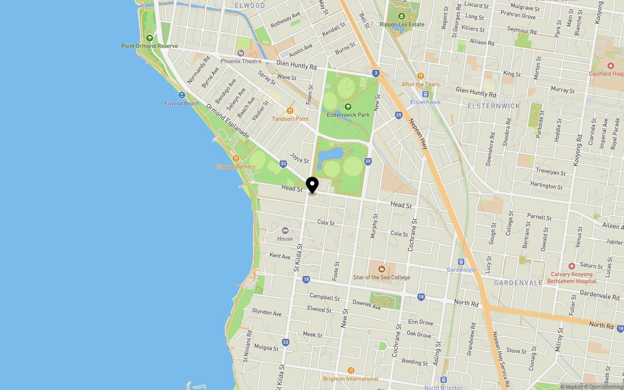
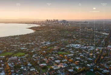
Location & Map for Salt Townhouses - Brighton
Schools near Salt Townhouses - Brighton
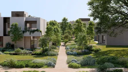
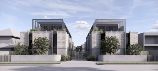
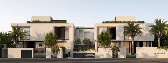
Overview
This information is estimated by the OpenLot research team. Let us know here to provide up-to-date information about this development.
| Total new homes | |
| Area Size | 0.14 hectares |
| Growth Region | Melbourne South East Growth Corridor |
| City Council | Bayside City Council |
| Developer | Buxton Projects |
| Creative Agency | Tomorrow Agency |
| Distance to |
Land Price Trend in Brighton VIC 3186
Below shows the price trend from vacant land sales recorded in Brighton VIC 3186.
The data and information provided by Terralytics (Aust) Pty Ltd (Terralytics Data) is general in nature and is not intended to constitute professional advice. Read more
It should not be relied upon as a substitute for legal, financial, valuation, or other specialist advice relevant to your specific circumstances.
Terralytics uses commercially reasonable endeavours to ensure the Terralytics Data is current and accurate. However, as the Terralytics Data incorporates information sourced from third parties, Terralytics makes no representation or warranty — express or implied — as to its accuracy, completeness, or currency. To the maximum extent permitted by applicable law, Terralytics excludes all liability for any loss or damage (including consequential loss) arising out of or in connection with reliance on the Terralytics Data, whether arising in contract, tort (including negligence), statute, or otherwise.
Popular Estates near Salt Townhouses - Brighton


Not exactly what you're looking for? Try surrounding suburbs
St Kilda VIC 3182
3 estates | Port Phillip City Council
4.9km north
Brighton East VIC 3187
5 estates | Bayside City Council
3.1km east
Balaclava VIC 3183
2 estates | Port Phillip City Council
4.3km north
Elsternwick VIC 3185
2 estates | Glen Eira City Council
3.6km north-east
Elwood VIC 3184
2 estates | Port Phillip City Council
3.1km north
Caulfield South VIC 3162
2 estates | Glen Eira City Council
4.5km east
Latest published articles


FAQs about Salt Townhouses - Brighton
Buxton Projects is the developer behind Salt Townhouses - Brighton.
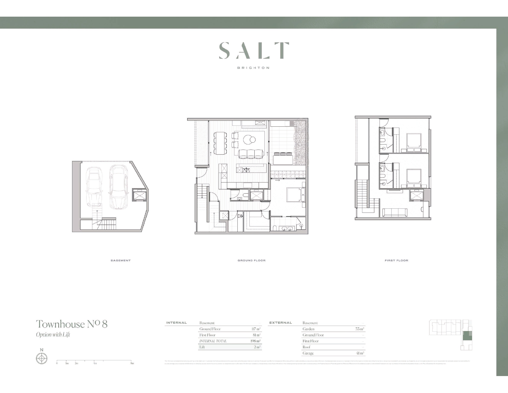
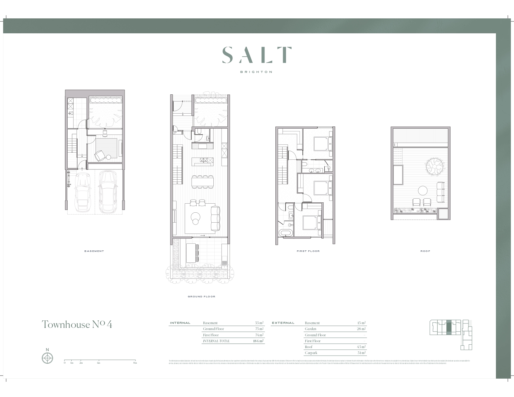
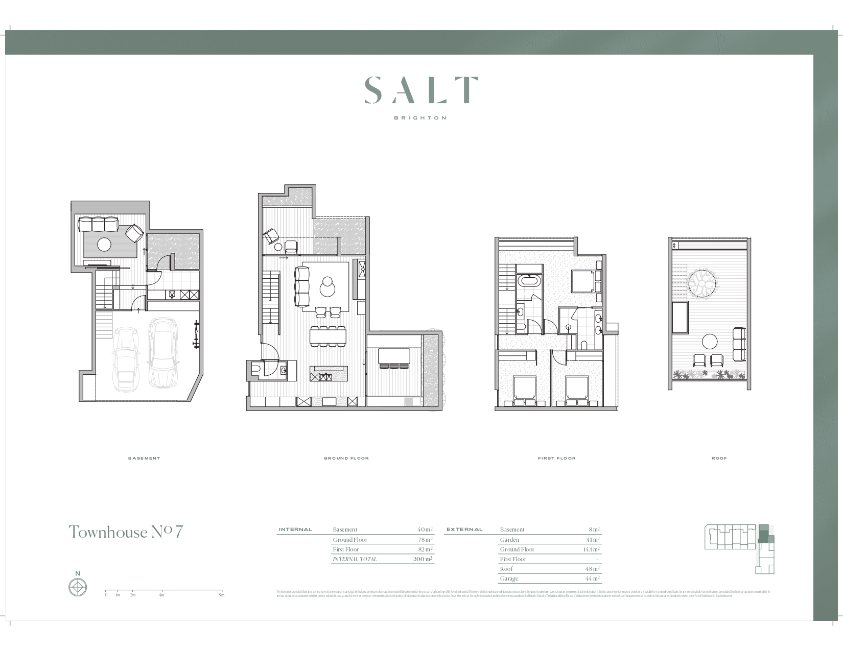
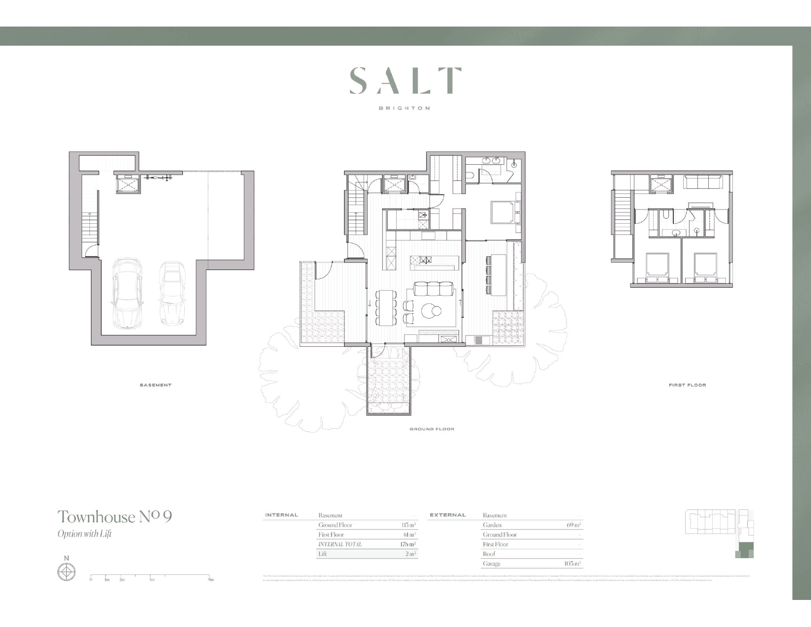
Salt Townhouses - Brighton consists of 9 homes.
The total area for Salt Townhouses - Brighton is 0.14 hectares.
Salt Townhouses - Brighton falls under Bayside City Council.
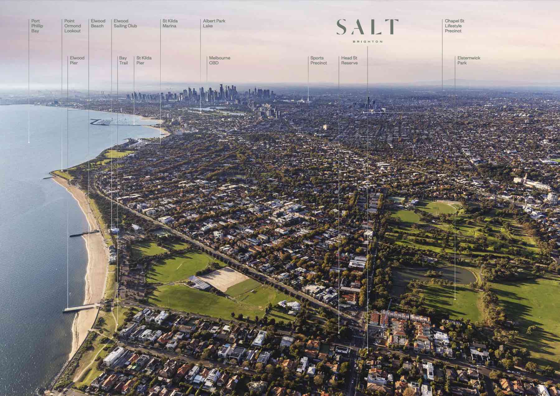
Salt Townhouses - Brighton is 9 km south of Melbourne CBD.
Nearby schools for Salt Townhouses - Brighton:
- Elsternwick Primary School - 554m east
- Star of the Sea College - 728m south-east
- St James' School - 879m south-east
- Elwood Primary School - 1.2km north
- Elwood College - 1.3km north-west
- St Columba's School - 1.4km north-west