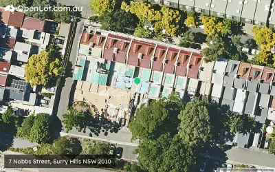
Housing Estates in Surry Hills, NSW 2010
1 result

Suburb Profile for Surry Hills NSW 2010
Land for Sale, House and Land Packages and Townhouses in Surry Hills NSW 2010 across 1 estate. Below are a snapshot of this suburb via buyer demand index.
| Total developments | 1 |
| City council | City of Sydney |
| Nearby distances |
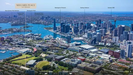
3 km south-east to Sydney CBD 8 km north-east to Sydney Airport |
Popular Estates near Surry Hills NSW 2010
Schools in Surry Hills NSW 2010
Suburbs near Surry Hills NSW 2010
Darlinghurst NSW 2010
1 estate | City of Sydney
625m north-east
Pyrmont NSW 2009
2 estates | City of Sydney
2.6km north-west
Woollahra NSW 2025
1 estate | Woollahra Municipal Council
2.6km east
Zetland NSW 2017
1 estate | City of Sydney
2.9km south
Glebe NSW 2037
1 estate | City of Sydney
3.0km west
Alexandria NSW 2015
2 estates | City of Sydney
3.6km south-west
Vacancy Rate in Surry Hills NSW 2010
View full vacancy rate history in Surry Hills NSW 2010 via SQM Research
FAQs about Surry Hills NSW 2010
Surry Hills NSW 2010 falls under City of Sydney.
Surry Hills NSW 2010 is near the following:
- 3 km south-east to Sydney CBD
- 8 km north-east to Sydney Airport
There are 6 schools registered in Surry Hills NSW 2010.
- Crown Street Public School
- Sydney Distance Education Primary School
- Bourke Street Public School
- Sydney Girls High School
- Oasis College Surry Hills
- Inner Sydney High School
There are 6 suburbs near Surry Hills NSW 2010.
