
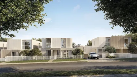
Property types for sale
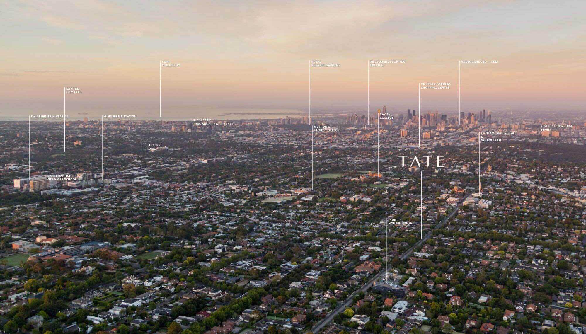
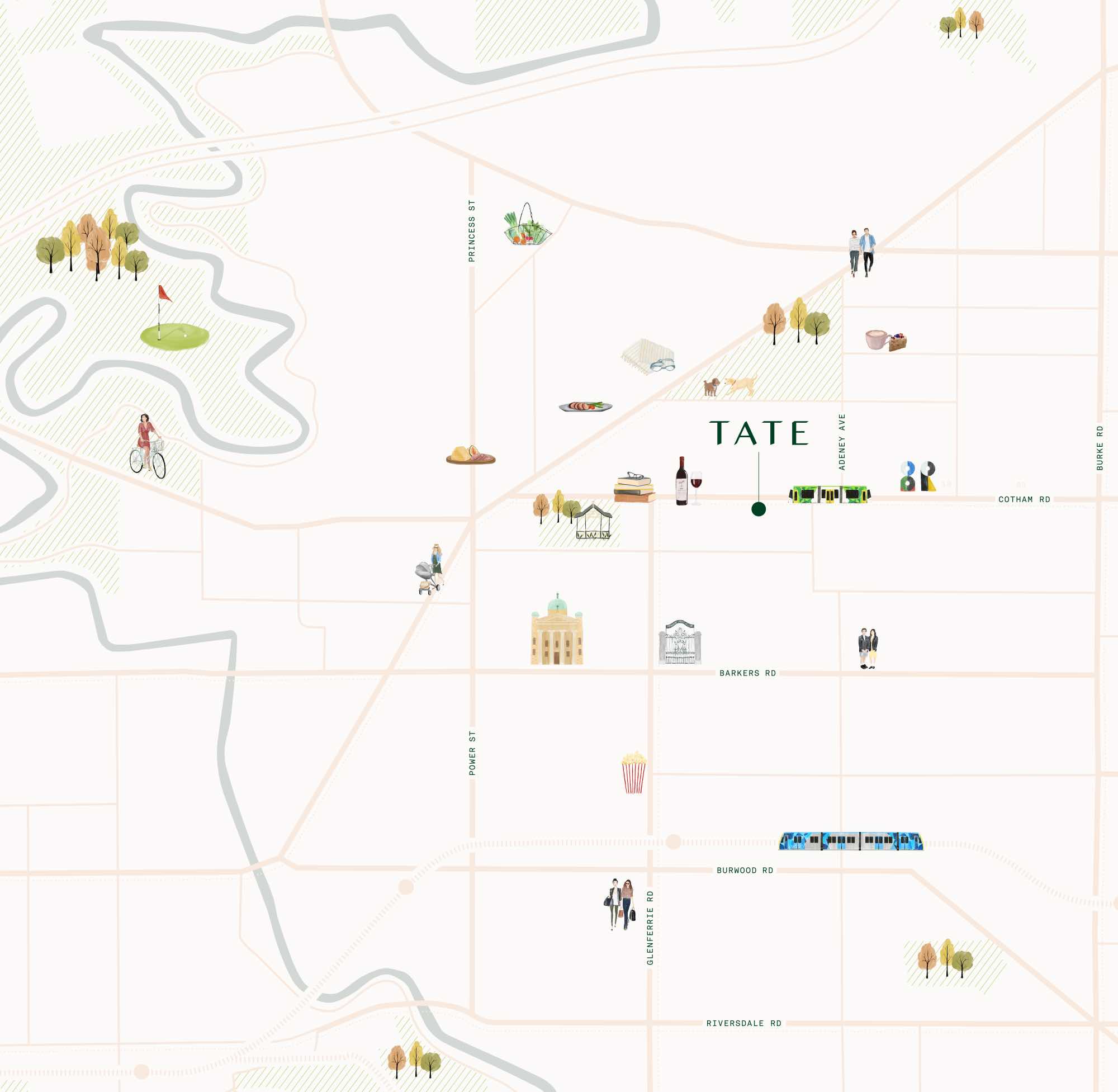
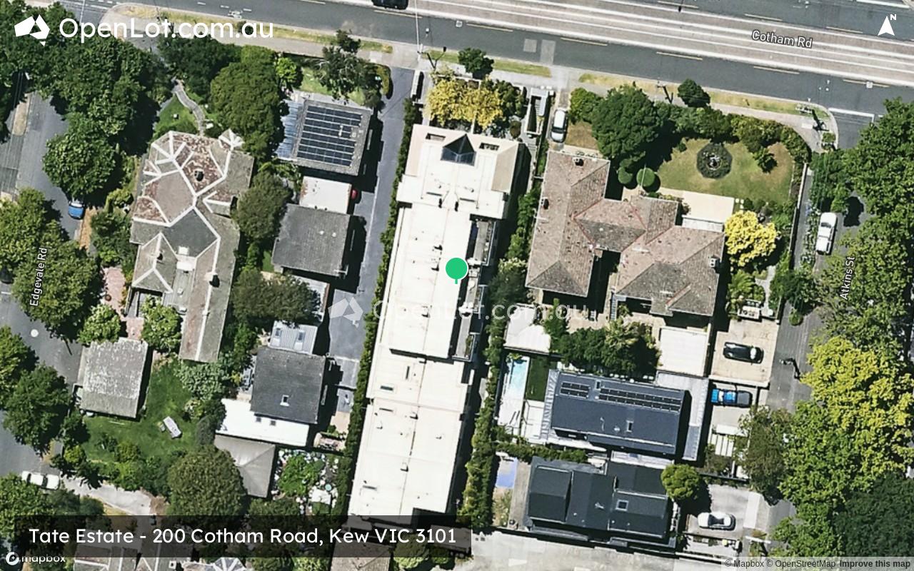
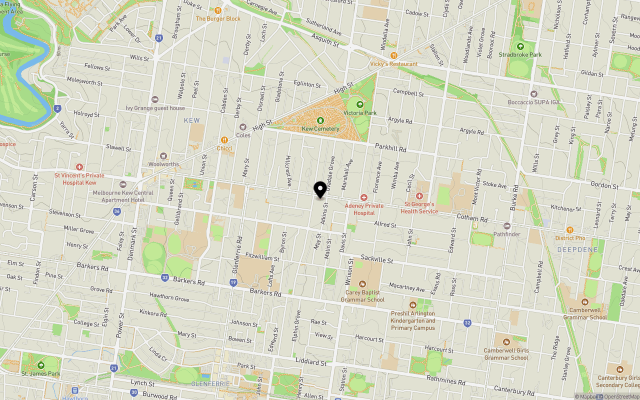
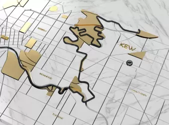
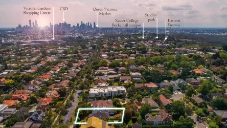
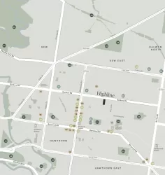
Location & Map for Tate Estate - Kew
Schools near Tate Estate - Kew
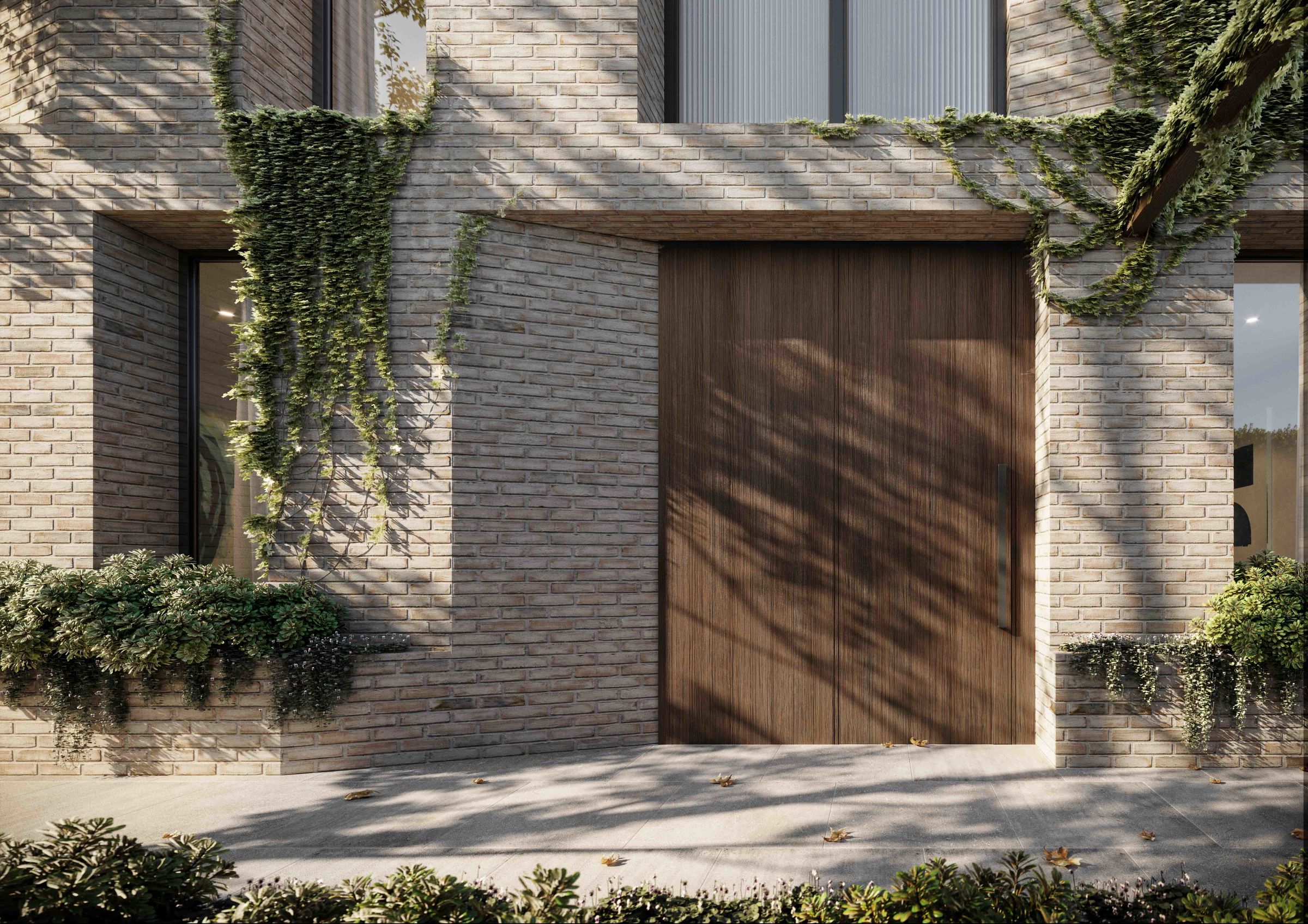
Overview
This information is estimated by the OpenLot research team. Let us know here to provide up-to-date information about this development.
| Total new homes | |
| Area Size | 0.10 hectares |
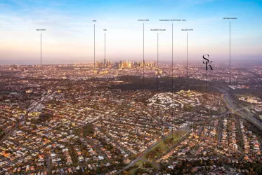
| Growth Region | Melbourne East |
| City Council | Boroondara City Council |
| Developer | ANGLE |
| Creative Agency | Earl.St |
| Distance to |
Updates for Tate Estate - Kew
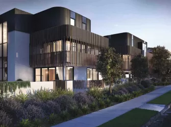
Popular Estates near Tate Estate - Kew


Not exactly what you're looking for? Try surrounding suburbs
Alphington VIC 3078
4 estates | Yarra City Council
2.7km north
Abbotsford VIC 3067
1 estate | Yarra City Council
1.3km west
Richmond VIC 3121
3 estates | Yarra City Council
2.8km south-west
Hawthorn VIC 3122
5 estates | Boroondara City Council
3.1km south
Burnley VIC 3121
3 estates | Yarra City Council
3.1km south
Clifton Hill VIC 3068
1 estate | Yarra City Council
2.1km north-west
Latest published articles


FAQs about Tate Estate - Kew
ANGLE is the developer behind Tate Estate - Kew.
Tate Estate - Kew consists of 8 homes.
The total area for Tate Estate - Kew is 0.10 hectares.
Tate Estate - Kew falls under Boroondara City Council.
Tate Estate - Kew is 7 km east of Melbourne CBD.
Nearby schools for Tate Estate - Kew:
- Ruyton Girls' School - 554m south-west
- Sacred Heart School - 610m west
- Trinity Grammar School Kew - 794m west
- Andale School - 813m north-west
- Carey Baptist Grammar School - 847m south
- Methodist Ladies' College - 848m south-west