
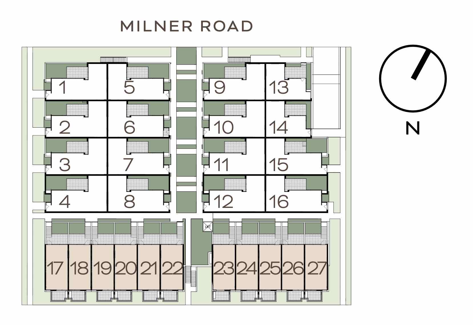
Property types for sale
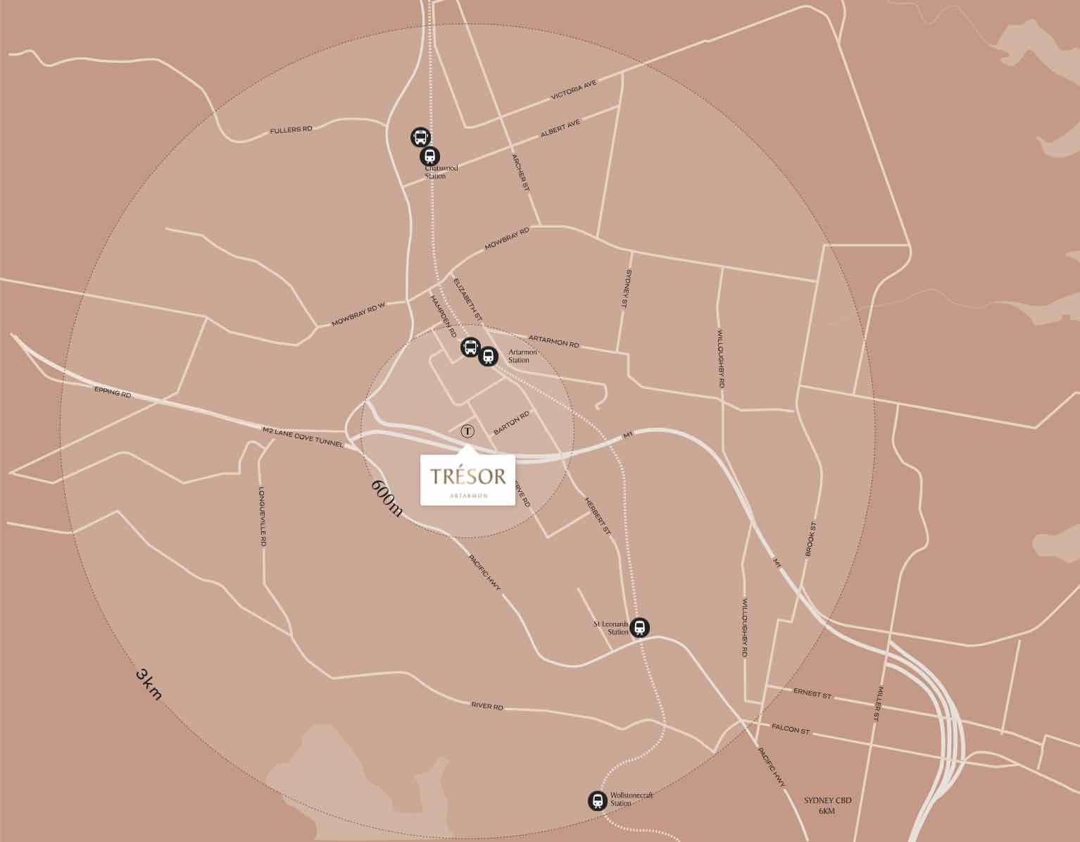
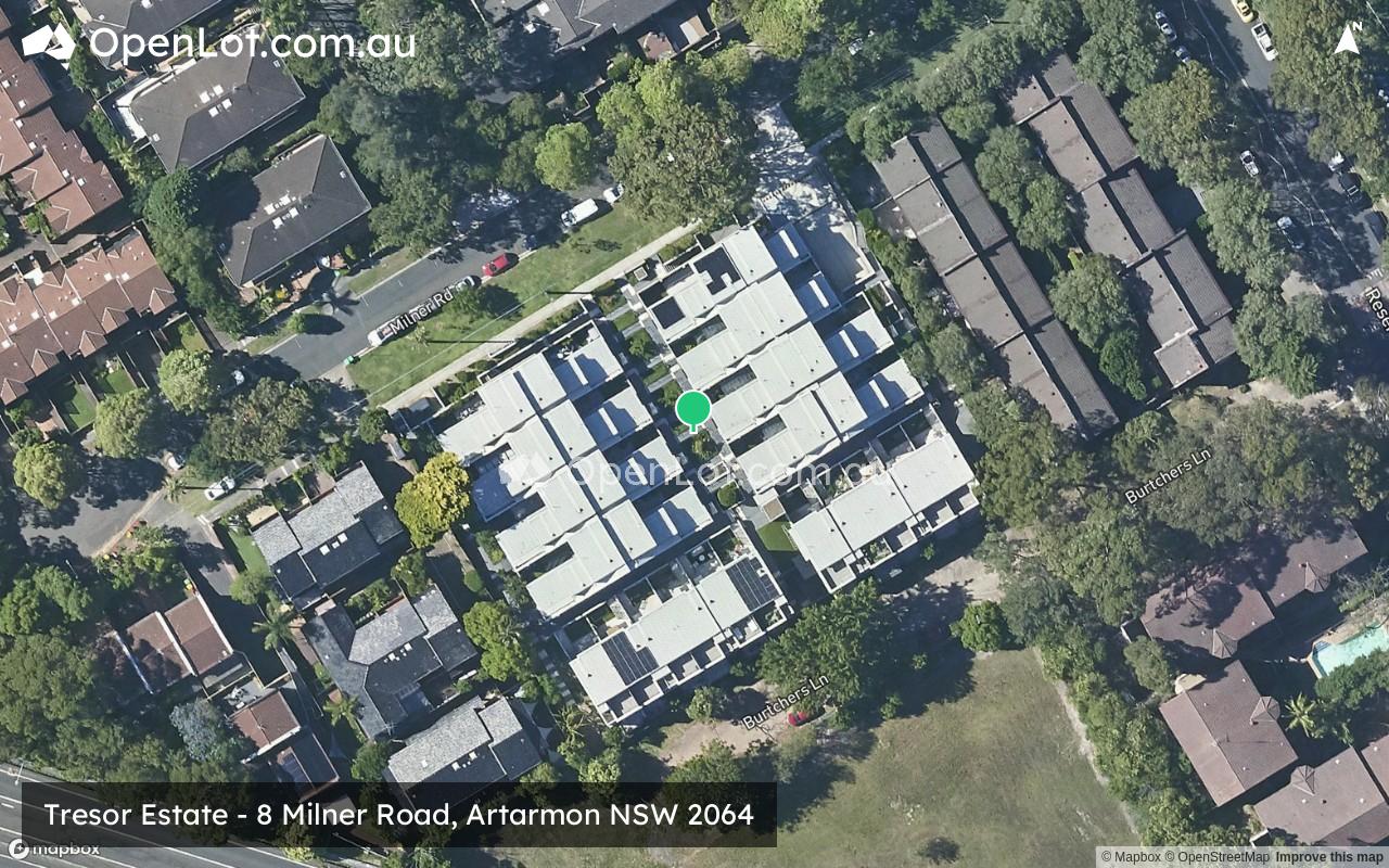
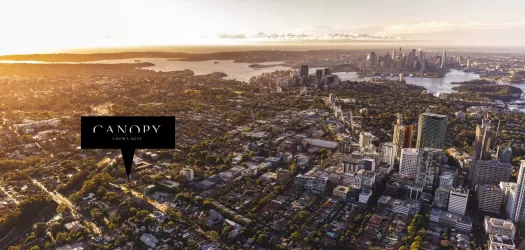
Location & Map for Tresor Estate - Artarmon
Schools near Tresor Estate - Artarmon
Tresor Artarmon Video
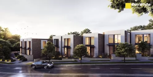
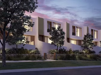
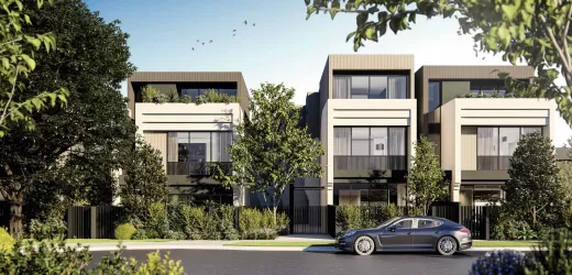
Overview
This information is estimated by the OpenLot research team. Let us know here to provide up-to-date information about this development.
| Total new homes | |
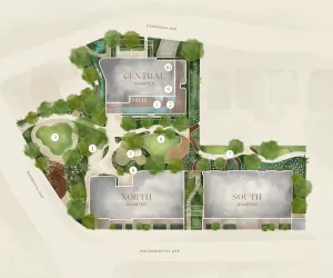
| Area Size | 0.39 hectares |
| Growth Region | Sydney North West Growth Areas |
| City Council | Willoughby City Council |
| Developer | Truslan Group |
| Distance to |
Updates for Tresor Estate - Artarmon
Popular Estates near Tresor Estate - Artarmon

Not exactly what you're looking for? Try surrounding suburbs
Willoughby NSW 2068
3 estates | Willoughby City Council
2.1km east
Naremburn NSW 2065
1 estate | Willoughby City Council
2.2km east
Chatswood NSW 2067
1 estate | Willoughby City Council
1.8km north
Crows Nest NSW 2065
2 estates | North Sydney Council
2.6km south-east
St Leonards NSW 2065
1 estate | Lane Cove Council
1.6km south-east
Lane Cove NSW 2066
1 estate | Lane Cove Council
1.7km south-west
Latest published articles


FAQs about Tresor Estate - Artarmon
Truslan Group is the developer behind Tresor Estate - Artarmon.
Tresor Estate - Artarmon consists of 27 homes.
The total area for Tresor Estate - Artarmon is 0.39 hectares.
Tresor Estate - Artarmon falls under Willoughby City Council.
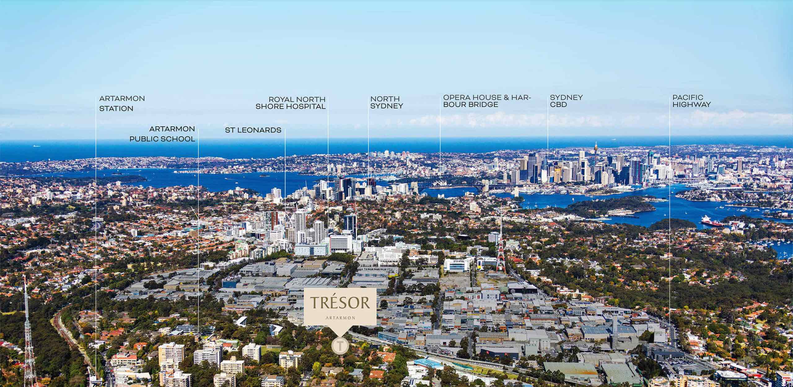
Tresor Estate - Artarmon is 6 km north of Sydney CBD.
Nearby schools for Tresor Estate - Artarmon:
- Artarmon Public School - 294m east
- Bradfield College - 1.0km south-east
- Royal North Shore Hospital School - 1.3km south-east
- Lane Cove Public School - 1.4km west
- St Michael's Catholic Primary School - 1.4km south-west
- International Chinese School - 1.5km south-east