
Property types for sale
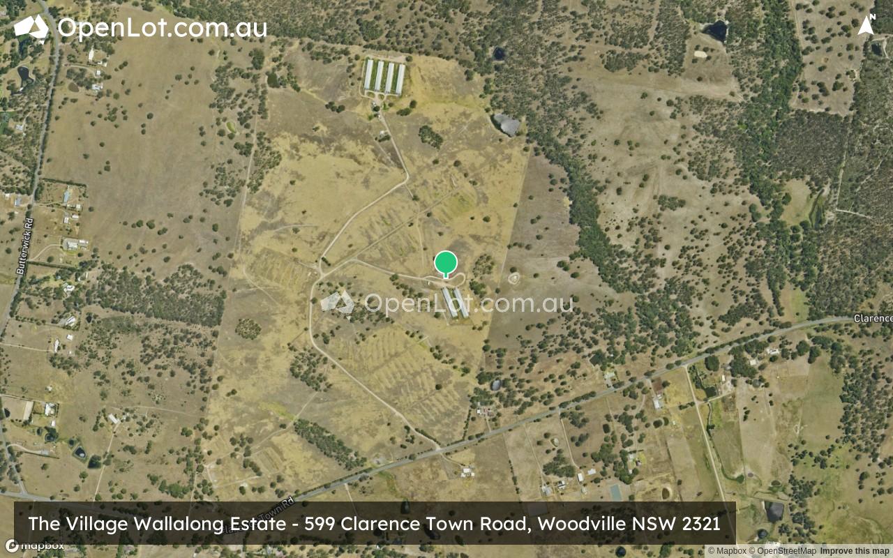
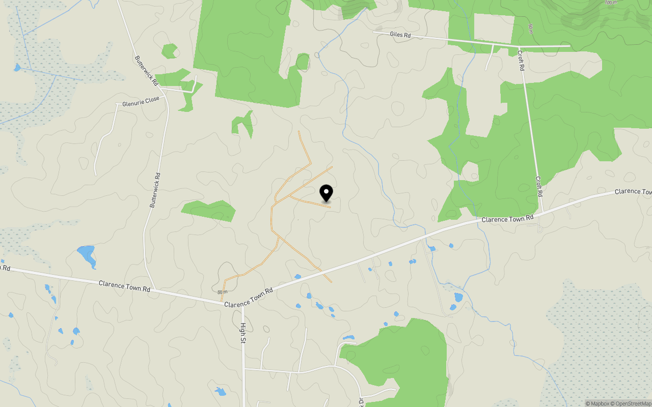
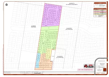
Location & Map for The Village Wallalong Estate - Woodville
Schools near The Village Wallalong Estate - Woodville
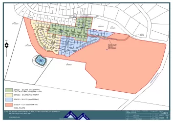
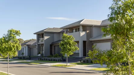
Overview
This information is estimated by the OpenLot research team. Let us know here to provide up-to-date information about this development.
| Total new homes | |
| Area Size | 172.58 hectares |
| Growth Region | Greater Newcastle Growth Areas (The Hunter Region) |
| City Council | Port Stephens Council |
| Developer | N/A |
| Distance to |
Updates for The Village Wallalong Estate - Woodville

Popular Estates near The Village Wallalong Estate - Woodville

Not exactly what you're looking for? Try surrounding suburbs
Rutherford NSW 2320
1 estate | Maitland City Council
11.5km south-west
East Maitland NSW 2323
2 estates | Maitland City Council
11.6km south
Aberglasslyn NSW 2320
3 estates | Maitland City Council
8.8km west
Gosforth NSW 2320
1 estate | Maitland City Council
11.7km west
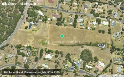
Bolwarra Heights NSW 2320
1 estate | Maitland City Council
4.1km south-west
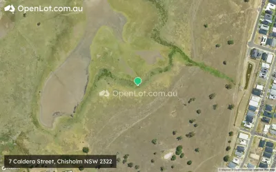
Chisholm NSW 2322
6 estates | Maitland City Council
10.1km south
Latest published articles


FAQs about The Village Wallalong Estate - Woodville
The Village Wallalong Estate - Woodville consists of 3,500 homes.
The total area for The Village Wallalong Estate - Woodville is 172.58 hectares.
The Village Wallalong Estate - Woodville falls under Port Stephens Council.
The Village Wallalong Estate - Woodville is 31 km north of Newcastle CBD.
Nearby schools for The Village Wallalong Estate - Woodville:
- Hinton Public School - 4.9km south
- Iona Public School - 5.0km west
- Largs Public School - 5.7km south-west
- Morpeth Public School - 6.3km south
- Seaham Public School - 6.9km east
- Mount Kanwary Public School - 6.9km south-east