

Property types for sale
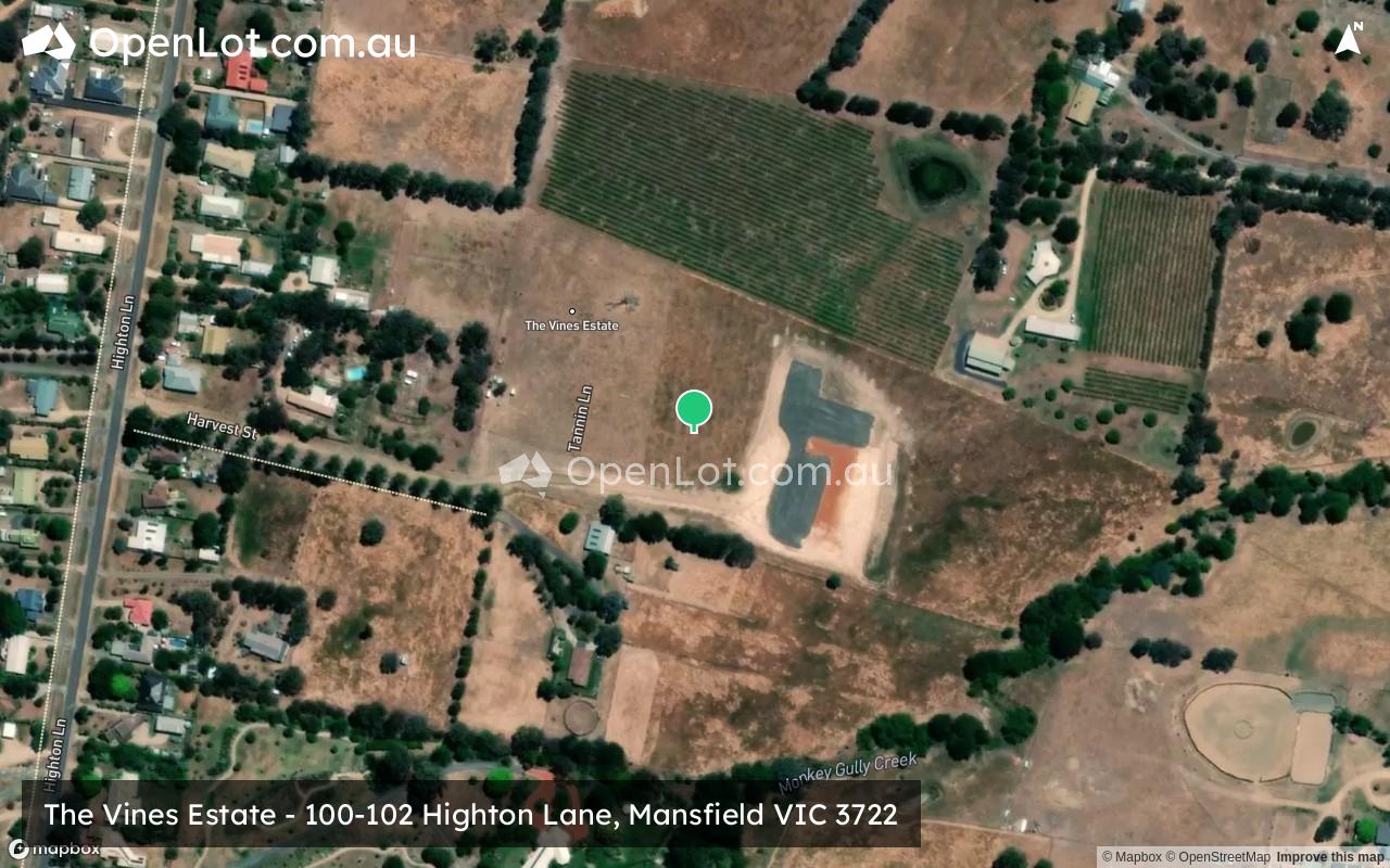
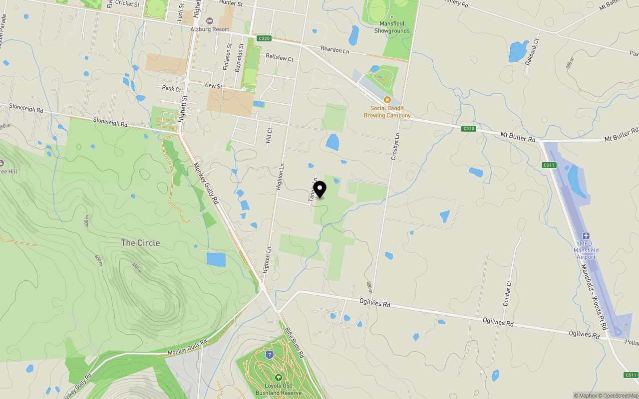
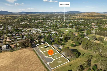
Location & Map for The Vines Estate - Mansfield
Schools near The Vines Estate - Mansfield
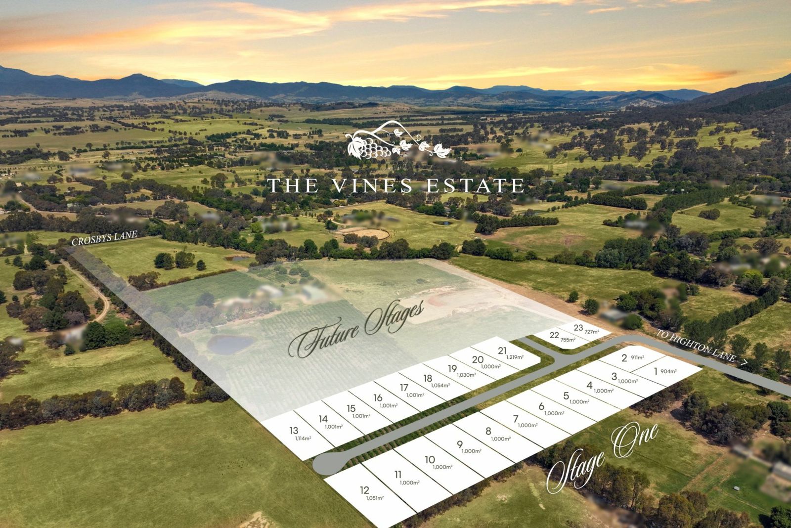
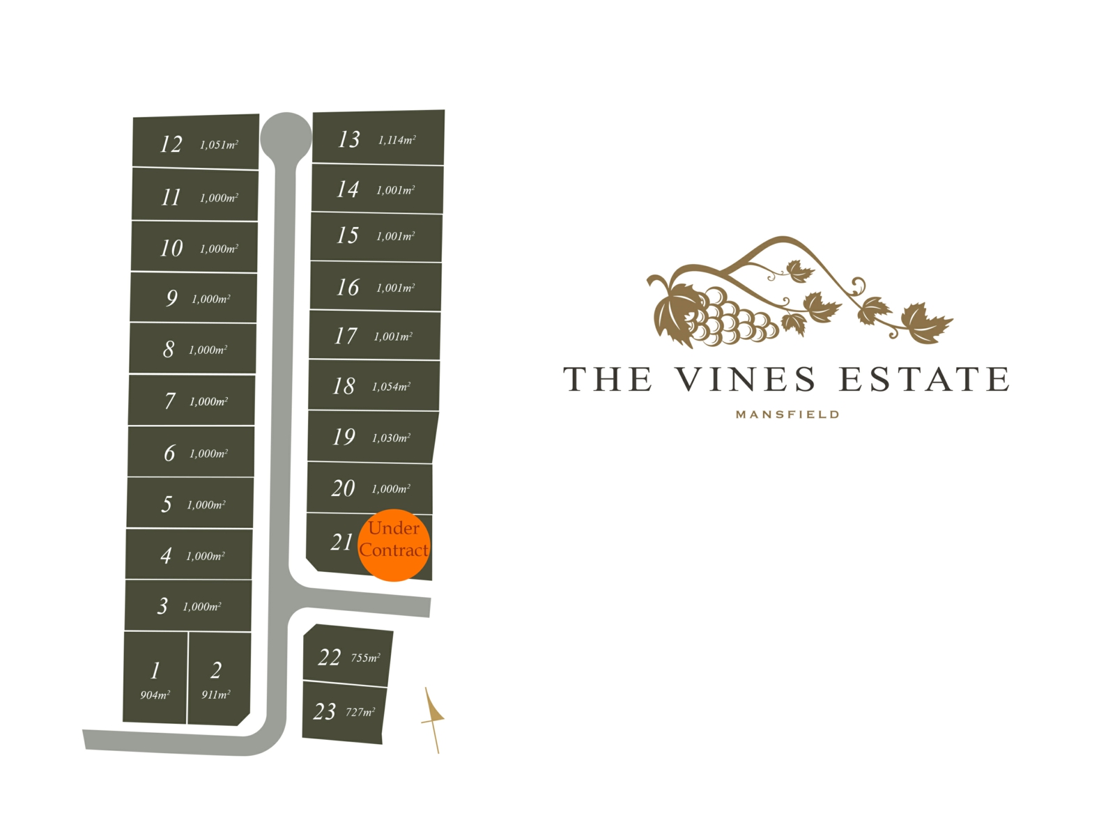
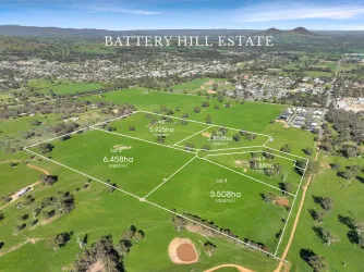
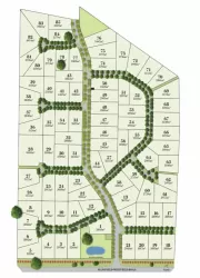
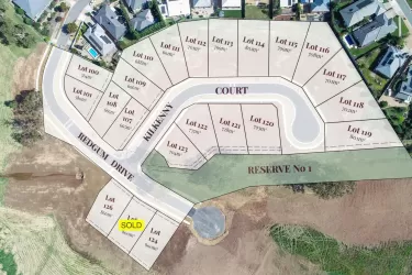
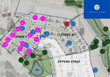
Overview
This information is estimated by the OpenLot research team. Let us know here to provide up-to-date information about this development.
| Total new homes | |
| Area Size | 14.40 hectares |
| City Council | Mansfield Shire Council |
| Developer | N/A |
| Project Marketer | McGrath Mansfield |
Land Price Trend in Mansfield VIC 3722
Below shows the price trend from vacant land sales recorded in Mansfield VIC 3722.
The data and information provided by Terralytics (Aust) Pty Ltd (Terralytics Data) is general in nature and is not intended to constitute professional advice. Read more
It should not be relied upon as a substitute for legal, financial, valuation, or other specialist advice relevant to your specific circumstances.
Terralytics uses commercially reasonable endeavours to ensure the Terralytics Data is current and accurate. However, as the Terralytics Data incorporates information sourced from third parties, Terralytics makes no representation or warranty — express or implied — as to its accuracy, completeness, or currency. To the maximum extent permitted by applicable law, Terralytics excludes all liability for any loss or damage (including consequential loss) arising out of or in connection with reliance on the Terralytics Data, whether arising in contract, tort (including negligence), statute, or otherwise.
Popular Estates near The Vines Estate - Mansfield

Not exactly what you're looking for? Try surrounding suburbs
Benalla VIC 3672
18 estates | Benalla Rural City Council
56.4km north
Euroa VIC 3666
4 estates | Strathbogie Shire Council
58.9km north-west
Alexandra VIC 3714
3 estates | Murrindindi Shire Council
37.4km south-west
Bonnie Doon VIC 3720
1 estate | Mansfield Shire Council
24.8km west
Marysville VIC 3779
2 estates | Murrindindi Shire Council
61.2km south-west
Yarck VIC 3719
1 estate | Murrindindi Shire Council
42.8km west
Latest published articles


FAQs about The Vines Estate - Mansfield
The Vines Estate - Mansfield consists of 70 homes.
The total area for The Vines Estate - Mansfield is 14.40 hectares.
The Vines Estate - Mansfield falls under Mansfield Shire Council.
McGrath Mansfield is the project marketer for The Vines Estate - Mansfield.
Nearby schools for The Vines Estate - Mansfield:
- Mansfield Secondary College - 1.1km north-west
- Mansfield Rudolf Steiner School - 1.4km north-west
- Mansfield Autism Statewide Services - 1.5km north-west
- St Mary's School - 1.6km north-west
- Mansfield Primary School - 2.0km north-west
- Merrijig Primary School - 14.6km east