
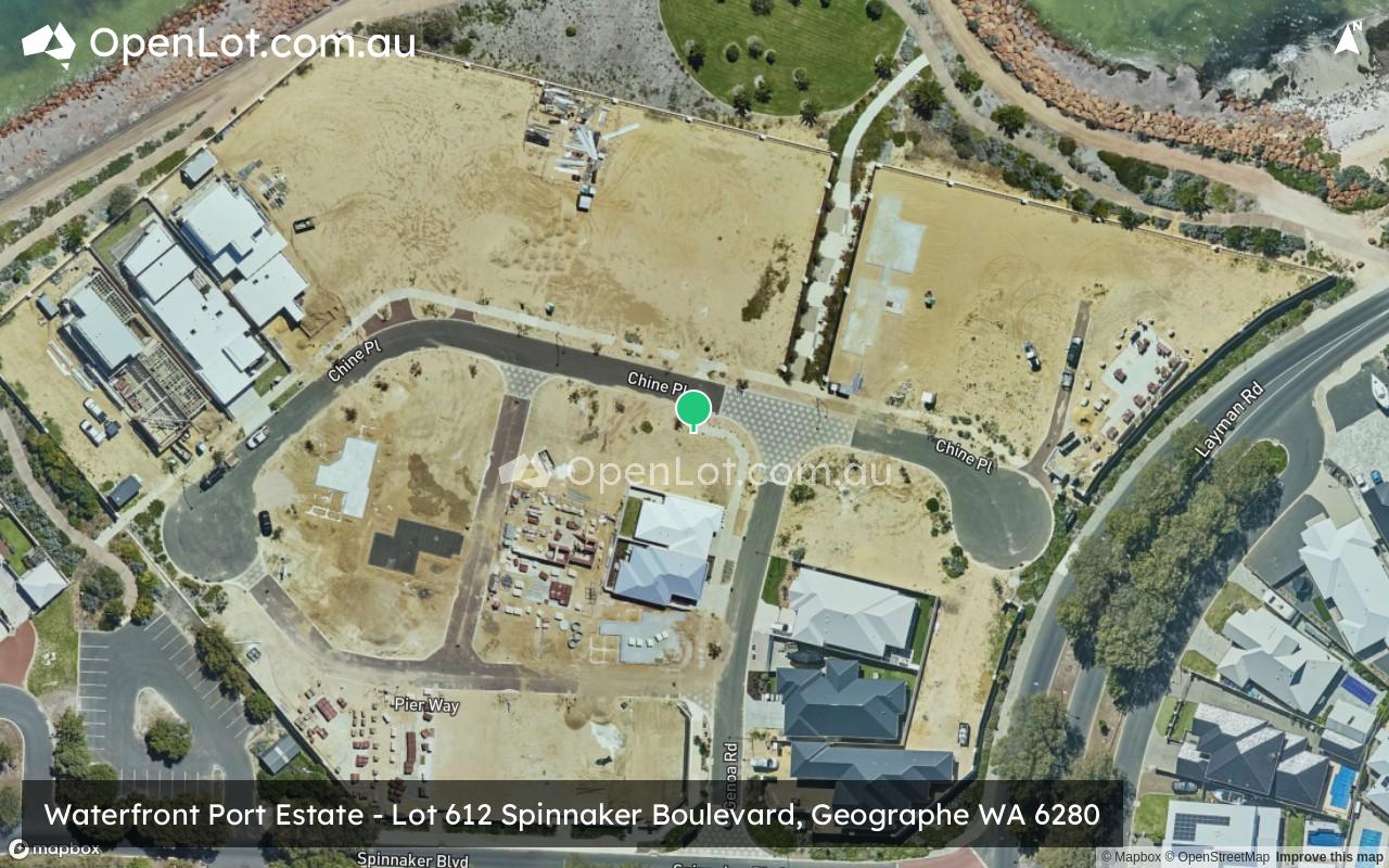
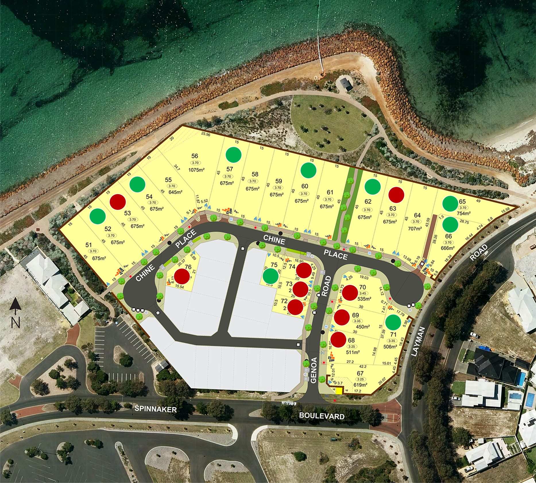
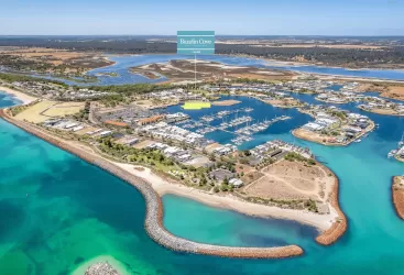
Waterfront Port Estate - Geographe
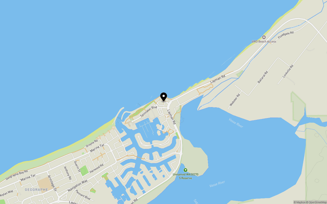
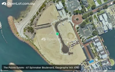
Location & Map for Waterfront Port Estate - Geographe
Schools near Waterfront Port Estate - Geographe
Waterfront Port Geographe Video
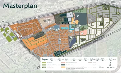
Overview
This information is estimated by the OpenLot research team. Let us know here to provide up-to-date information about this development.
| Total new homes | |
| Area Size | N/A |
| Growth Region | Bunbury (The South West Region) |
| City Council | City of Busselton |
| Developer | N/A |
Updates for Waterfront Port Estate - Geographe
Popular Estates near Waterfront Port Estate - Geographe

Not exactly what you're looking for? Try surrounding suburbs
Broadwater WA 6280
2 estates | City of Busselton
9.8km west
Kealy WA 6280
1 estate | City of Busselton
14.5km west
Yalyalup WA 6280
1 estate | City of Busselton
3.6km south
Vasse WA 6280
1 estate | City of Busselton
12.4km south-west
Busselton WA 6280
1 estate | City of Busselton
3.5km south-west
West Busselton WA 6280
1 estate | City of Busselton
6.3km west
Latest published articles


FAQs about Waterfront Port Estate - Geographe
Waterfront Port Estate - Geographe consists of 25 homes.
Waterfront Port Estate - Geographe falls under City of Busselton.
Nearby schools for Waterfront Port Estate - Geographe:
- Busselton Primary School - 2.2km south-west
- Georgiana Molloy Anglican School - 4.0km south
- St Mary MacKillop College - 7.3km south-west
- Busselton Senior High School - 7.3km south-west
- Geographe Primary School - 7.6km south-west
- Geographe Education Support Centre - 7.6km south-west