
Property types for sale
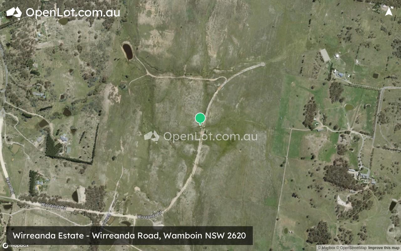
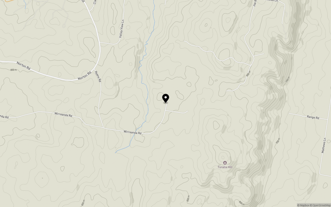
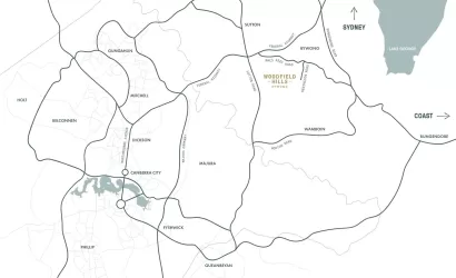
Location & Map for Wirreanda Estate - Wamboin
Schools near Wirreanda Estate - Wamboin
Wirreanda Wamboin Video
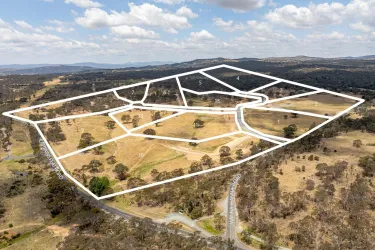
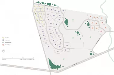
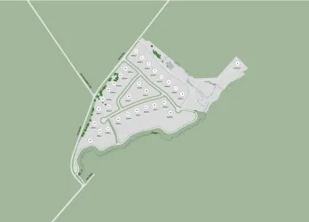
Overview
This information is estimated by the OpenLot research team. Let us know here to provide up-to-date information about this development.
| Total new homes | |
| Area Size | N/A |
| Growth Region | Canberra Growth Regions |
| City Council | Queanbeyan-Palerang Regional Council |
| Developer | N/A |
| Project Marketer | All Real Estate NSW |
| Distance to |
Updates for Wirreanda Estate - Wamboin

Popular Estates near Wirreanda Estate - Wamboin

Not exactly what you're looking for? Try surrounding suburbs
Bywong NSW 2621
1 estate | Queanbeyan-Palerang Regional Council
8.6km north-west
Sutton NSW 2620
3 estates | Yass Valley Council
15.6km north-west
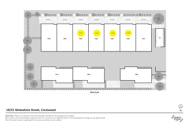
Crestwood NSW 2620
1 estate | Queanbeyan-Palerang Regional Council
15.5km south-west
Queanbeyan NSW 2620
1 estate | Queanbeyan-Palerang Regional Council
15.2km south-west
Kenny ACT 2911
1 estate | Australian Capital Territory
15.8km west
Carwoola NSW 2620
1 estate | Queanbeyan-Palerang Regional Council
14.2km south
Latest published articles


FAQs about Wirreanda Estate - Wamboin
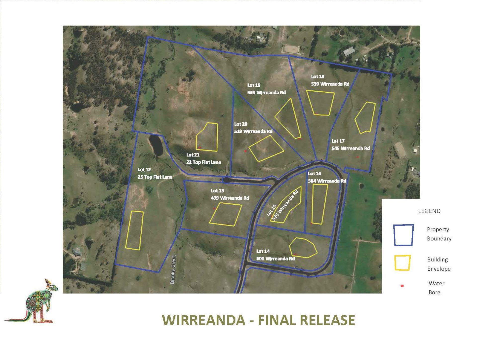
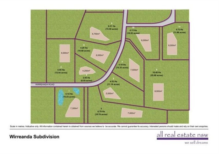
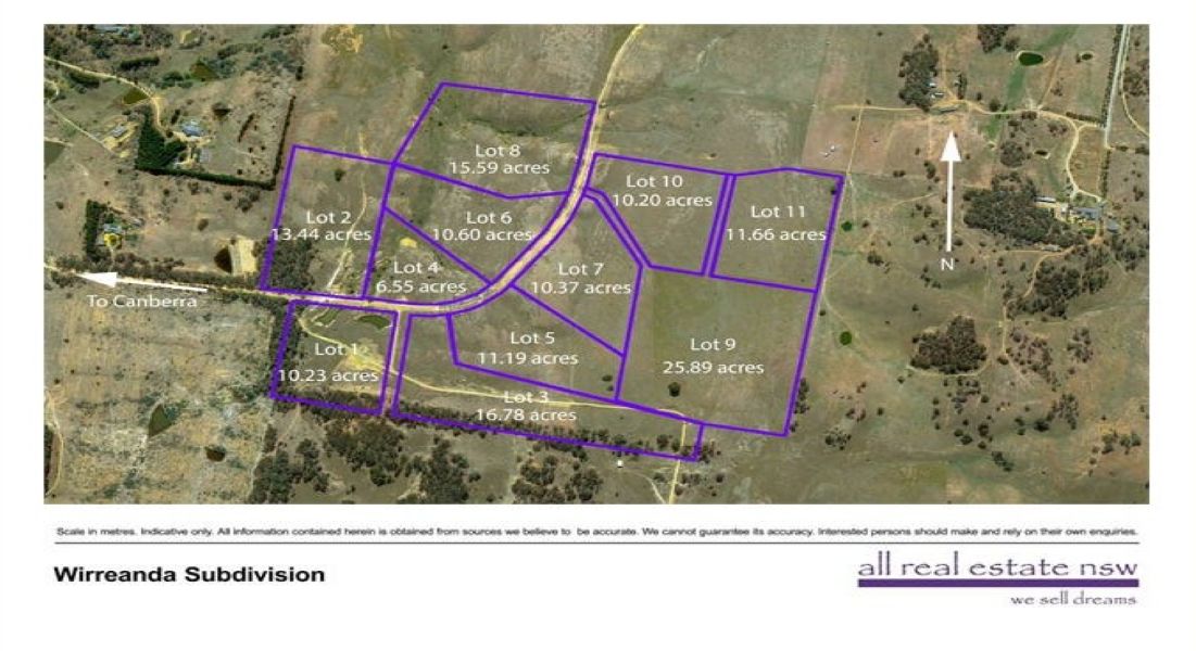
Wirreanda Estate - Wamboin consists of 21 homes.
Wirreanda Estate - Wamboin falls under Queanbeyan-Palerang Regional Council.
Wirreanda Estate - Wamboin is 24 km east of Canberra CBD.
All Real Estate NSW is the project marketer for Wirreanda Estate - Wamboin.
Nearby schools for Wirreanda Estate - Wamboin:
- Bungendore Public School - 5.8km east
- Bungendore High School - 5.9km east
- Sutton Public School - 15.0km north-west
- Queanbeyan East Public School - 15.9km south-west
- St Gregory's Primary School - 16.9km south-west
- Queanbeyan Public School - 17.5km south-west