
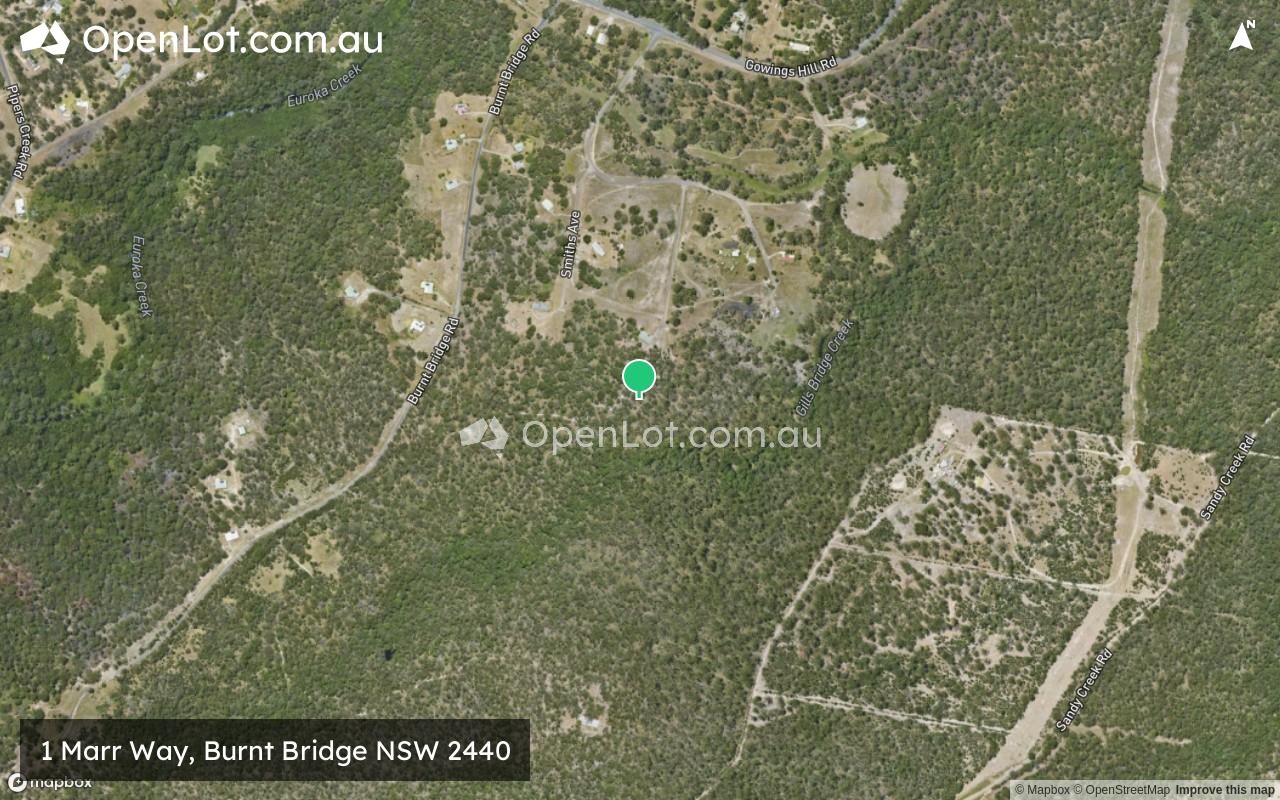
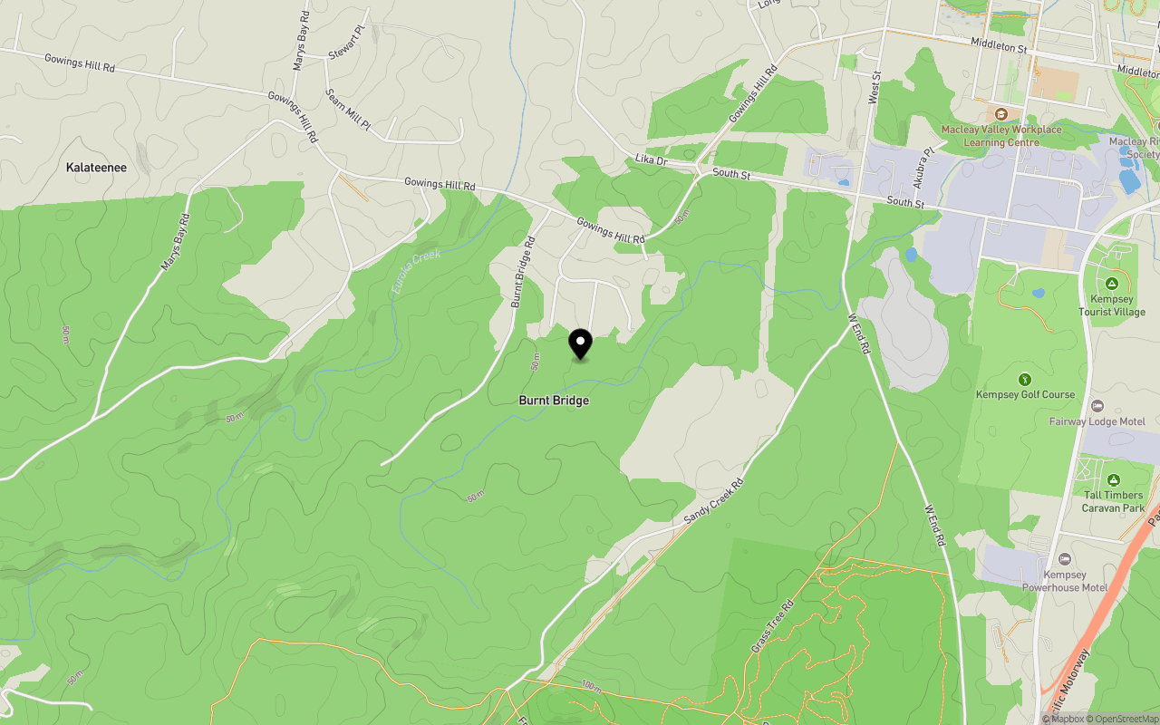
Location & Map for 1 Marr Way, Burnt Bridge NSW 2440
Schools near 1 Marr Way, Burnt Bridge NSW 2440
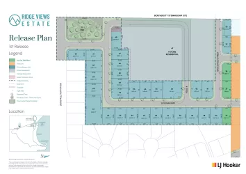
Overview
This information is estimated by the OpenLot research team. Let us know here to provide up-to-date information about this development.
| Total new homes | |
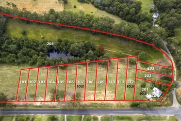
| Area Size | 75.26 hectares |
| City Council | Kempsey Shire Council |
| Developer | N/A |
Updates for 1 Marr Way, Burnt Bridge
Popular Estates near 1 Marr Way, Burnt Bridge


Not exactly what you're looking for? Try surrounding suburbs
South West Rocks NSW 2431
5 estates | Kempsey Shire Council
31.7km north-east
Verges Creek NSW 2440
1 estate | Kempsey Shire Council
9.0km east
Crescent Head NSW 2440
1 estate | Kempsey Shire Council
12.7km south-east
Sancrox NSW 2446
1 estate | Port Macquarie-Hastings Council
37.2km south
West Kempsey NSW 2440
1 estate | Kempsey Shire Council
6.0km north-east
Eungai Creek NSW 2441
1 estate | Nambucca Valley Council
32.5km north
Latest published articles


FAQs about 1 Marr Way, Burnt Bridge NSW 2440
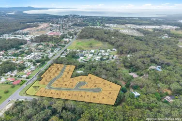
1 Marr Way, Burnt Bridge NSW 2440 consists of 21 homes.
The total area for 1 Marr Way, Burnt Bridge NSW 2440 is 75.26 hectares.
1 Marr Way, Burnt Bridge NSW 2440 falls under Kempsey Shire Council.
Nearby schools for 1 Marr Way, Burnt Bridge NSW 2440:
- Macleay Vocational College - 1.7km north-east
- Melville High School - 2.4km north-east
- Kempsey South Public School - 2.5km north-east
- Kempsey Adventist School - 3.3km east
- Kempsey West Public School - 3.7km north-east
- St Joseph's Primary School - 4.1km north-east