
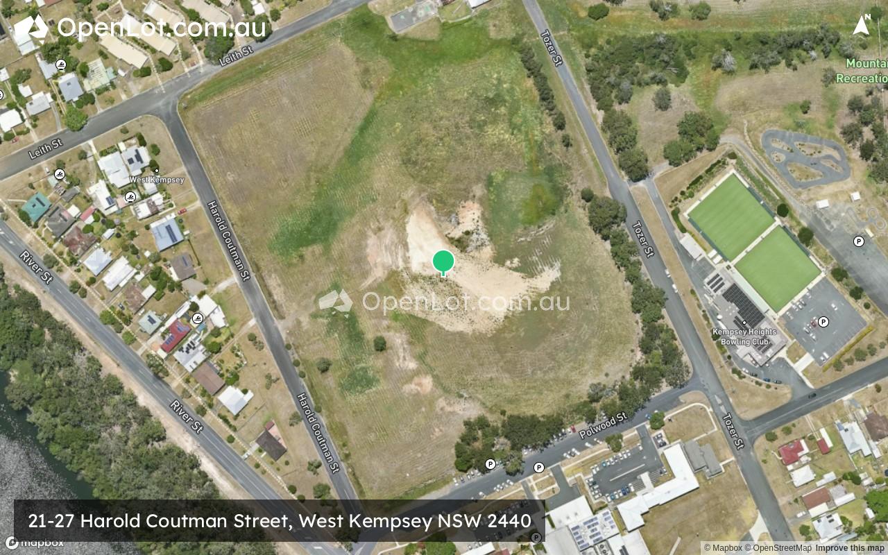
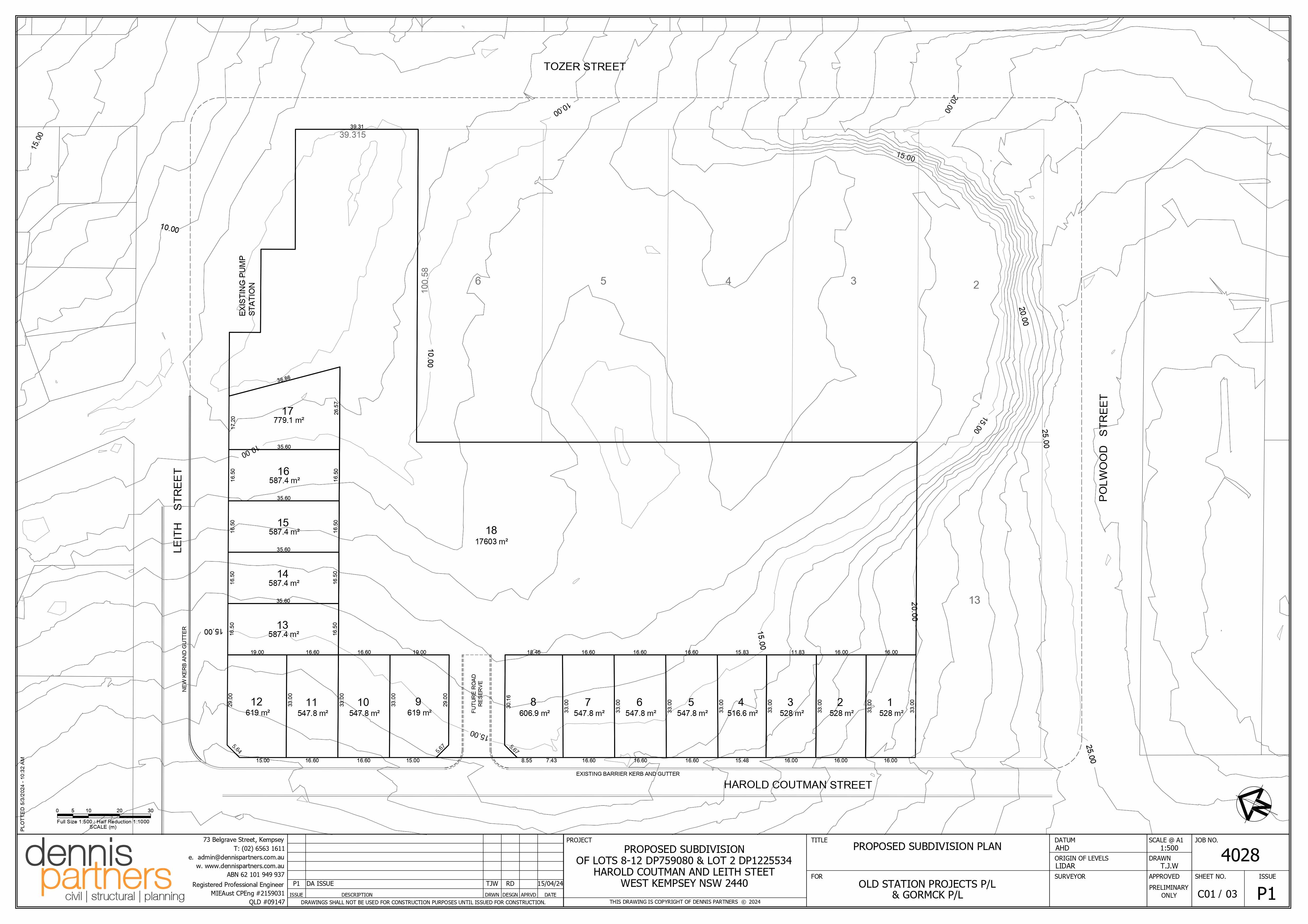
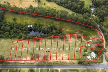
21-27 Harold Coutman Street, West Kempsey NSW 2440
Location & Map for 21-27 Harold Coutman Street, West Kempsey NSW 2440
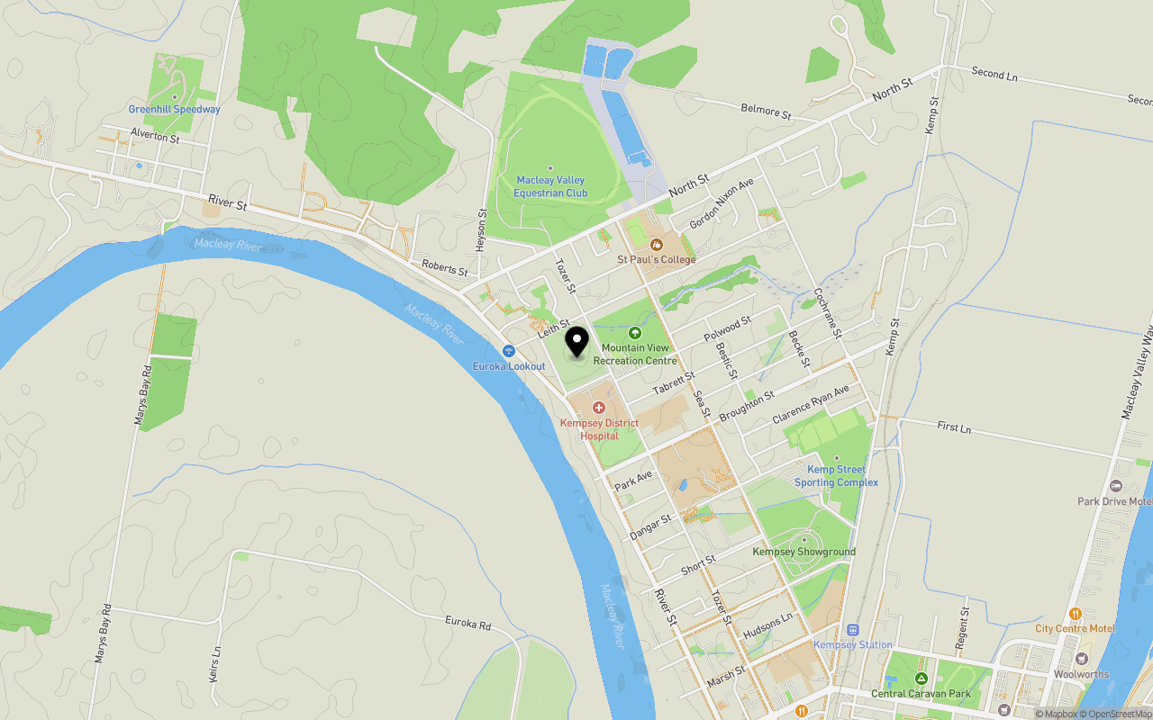
Schools near 21-27 Harold Coutman Street, West Kempsey NSW 2440
Overview
This information is estimated by the OpenLot research team. Let us know here to provide up-to-date information about this development.
| Total new homes | |
| Area Size | 5.22 hectares |
| City Council | Kempsey Shire Council |
| Developer | N/A |
Updates for 21-27 Harold Coutman Street, West Kempsey
Land Price Trend in West Kempsey NSW 2440
Below shows the price trend from vacant land sales recorded in West Kempsey NSW 2440.
The data and information provided by Terralytics (Aust) Pty Ltd (Terralytics Data) is general in nature and is not intended to constitute professional advice. Read more
It should not be relied upon as a substitute for legal, financial, valuation, or other specialist advice relevant to your specific circumstances.
Terralytics uses commercially reasonable endeavours to ensure the Terralytics Data is current and accurate. However, as the Terralytics Data incorporates information sourced from third parties, Terralytics makes no representation or warranty — express or implied — as to its accuracy, completeness, or currency. To the maximum extent permitted by applicable law, Terralytics excludes all liability for any loss or damage (including consequential loss) arising out of or in connection with reliance on the Terralytics Data, whether arising in contract, tort (including negligence), statute, or otherwise.
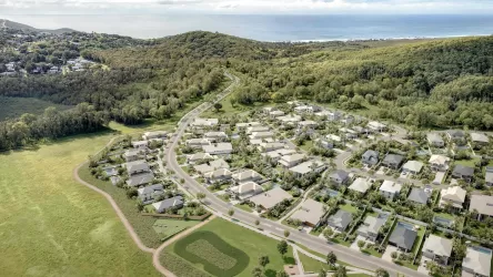
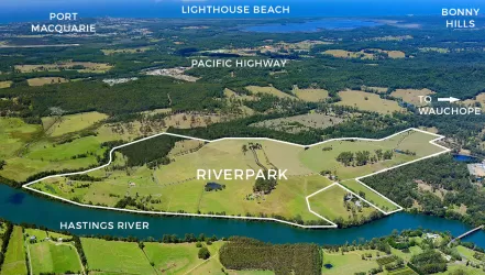
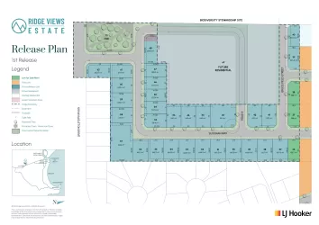
Popular Estates near 21-27 Harold Coutman Street, West Kempsey
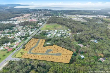


Not exactly what you're looking for? Try surrounding suburbs
South West Rocks NSW 2431
5 estates | Kempsey Shire Council
26.0km north-east
Crescent Head NSW 2440
1 estate | Kempsey Shire Council
15.6km south-east
Verges Creek NSW 2440
1 estate | Kempsey Shire Council
6.3km east
Sancrox NSW 2446
1 estate | Port Macquarie-Hastings Council
42.9km south
Burnt Bridge NSW 2440
1 estate | Kempsey Shire Council
6.0km south-west
Eungai Creek NSW 2441
1 estate | Nambucca Valley Council
26.6km north
Latest published articles


FAQs about 21-27 Harold Coutman Street, West Kempsey NSW 2440
21-27 Harold Coutman Street, West Kempsey NSW 2440 consists of 18 homes.
The total area for 21-27 Harold Coutman Street, West Kempsey NSW 2440 is 5.22 hectares.
21-27 Harold Coutman Street, West Kempsey NSW 2440 falls under Kempsey Shire Council.
Nearby schools for 21-27 Harold Coutman Street, West Kempsey NSW 2440:
- St Paul's College - 633m north-east
- Kempsey High School - 700m south-east
- Kempsey West Public School - 1.6km south-east
- St Joseph's Primary School - 1.6km south-east
- Green Hill Public School - 1.8km north-west
- Melville High School - 2.8km south