
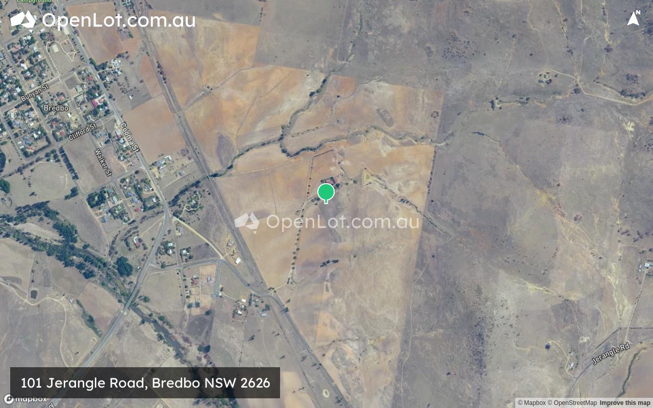
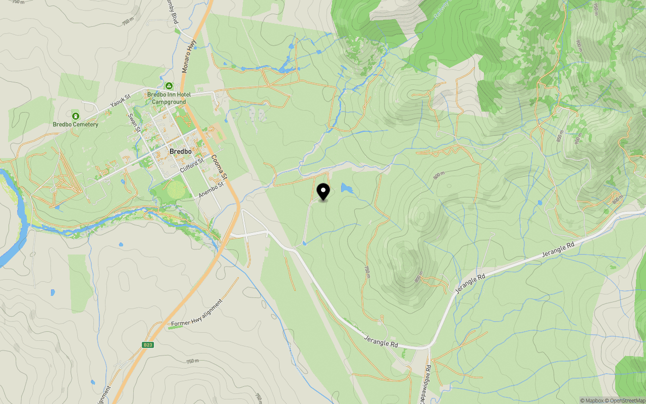
Location & Map for 101 Jerangle Road, Bredbo NSW 2626
Schools near 101 Jerangle Road, Bredbo NSW 2626
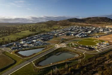
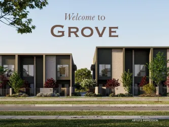
Overview
This information is estimated by the OpenLot research team. Let us know here to provide up-to-date information about this development.
| Total new homes | |
| Area Size | 104.30 hectares |
| City Council | Snowy Monaro Regional Council |
| Developer | N/A |
| Distance to |
Updates for 101 Jerangle Road, Bredbo
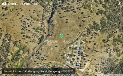
Popular Estates near 101 Jerangle Road, Bredbo


Not exactly what you're looking for? Try surrounding suburbs
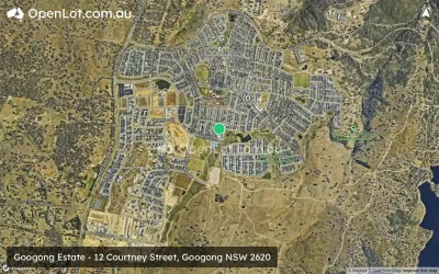
Googong NSW 2620
9 estates | Queanbeyan-Palerang Regional Council
57.7km north
Burra NSW 2620
1 estate | Snowy Monaro Regional Council
43.7km north
Tralee NSW 2620
2 estates | Queanbeyan-Palerang Regional Council
59.2km north
Royalla NSW 2620
1 estate | Queanbeyan-Palerang Regional Council
51.9km north
Berridale NSW 2628
5 estates | Snowy Monaro Regional Council
56.7km south-west
Cooma NSW 2630
3 estates | Snowy Monaro Regional Council
32.7km south
Latest published articles


FAQs about 101 Jerangle Road, Bredbo NSW 2626
101 Jerangle Road, Bredbo NSW 2626 consists of 10 homes.
The total area for 101 Jerangle Road, Bredbo NSW 2626 is 104.30 hectares.
101 Jerangle Road, Bredbo NSW 2626 falls under Snowy Monaro Regional Council.
101 Jerangle Road, Bredbo NSW 2626 is 72 km south of Canberra CBD.
Nearby schools for 101 Jerangle Road, Bredbo NSW 2626:
- Bredbo Public School - 1000m north-west
- Michelago Public School - 28.1km north
- Monaro High School - 28.8km south
- Cooma North Public School - 28.9km south
- Snowy Mountains Christian School - 29.2km south