
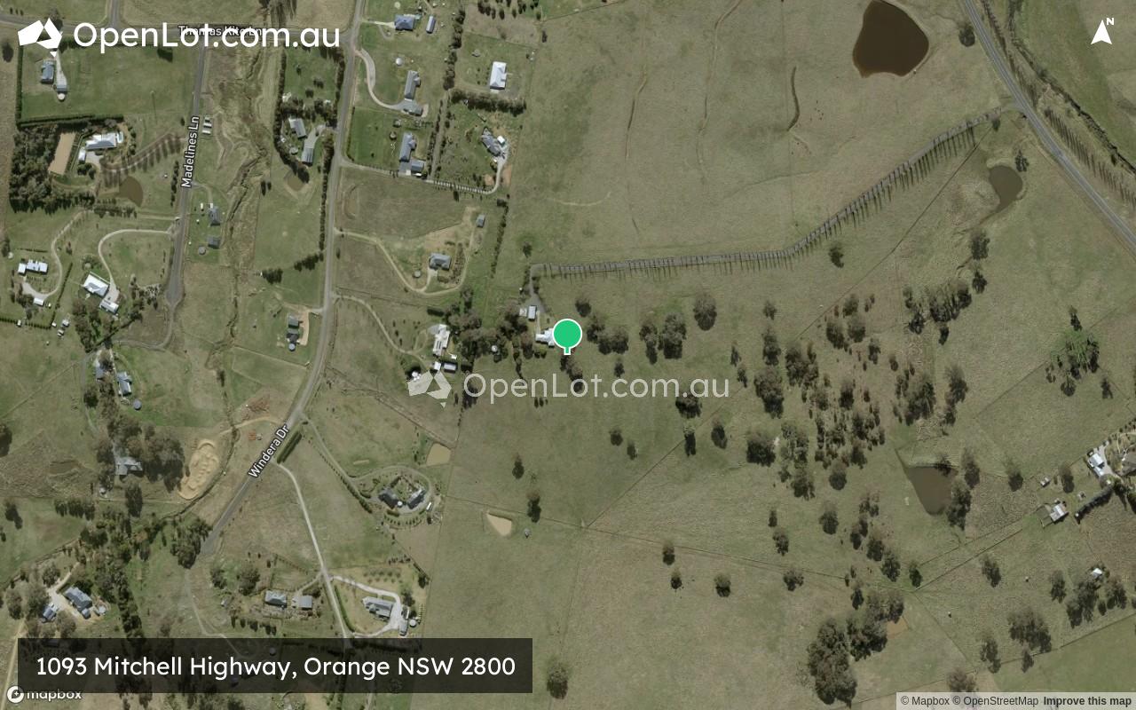
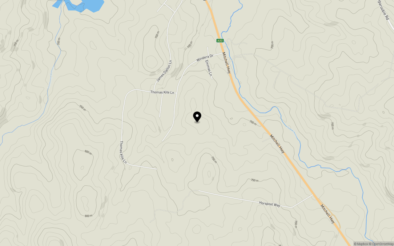
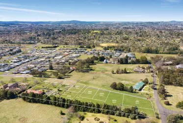
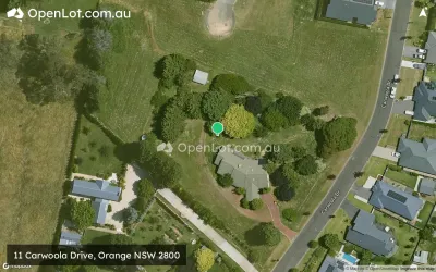
Location & Map for 1093 Mitchell Highway, Orange NSW 2800
Schools near 1093 Mitchell Highway, Orange NSW 2800
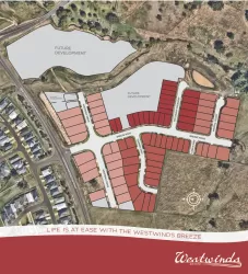
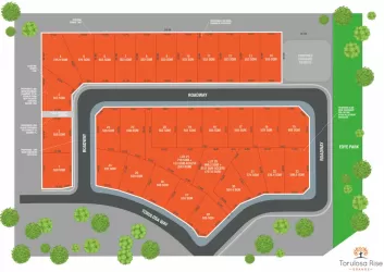
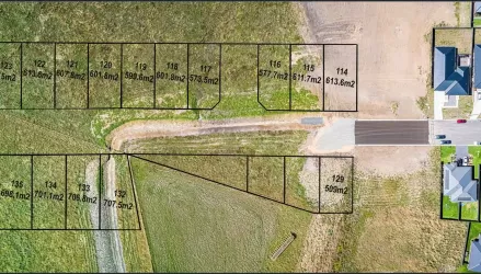
Overview
This information is estimated by the OpenLot research team. Let us know here to provide up-to-date information about this development.
| Total new homes | |
| Area Size | 35.30 hectares |
| City Council | Cabonne Council |
| Developer | N/A |
Land Price Trend in Orange NSW 2800
Below shows the price trend from vacant land sales recorded in Orange NSW 2800.
The data and information provided by Terralytics (Aust) Pty Ltd (Terralytics Data) is general in nature and is not intended to constitute professional advice. Read more
It should not be relied upon as a substitute for legal, financial, valuation, or other specialist advice relevant to your specific circumstances.
Terralytics uses commercially reasonable endeavours to ensure the Terralytics Data is current and accurate. However, as the Terralytics Data incorporates information sourced from third parties, Terralytics makes no representation or warranty — express or implied — as to its accuracy, completeness, or currency. To the maximum extent permitted by applicable law, Terralytics excludes all liability for any loss or damage (including consequential loss) arising out of or in connection with reliance on the Terralytics Data, whether arising in contract, tort (including negligence), statute, or otherwise.
Popular Estates near 1093 Mitchell Highway, Orange


Not exactly what you're looking for? Try surrounding suburbs
Millthorpe NSW 2798
2 estates | Blayney Shire Council
29.3km south-east
Blayney NSW 2799
1 estate | Blayney Shire Council
39.9km south-east
Parkes NSW 2870
7 estates | Parkes Shire Council
71.9km west
Windradyne NSW 2795
1 estate | Bathurst Regional Council
54.0km east
Kelso NSW 2795
5 estates | Bathurst Regional Council
60.7km east
Abercrombie NSW 2795
1 estate | Bathurst Regional Council
54.4km east
Latest published articles


FAQs about 1093 Mitchell Highway, Orange NSW 2800
The total area for 1093 Mitchell Highway, Orange NSW 2800 is 35.30 hectares.
1093 Mitchell Highway, Orange NSW 2800 falls under Cabonne Council.
Nearby schools for 1093 Mitchell Highway, Orange NSW 2800:
- Borenore Public School - 5.8km south-west
- Orange Anglican Grammar School - 6.8km south-east
- Clergate Public School - 8.4km east
- Nashdale Public School - 9.1km south
- Orange High School - 9.4km south-east
- Bletchington Public School - 9.6km south-east