
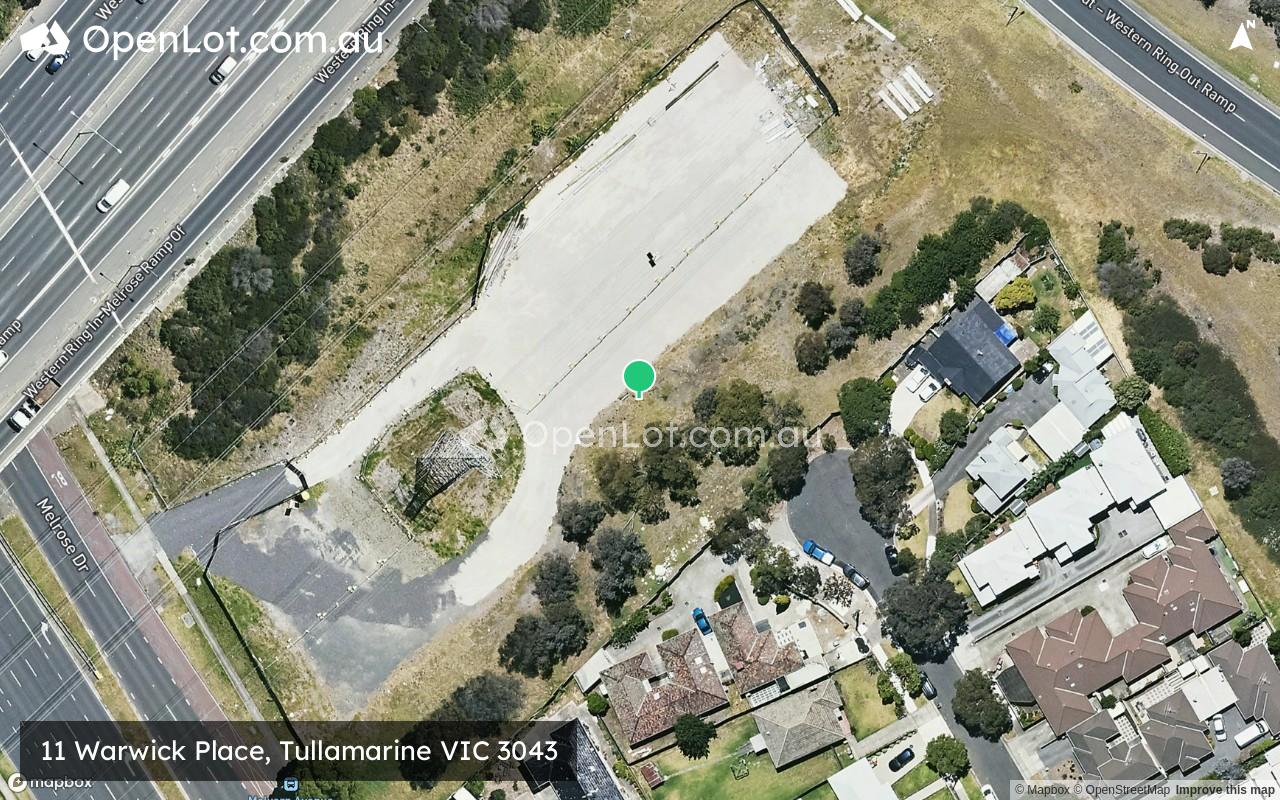
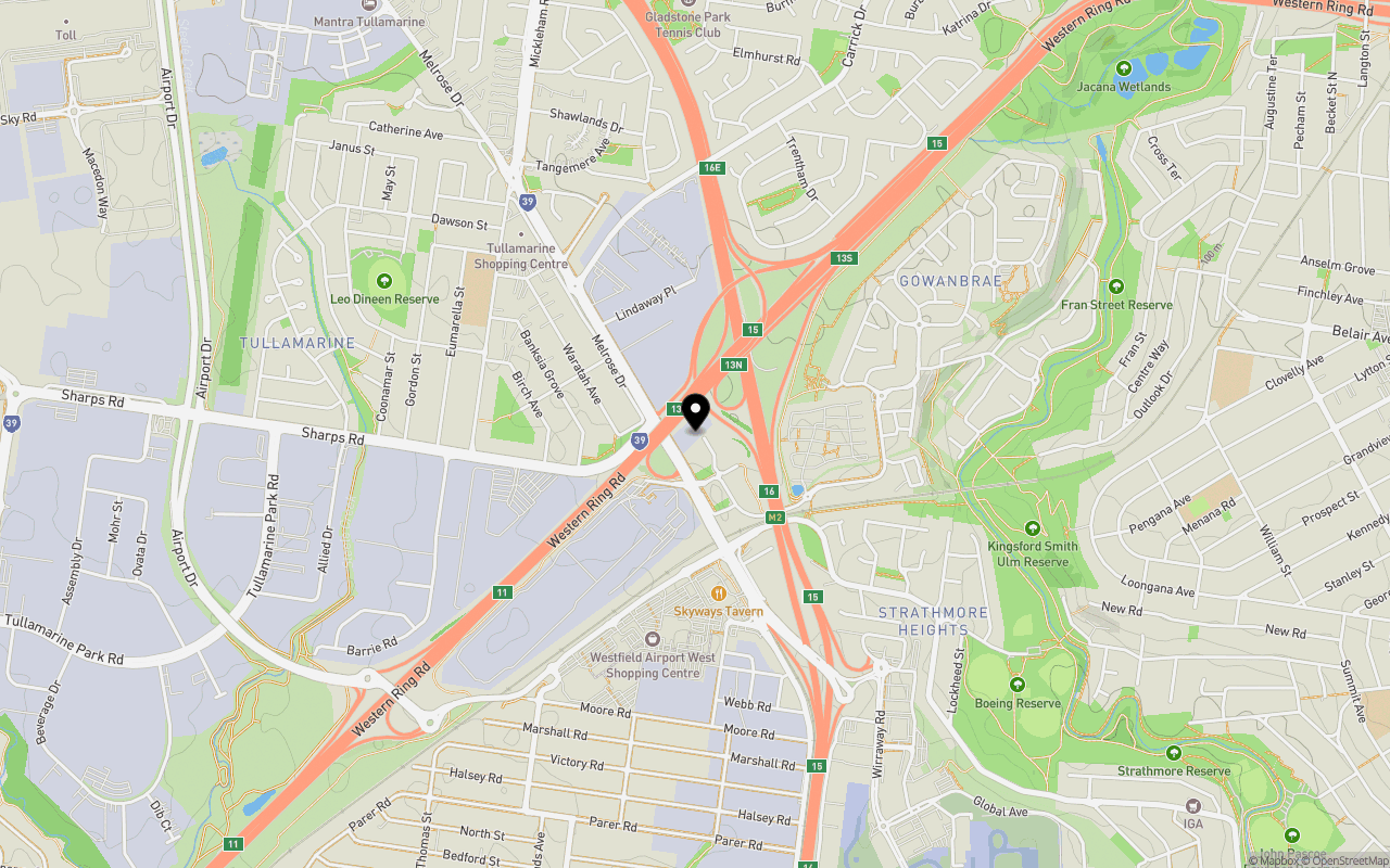
Location & Map for 11 Warwick Place, Tullamarine VIC 3043
Schools near 11 Warwick Place, Tullamarine VIC 3043
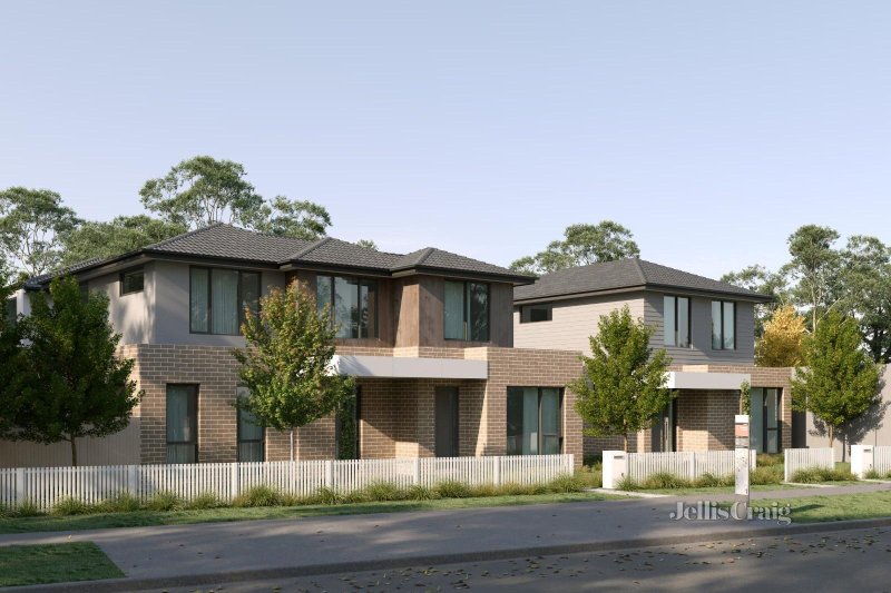
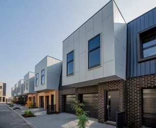
Overview
This information is estimated by the OpenLot research team. Let us know here to provide up-to-date information about this development.
| Total new homes | |
| Area Size | 0.53 hectares |
| Growth Region | Melbourne North Growth Corridor |
| City Council | Merri-bek City Council |
| Developer | N/A |
| Distance to |
Updates for 11 Warwick Place, Tullamarine

Popular Estates near 11 Warwick Place, Tullamarine


Not exactly what you're looking for? Try surrounding suburbs
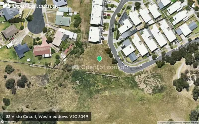
Westmeadows VIC 3049
3 estates | Hume City Council
3.4km north-east
Strathmore VIC 3041
2 estates | Moonee Valley City Council
4.0km south-east
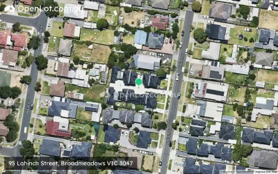
Broadmeadows VIC 3047
3 estates | Hume City Council
4.1km north-east
Oak Park VIC 3046
1 estate | Merri-bek City Council
3.2km south-east
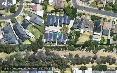
Airport West VIC 3042
1 estate | Moonee Valley City Council
3.3km south-west
Glenroy VIC 3046
2 estates | Merri-bek City Council
3.5km east
Latest published articles


FAQs about 11 Warwick Place, Tullamarine VIC 3043
11 Warwick Place, Tullamarine VIC 3043 consists of 20 homes.
The total area for 11 Warwick Place, Tullamarine VIC 3043 is 0.53 hectares.
11 Warwick Place, Tullamarine VIC 3043 falls under Merri-bek City Council.
11 Warwick Place, Tullamarine VIC 3043 is 14 km north-west of Melbourne CBD.
Nearby schools for 11 Warwick Place, Tullamarine VIC 3043:
- Tullamarine Primary School - 913m north-west
- School of the Good Shepherd - 1.6km north
- Glenroy West Primary School - 1.9km east
- St Christopher's School - 2.0km south
- Gladstone Park Secondary College - 2.1km north
- Gladstone Views Primary School - 2.2km north-east