
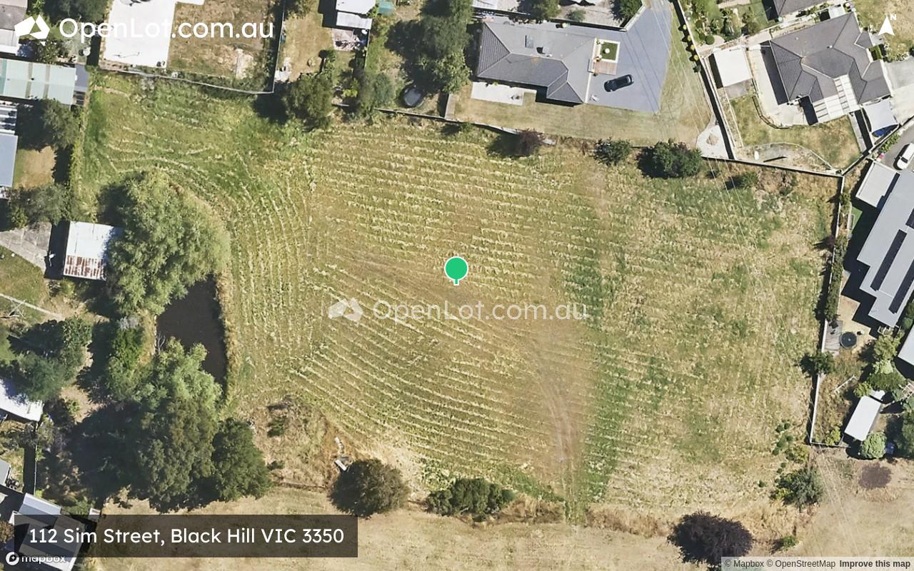
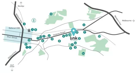
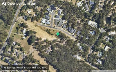
Location & Map for 112 Sim Street, Black Hill VIC 3350

Schools near 112 Sim Street, Black Hill VIC 3350
Overview
This information is estimated by the OpenLot research team. Let us know here to provide up-to-date information about this development.
| Total new homes | |
| Area Size | 0.94 hectares |
| Growth Region | City of Ballarat Growth Areas |
| City Council | Ballarat City Council |
| Developer | N/A |
| Distance to |
Updates for 112 Sim Street, Black Hill
Popular Estates near 112 Sim Street, Black Hill


Not exactly what you're looking for? Try surrounding suburbs
Ballarat East VIC 3350
4 estates | Ballarat City Council
2.1km south-east
Invermay Park VIC 3350
1 estate | Ballarat City Council
2.7km north-west
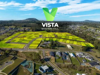
Brown Hill VIC 3350
12 estates | Ballarat City Council
2.6km east
Nerrina VIC 3350
1 estate | Ballarat City Council
2.1km north-east
Ballarat North VIC 3350
2 estates | Ballarat City Council
2.0km north-west
Bakery Hill VIC 3350
1 estate | Ballarat City Council
1.7km south-west
Latest published articles


FAQs about 112 Sim Street, Black Hill VIC 3350
112 Sim Street, Black Hill VIC 3350 consists of 37 homes.
The total area for 112 Sim Street, Black Hill VIC 3350 is 0.94 hectares.
112 Sim Street, Black Hill VIC 3350 falls under Ballarat City Council.
112 Sim Street, Black Hill VIC 3350 is 3 km east of Ballarat CBD.
Nearby schools for 112 Sim Street, Black Hill VIC 3350:
- Black Hill Primary School - 650m west
- St Alipius' Parish School - 1.5km south
- St Columba's School - 1.5km west
- Ballarat North Primary School - 1.6km north-west
- Caledonian Primary School - 1.7km south-east
- Little Bendigo Primary School - 1.7km east