
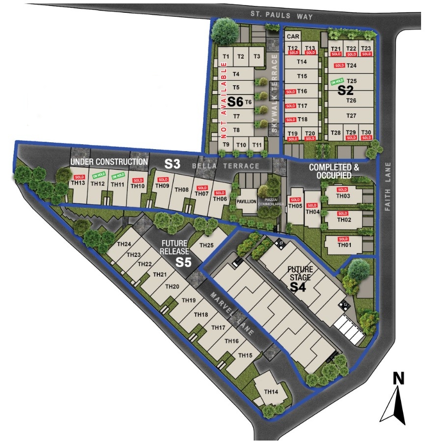
Property types for sale
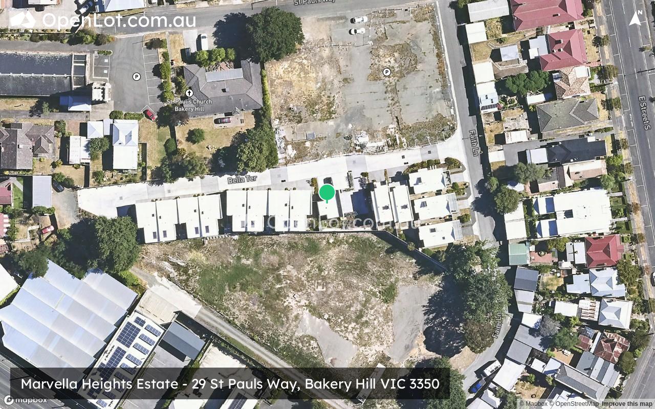
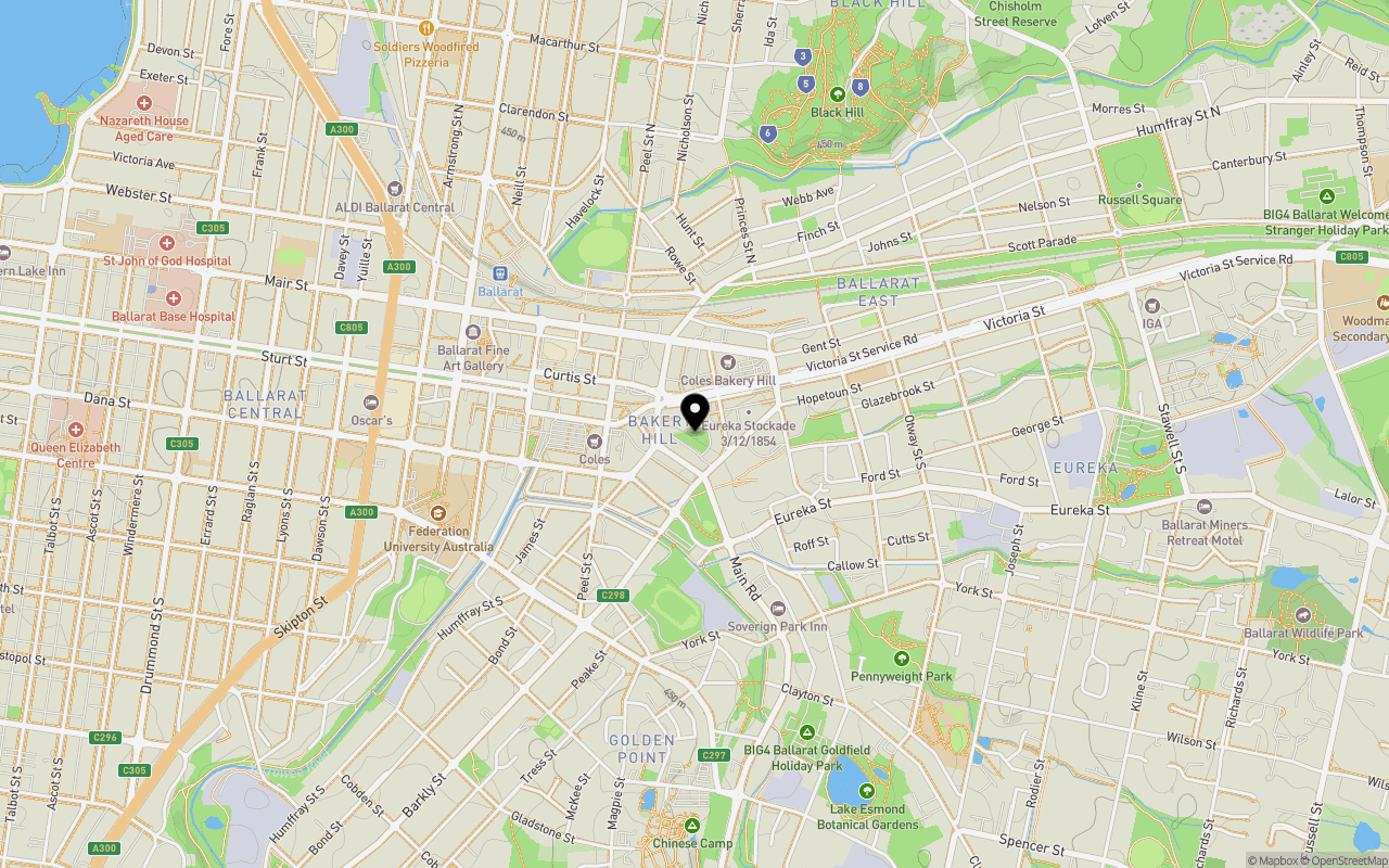
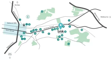
Location & Map for Marvella Heights Estate - Bakery Hill
Schools near Marvella Heights Estate - Bakery Hill
Marvella Heights Bakery Hill Video
Overview
This information is estimated by the OpenLot research team. Let us know here to provide up-to-date information about this development.
| Total new homes | |
| Area Size | 0.87 hectares |
| Growth Region | City of Ballarat Growth Areas |
| City Council | Ballarat City Council |
| Developer | N/A |
| Project Marketer | Jens Veal Byrne |
| Distance to |
Updates for Marvella Heights Estate - Bakery Hill

Popular Estates near Marvella Heights Estate - Bakery Hill

Not exactly what you're looking for? Try surrounding suburbs
Ballarat East VIC 3350
4 estates | Ballarat City Council
2.0km east
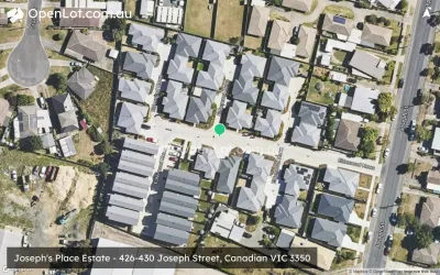
Canadian VIC 3350
7 estates | Ballarat City Council
2.8km south-east
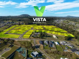
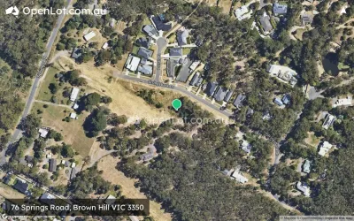
Brown Hill VIC 3350
12 estates | Ballarat City Council
3.6km east
Ballarat North VIC 3350
2 estates | Ballarat City Council
3.0km north
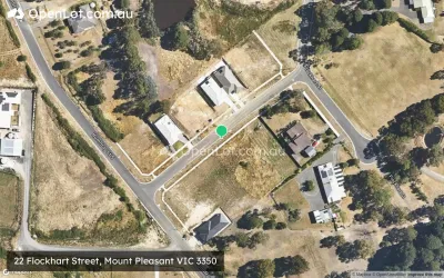
Mount Pleasant VIC 3350
2 estates | Ballarat City Council
2.6km south-west
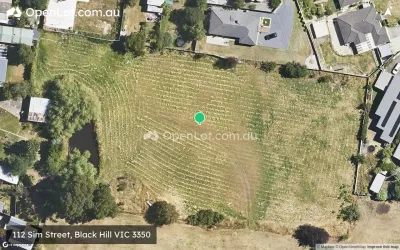
Black Hill VIC 3350
1 estate | Ballarat City Council
1.7km north-east
Latest published articles


FAQs about Marvella Heights Estate - Bakery Hill
Marvella Heights Estate - Bakery Hill consists of 73 homes.
The total area for Marvella Heights Estate - Bakery Hill is 0.87 hectares.
Marvella Heights Estate - Bakery Hill falls under Ballarat City Council.
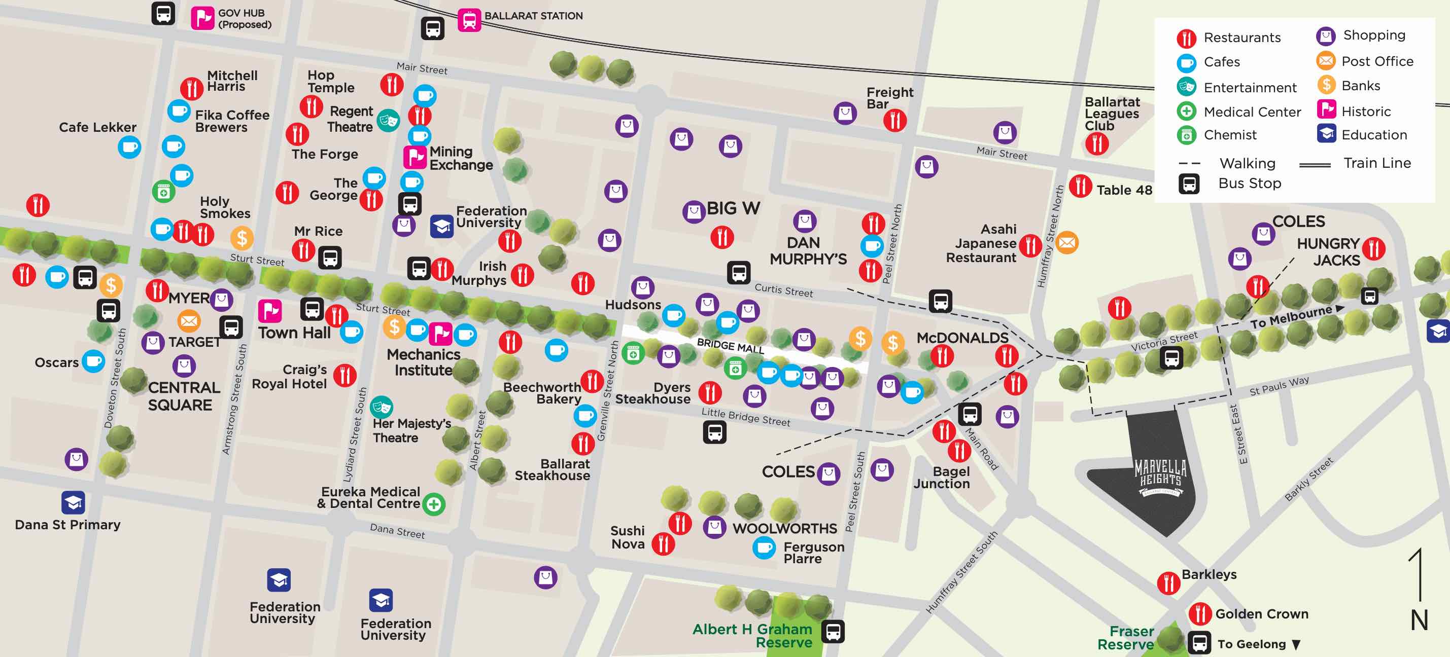
Marvella Heights Estate - Bakery Hill is 2 km east of Ballarat CBD.
Jens Veal Byrne is the project marketer for Marvella Heights Estate - Bakery Hill.
Nearby schools for Marvella Heights Estate - Bakery Hill:
- St Alipius' Parish School - 642m east
- Ballarat Primary School (Dana Street) - 1.2km west
- Canadian Lead Primary School - 1.3km south-east
- Sovereign Hill School - 1.3km south
- Black Hill Primary School - 1.6km north
- Macarthur Street Primary School - 1.6km north-west