
Property types for sale
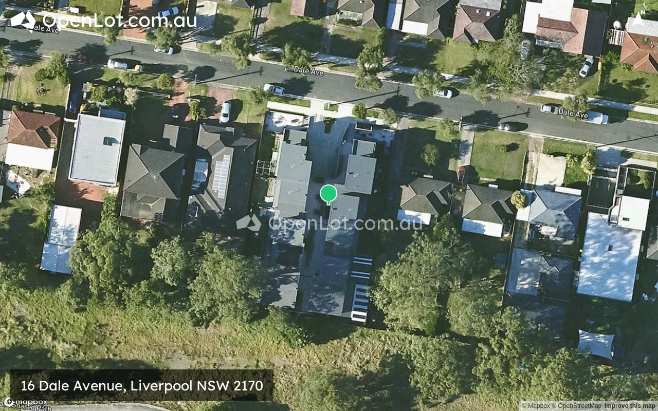
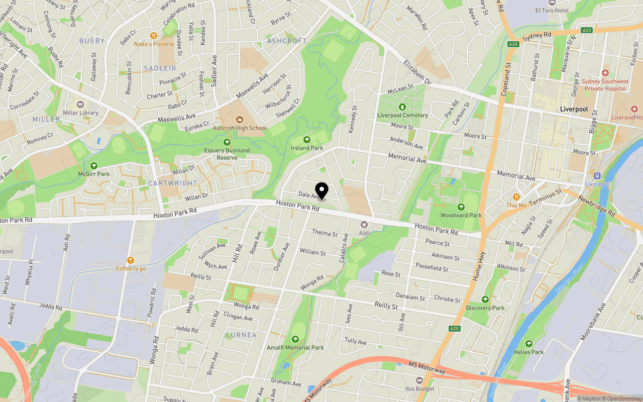
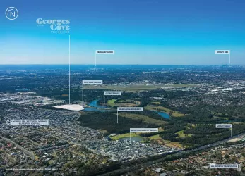
Location & Map for 16 Dale Avenue, Liverpool NSW 2170
Schools near 16 Dale Avenue, Liverpool NSW 2170
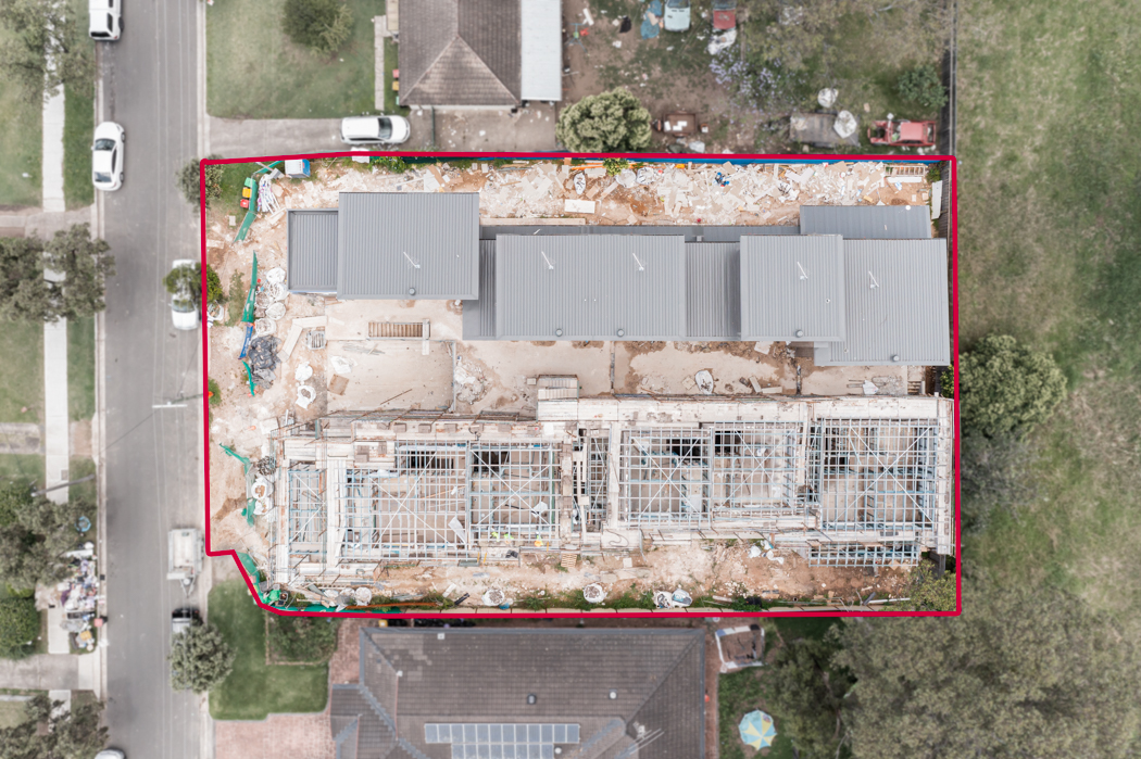
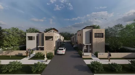
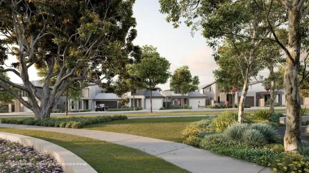
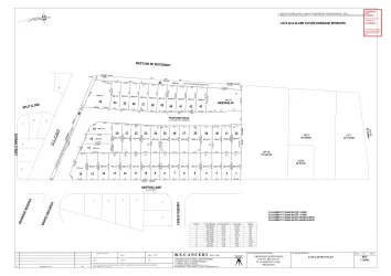
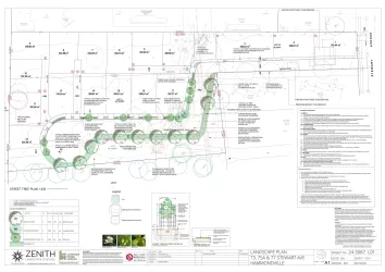
Overview
This information is estimated by the OpenLot research team. Let us know here to provide up-to-date information about this development.
| Total new homes | |
| Area Size | N/A |
| Growth Region | Sydney South West Growth Areas |
| City Council | Liverpool City Council |
| Developer | N/A |
| Project Marketer | Wiseberry Prestons |
| Distance to |
Updates for 16 Dale Avenue, Liverpool
Popular Estates near 16 Dale Avenue, Liverpool
Not exactly what you're looking for? Try surrounding suburbs
Moorebank NSW 2170
1 estate | Liverpool City Council
2.6km south
Prestons NSW 2170
2 estates | Liverpool City Council
5.1km south-west
Bonnyrigg NSW 2177
2 estates | Fairfield City Council
4.4km north-west
Casula NSW 2170
2 estates | Liverpool City Council
3.8km south-west
Green Valley NSW 2168
1 estate | Liverpool City Council
5.0km north-west
Hammondville NSW 2170
1 estate | Liverpool City Council
4.8km south-east
Latest published articles


FAQs about 16 Dale Avenue, Liverpool NSW 2170
16 Dale Avenue, Liverpool NSW 2170 consists of 10 homes.
16 Dale Avenue, Liverpool NSW 2170 falls under Liverpool City Council.
16 Dale Avenue, Liverpool NSW 2170 is 27 km west of Sydney CBD.
Wiseberry Prestons is the project marketer for 16 Dale Avenue, Liverpool NSW 2170.
Nearby schools for 16 Dale Avenue, Liverpool NSW 2170:
- Mainsbridge School - 323m east
- Liverpool West Public School - 343m east
- St Francis Xavier's Catholic Primary School - 811m south-west
- Ashcroft High School - 911m north-west
- Cartwright Public School - 1.2km west
- Ashcroft Public School - 1.2km north-west