
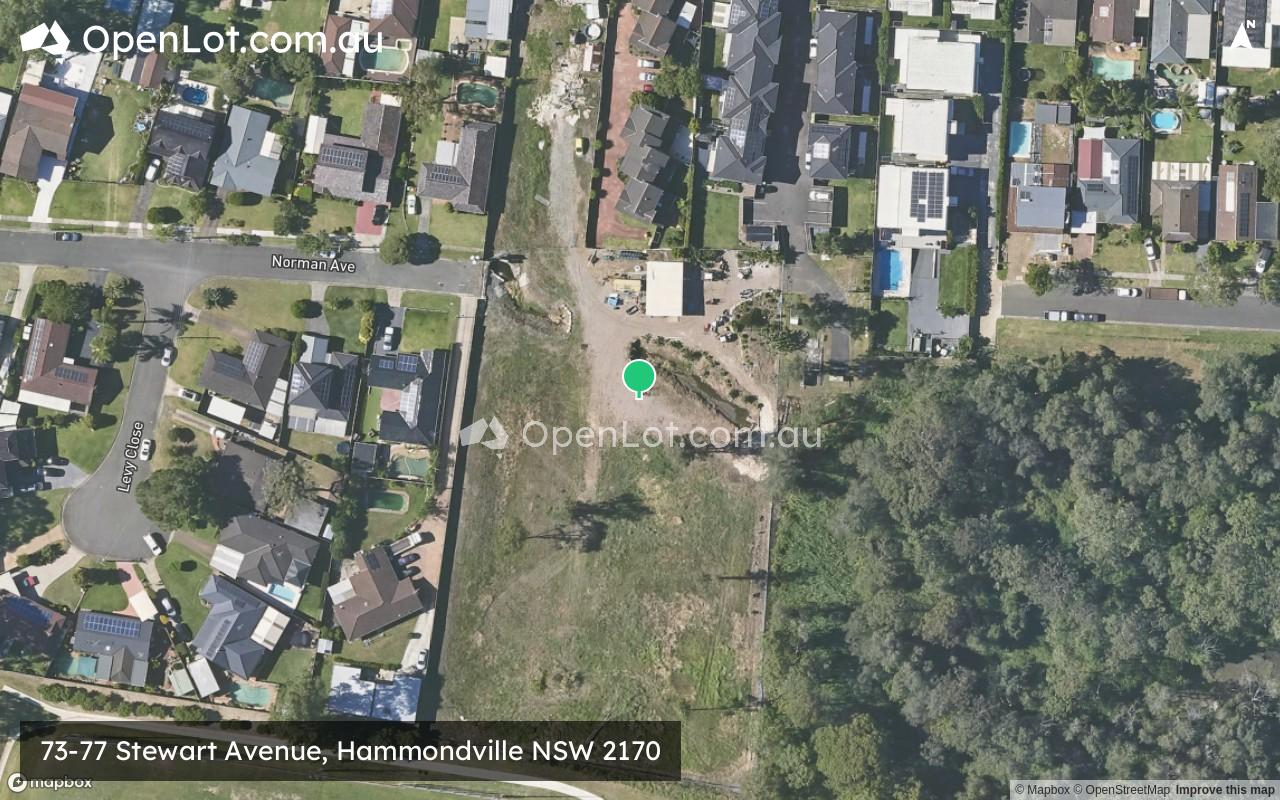
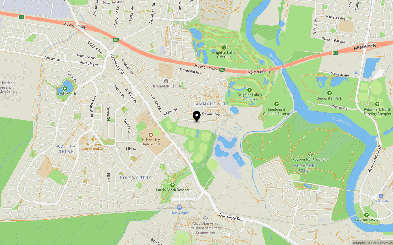
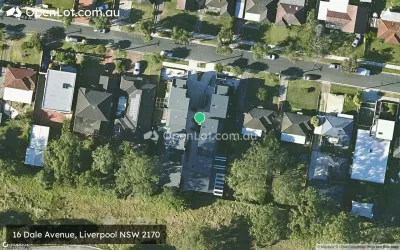
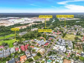
Location & Map for 73-77 Stewart Avenue, Hammondville NSW 2170
Schools near 73-77 Stewart Avenue, Hammondville NSW 2170
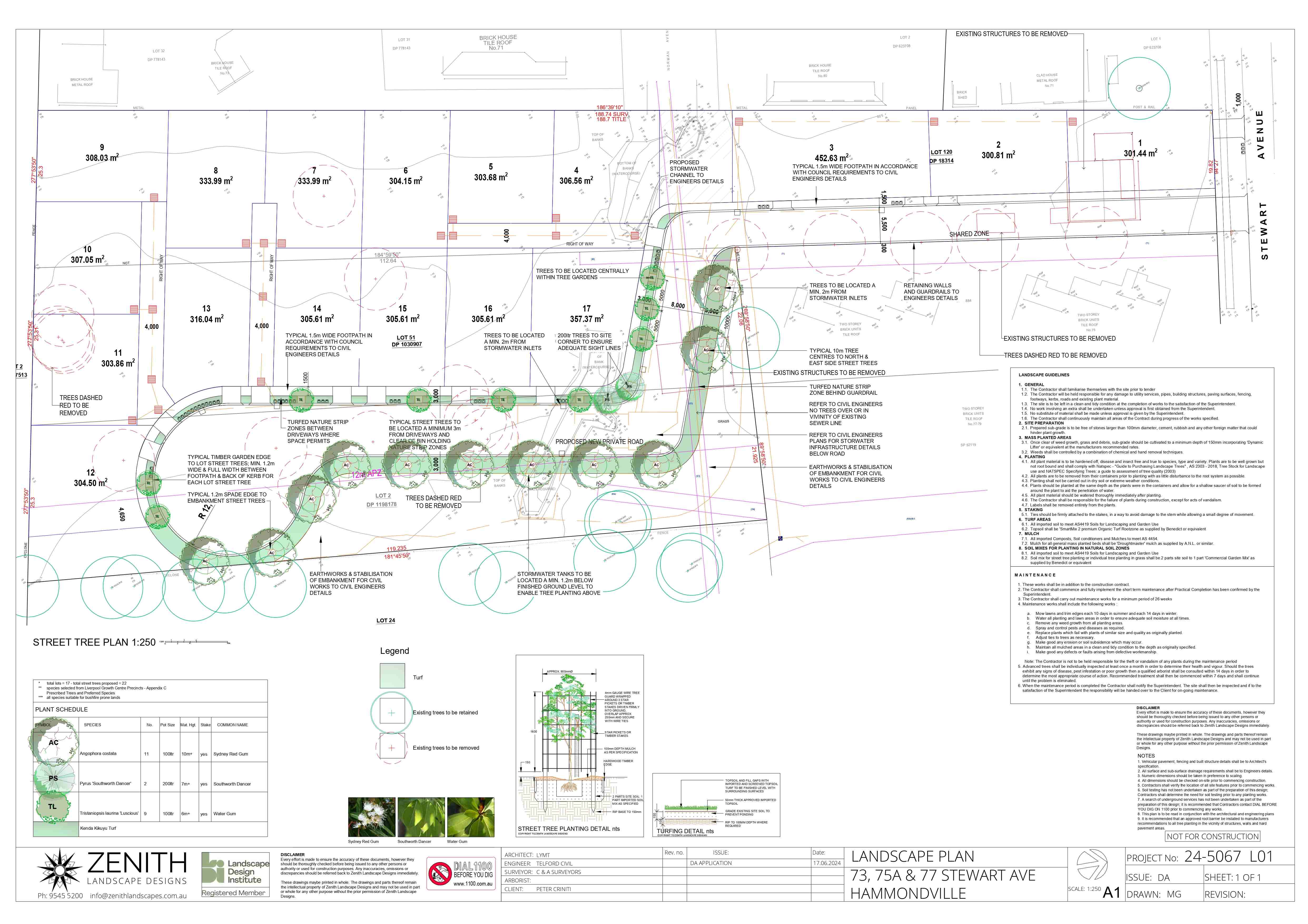
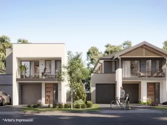
Overview
This information is estimated by the OpenLot research team. Let us know here to provide up-to-date information about this development.
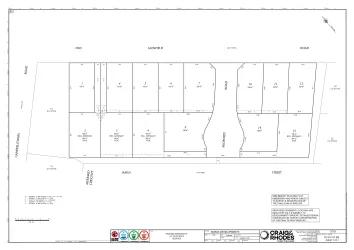
| Total new homes | |
| Area Size | 0.98 hectares |
| Growth Region | Sydney South West Growth Areas |
| City Council | Liverpool City Council |
| Developer | N/A |
| Distance to |
Updates for 73-77 Stewart Avenue, Hammondville
Popular Estates near 73-77 Stewart Avenue, Hammondville

Not exactly what you're looking for? Try surrounding suburbs
Glenfield NSW 2167
3 estates | Campbelltown City Council - NSW
6.7km west
Moorebank NSW 2170
1 estate | Liverpool City Council
2.7km west
Milperra NSW 2214
1 estate | City of Canterbury Bankstown
2.3km north-east
Casula NSW 2170
2 estates | Liverpool City Council
5.3km west
Liverpool NSW 2170
1 estate | Liverpool City Council
4.8km north-west
Bass Hill NSW 2197
1 estate | City of Canterbury Bankstown
7.0km north-east
Latest published articles


FAQs about 73-77 Stewart Avenue, Hammondville NSW 2170
73-77 Stewart Avenue, Hammondville NSW 2170 consists of 17 homes.
The total area for 73-77 Stewart Avenue, Hammondville NSW 2170 is 0.98 hectares.
73-77 Stewart Avenue, Hammondville NSW 2170 falls under Liverpool City Council.
73-77 Stewart Avenue, Hammondville NSW 2170 is 23 km south-west of Sydney CBD.
Nearby schools for 73-77 Stewart Avenue, Hammondville NSW 2170:
- Holsworthy Public School - 640m south-west
- Holsworthy High School - 649m west
- St Christopher's Catholic Primary School - 698m west
- Hammondville Public School - 779m north-west
- St Mark's Coptic Orthodox College - 1.4km west
- Wattle Grove Public School - 2.1km west