
Property types for sale
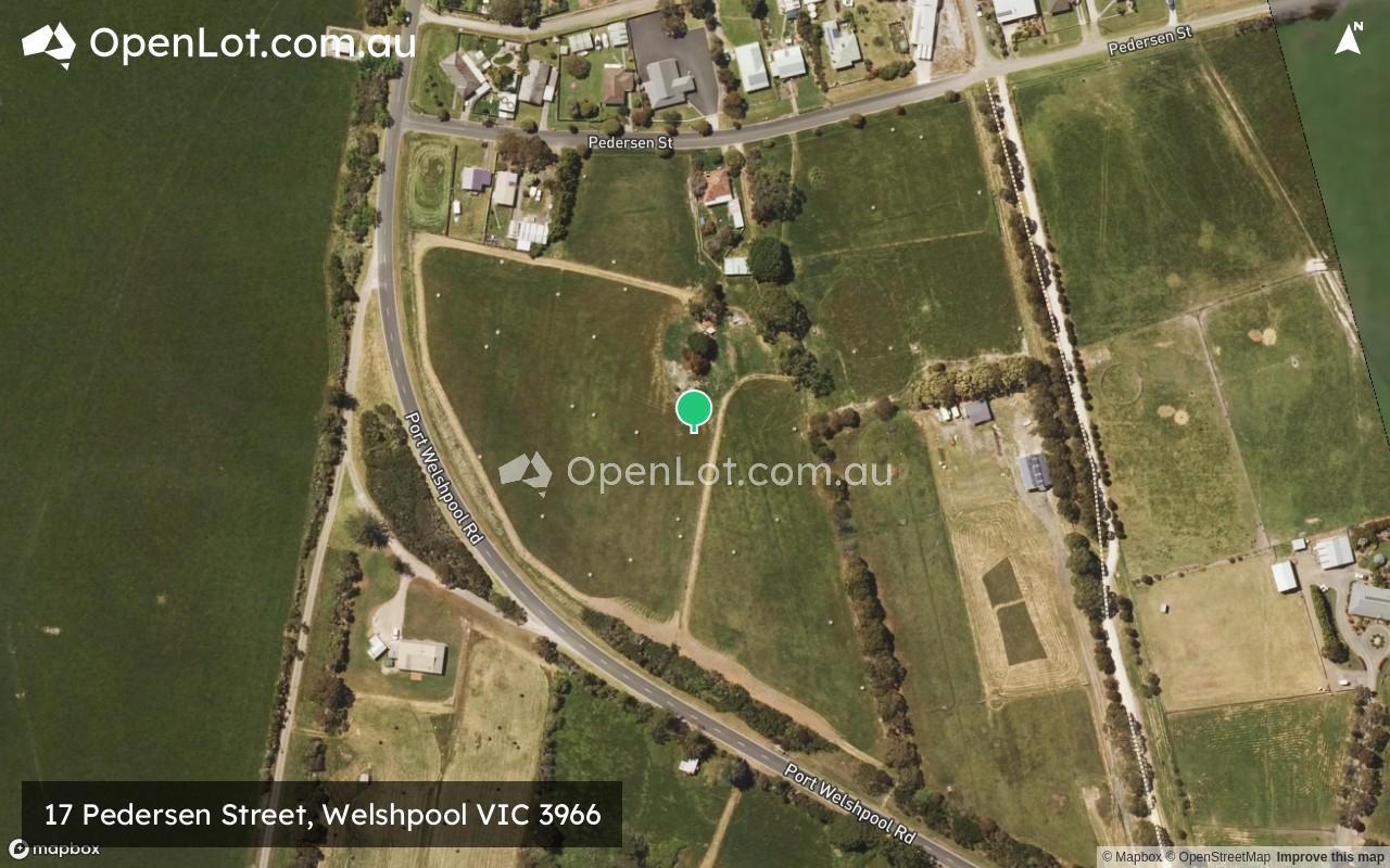
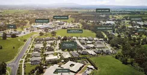
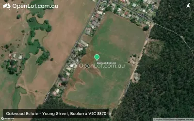
Location & Map for 17 Pedersen Street, Welshpool VIC 3966
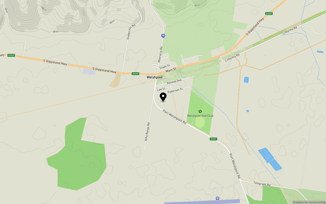
Schools near 17 Pedersen Street, Welshpool VIC 3966
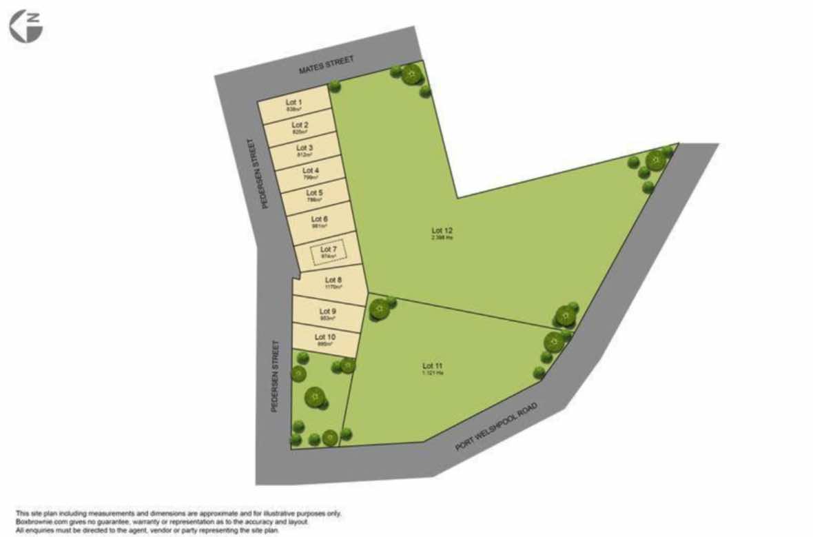
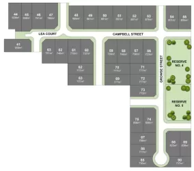
Overview
This information is estimated by the OpenLot research team. Let us know here to provide up-to-date information about this development.
| Total new homes | |
| Area Size | 4.44 hectares |
| Growth Region | Gippsland Regional Growth Areas |
| City Council | South Gippsland Shire Council |
| Developer | N/A |
| Project Marketer | Paragreen Real Estate |
Land Price Trend in Welshpool VIC 3966
Below shows the price trend from vacant land sales recorded in Welshpool VIC 3966. *
Popular Estates near 17 Pedersen Street, Welshpool

Not exactly what you're looking for? Try surrounding suburbs
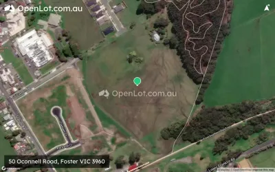
Foster VIC 3960
3 estates | South Gippsland Shire Council
17.6km west
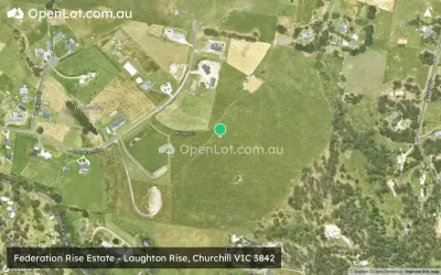
Churchill VIC 3842
7 estates | Latrobe City Council
39.2km north
Yinnar VIC 3869
2 estates | Latrobe City Council
39.0km north
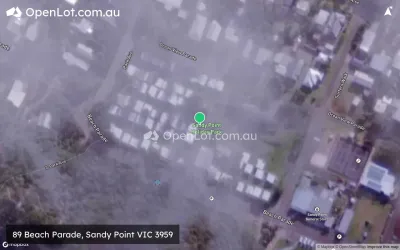
Sandy Point VIC 3959
1 estate | South Gippsland Shire Council
31.6km south-west
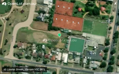
Yarram VIC 3971
2 estates | Wellington Shire Council
24.6km north-east
Boolarra VIC 3870
2 estates | Latrobe City Council
34.2km north
Latest published articles


FAQs about 17 Pedersen Street, Welshpool VIC 3966
17 Pedersen Street, Welshpool VIC 3966 consists of 12 homes.
The total area for 17 Pedersen Street, Welshpool VIC 3966 is 4.44 hectares.
17 Pedersen Street, Welshpool VIC 3966 falls under South Gippsland Shire Council.
Paragreen Real Estate is the project marketer for 17 Pedersen Street, Welshpool VIC 3966.
Nearby schools for 17 Pedersen Street, Welshpool VIC 3966:
- Welshpool and District Primary School - 772m north-west
- Toora Primary School - 9.6km west
- Foster Primary School - 20.6km west
- Alberton Primary School - 20.6km east
- Foster Secondary College - 21.0km west
- Yarram Primary School - 23.9km north-east