
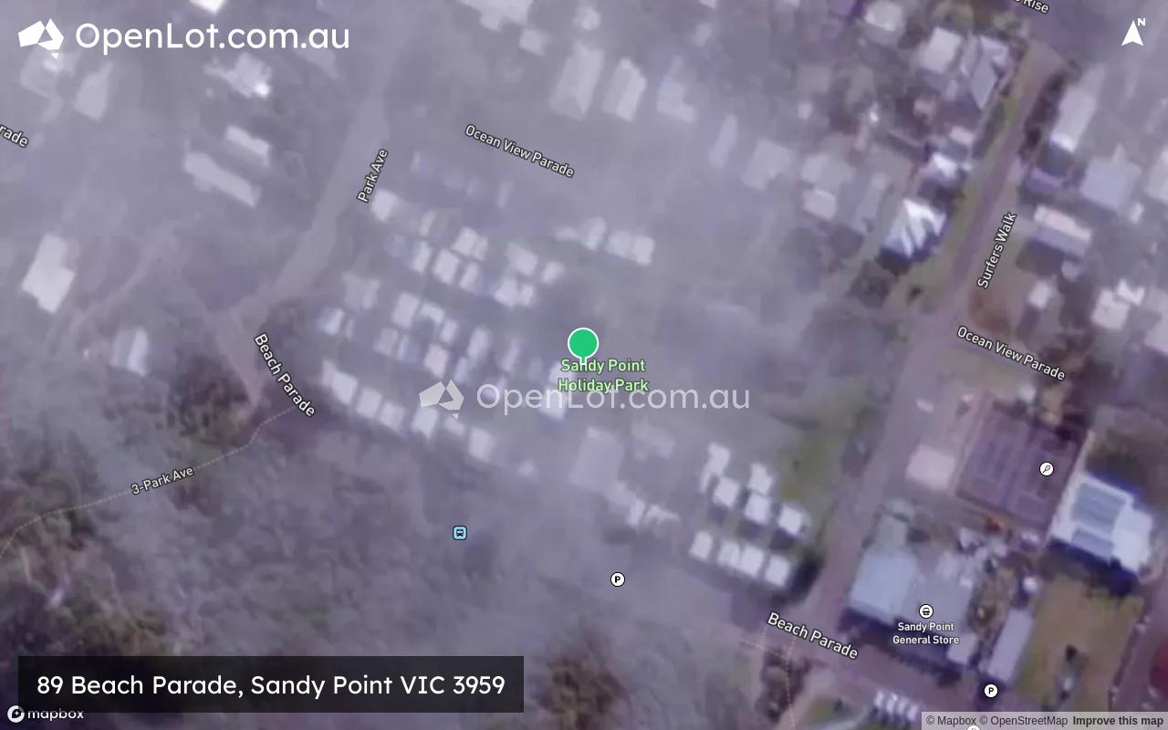
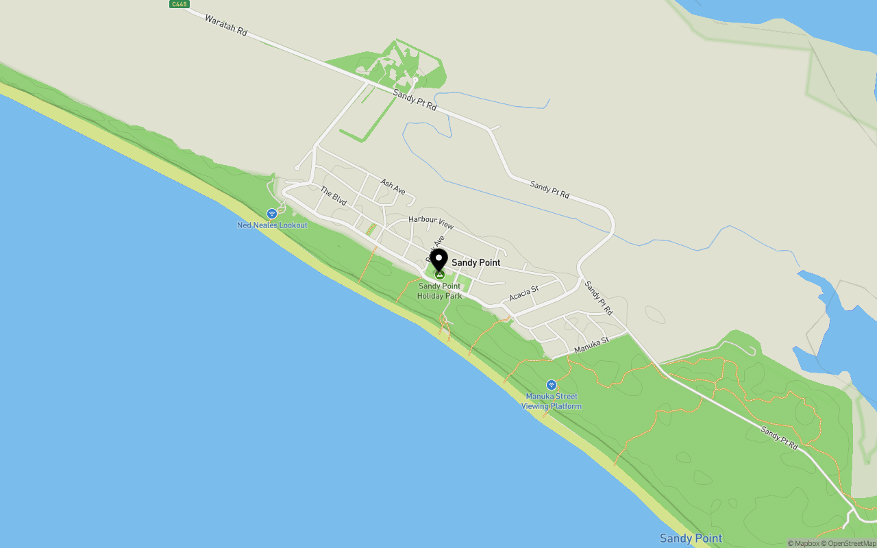
Location & Map for 89 Beach Parade, Sandy Point VIC 3959
Schools near 89 Beach Parade, Sandy Point VIC 3959
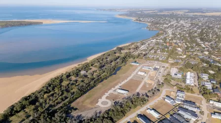
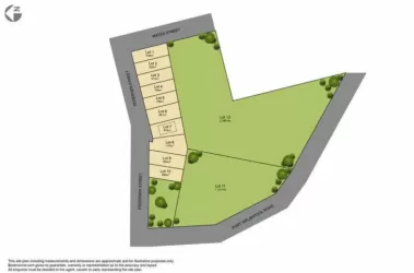
Overview
This information is estimated by the OpenLot research team. Let us know here to provide up-to-date information about this development.
| Total new homes | |
| Area Size | 1.26 hectares |
| Growth Region | Gippsland Regional Growth Areas |
| City Council | South Gippsland Shire Council |
| Developer | N/A |
| Project Marketer | SEJ Real Estate |
| Other Names | Sandy Point Holiday Park |
Land Price Trend in Sandy Point VIC 3959
Below shows the price trend from vacant land sales recorded in Sandy Point VIC 3959.
The data and information provided by Terralytics (Aust) Pty Ltd (Terralytics Data) is general in nature and is not intended to constitute professional advice. Read more
It should not be relied upon as a substitute for legal, financial, valuation, or other specialist advice relevant to your specific circumstances.
Terralytics uses commercially reasonable endeavours to ensure the Terralytics Data is current and accurate. However, as the Terralytics Data incorporates information sourced from third parties, Terralytics makes no representation or warranty — express or implied — as to its accuracy, completeness, or currency. To the maximum extent permitted by applicable law, Terralytics excludes all liability for any loss or damage (including consequential loss) arising out of or in connection with reliance on the Terralytics Data, whether arising in contract, tort (including negligence), statute, or otherwise.
Popular Estates near 89 Beach Parade, Sandy Point

Not exactly what you're looking for? Try surrounding suburbs
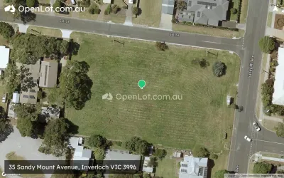
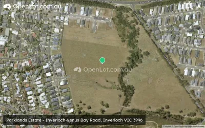
Inverloch VIC 3996
5 estates | Bass Coast Shire Council
37.9km north-west
Foster VIC 3960
3 estates | South Gippsland Shire Council
20.6km north-east
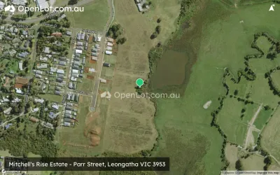
Leongatha VIC 3953
5 estates | South Gippsland Shire Council
40.2km north
Wattle Bank VIC 3995
1 estate | Bass Coast Shire Council
43.6km north-west
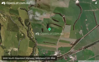
Welshpool VIC 3966
2 estates | South Gippsland Shire Council
31.6km north-east
Leongatha South VIC 3953
1 estate | South Gippsland Shire Council
39.9km north-west
Latest published articles


FAQs about 89 Beach Parade, Sandy Point VIC 3959
89 Beach Parade, Sandy Point VIC 3959 consists of 14 homes.
The total area for 89 Beach Parade, Sandy Point VIC 3959 is 1.26 hectares.
89 Beach Parade, Sandy Point VIC 3959 falls under South Gippsland Shire Council.
SEJ Real Estate is the project marketer for 89 Beach Parade, Sandy Point VIC 3959.
Nearby schools for 89 Beach Parade, Sandy Point VIC 3959:
- Fish Creek and District Primary School - 15.3km north
- Foster Primary School - 20.3km north
- Foster Secondary College - 20.8km north
- Toora Primary School - 25.5km north-east
- Tarwin Lower Primary School - 26.3km north-west
- Meeniyan Primary School - 29.3km north