
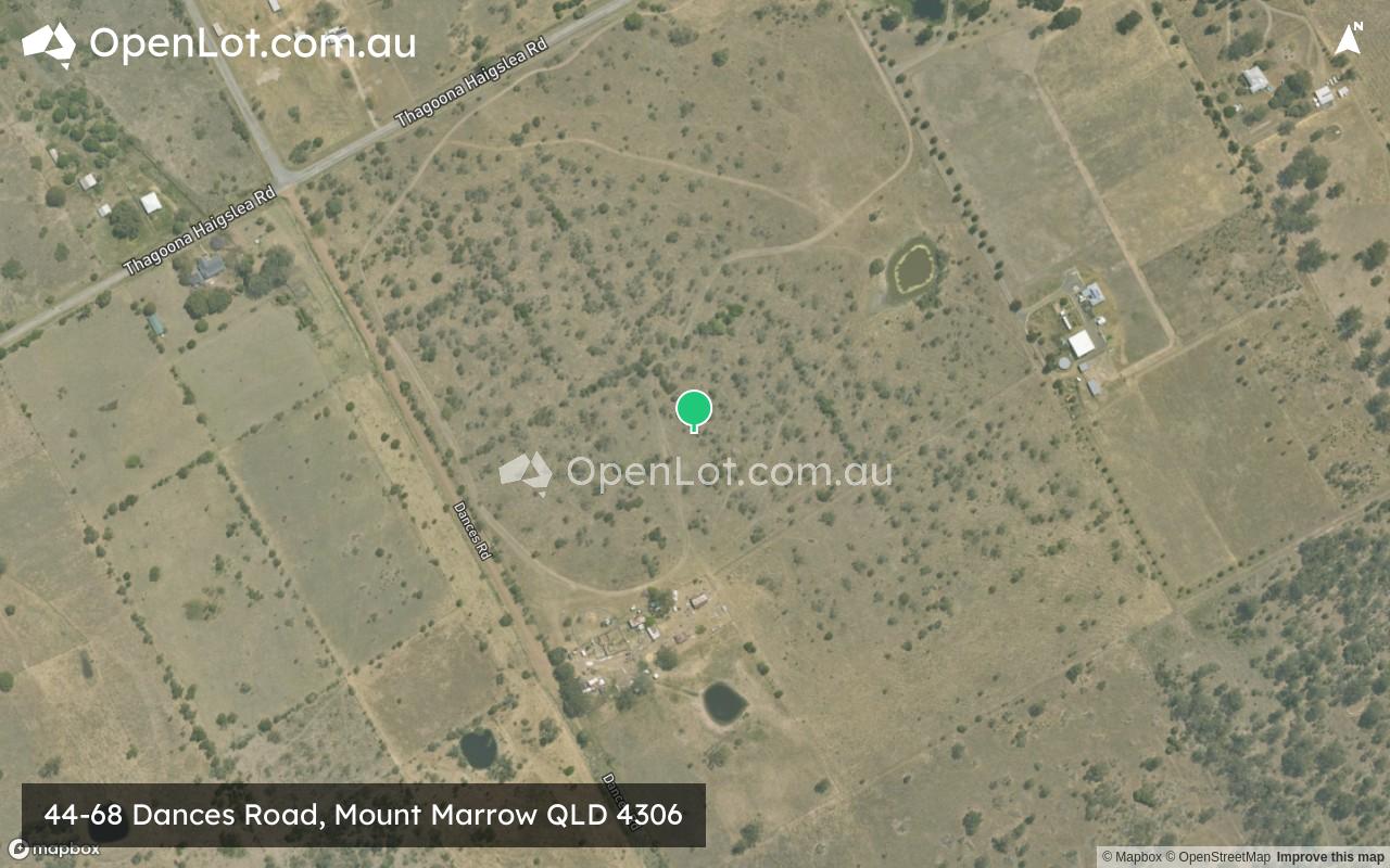
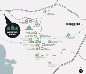
Location & Map for 44-68 Dances Road, Mount Marrow QLD 4306
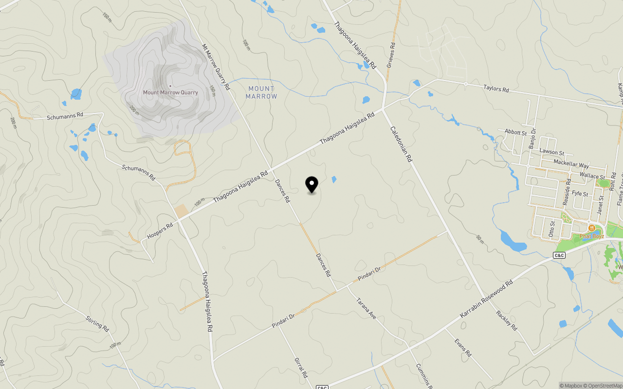
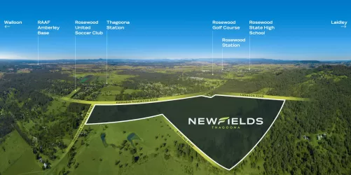
Schools near 44-68 Dances Road, Mount Marrow QLD 4306
Overview
This information is estimated by the OpenLot research team. Let us know here to provide up-to-date information about this development.
| Total new homes | |
| Area Size | 32.37 hectares |
| Growth Region | Greater Brisbane Growth Areas |
| City Council | Ipswich City Council |
| Developer | N/A |
| Distance to |
Updates for 44-68 Dances Road, Mount Marrow

Popular Estates near 44-68 Dances Road, Mount Marrow

Not exactly what you're looking for? Try surrounding suburbs
Brassall QLD 4305
5 estates | Ipswich City Council
10.3km east
Rosewood QLD 4340
5 estates | Ipswich City Council
6.3km south-west
Thagoona QLD 4306
1 estate | Ipswich City Council
3.3km south
Marburg QLD 4346
3 estates | Ipswich City Council
5.4km north-west
Wulkuraka QLD 4305
1 estate | Ipswich City Council
10.2km east
Walloon QLD 4306
5 estates | Ipswich City Council
2.6km south-east
Latest published articles


FAQs about 44-68 Dances Road, Mount Marrow QLD 4306
44-68 Dances Road, Mount Marrow QLD 4306 consists of 15 homes.
The total area for 44-68 Dances Road, Mount Marrow QLD 4306 is 32.37 hectares.
44-68 Dances Road, Mount Marrow QLD 4306 falls under Ipswich City Council.
44-68 Dances Road, Mount Marrow QLD 4306 is 41 km west of Brisbane CBD.
Nearby schools for 44-68 Dances Road, Mount Marrow QLD 4306:
- Mount Marrow State School - 1.2km west
- Walloon State School - 3.0km east
- Haigslea State School - 3.4km north
- St Brigid's Primary School - 5.8km south-west
- Marburg State School - 5.8km north-west
- Rosewood State High School - 6.0km south-west